Crackendell Wood
Wood, Forest in Hertfordshire Welwyn Hatfield
England
Crackendell Wood

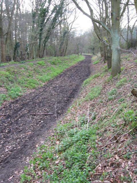
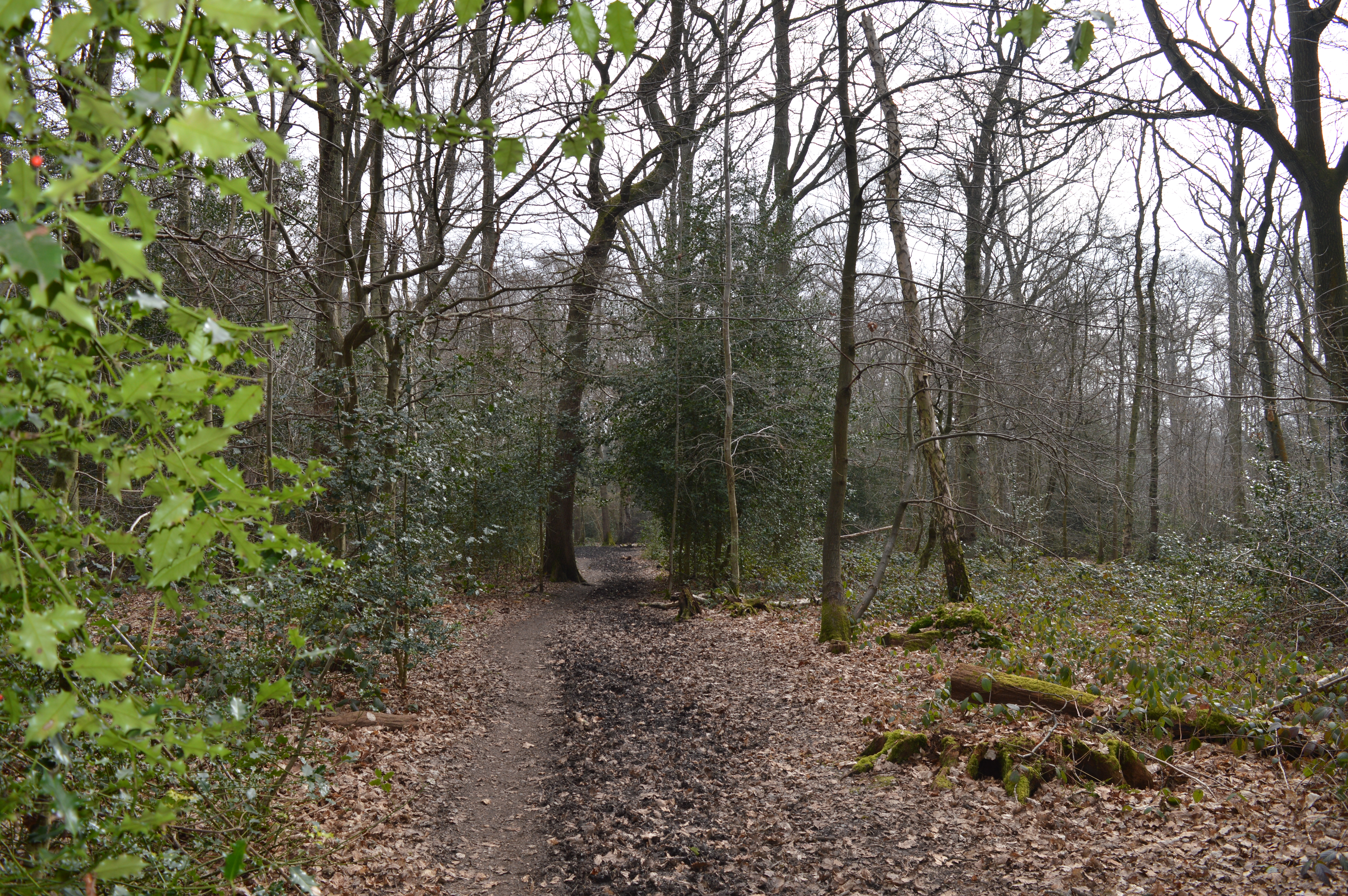
Crackendell Wood is a picturesque woodland located in Hertfordshire, England. It covers an area of approximately 50 hectares and is situated near the town of Welwyn Garden City. The wood is managed by the Hertfordshire County Council and is a popular destination for nature enthusiasts and hikers.
The woodland is predominantly composed of native broadleaf trees, including oak, beech, and hornbeam. These majestic trees create a dense and lush canopy, providing a haven for a diverse array of flora and fauna. Bluebells, primroses, and wood anemones carpet the forest floor during the spring months, creating a stunning display of color.
Crackendell Wood also boasts a network of well-maintained footpaths and trails, allowing visitors to explore its beauty at their own pace. These paths wind through the wood, offering glimpses of tranquil ponds and babbling streams along the way. The wood provides a peaceful and serene atmosphere, making it an ideal place for relaxation and reflection.
The woodland is home to a variety of wildlife, including deer, foxes, and an abundance of bird species. The birdlife is particularly diverse, with woodpeckers, owls, and songbirds being commonly sighted. Nature lovers can often spot squirrels scurrying up and down the trees or catch a glimpse of a shy rabbit darting through the undergrowth.
Crackendell Wood is a true gem of Hertfordshire, offering a tranquil escape from the hustle and bustle of everyday life. Whether it's a leisurely stroll, birdwatching, or simply enjoying the peaceful ambiance, this woodland provides a delightful experience for all who visit.
If you have any feedback on the listing, please let us know in the comments section below.
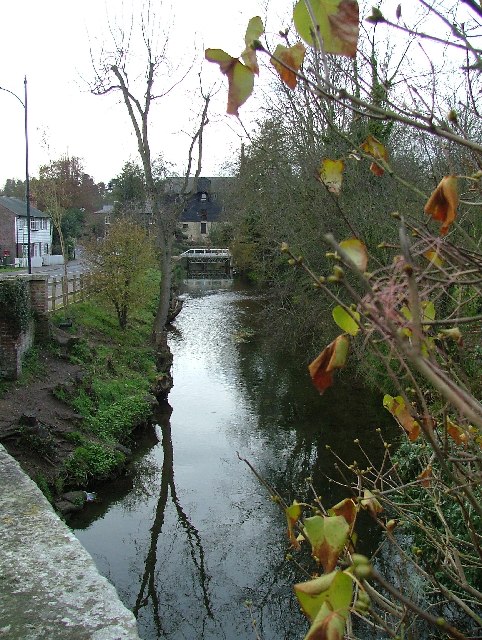
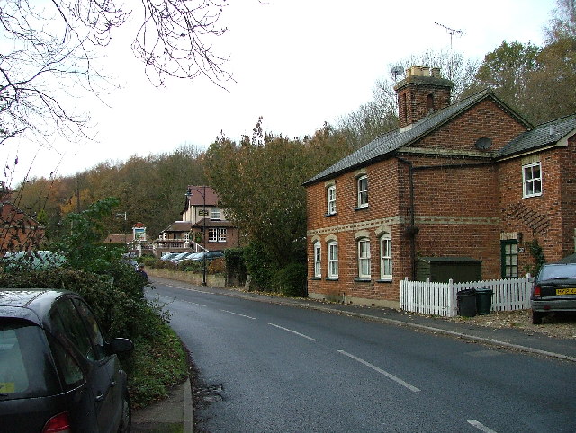
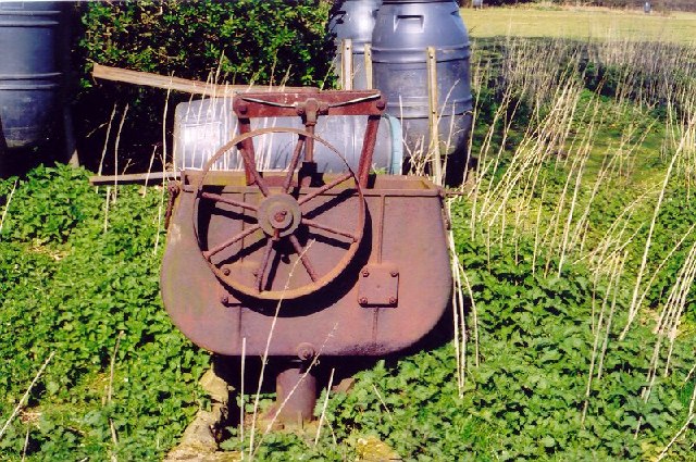
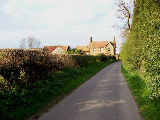
Crackendell Wood Images
Images are sourced within 2km of 51.809794/-0.23723244 or Grid Reference TL2113. Thanks to Geograph Open Source API. All images are credited.


Crackendell Wood is located at Grid Ref: TL2113 (Lat: 51.809794, Lng: -0.23723244)
Administrative County: Hertfordshire
District: Welwyn Hatfield
Police Authority: Hertfordshire
What 3 Words
///apron.noon.sushi. Near Welwyn Garden City, Hertfordshire
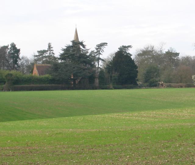
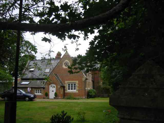
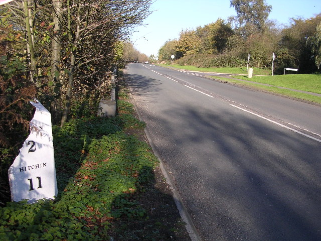
Nearby Locations
Related Wikis

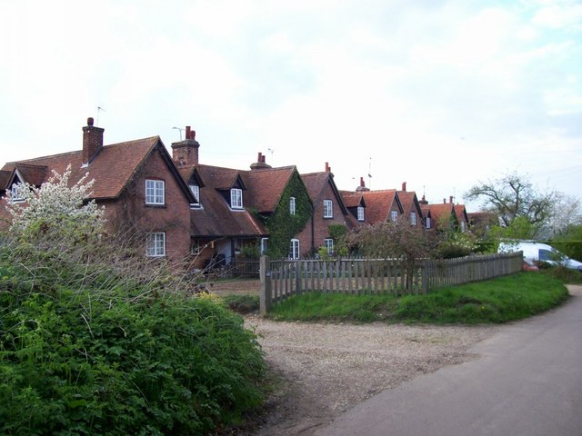
Ayot Green
Ayot Green is a hamlet in Hertfordshire, England and is near the A1(M) Motorway, close to Welwyn Garden City. It is a typical traditional English village...
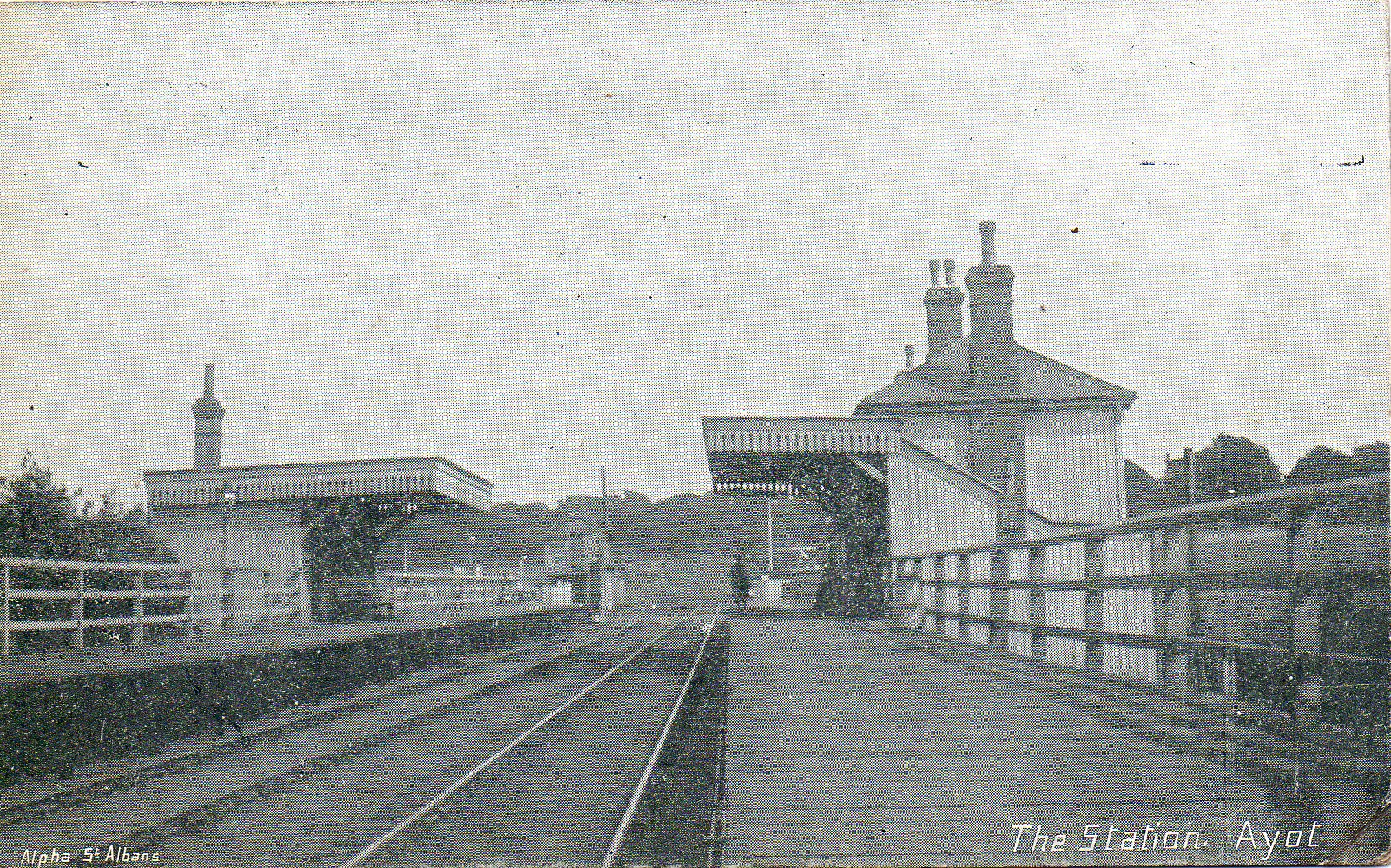
Ayot railway station
Ayot was a railway station serving Ayot St Peter near Welwyn Garden City in Hertfordshire, England. It was on the branch line to Dunstable. == History... ==
Lemsford
Lemsford is a village in Hertfordshire, England. It is located close to Welwyn Garden City and Hatfield and is in the Hatfield Villages Ward of the Borough...
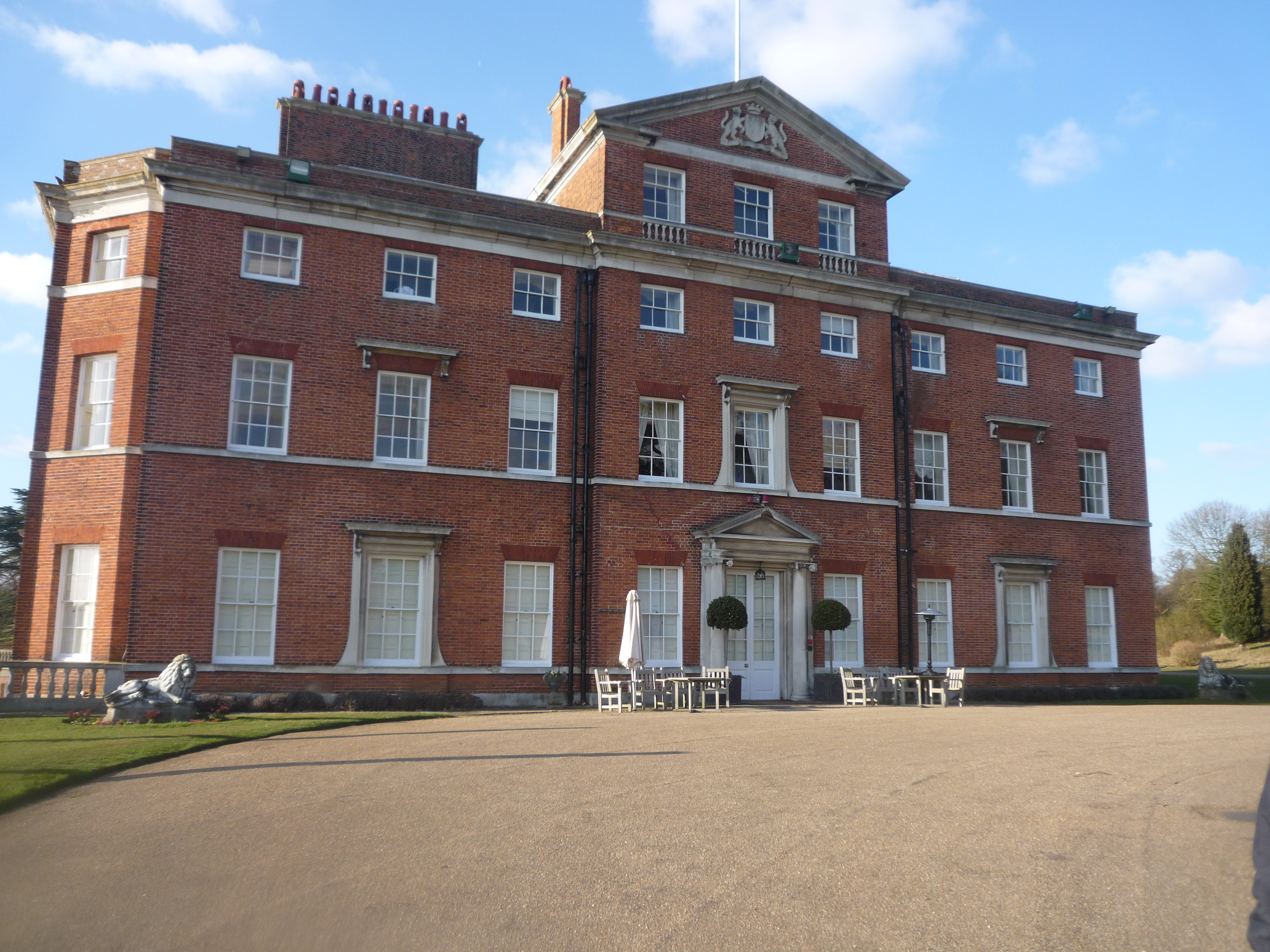
Brocket Hall
Brocket Hall is a neo-classical country house set in a large park at the western side of the urban area of Welwyn Garden City in Hertfordshire, England...

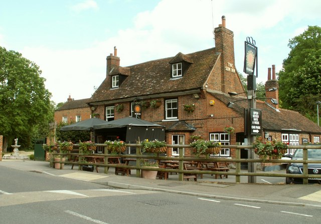
Ayot St Peter
Ayot St Peter is a village and civil parish in the Welwyn Hatfield district of Hertfordshire, England, about two miles north-west of Welwyn Garden City...
Sherrardspark Wood
Sherrardspark Wood (grid reference TL230139) is a 74.9 hectares (185 acres) biological site of Special Scientific Interest in Welwyn Garden City, Hertfordshire...
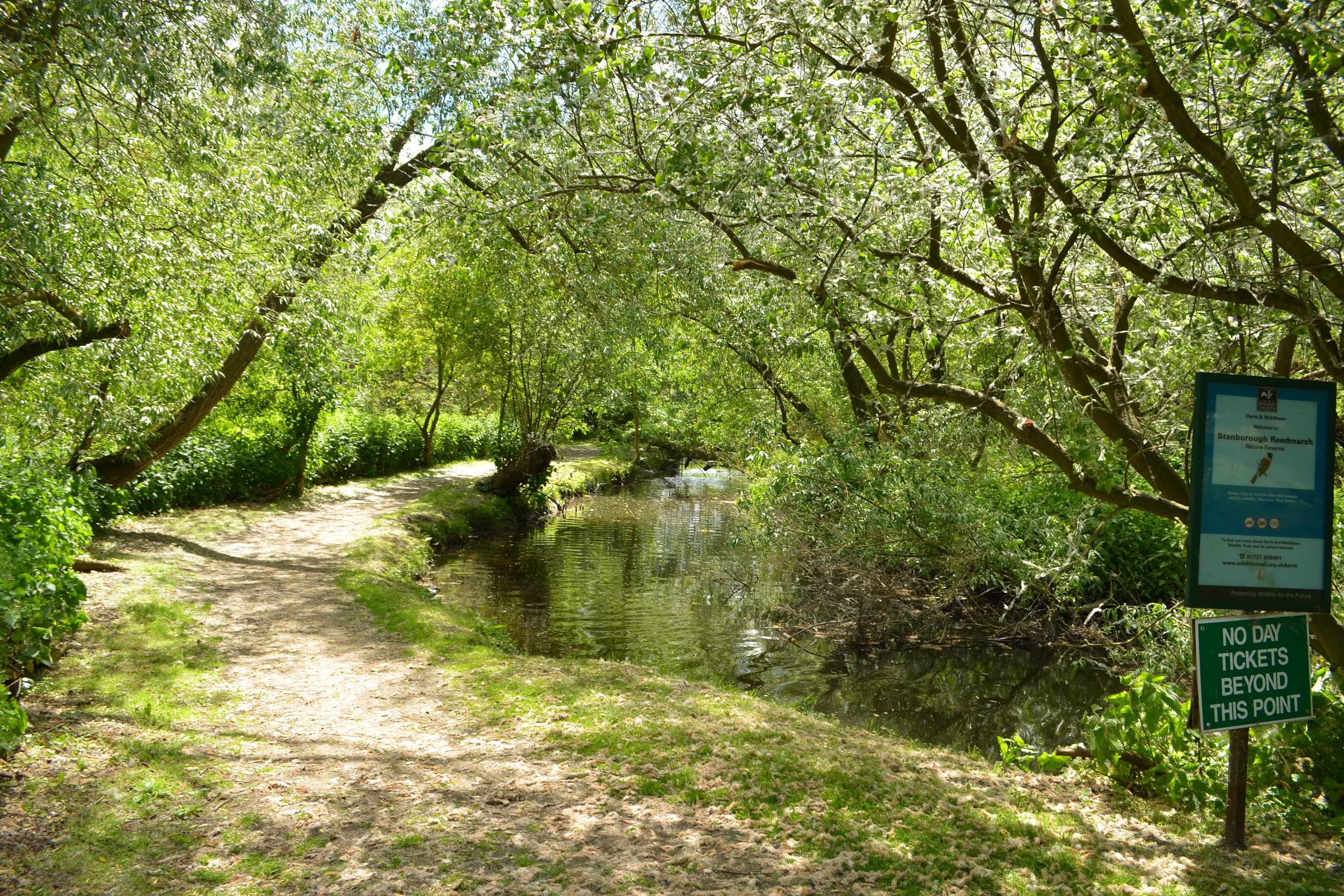
Stanborough Reedmarsh
Stanborough Reedmarsh is a 3.3 hectare Local Nature Reserve in Welwyn Garden City in Hertfordshire. It is owned by Welwyn Hatfield Borough Council and...

Station IX
Station IX (formerly known as the Inter-Services Research Bureau) was a secret British Special Operations Executive factory making special weapons and...
Nearby Amenities
Located within 500m of 51.809794,-0.23723244Have you been to Crackendell Wood?
Leave your review of Crackendell Wood below (or comments, questions and feedback).