Brocket Hall
Heritage Site in Hertfordshire Welwyn Hatfield
England
Brocket Hall

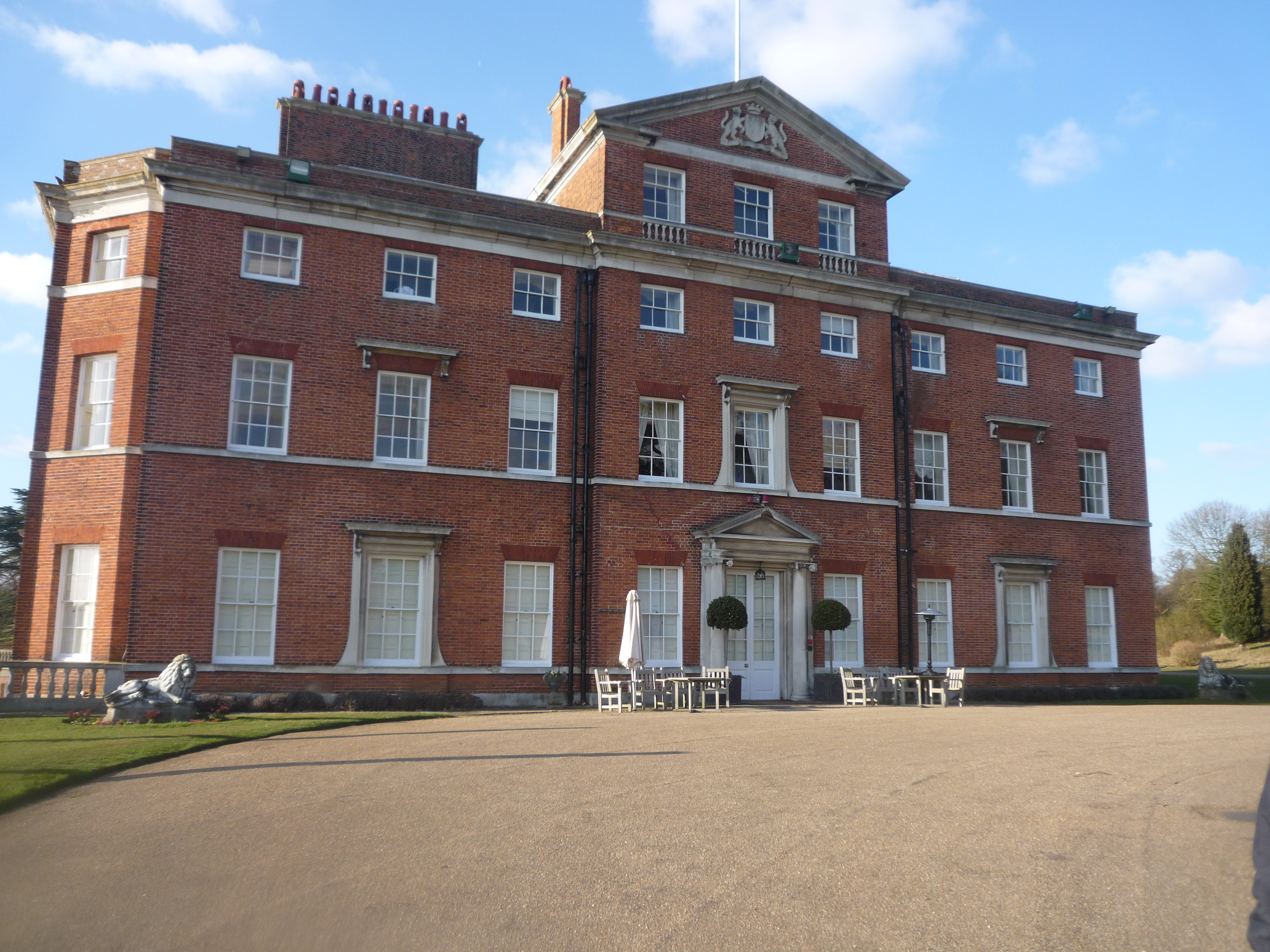
Brocket Hall is a historic country estate located in Hertfordshire, England. Situated approximately 22 miles north of London, it spans over 543 acres of lush parkland. The estate is renowned for its grand Georgian architecture and picturesque surroundings, making it a popular destination for visitors and an exclusive venue for various events.
The history of Brocket Hall dates back to the 13th century when a manor house was built on the site. Over the centuries, it has been home to several notable figures, including two British Prime Ministers – Lord Melbourne and Lord Palmerston. The current mansion, designed by renowned architect James Paine, was constructed in the mid-18th century and has since undergone various renovations and expansions.
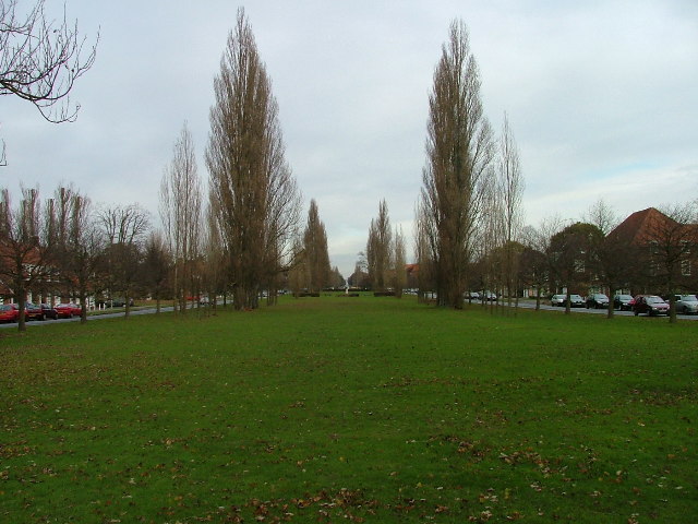
Brocket Hall is known for its stunning interiors, featuring exquisite period furniture, ornate ceilings, and lavish decorations. The estate also boasts magnificent gardens and parkland, designed by famous landscape architect Humphry Repton. Visitors can explore the beautifully manicured lawns, lakes, and woodland, providing a tranquil escape from the bustling city life.
In addition to its historical and architectural significance, Brocket Hall offers world-class facilities for leisure and hospitality. It is home to a luxury hotel, boasting individually designed rooms and suites, a spa, and a championship golf course. The estate also serves as a premier venue for weddings, corporate events, and private functions, offering a range of elegant spaces and impeccable services.
Overall, Brocket Hall stands as a testament to the rich heritage and natural beauty of Hertfordshire, attracting visitors from all over the world to experience its timeless charm and grandeur.
If you have any feedback on the listing, please let us know in the comments section below.
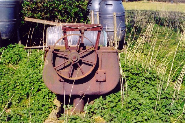
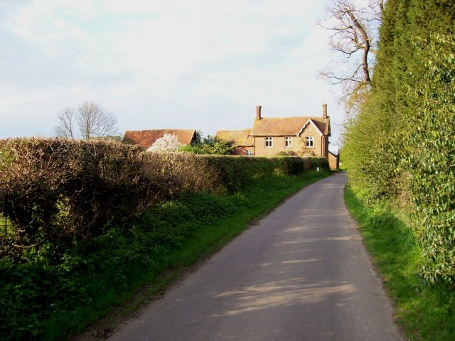
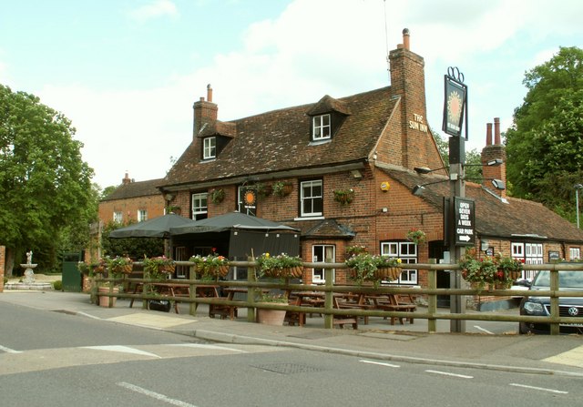
Brocket Hall Images
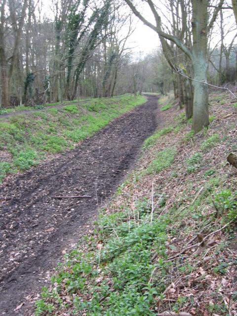
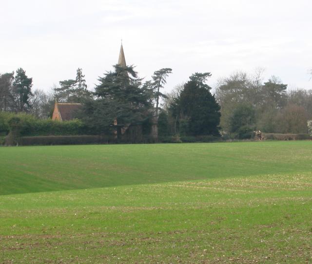
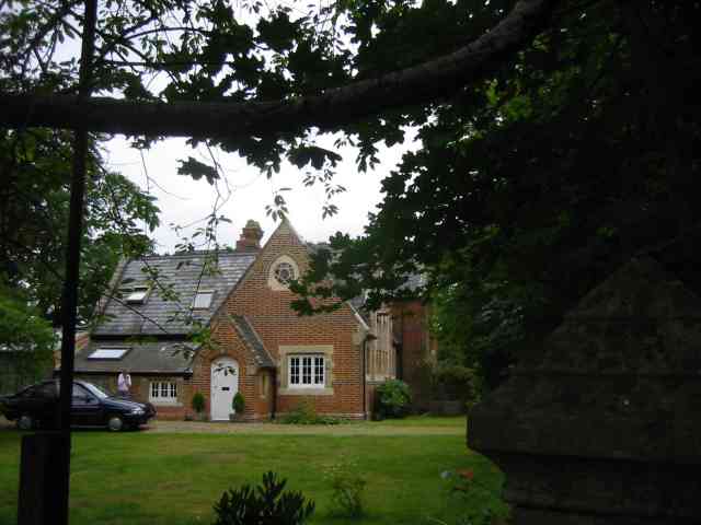
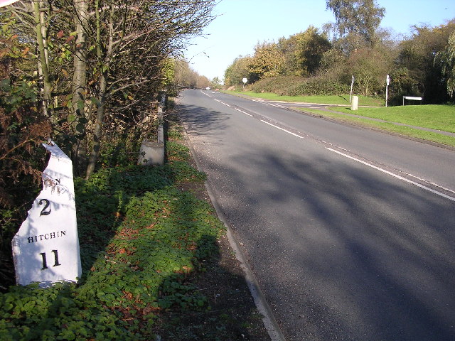
Images are sourced within 2km of 51.807/-0.237 or Grid Reference TL2113. Thanks to Geograph Open Source API. All images are credited.


Brocket Hall is located at Grid Ref: TL2113 (Lat: 51.807, Lng: -0.237)
Administrative County: Hertfordshire
District: Welwyn Hatfield
Police Authority: Hertfordshire
What 3 Words
///bared.taken.garage. Near Welwyn Garden City, Hertfordshire
Nearby Locations
Related Wikis

Ayot Green
Ayot Green is a hamlet in Hertfordshire, England and is near the A1(M) Motorway, close to Welwyn Garden City. It is a typical traditional English village...
Lemsford
Lemsford is a village in Hertfordshire, England. It is located close to Welwyn Garden City and Hatfield and is in the Hatfield Villages Ward of the Borough...
Brocket Hall
Brocket Hall is a neo-classical country house set in a large park at the western side of the urban area of Welwyn Garden City in Hertfordshire, England...
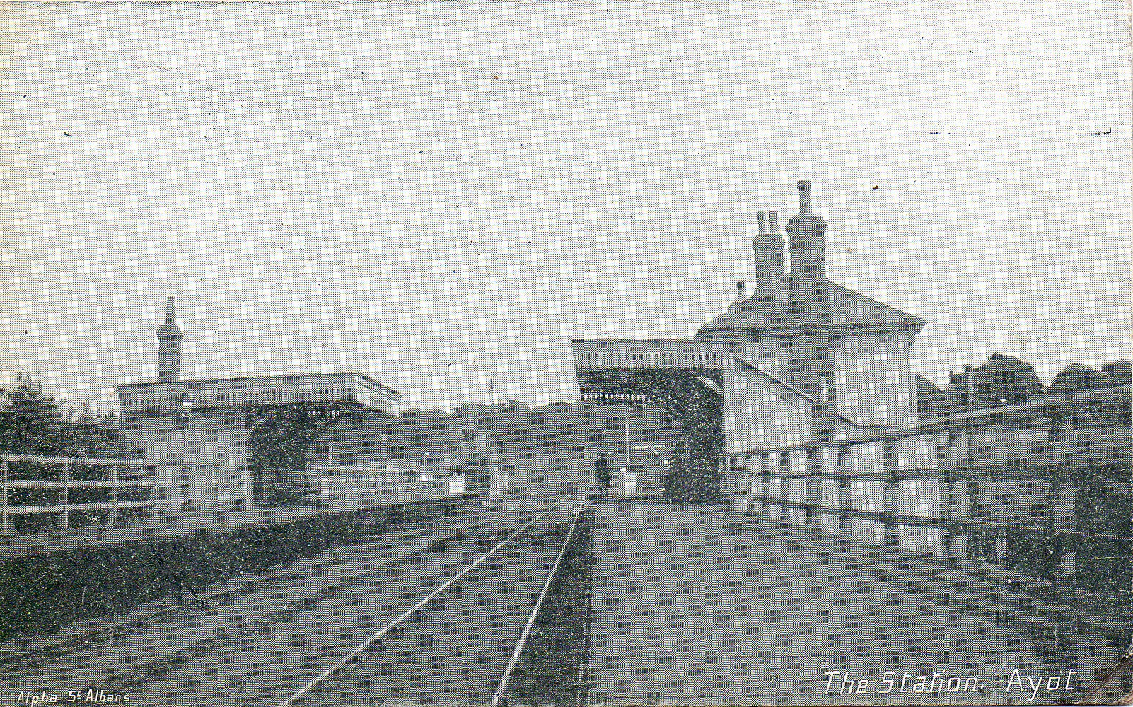
Ayot railway station
Ayot was a railway station serving Ayot St Peter near Welwyn Garden City in Hertfordshire, England. It was on the branch line to Dunstable. == History... ==
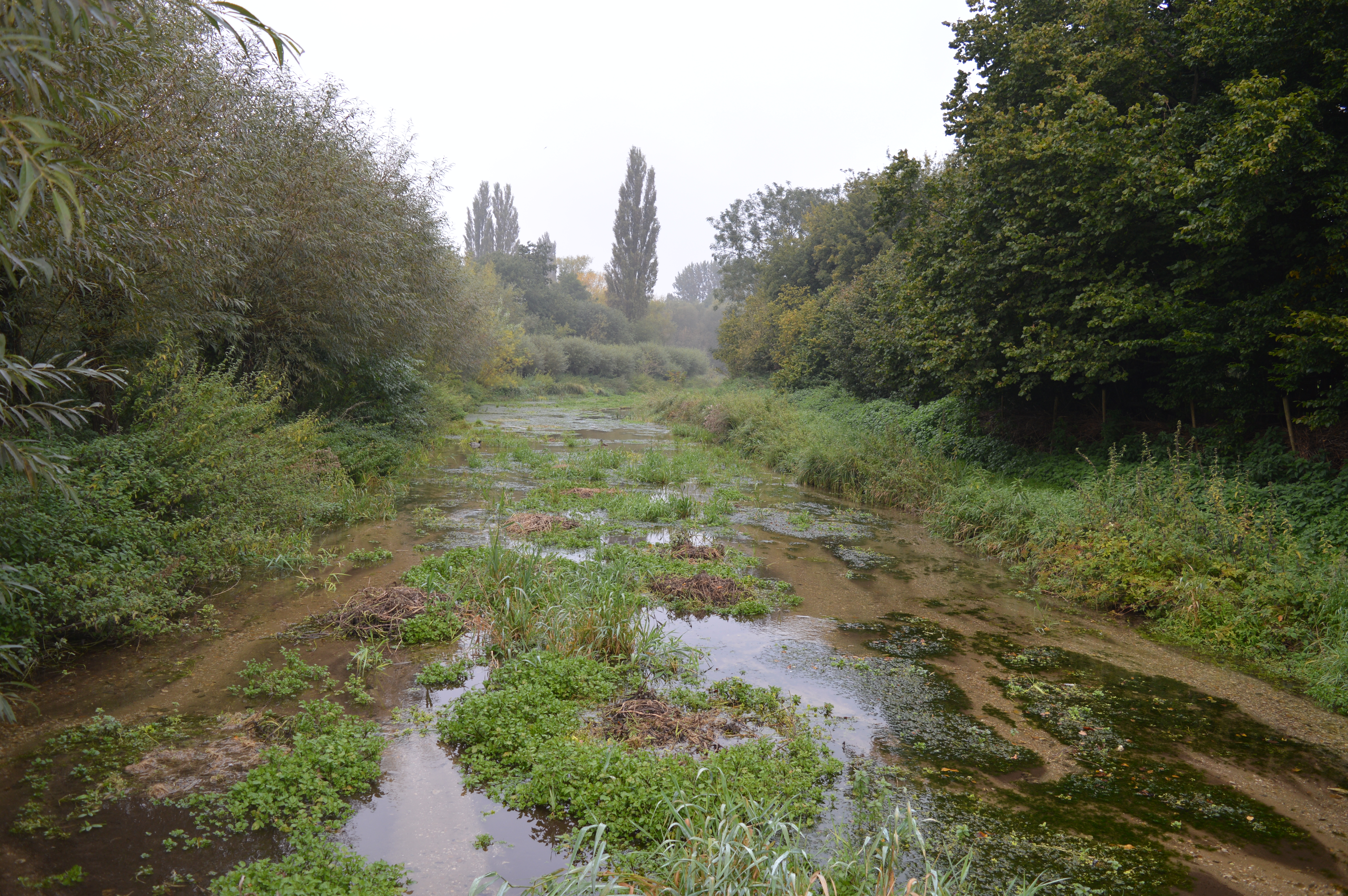
Lemsford Springs
Lemsford Springs is a 4 hectare nature reserve in Lemsford, Hertfordshire, England. It is managed by the Herts and Middlesex Wildlife Trust, which purchased...
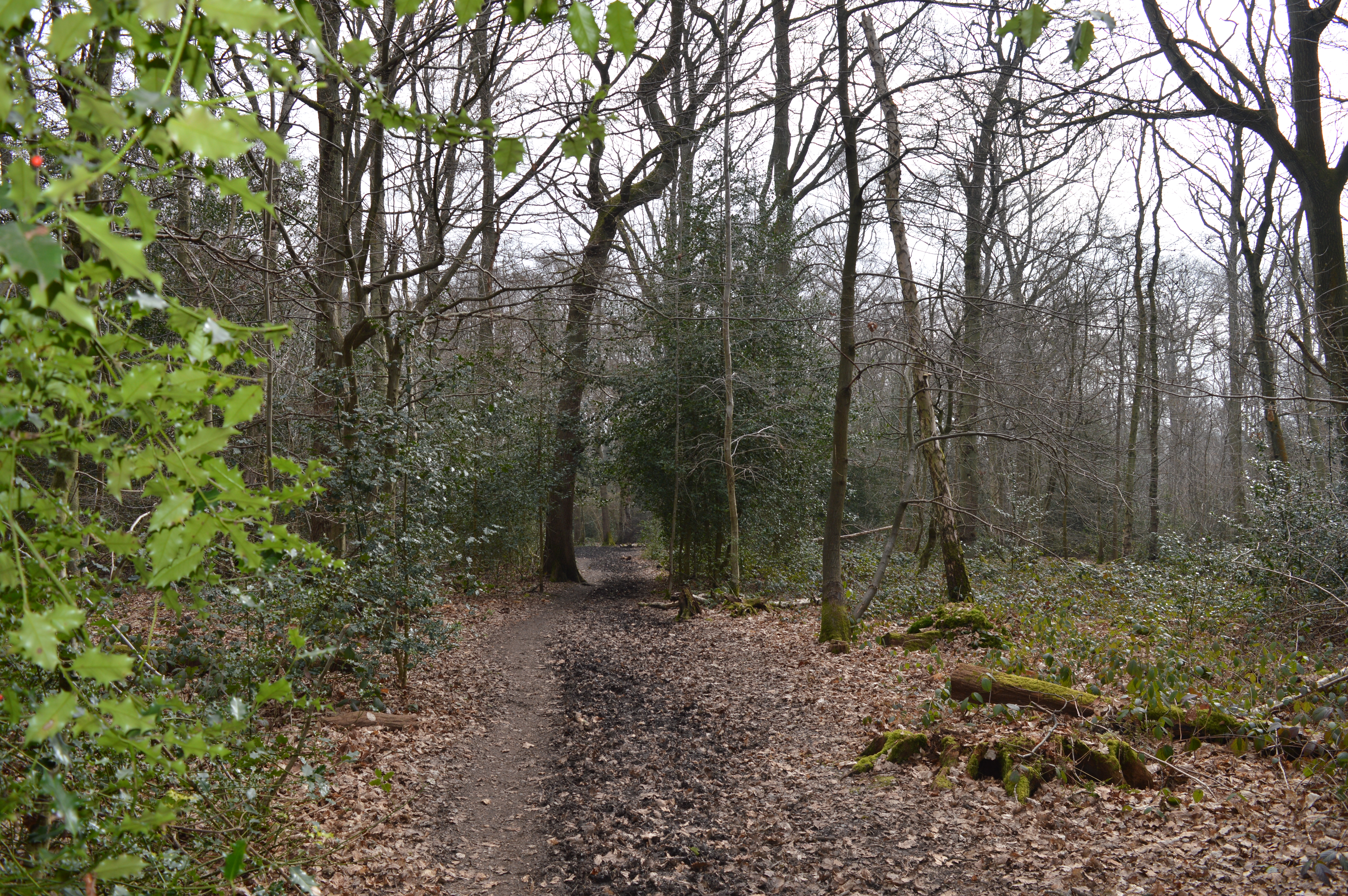
Sherrardspark Wood
Sherrardspark Wood (grid reference TL230139) is a 74.9 hectares (185 acres) biological site of Special Scientific Interest in Welwyn Garden City, Hertfordshire...
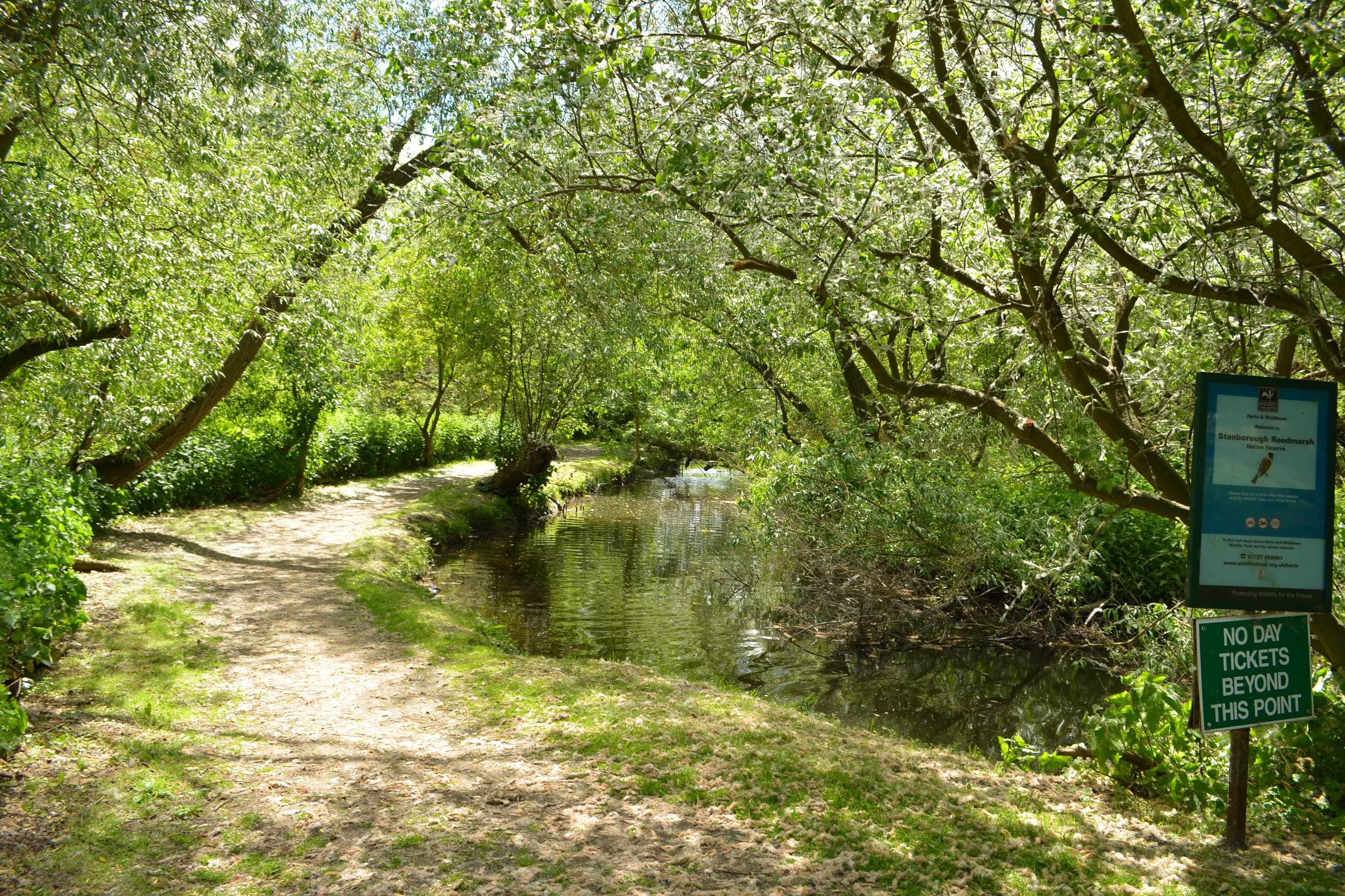
Stanborough Reedmarsh
Stanborough Reedmarsh is a 3.3 hectare Local Nature Reserve in Welwyn Garden City in Hertfordshire. It is owned by Welwyn Hatfield Borough Council and...

Ayot St Peter
Ayot St Peter is a village and civil parish in the Welwyn Hatfield district of Hertfordshire, England, about two miles north-west of Welwyn Garden City...
Nearby Amenities
Located within 500m of 51.807,-0.237Have you been to Brocket Hall?
Leave your review of Brocket Hall below (or comments, questions and feedback).