Downs Plantation
Wood, Forest in Huntingdonshire Huntingdonshire
England
Downs Plantation
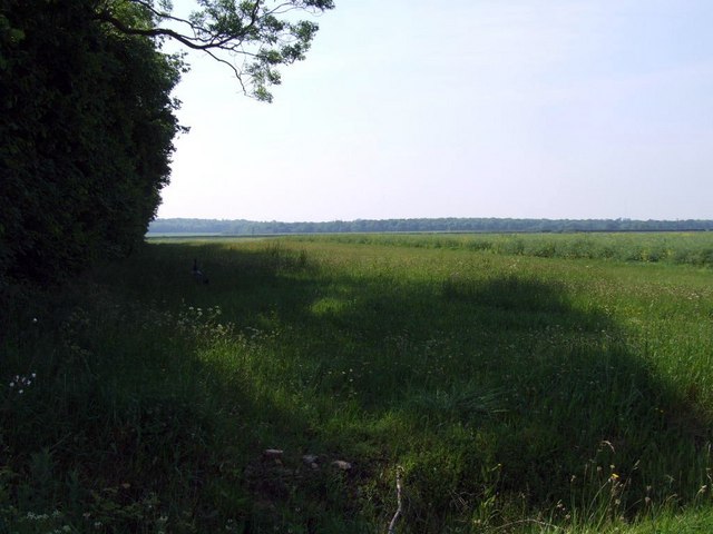
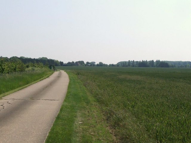
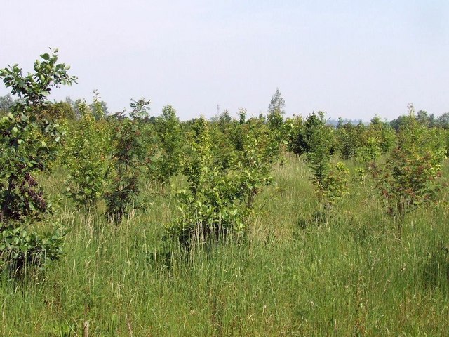
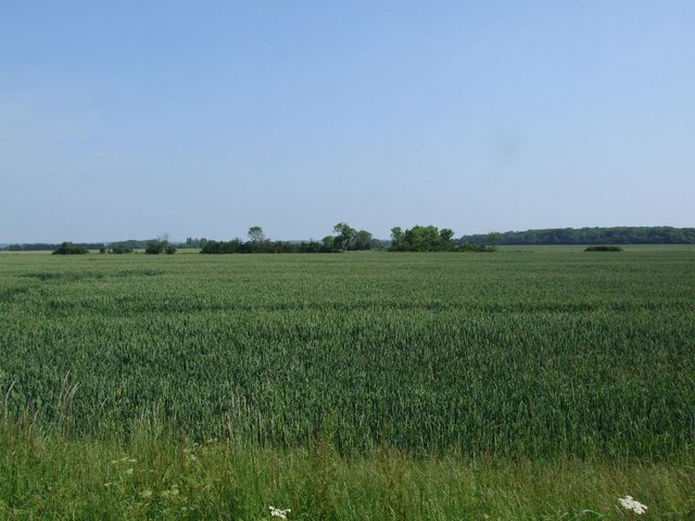
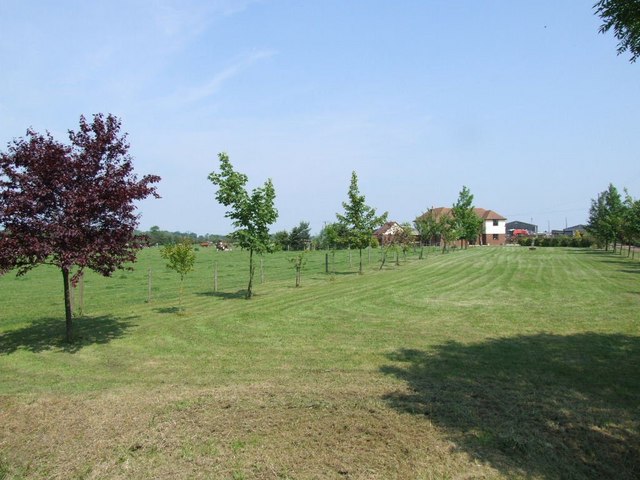
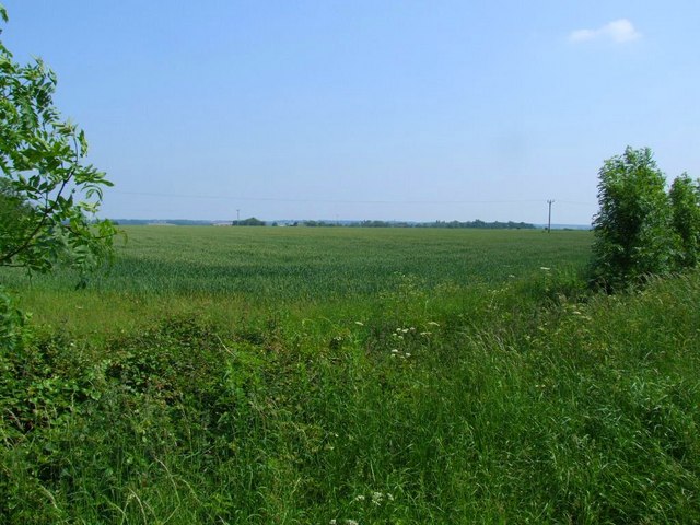
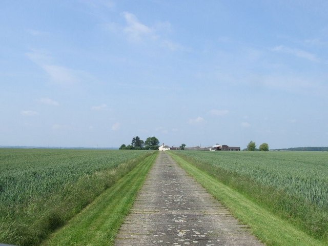
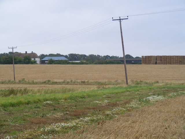
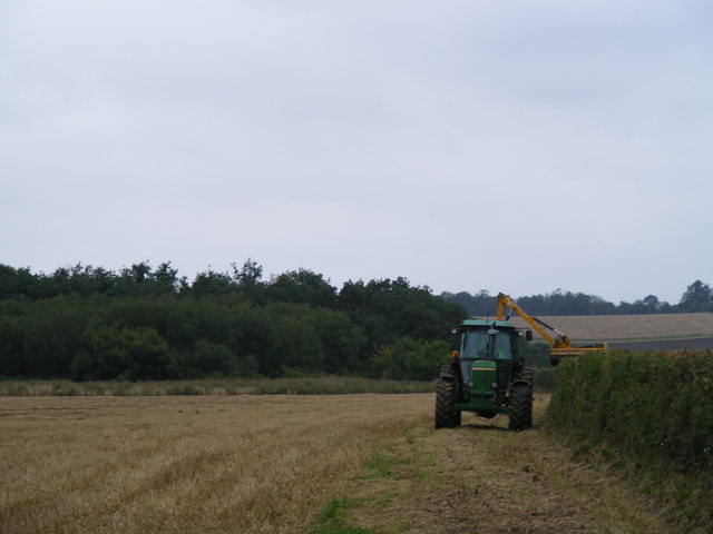
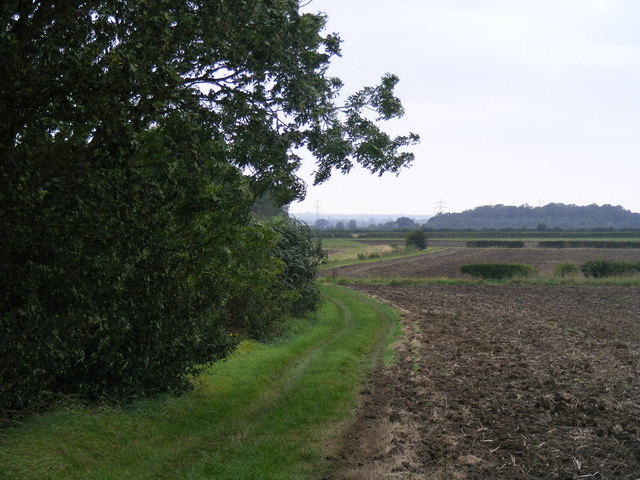
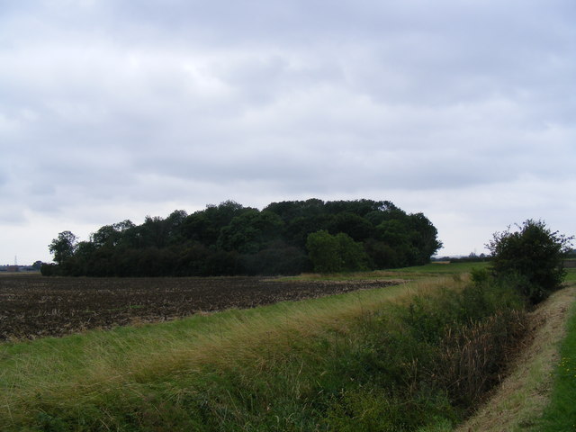
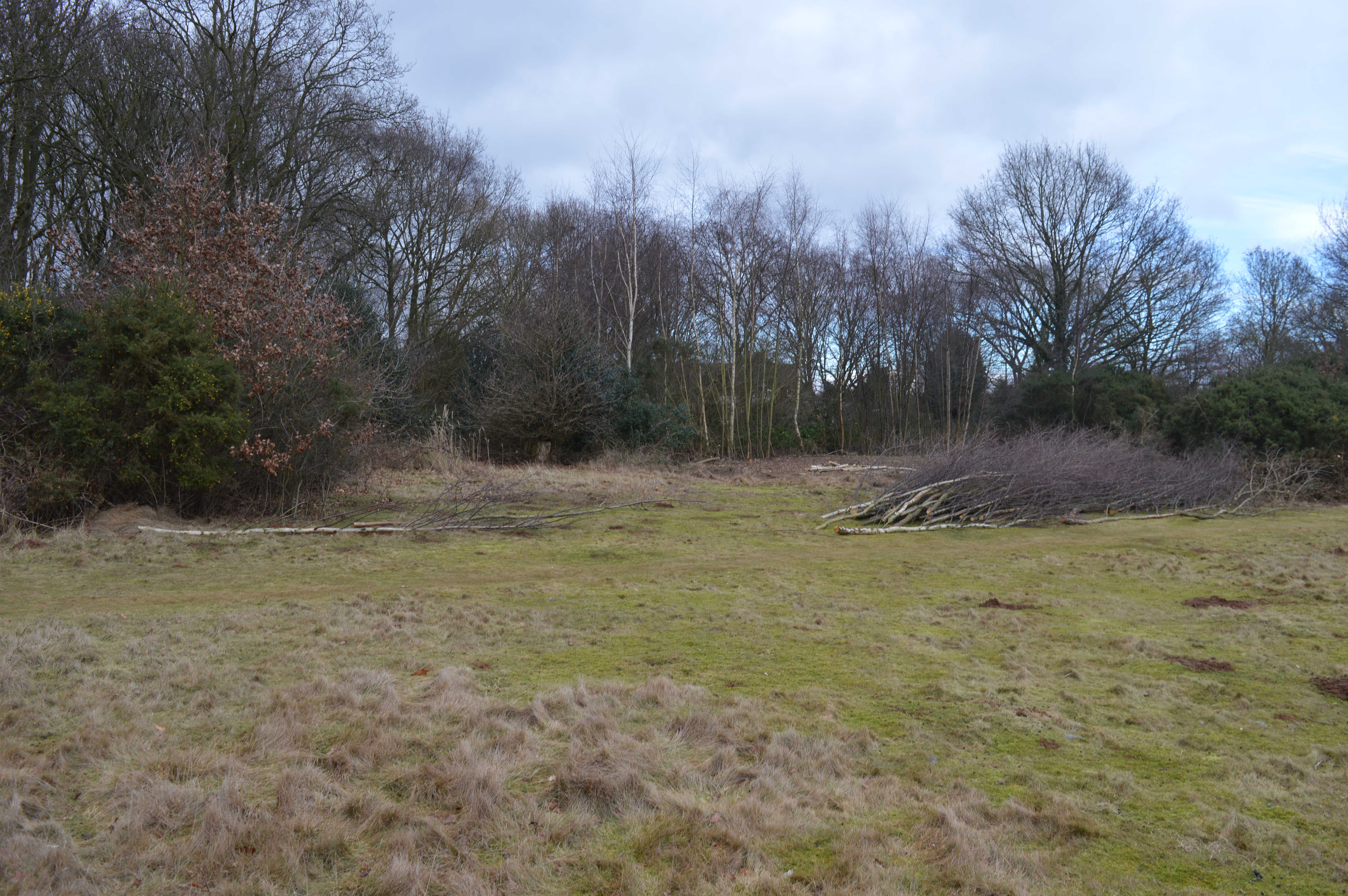
Downs Plantation is a picturesque woodland located in Huntingdonshire, a county in the eastern part of England. Covering an area of approximately 200 acres, this enchanting forest is a popular destination for nature enthusiasts and those seeking tranquility amidst a scenic landscape.
The plantation is primarily composed of a mix of deciduous and coniferous trees, including oak, beech, pine, and spruce. These trees create a rich and diverse habitat for a wide range of flora and fauna. The forest floor is carpeted with a variety of wildflowers, ferns, and mosses, adding to the charm and beauty of the plantation.
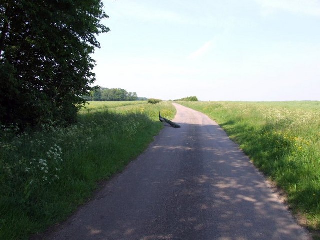
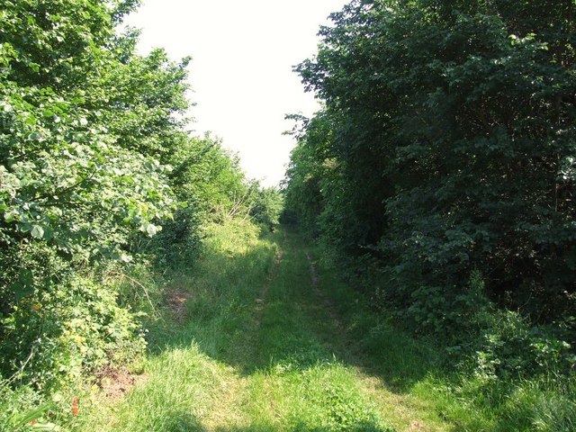
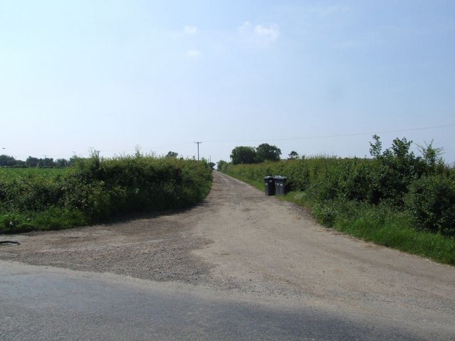
Tranquil walking trails wind through the plantation, offering visitors the opportunity to explore its natural wonders. These paths are well-maintained, making it accessible for people of all ages and abilities. Along the way, benches are strategically placed, providing resting spots for those who wish to soak in the peaceful ambiance or observe the abundant wildlife that call the plantation home.
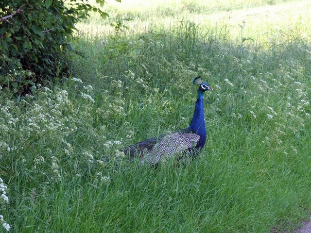
Downs Plantation is particularly renowned for its bird population, attracting birdwatchers from near and far. Bird species such as woodpeckers, owls, and various songbirds can be spotted throughout the year. The plantation is also home to a variety of mammals, including rabbits, squirrels, and occasionally deer.
In addition to its natural beauty, Downs Plantation holds historical significance. It has been a part of the local landscape for centuries and provides a glimpse into the area's past. Its serene and idyllic setting makes it a beloved destination for locals and tourists alike, who seek solace and connection with nature in this enchanting woodland retreat.
If you have any feedback on the listing, please let us know in the comments section below.
Downs Plantation Images
Images are sourced within 2km of 52.185163/-0.23066119 or Grid Reference TL2155. Thanks to Geograph Open Source API. All images are credited.
Downs Plantation is located at Grid Ref: TL2155 (Lat: 52.185163, Lng: -0.23066119)
Administrative County: Cambridgeshire
District: Huntingdonshire
Police Authority: Cambridgeshire
What 3 Words
///crystals.urge.trump. Near Little Barford, Bedfordshire
Nearby Locations
Related Wikis

Eynesbury Hardwicke
Eynesbury Hardwicke is a former civil parish, now in the parishes of Abbotsley and St Neots, in the Huntingdonshire part of Cambridgeshire, England. At...

Abbotsley
Abbotsley is a village and civil parish within the Huntingdonshire district of Cambridgeshire, England. It is three miles from St Neots and 14 miles from...

St Margaret's Church, Abbotsley
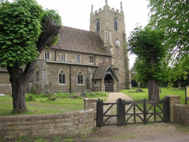
St Margaret's Church is a historic Anglican church in the village of Abbotsley, Cambridgeshire, England. It is recorded in the National Heritage List...

Weaveley and Sand Woods
Weaveley and Sand Woods is a 62.0-hectare (153-acre) biological Site of Special Scientific Interest north of Gamlingay in Cambridgeshire.This site has...
Tetworth
Tetworth is a village and former civil parish, now in the parish of Waresley-cum-Tetworth, in Cambridgeshire, England. Tetworth lies approximately 12 miles...
Gamlingay Cinques
Gamlingay Cinques is a 3.4-hectare (8.4-acre) nature reserve in Gamlingay in Cambridgeshire. It is managed by the Wildlife Trust for Bedfordshire, Cambridgeshire...

Little Barford
Little Barford is a hamlet and civil parish in the Borough of Bedford in Bedfordshire, England about 7 miles (11 km) northeast of the county town of Bedford...

Tempsford railway station
Tempsford railway station was a railway station built by the Great Northern Railway to serve the village of Tempsford in Bedfordshire, England. == History... ==
Nearby Amenities
Located within 500m of 52.185163,-0.23066119Have you been to Downs Plantation?
Leave your review of Downs Plantation below (or comments, questions and feedback).