Crab Tree Spinney
Wood, Forest in Huntingdonshire Huntingdonshire
England
Crab Tree Spinney
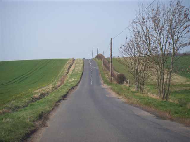
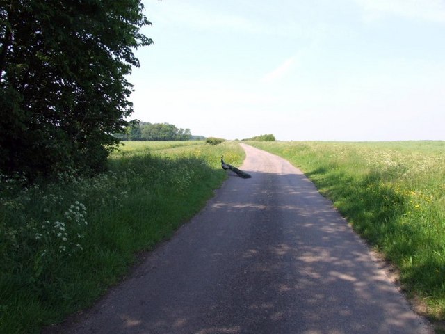
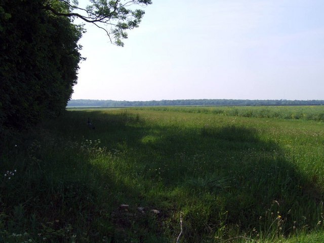
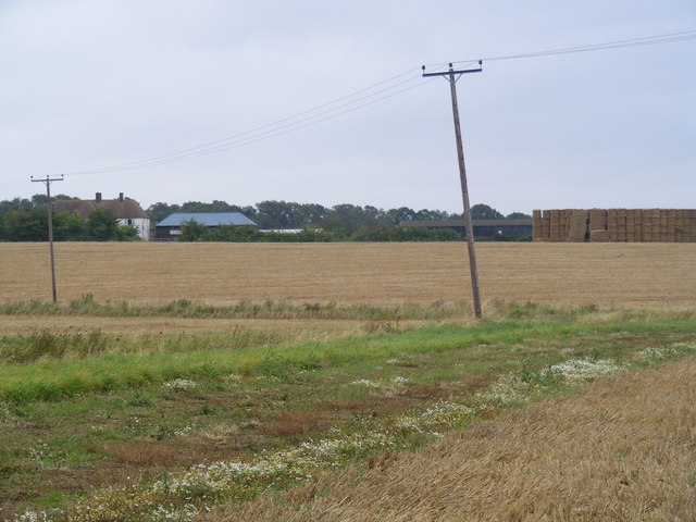
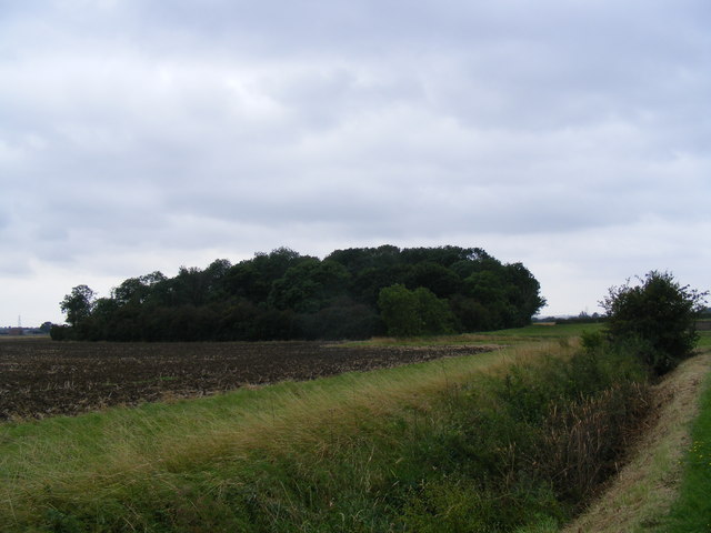
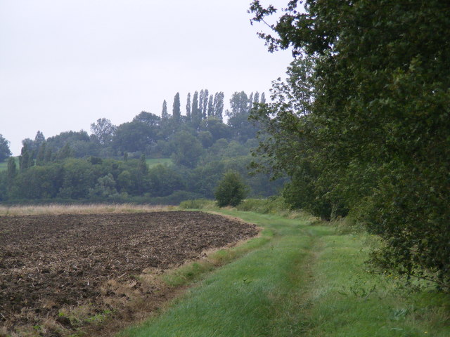
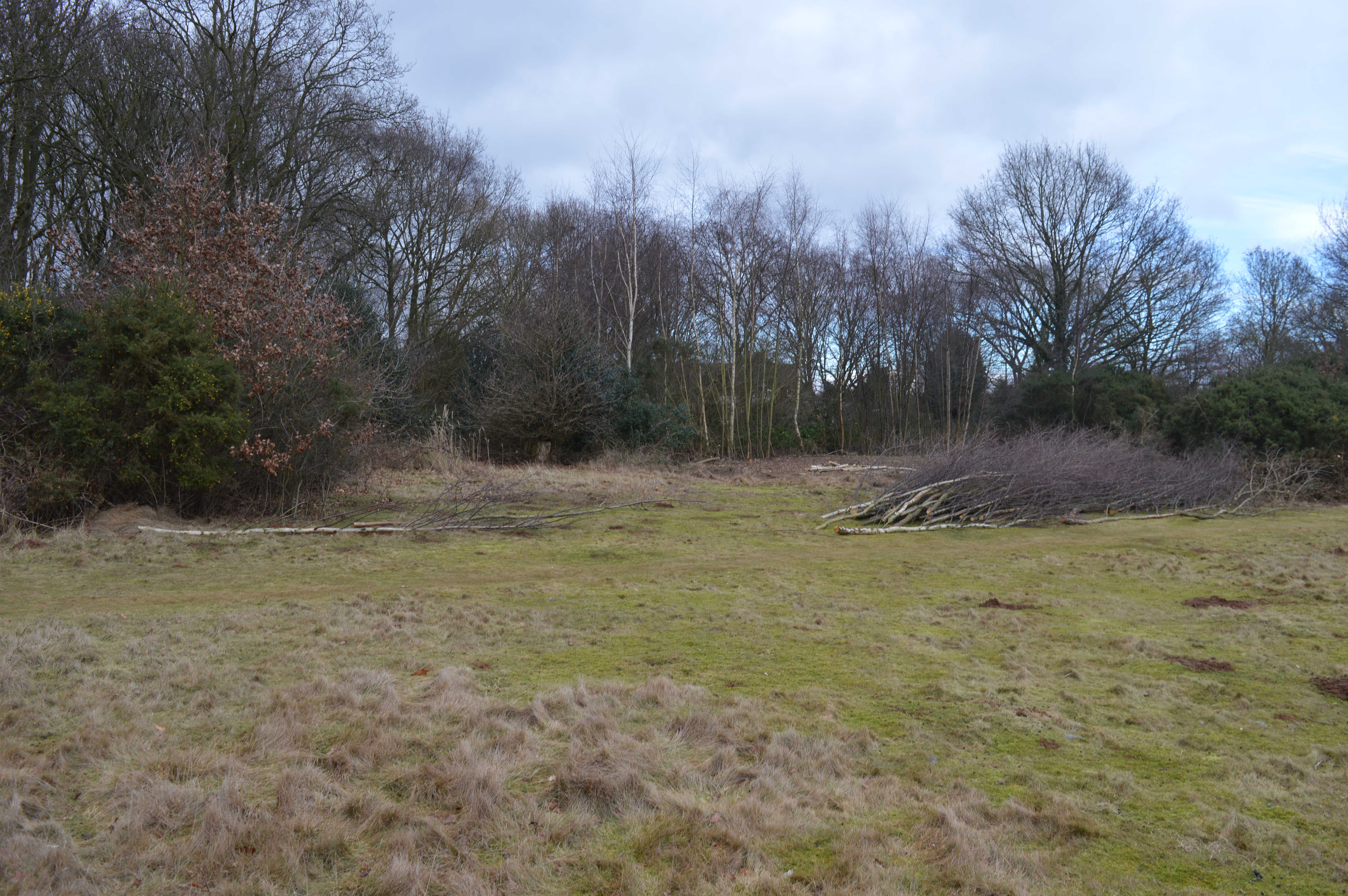
Crab Tree Spinney is a picturesque wood located in Huntingdonshire, a county in the eastern part of England. This enchanting forest is nestled in the heart of the countryside, offering visitors a serene and tranquil escape from the bustling city life.
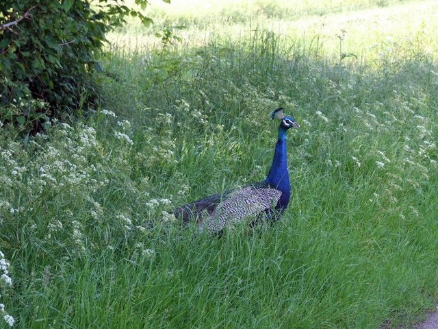
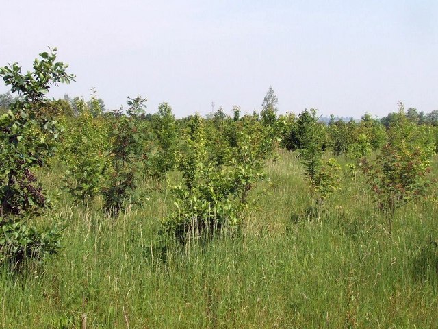
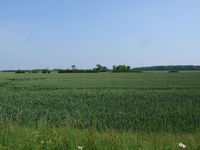
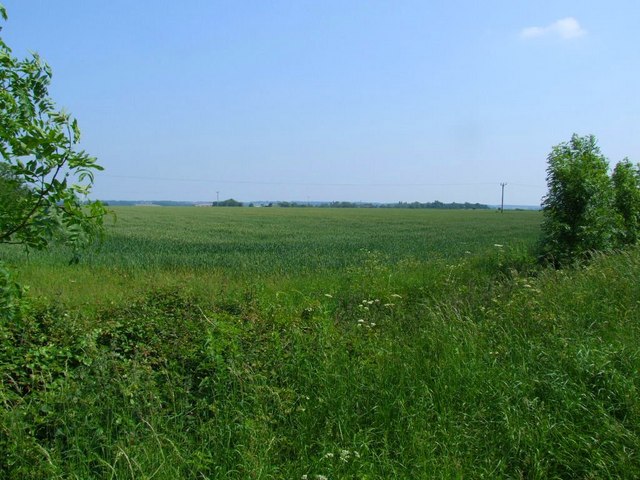
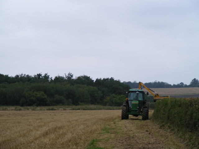
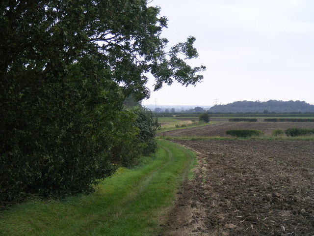
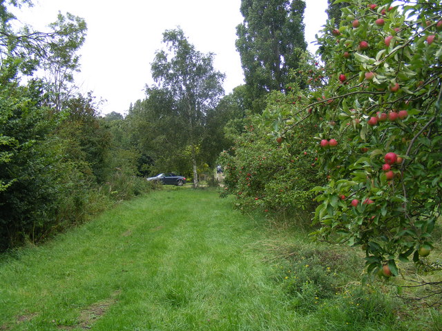
Covering an area of approximately 10 acres, Crab Tree Spinney boasts a diverse range of flora and fauna. The wood is predominantly composed of oak, ash, and birch trees, which provide a lush and verdant canopy. The forest floor is adorned with a colorful carpet of wildflowers, including bluebells and primroses, adding to the beauty of the landscape.
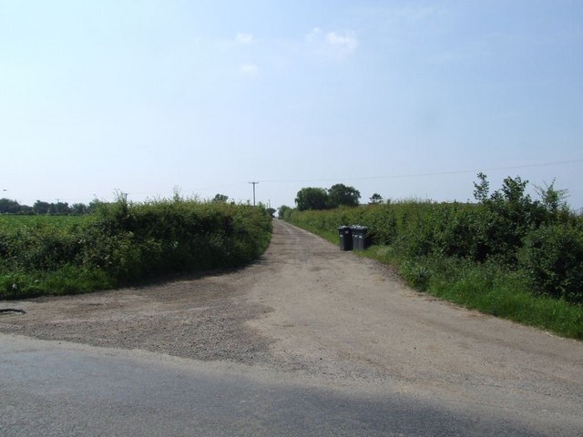
The wood is crisscrossed by a network of winding footpaths, which allow visitors to explore its natural wonders at their own pace. Nature enthusiasts can observe a variety of wildlife, such as squirrels, rabbits, and numerous species of birds that call Crab Tree Spinney their home.
The peaceful ambiance of Crab Tree Spinney makes it an ideal spot for a leisurely stroll, family picnics, or even birdwatching. Additionally, the wood is a popular destination for photographers and artists, who are drawn to its scenic vistas and tranquil atmosphere.
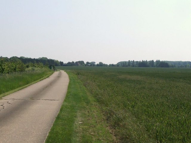
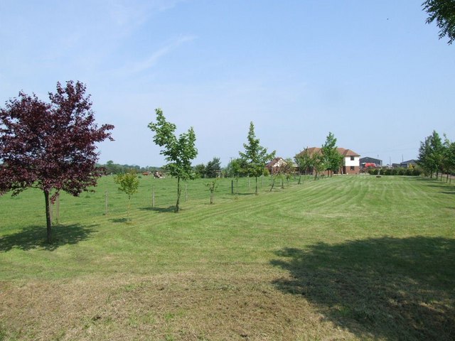
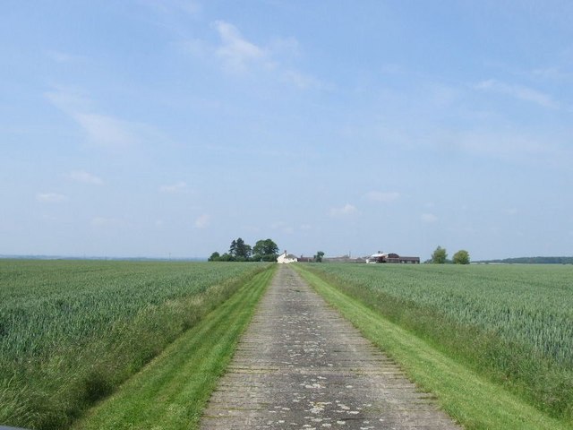
Crab Tree Spinney is open to the public year-round and is easily accessible by car or public transportation. The wood provides a welcome respite for locals and tourists alike, offering a slice of nature's tranquility in the heart of Huntingdonshire.
If you have any feedback on the listing, please let us know in the comments section below.
Crab Tree Spinney Images
Images are sourced within 2km of 52.182091/-0.23024193 or Grid Reference TL2155. Thanks to Geograph Open Source API. All images are credited.
Crab Tree Spinney is located at Grid Ref: TL2155 (Lat: 52.182091, Lng: -0.23024193)
Administrative County: Cambridgeshire
District: Huntingdonshire
Police Authority: Cambridgeshire
What 3 Words
///coolest.airstrip.bound. Near Little Barford, Bedfordshire
Nearby Locations
Related Wikis

Eynesbury Hardwicke
Eynesbury Hardwicke is a former civil parish, now in the parishes of Abbotsley and St Neots, in the Huntingdonshire part of Cambridgeshire, England. At...

Weaveley and Sand Woods
Weaveley and Sand Woods is a 62.0-hectare (153-acre) biological Site of Special Scientific Interest north of Gamlingay in Cambridgeshire.This site has...

Abbotsley
Abbotsley is a village and civil parish within the Huntingdonshire district of Cambridgeshire, England. It is three miles from St Neots and 14 miles from...

St Margaret's Church, Abbotsley
St Margaret's Church is a historic Anglican church in the village of Abbotsley, Cambridgeshire, England. It is recorded in the National Heritage List...
Tetworth
Tetworth is a village and former civil parish, now in the parish of Waresley-cum-Tetworth, in Cambridgeshire, England. Tetworth lies approximately 12 miles...
Gamlingay Cinques
Gamlingay Cinques is a 3.4-hectare (8.4-acre) nature reserve in Gamlingay in Cambridgeshire. It is managed by the Wildlife Trust for Bedfordshire, Cambridgeshire...

Tempsford railway station
Tempsford railway station was a railway station built by the Great Northern Railway to serve the village of Tempsford in Bedfordshire, England. == History... ==

RAF Tempsford
RAF Tempsford is a former Royal Air Force station located 2.3 miles (3.7 km) north east of Sandy, Bedfordshire, England and 4.4 miles (7.1 km) south of...
Nearby Amenities
Located within 500m of 52.182091,-0.23024193Have you been to Crab Tree Spinney?
Leave your review of Crab Tree Spinney below (or comments, questions and feedback).