Benstead's Wood

Wood, Forest in Hertfordshire Welwyn Hatfield

England

Benstead's Wood

Coleman Green : cottages dated 1877
Coleman Green : cottages dated 1877 Credit: Jim Osley

Benstead's Wood is a beautiful forest located in Hertfordshire, England. Covering an area of approximately 50 acres, this woodland is a popular destination for nature enthusiasts and outdoor lovers. The wood is situated near the village of Essendon, just a short distance from the bustling city of London.

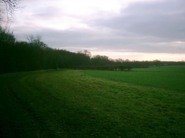
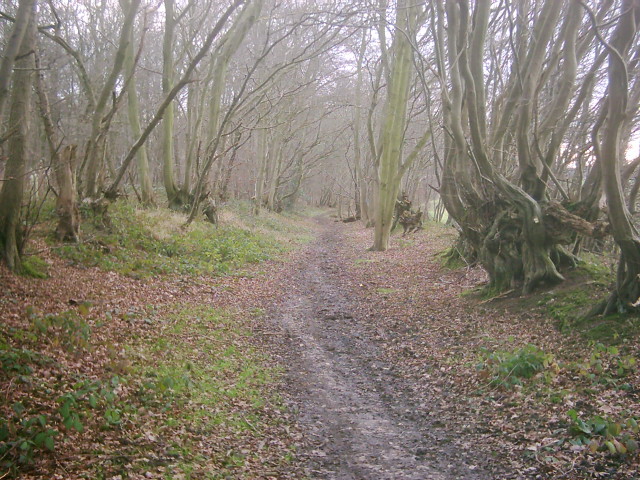
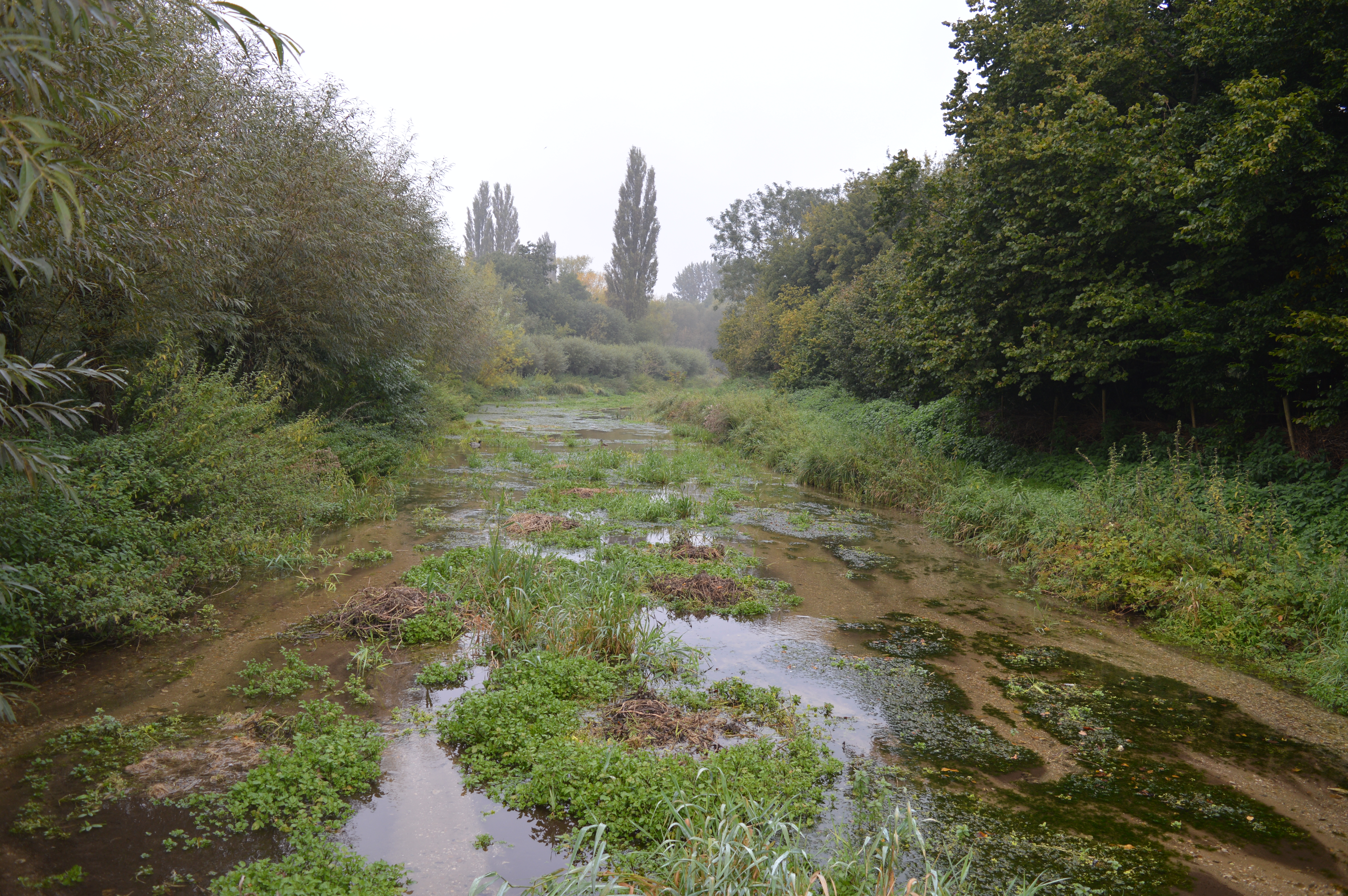
The forest is predominantly made up of deciduous trees, including oak, beech, and birch, creating a vibrant and diverse ecosystem. The canopy of the wood provides a cool and shaded environment, even on hot summer days. The forest floor is covered in a thick layer of leaf litter, creating a natural carpet of rich organic matter.

The wood is home to a variety of wildlife, including birds, mammals, and insects. Birdwatchers can observe species such as woodpeckers, owls, and various songbirds. Squirrels are a common sight, scurrying among the trees, while deer can sometimes be spotted grazing in the open glades.

Benstead's Wood offers numerous walking trails, allowing visitors to explore its natural beauty at their own pace. The paths wind through the trees, offering glimpses of picturesque meadows and ponds along the way. The wood also features a small picnic area, providing a perfect spot for visitors to relax and enjoy a meal amidst the tranquil surroundings.

Overall, Benstead's Wood is a haven of natural beauty and biodiversity in Hertfordshire. Its serene atmosphere, diverse flora and fauna, and well-maintained walking trails make it a perfect destination for those seeking a peaceful escape from the urban hustle and bustle.

If you have any feedback on the listing, please let us know in the comments section below.

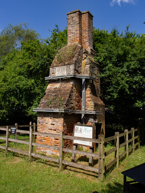
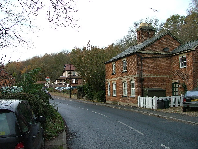
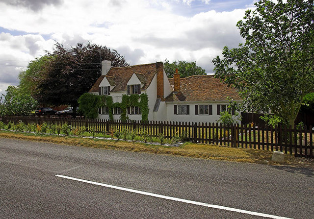
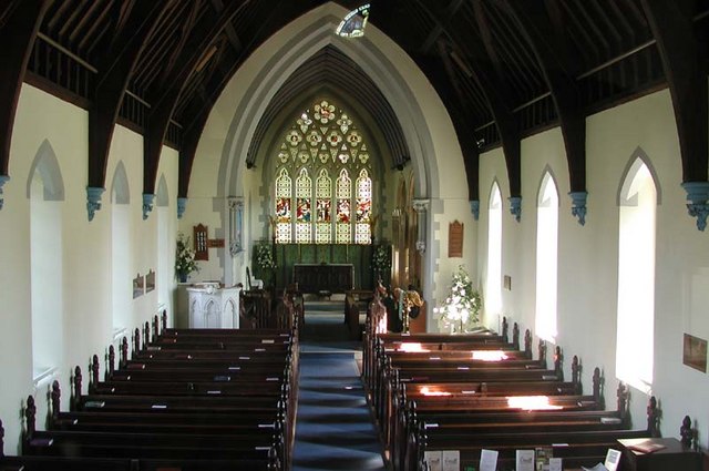
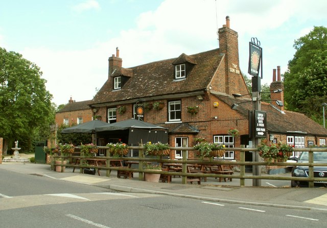
Benstead's Wood Images

Images are sourced within 2km of 51.79468/-0.25361395 or Grid Reference TL2012. Thanks to Geograph Open Source API. All images are credited.

Coleman Green : cottages dated 1877
Coleman Green : John Bunyan's Chimney Grade II listed structure - <span class="nowrap"><a title="https://historicengland.org.uk/listing/the-list/list-entry/1175683?section=official-list-entry" rel="nofollow ugc noopener" href="https://historicengland.org.uk/listing/the-list/list-entry/1175683?section=official-list-entry">Link</a><img style="margin-left:2px;" alt="External link" title="External link - shift click to open in new window" src="https://s1.geograph.org.uk/img/external.png" width="10" height="10"/></span>.
Coleman Green : John Bunyan's Chimney
Grade II listed structure - LinkExternal link.
Waterend Looking North from TL204136 to the ford at Waterend on the River Lea, West of Welwyn Garden City. It's dry, but the water only has to rise a foot or so to flood the road - hence the little footbridge so people can cross without getting their feet wet.
Waterend
Looking North from TL204136 to the ford at Waterend on the River Lea, West of Welwyn Garden City. It's dry, but the water only has to rise a foot or so to flood the road - hence the little footbridge so people can cross without getting their feet wet.
Waterend house The large house just North of the ford (TL204137)
Waterend house
The large house just North of the ford (TL204137)
Brocket Hall, Lemsford This is the view one gets from the highway.
Brocket Hall, Lemsford
This is the view one gets from the highway.
Housing at Hatfield Garden Village Compared with the layouts of Welwyn Garden city this area is way below par. But then a generation separates the two
Housing at Hatfield Garden Village
Compared with the layouts of Welwyn Garden city this area is way below par. But then a generation separates the two
Lemsford Village. To the left, and not possible to get a view of at this point is the River Lea.  This photograph is taken from the Welwyn Garden City - Lemsford road.  The pub in the distance is the "Long Arm and the Short Arm".  The pub sign depicts a wooden lever arm that indicated the depth of the water at the crossing point of the River Lea of the ancient Great North Road. When the arm was in the dropped or raised position it showed the depth of water to the horse drawn waggoners and other users.
Lemsford Village.
To the left, and not possible to get a view of at this point is the River Lea. This photograph is taken from the Welwyn Garden City - Lemsford road. The pub in the distance is the "Long Arm and the Short Arm". The pub sign depicts a wooden lever arm that indicated the depth of the water at the crossing point of the River Lea of the ancient Great North Road. When the arm was in the dropped or raised position it showed the depth of water to the horse drawn waggoners and other users.
River from Waterend Ford View of the River Lea taken from Waterend Ford looking South-East
River from Waterend Ford
View of the River Lea taken from Waterend Ford looking South-East
Open land near Long Grove Plantation The photograph is taken just south of Upper Cromer Hyde Farm looking south towards long grove plantation. The plantation straddles TL2012 and TL2011
Open land near Long Grove Plantation
The photograph is taken just south of Upper Cromer Hyde Farm looking south towards long grove plantation. The plantation straddles TL2012 and TL2011
Old Road in Long Grove Plantation This wide footpath runs south from near Upper Cromer Hyde Farm to Symondshyde Farm. This section is wide with evidence of ditches and banks topped with laid hedges. It appears to have been a maintained as a road or track. As the path leaves the plantation it narrows and becomes a narrow footpath.
Old Road in Long Grove Plantation
This wide footpath runs south from near Upper Cromer Hyde Farm to Symondshyde Farm. This section is wide with evidence of ditches and banks topped with laid hedges. It appears to have been a maintained as a road or track. As the path leaves the plantation it narrows and becomes a narrow footpath.
Old laid hedge in Long Grove Plantation This is taken on the footpath/old road from Upper Cromer Hyde Farm to Symondshyde Farm in Long Grove Plantation. The photograph seems to show evidence of a very old laid hedge alongside the path. There are similar remains on both sides of the path.
Old laid hedge in Long Grove Plantation
This is taken on the footpath/old road from Upper Cromer Hyde Farm to Symondshyde Farm in Long Grove Plantation. The photograph seems to show evidence of a very old laid hedge alongside the path. There are similar remains on both sides of the path.
Lemsford Kennels Shown as Gosmore on the OS Explorer, the house is the core of a business named Lemsford Kennels
Lemsford Kennels
Shown as Gosmore on the OS Explorer, the house is the core of a business named Lemsford Kennels
Entrance to Brocket Hall The imposing driveway and entrance to Brocket Hall
Entrance to Brocket Hall
The imposing driveway and entrance to Brocket Hall
St John the Evangelist, Lemsford, Herts
St John the Evangelist, Lemsford, Herts - Churchyard
St John the Evangelist, Lemsford, Herts - East end
Show me another place!

Benstead's Wood is located at Grid Ref: TL2012 (Lat: 51.79468, Lng: -0.25361395)

Administrative County: Hertfordshire

District: Welwyn Hatfield

Police Authority: Hertfordshire

What 3 Words

///shut.pinks.plan. Near Wheathampstead, Hertfordshire

Related Wikis

Brocket Hall

Brocket Hall is a neo-classical country house set in a large park at the western side of the urban area of Welwyn Garden City in Hertfordshire, England...

Lemsford

Lemsford is a village in Hertfordshire, England. It is located close to Welwyn Garden City and Hatfield and is in the Hatfield Villages Ward of the Borough...

Lemsford Springs

Lemsford Springs is a 4 hectare nature reserve in Lemsford, Hertfordshire, England. It is managed by the Herts and Middlesex Wildlife Trust, which purchased...

Stanborough School, Welwyn Garden City

Stanborough School is a secondary academy school located in Welwyn Garden City, Hertfordshire, England. Like most secondary schools, it has a sixth form...

Ayot Green

Ayot Green is a hamlet in Hertfordshire, England and is near the A1(M) Motorway, close to Welwyn Garden City. It is a typical traditional English village...

Devil's Dyke, Hertfordshire

Devil's Dyke is the remains of a prehistoric defensive ditch which lies at the east side of the village of Wheathampstead, Hertfordshire, England. It is...

Barn Theatre, Welwyn Garden City

The Barn Theatre, located in Welwyn Garden City, England is a Grade II listed, 17th-century timber-framed barn converted to a community theatre in 1931...

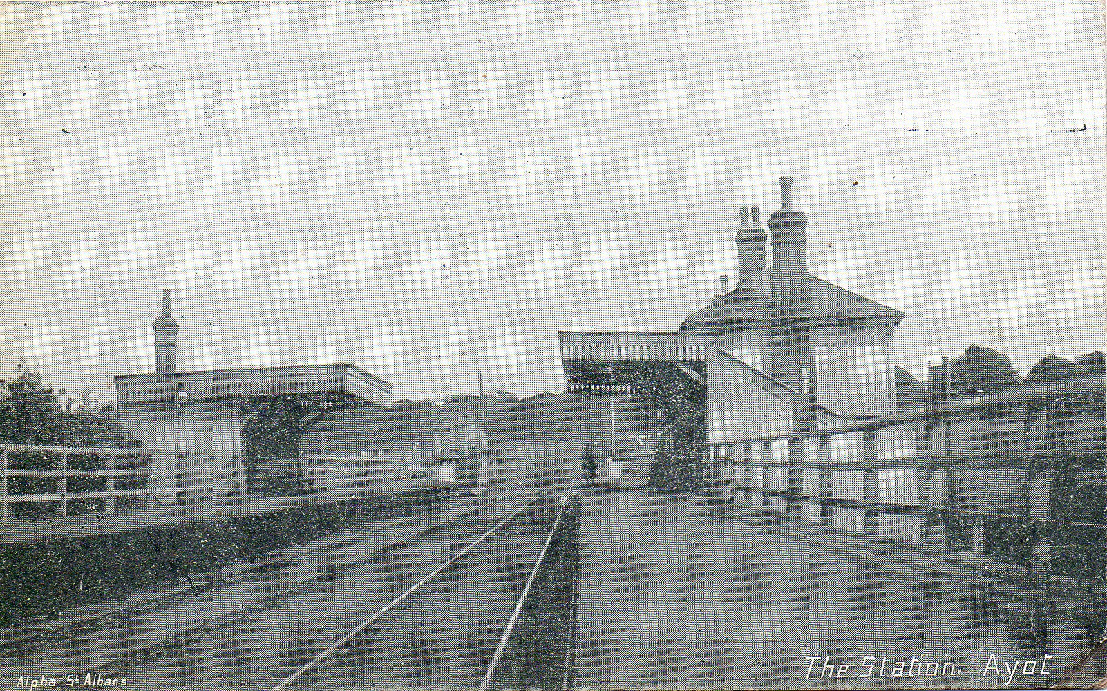
Ayot railway station

Ayot was a railway station serving Ayot St Peter near Welwyn Garden City in Hertfordshire, England. It was on the branch line to Dunstable. == History... ==

Nearby Amenities

Located within 500m of 51.79468,-0.25361395
Bus Stop
Crooked Chimney PH
Bench: no
Bin: no
Lit: no
Naptan AtcoCode: 210021606970
Naptan Bearing: NW
Naptan CommonName: Crooked Chimney PH
Naptan Crossing: Brocket Park
Naptan Indicator: nr
Naptan Landmark: Brocket Park
Naptan NaptanCode: hrtampwa
Naptan ShortCommonName: NA
Naptan Street: Marford Road
Naptan Verified: no
Public Transport: platform
Shelter: no
Source: naptan_import
Tactile Paving: no
Lat/Long: 51.7971591/-0.2476136
Cromer Hyde
Place: neighbourhood
Source: OS_OpenData_StreetView
Lat/Long: 51.7969557/-0.2549707
Man Made: tower
Tower Type: communication
Lat/Long: 51.7943258/-0.2534272
The data included in this document is from www.openstreetmap.org. The data is made available under ODbL.

Have you been to Benstead's Wood?

Leave your review of Benstead's Wood below (or comments, questions and feedback).