Beechen Dell
Valley in Hertfordshire Welwyn Hatfield
England
Beechen Dell

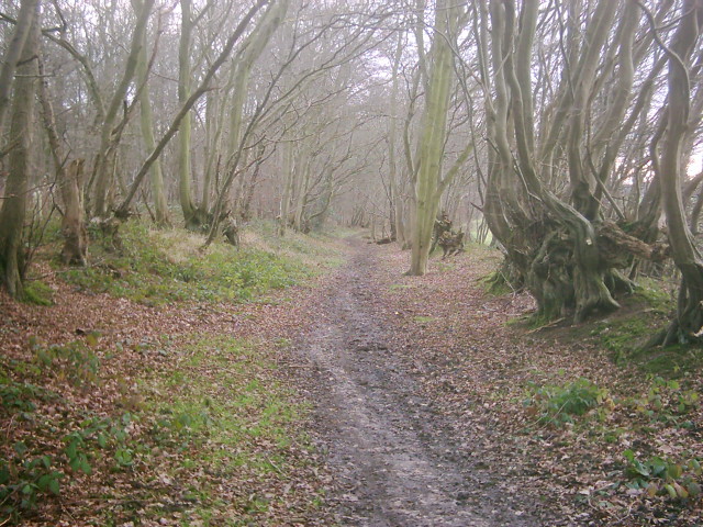
Beechen Dell is a picturesque valley located in Hertfordshire, England. Situated on the outskirts of the town of Hertford, this tranquil spot is known for its natural beauty and serene surroundings.
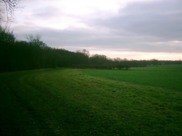
The valley is characterized by its lush greenery, with a variety of trees, plants, and wildflowers adorning its landscape. It is home to a diverse range of wildlife, including birds, butterflies, and small mammals, making it a popular destination for nature enthusiasts and birdwatchers.
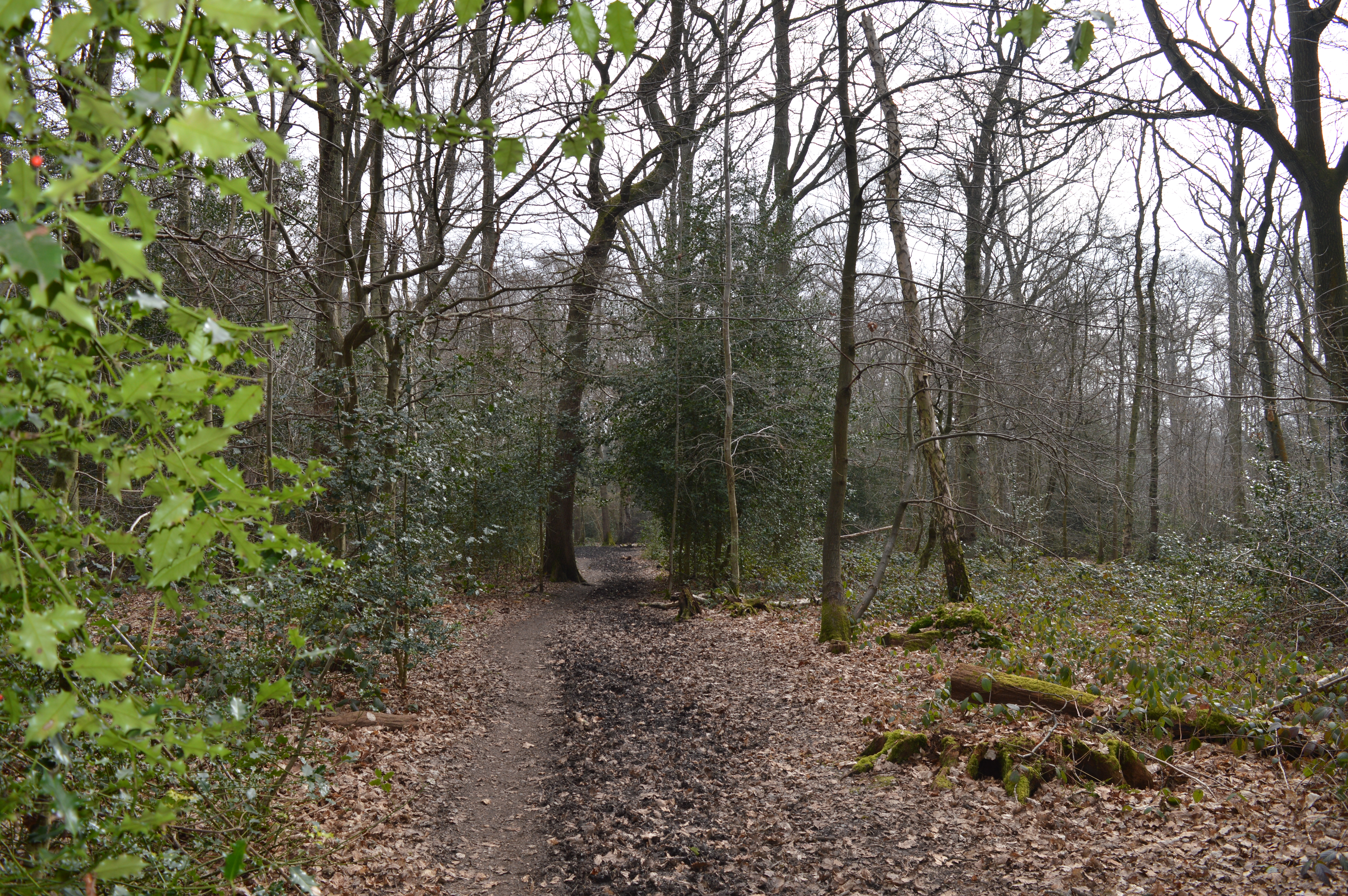
Beechen Dell is crisscrossed by several walking trails, which allow visitors to explore its idyllic setting at their own pace. The trails wind through the valley, offering stunning views of the surrounding countryside and providing ample opportunities for peaceful walks and picnics.
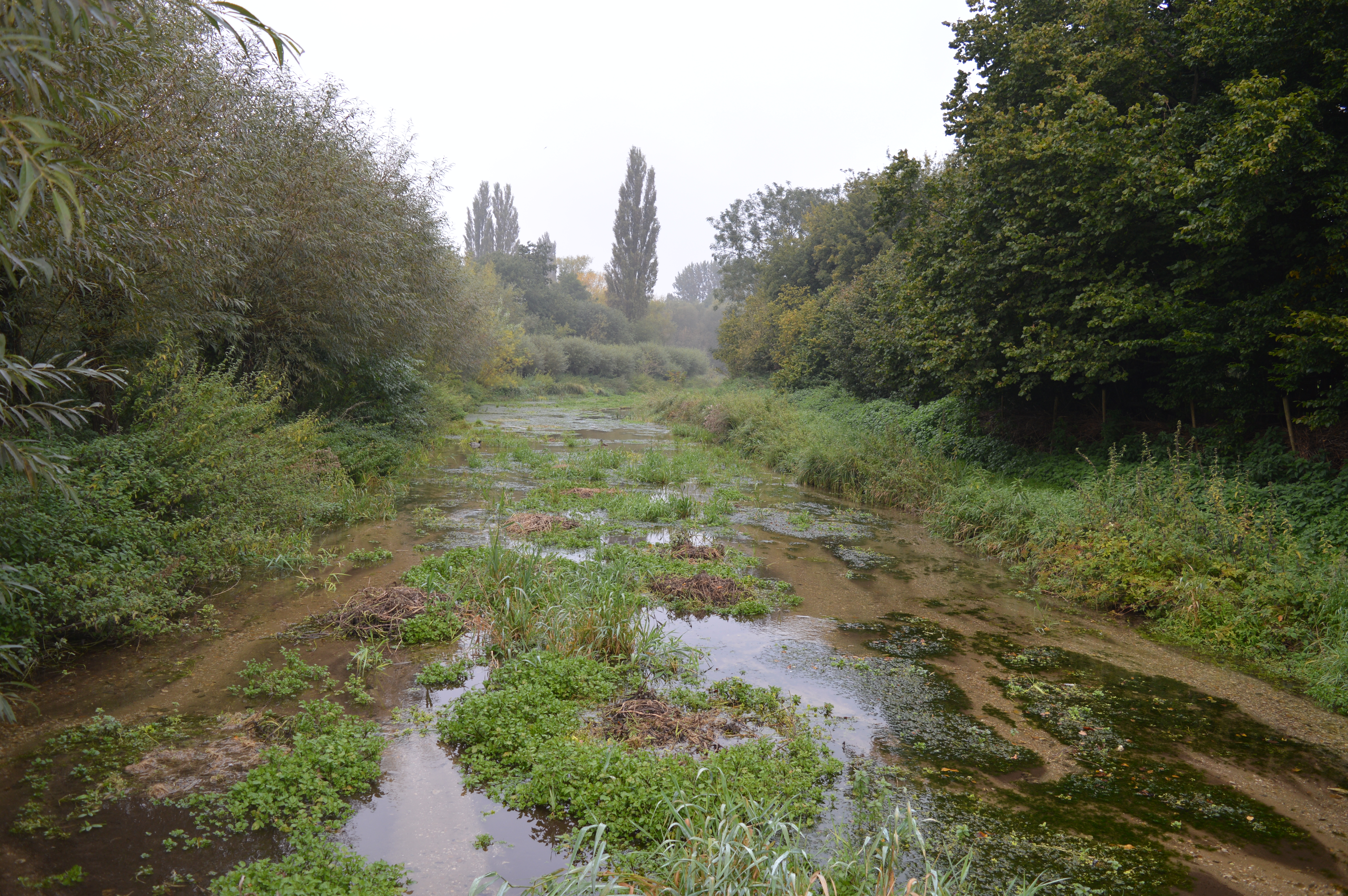
The valley is also home to a small stream that meanders through its center, adding to its charm and providing a soothing soundtrack for visitors. The sound of running water creates a peaceful atmosphere, making Beechen Dell an ideal place for relaxation and tranquility.
The area is well-maintained, with benches strategically placed at scenic spots, providing visitors with a place to sit and soak in the beauty of the surroundings. Additionally, there are information boards that educate visitors about the flora and fauna found in the valley, enhancing the overall experience.
Overall, Beechen Dell in Hertfordshire is a hidden gem that offers a respite from the hustle and bustle of everyday life. With its natural beauty, abundant wildlife, and peaceful atmosphere, it is a haven for those seeking a connection with nature.
If you have any feedback on the listing, please let us know in the comments section below.
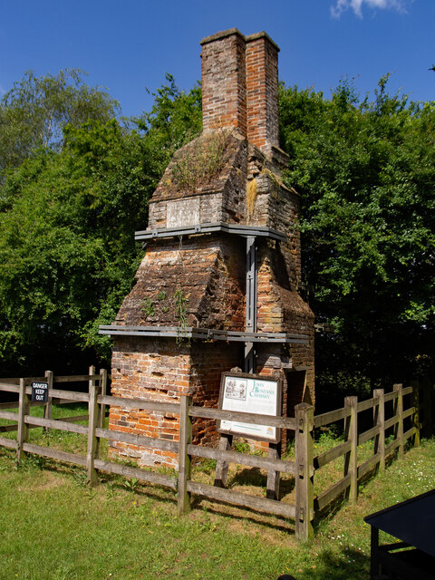
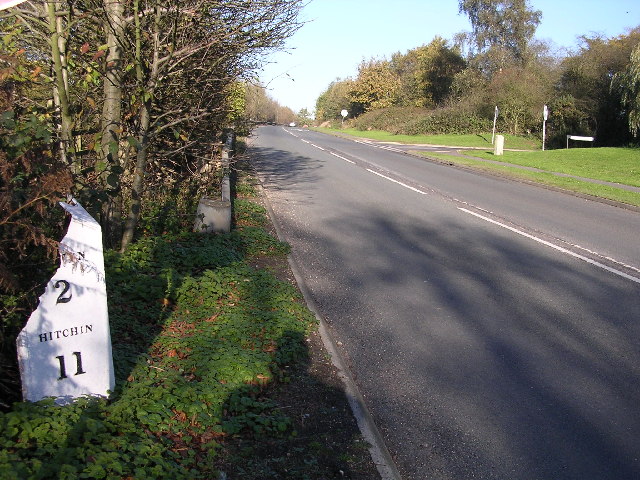
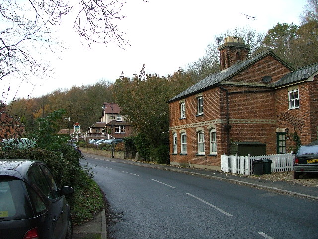
Beechen Dell Images
Images are sourced within 2km of 51.800254/-0.24933766 or Grid Reference TL2012. Thanks to Geograph Open Source API. All images are credited.


Beechen Dell is located at Grid Ref: TL2012 (Lat: 51.800254, Lng: -0.24933766)
Administrative County: Hertfordshire
District: Welwyn Hatfield
Police Authority: Hertfordshire
What 3 Words
///papers.garden.fled. Near Welwyn Garden City, Hertfordshire
Nearby Locations
Related Wikis
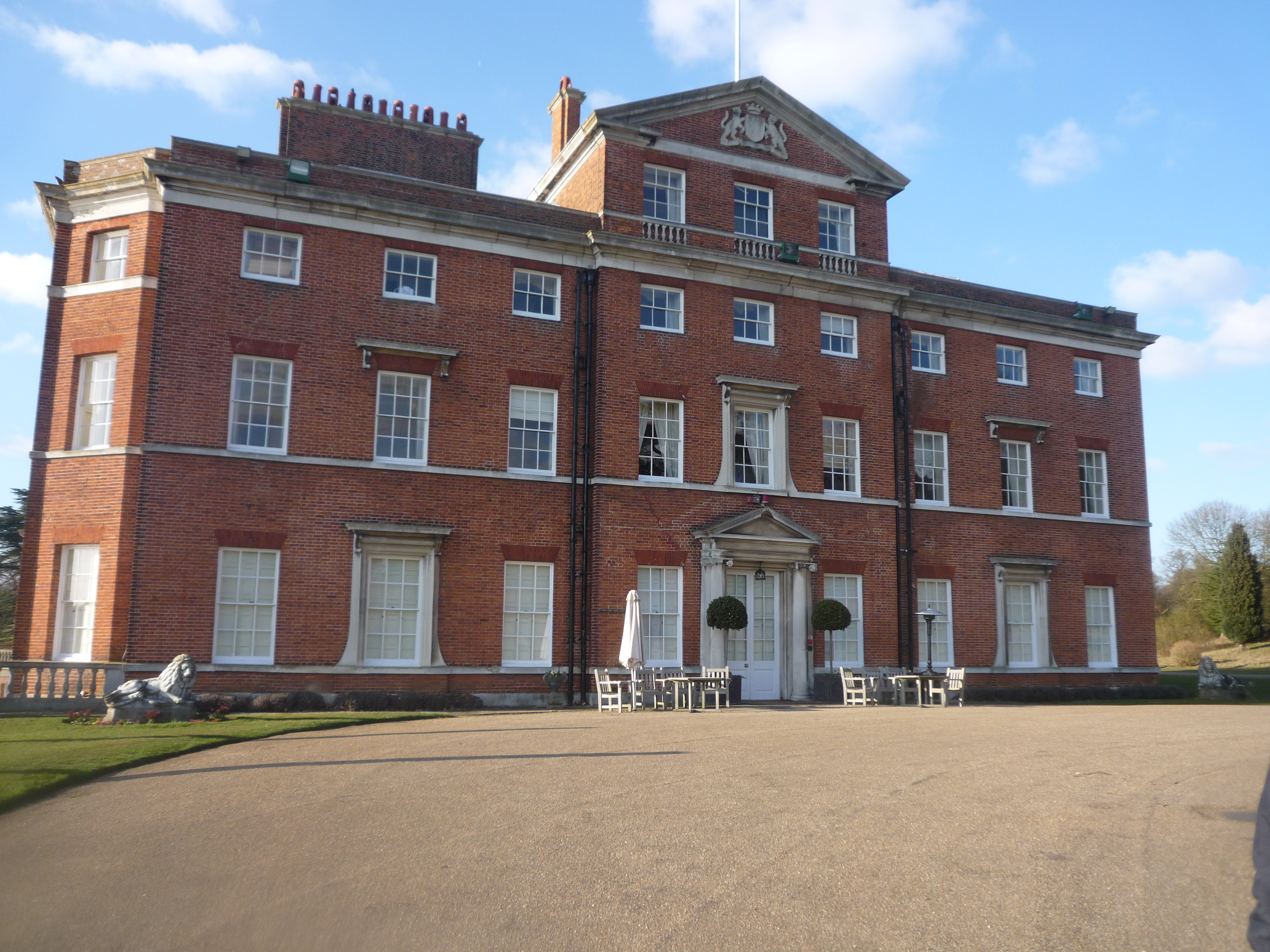
Brocket Hall
Brocket Hall is a neo-classical country house set in a large park at the western side of the urban area of Welwyn Garden City in Hertfordshire, England...
Lemsford
Lemsford is a village in Hertfordshire, England. It is located close to Welwyn Garden City and Hatfield and is in the Hatfield Villages Ward of the Borough...
Lemsford Springs
Lemsford Springs is a 4 hectare nature reserve in Lemsford, Hertfordshire, England. It is managed by the Herts and Middlesex Wildlife Trust, which purchased...

Ayot Green
Ayot Green is a hamlet in Hertfordshire, England and is near the A1(M) Motorway, close to Welwyn Garden City. It is a typical traditional English village...
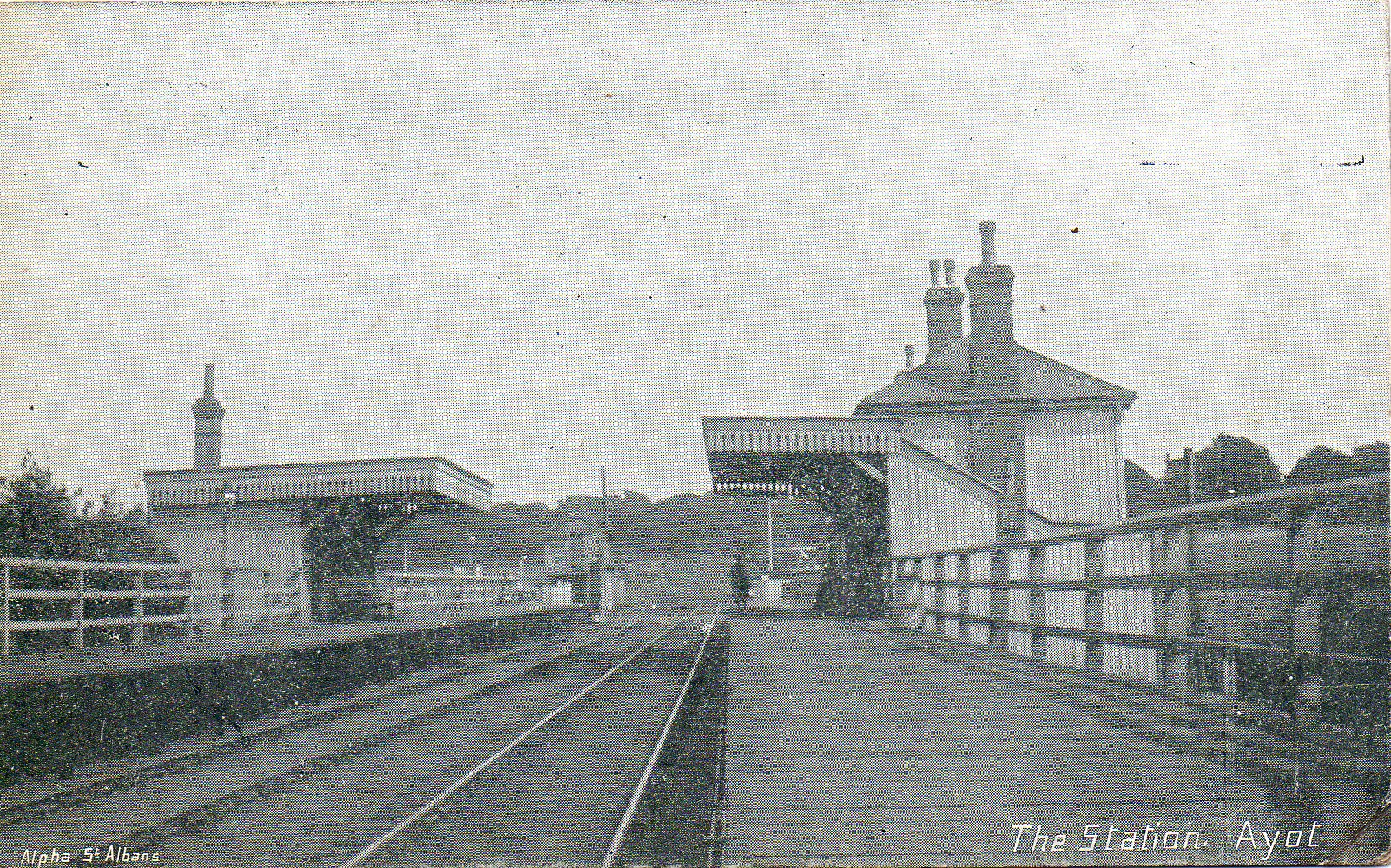
Ayot railway station
Ayot was a railway station serving Ayot St Peter near Welwyn Garden City in Hertfordshire, England. It was on the branch line to Dunstable. == History... ==

Stanborough School, Welwyn Garden City
Stanborough School is a secondary academy school located in Welwyn Garden City, Hertfordshire, England. Like most secondary schools, it has a sixth form...
Barn Theatre, Welwyn Garden City
The Barn Theatre, located in Welwyn Garden City, England is a Grade II listed, 17th-century timber-framed barn converted to a community theatre in 1931...
Sherrardspark Wood
Sherrardspark Wood (grid reference TL230139) is a 74.9 hectares (185 acres) biological site of Special Scientific Interest in Welwyn Garden City, Hertfordshire...
Nearby Amenities
Located within 500m of 51.800254,-0.24933766Have you been to Beechen Dell?
Leave your review of Beechen Dell below (or comments, questions and feedback).