Lamb's Grove
Wood, Forest in Hertfordshire Welwyn Hatfield
England
Lamb's Grove

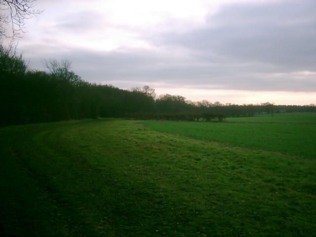
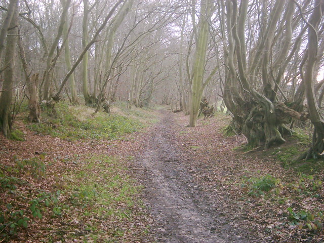
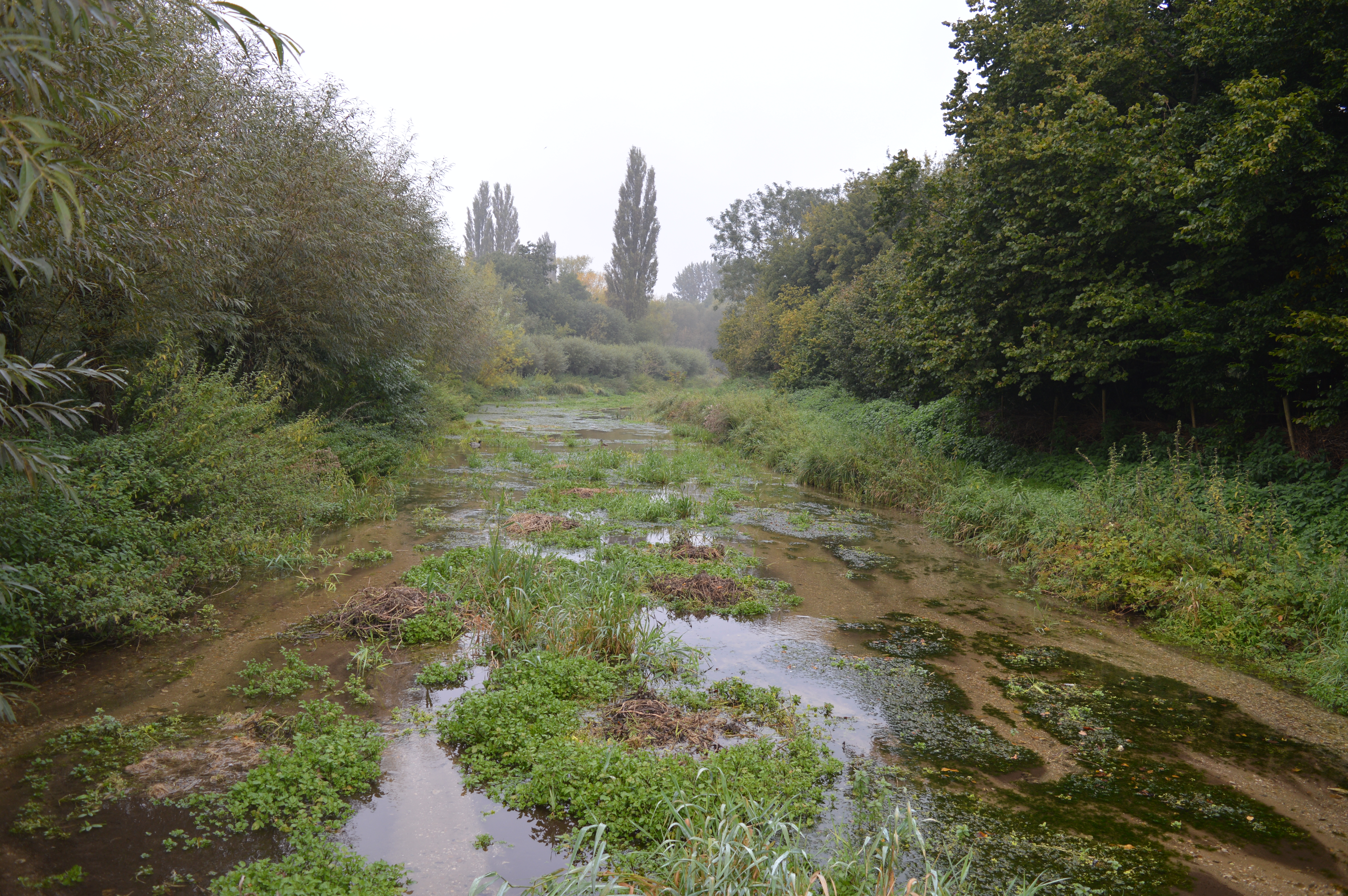
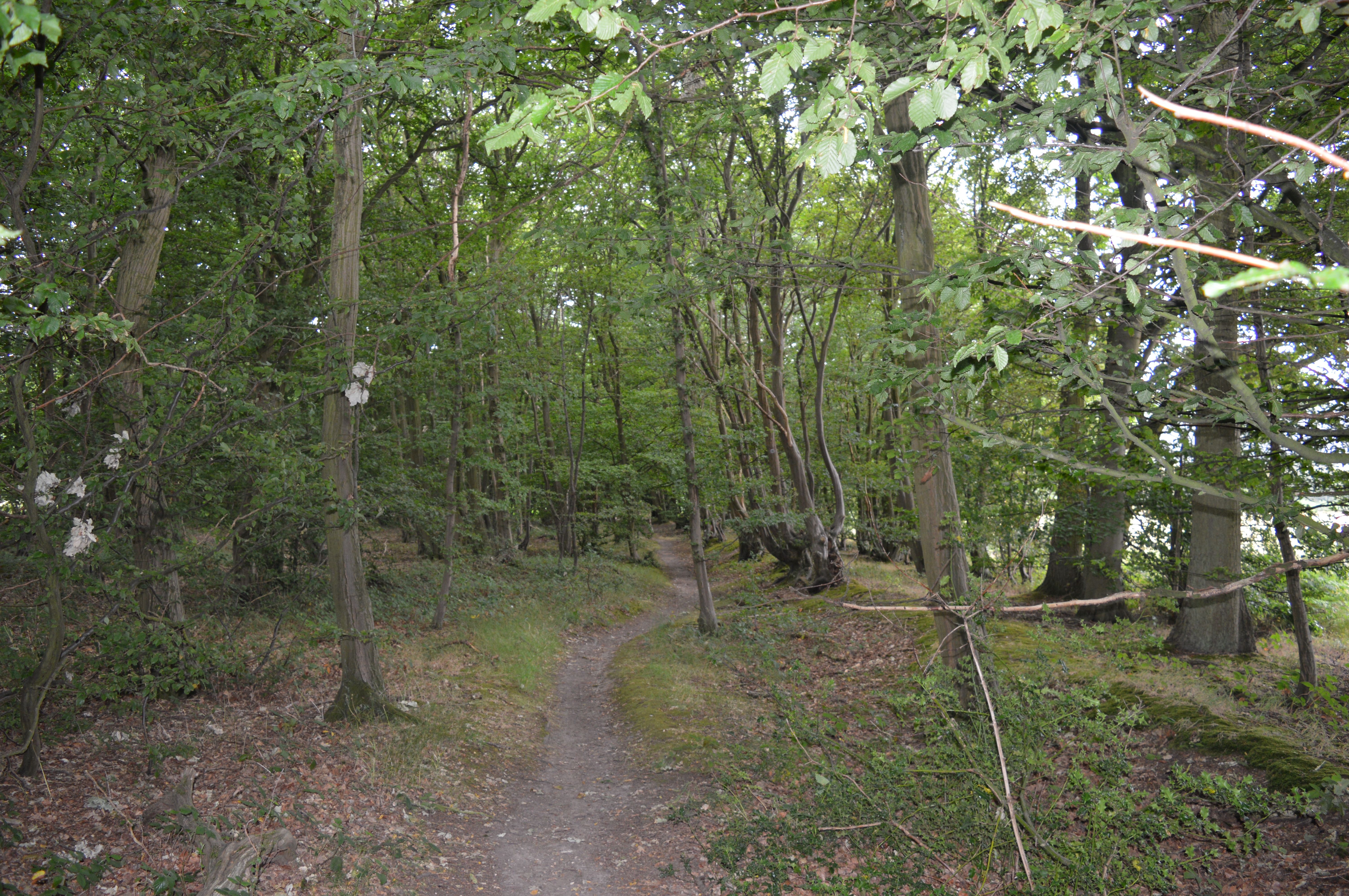
Lamb's Grove, located in Hertfordshire, is a picturesque woodland area renowned for its natural beauty and tranquil atmosphere. Situated in the heart of the county, Lamb's Grove is surrounded by lush greenery and is known for its dense forest, making it a popular destination for nature enthusiasts and hikers.
The woodland in Lamb's Grove is predominantly made up of a variety of trees, including oak, beech, and birch, which create a diverse and vibrant ecosystem. The forest floor is covered in a carpet of moss, ferns, and wildflowers, adding to the enchanting ambiance of the area.
Lamb's Grove is home to a wide range of wildlife, including deer, foxes, and numerous species of birds. Birdwatchers often visit the area to spot rare and migratory birds that make their home in the woodland. In springtime, the forest comes alive with the sounds of birdsong and the vibrant colors of blooming flowers.
The Grove is a popular destination for outdoor activities such as walking, jogging, and cycling, with several well-maintained trails and paths that wind through the forest. Visitors can also find designated picnic areas and benches scattered throughout the woodland, providing an ideal spot to relax and enjoy the serene surroundings.
The community of Lamb's Grove is proud of its natural heritage and has taken measures to protect the woodland from excessive development, ensuring its preservation for future generations. The area is well-maintained, with regular conservation efforts and initiatives to maintain the ecological balance of the forest.
Overall, Lamb's Grove in Hertfordshire is a haven for nature lovers and outdoor enthusiasts, offering a peaceful retreat from the hustle and bustle of city life. Its scenic beauty, diverse wildlife, and recreational opportunities make it a cherished destination for locals and visitors alike.
If you have any feedback on the listing, please let us know in the comments section below.
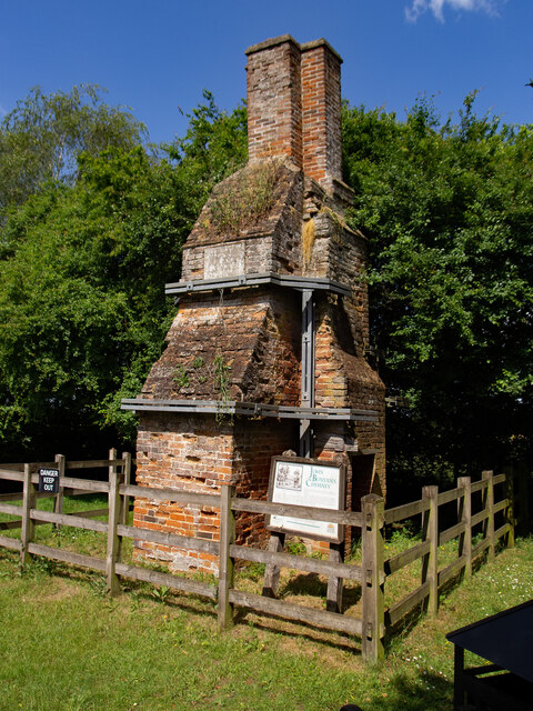
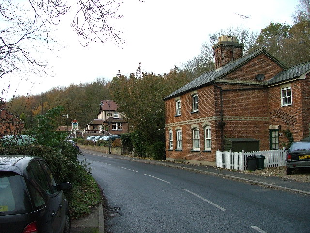
Lamb's Grove Images
Images are sourced within 2km of 51.800317/-0.25902339 or Grid Reference TL2012. Thanks to Geograph Open Source API. All images are credited.


Lamb's Grove is located at Grid Ref: TL2012 (Lat: 51.800317, Lng: -0.25902339)
Administrative County: Hertfordshire
District: Welwyn Hatfield
Police Authority: Hertfordshire
What 3 Words
///debate.salon.lost. Near Wheathampstead, Hertfordshire
Nearby Locations
Related Wikis
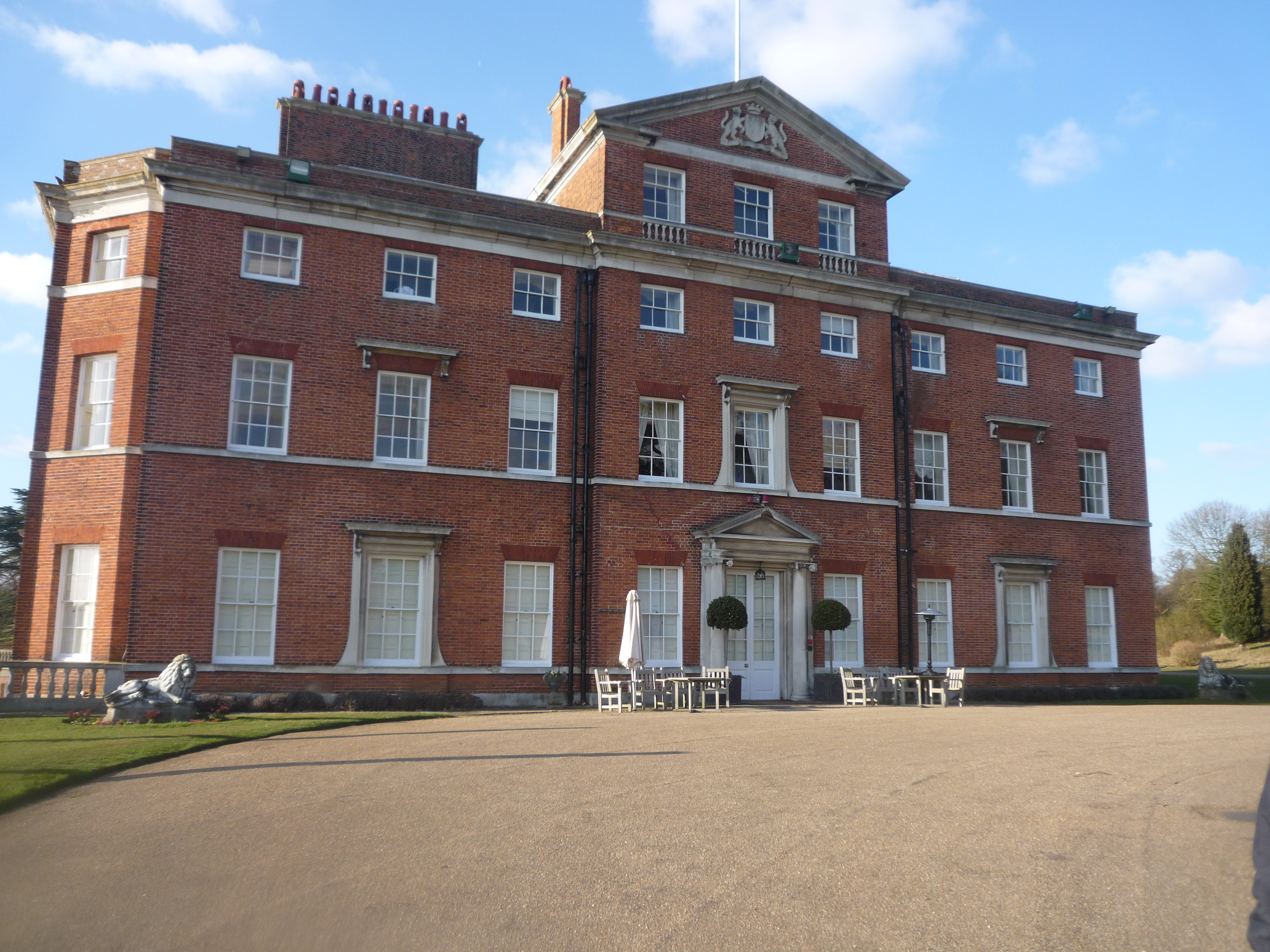
Brocket Hall
Brocket Hall is a neo-classical country house set in a large park at the western side of the urban area of Welwyn Garden City in Hertfordshire, England...
Lemsford
Lemsford is a village in Hertfordshire, England. It is located close to Welwyn Garden City and Hatfield and is in the Hatfield Villages Ward of the Borough...

Devil's Dyke, Hertfordshire
Devil's Dyke is the remains of a prehistoric defensive ditch which lies at the east side of the village of Wheathampstead, Hertfordshire, England. It is...
Lemsford Springs
Lemsford Springs is a 4 hectare nature reserve in Lemsford, Hertfordshire, England. It is managed by the Herts and Middlesex Wildlife Trust, which purchased...

Ayot Green
Ayot Green is a hamlet in Hertfordshire, England and is near the A1(M) Motorway, close to Welwyn Garden City. It is a typical traditional English village...
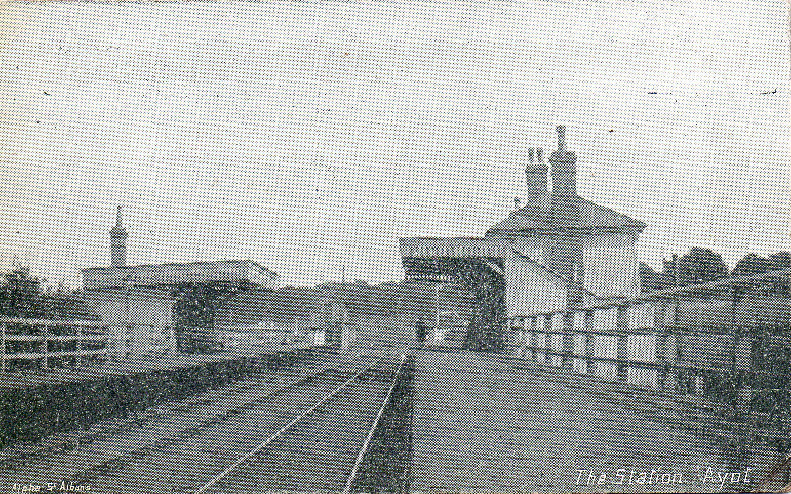
Ayot railway station
Ayot was a railway station serving Ayot St Peter near Welwyn Garden City in Hertfordshire, England. It was on the branch line to Dunstable. == History... ==

Wheathampstead
Wheathampstead is a village and civil parish in Hertfordshire, England, north of St Albans. The population of the ward at the 2001 census was 6,058. Included...
Stocking Springs Wood
Stocking Springs Wood is a 1.1-hectare (2.7-acre) nature reserve between Ayot St Lawrence and Ayot St Peter in Welwyn Hatfield district in Hertfordshire...
Nearby Amenities
Located within 500m of 51.800317,-0.25902339Have you been to Lamb's Grove?
Leave your review of Lamb's Grove below (or comments, questions and feedback).