Danefold Copse
Wood, Forest in Sussex Horsham
England
Danefold Copse

Danefold Copse, located in Sussex, England, is a picturesque wood that stretches over a vast area. This forest is renowned for its natural beauty, diverse flora, and tranquil atmosphere, making it a popular destination for nature enthusiasts and hikers alike.
The copse is mainly composed of deciduous trees like oak, beech, and ash, which provide a dense canopy that creates a cool and shaded environment beneath. The forest floor is blanketed with a vibrant assortment of wildflowers, ferns, and mosses, creating a rich tapestry of colors throughout the seasons.
Several well-marked trails wind through Danefold Copse, allowing visitors to explore the woodland at their own pace. These paths offer glimpses of the copse's wildlife, including squirrels, rabbits, and a variety of bird species. Keen-eyed visitors may even spot a deer grazing in the distance.
The copse is also home to a small stream that meanders through the trees, adding to the overall serenity of the area. The gentle babbling of the water and the rustling leaves create a soothing ambiance that further enhances the copse's natural charm.
Danefold Copse is not only a haven for nature lovers but also serves as an important ecological site. It provides a vital habitat for numerous species of plants and animals, contributing to the overall biodiversity of the region.
Whether one seeks solace in nature, wants to observe wildlife, or simply desires a peaceful stroll, Danefold Copse offers a rejuvenating experience amidst its enchanting woodland.
If you have any feedback on the listing, please let us know in the comments section below.
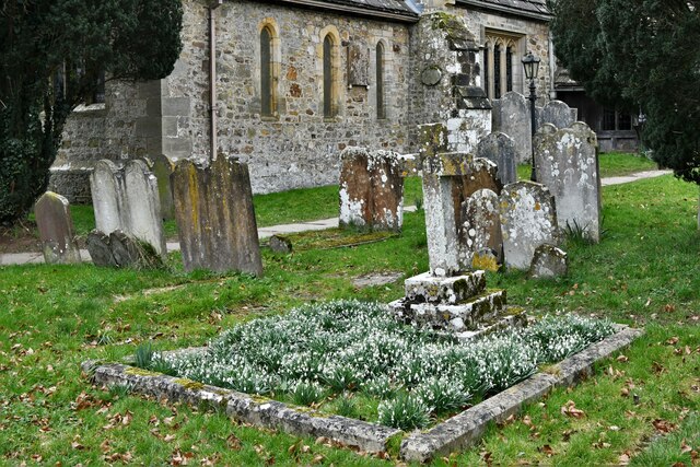
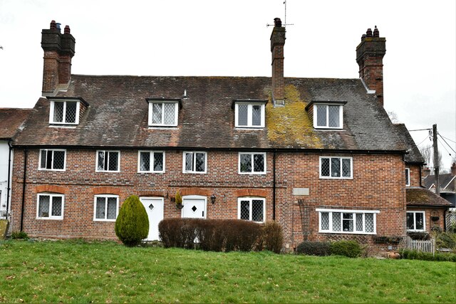
Danefold Copse Images
Images are sourced within 2km of 50.985057/-0.29957161 or Grid Reference TQ1922. Thanks to Geograph Open Source API. All images are credited.


Danefold Copse is located at Grid Ref: TQ1922 (Lat: 50.985057, Lng: -0.29957161)
Administrative County: West Sussex
District: Horsham
Police Authority: Sussex
What 3 Words
///salary.removes.variously. Near Cowfold, West Sussex
Nearby Locations
Related Wikis

West Grinstead railway station
West Grinstead was a railway station on the Steyning Line which served the village of West Grinstead. It had a goods yard with a cattle loading bay and...

Littleworth, West Sussex
Littleworth is a hamlet in the Horsham District of West Sussex, England. It lies on the Partridge Green to Maplehurst road 2.9 miles (4.7 km) north of...

St Hugh's Charterhouse
St Hugh's Charterhouse, Parkminster, is the only post-Reformation Carthusian monastery in the United Kingdom. It is located in the parish of Cowfold, West...

Shrine of Our Lady of Consolation
The Shrine of Our Lady of Consolation or Church of Our Lady of Consolation and Saint Francis is a Roman Catholic parish church in West Grinstead, in West...

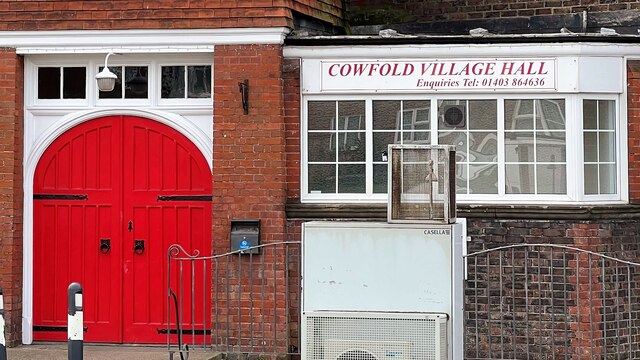
Cowfold
Cowfold is a village and civil parish between Billingshurst and Haywards Heath in the Horsham District of West Sussex, England. The village is at the intersection...

Henfield (electoral division)
Henfield is an electoral division of West Sussex in the United Kingdom and returns one member to sit on West Sussex County Council. The current County...
St Michael and All Angels Church, Partridge Green
St Michael and All Angels Church is a late nineteenth-century church in the settlement of Partridge Green in the parish of West Grinstead in West Sussex...

West Grinstead
West Grinstead is a village and civil parish in the Horsham District of West Sussex, England. It lies just off the B2135 road four miles (6.3 km) northwest...
Nearby Amenities
Located within 500m of 50.985057,-0.29957161Have you been to Danefold Copse?
Leave your review of Danefold Copse below (or comments, questions and feedback).