Furzefield Copse

Wood, Forest in Sussex Horsham

England

Furzefield Copse

Oaks, Monk's Gate (2) There are quite a number of fine old specimens in the area, perhaps relics of former parkland.
Oaks, Monk's Gate (2) Credit: Stephen Richards

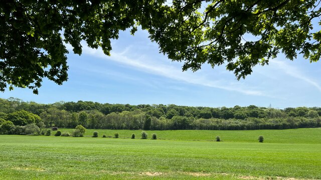
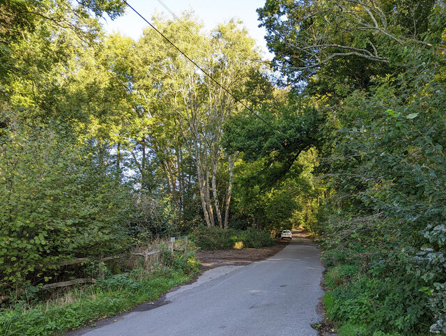
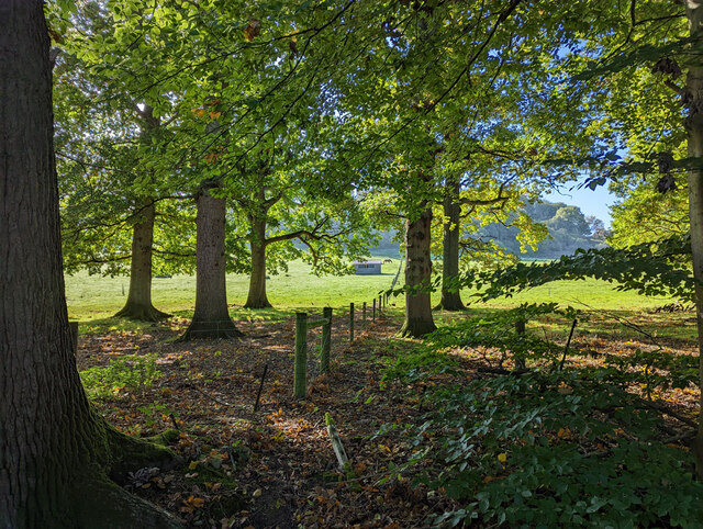
Furzefield Copse is a picturesque woodland located in Sussex, England. Covering an area of approximately 30 acres, it is known for its diverse range of trees and wildlife. The copse is predominantly made up of deciduous trees such as oak, beech, and ash, which provide a stunning display of colors during the autumn months.

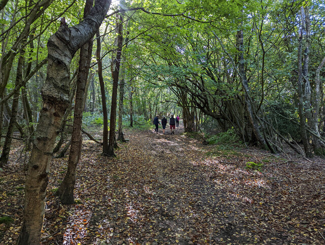
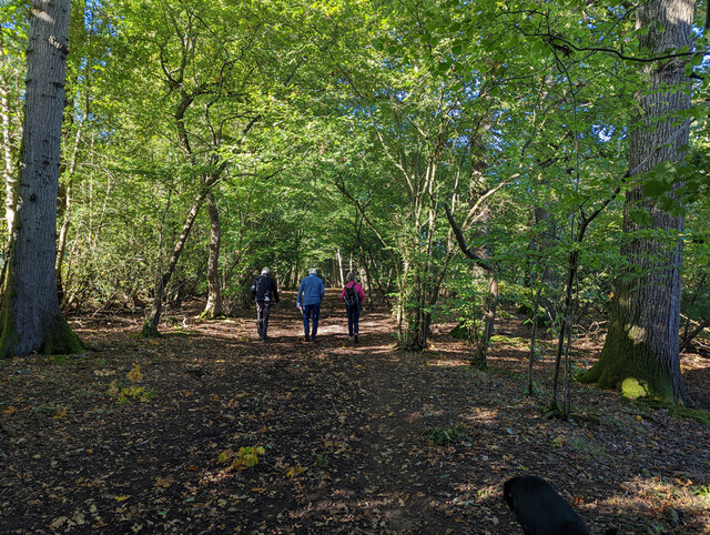
The woodland is characterized by its dense undergrowth and a carpet of bluebells that bloom in the spring, creating a vibrant and enchanting atmosphere. The copse is home to a variety of wildlife, including deer, foxes, and a wide range of bird species. Visitors to Furzefield Copse can often spot woodpeckers, owls, and various songbirds in the tree canopies.

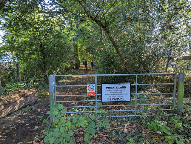
The copse is a popular destination for nature enthusiasts, hikers, and photographers, offering a tranquil escape from the hustle and bustle of everyday life. There are several marked trails that wind through the woodland, providing visitors with the opportunity to explore its beauty at their own pace.

In addition to its natural beauty, Furzefield Copse also has historical significance. It is believed to have been used as a hunting ground during medieval times, and remnants of ancient ditches and earthworks can still be seen within the copse.

Overall, Furzefield Copse is a captivating woodland that offers a serene and immersive experience for nature lovers. With its rich biodiversity and serene atmosphere, it is truly a hidden gem in the heart of Sussex.

If you have any feedback on the listing, please let us know in the comments section below.

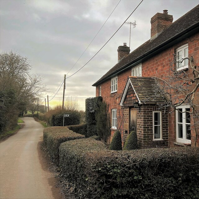
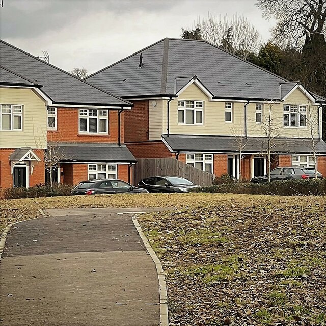
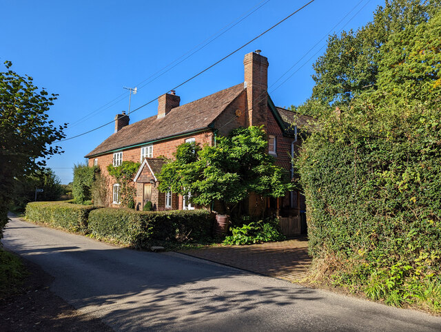
Furzefield Copse Images

Images are sourced within 2km of 51.019734/-0.29833187 or Grid Reference TQ1925. Thanks to Geograph Open Source API. All images are credited.

Oaks, Monk's Gate (2) There are quite a number of fine old specimens in the area, perhaps relics of former parkland.
Oaks, Monk's Gate (2)
There are quite a number of fine old specimens in the area, perhaps relics of former parkland.
Cottage on Newells Lane The bridleway through Lodgesale Wood starts just beyond the cottage, on the right of the lane.
Cottage on Newells Lane
The bridleway through Lodgesale Wood starts just beyond the cottage, on the right of the lane.
New houses in Coolhurst Close
View south towards High Hurst Copse This photo was taken from the aptly named Park Lane - aptly because there are a lot of places to park along here, which is helpful from a walker's point of view.
View south towards High Hurst Copse
This photo was taken from the aptly named Park Lane - aptly because there are a lot of places to park along here, which is helpful from a walker's point of view.
Iron-rich stream and drain I think this stream is called Jobscastle Gill, according to the map. This is the third photo I've taken recently of an iron-rich stream in the Sussex Weald. The previous two, however, were in Ashdown Forest - further to the east. There was an iron industry in this region from Roman times until the early 18th century.
Iron-rich stream and drain
I think this stream is called Jobscastle Gill, according to the map. This is the third photo I've taken recently of an iron-rich stream in the Sussex Weald. The previous two, however, were in Ashdown Forest - further to the east. There was an iron industry in this region from Roman times until the early 18th century.
Path through bluebell wood - near Jobscastle Gill The bluebells have finished in some places - but they were still going strong here.
Path through bluebell wood - near Jobscastle Gill
The bluebells have finished in some places - but they were still going strong here.
Hop Gardens, Newell's Lane
Newell's Lane North towards the A281, Brighton Road.
Newell's Lane
North towards the A281, Brighton Road.
Bridleway 1725, Lower Beeding From Newell's Lane towards Crabtree.
Bridleway 1725, Lower Beeding
From Newell's Lane towards Crabtree.
Woodland by bridleway 1725
Bridleway 1725 crosses Jobscastle Gill
Junction of footpath 1732 and bridleway 1726, Lower Beeding The footpath joins from the left, where the brown dog is.
Junction of footpath 1732 and bridleway 1726, Lower Beeding
The footpath joins from the left, where the brown dog is.
Jobscastle Gill Looking downstream.
Jobscastle Gill
Looking downstream.
Bridleway 1726, Lower Beeding
Fields north of Woldringfold
Start of bridleway 1726 on Burnthouse Lane
View south-west from Burnthouse Lane
Show me another place!

Furzefield Copse is located at Grid Ref: TQ1925 (Lat: 51.019734, Lng: -0.29833187)

Administrative County: West Sussex

District: Horsham

Police Authority: Sussex

What 3 Words

///protected.shakes.coconut. Near Cowfold, West Sussex

Related Wikis

Nuthurst

Nuthurst is a village and civil parish in the Horsham district of West Sussex, England. The north of the parish borders Horsham town, with Nuthurst village...

Southwater & Nuthurst (electoral division)

Southwater & Nuthurst is an electoral division of West Sussex in the United Kingdom and returns one member to sit on West Sussex County Council. The current...

Maplehurst, West Sussex

Maplehurst is a hamlet in the civil parish of Nuthurst, and the Horsham District of West Sussex, England. The hamlet is on the Copsale to Nuthurst road...

Monk's Gate

Monk's Gate is a hamlet in the civil parish of Nuthurst, in the Horsham District of West Sussex, England. It lies on the A281 road 3 miles (5 km) southeast...

Copsale

Copsale is a hamlet in the civil parish of Nuthurst, and the Horsham District of West Sussex, England. It lies on the Southwater to Maplehurst road 3.5...

Crabtree, West Sussex

Crabtree is a hamlet in the parish of Lower Beeding and in Horsham District of West Sussex, England. It lies on the A281 road 4.4 miles (7.1 km) southeast...

Leonardslee

Leonardslee is an English country house and English landscape garden and woodland garden in Lower Beeding, near Horsham, West Sussex, England. The Grade...

Lower Beeding

Lower Beeding is a village and civil parish in the Horsham District of West Sussex, England. The village lies on the B2110, B2115 and A281 roads 3.5 miles...

Nearby Amenities

Located within 500m of 51.019734,-0.29833187
Nuthurst
Place: village
Source: npe
Wikidata: Q2288849
Wikipedia: en:Nuthurst
Lat/Long: 51.0229308/-0.3008336
Stone House Farm
Naptan AtcoCode: 4400HR0831
Naptan Bearing: N
Naptan BusStopType: CUS
Naptan CommonName: Stone House Farm
Naptan Indicator: adj
Naptan Landmark: Hail & Ride
Naptan NaptanCode: wsxdwmjp
Naptan Street: Nuthurst Road
Naptan Verified: no
Source: naptan_import
Lat/Long: 51.0184105/-0.3030459
Stone House Farm
Naptan AtcoCode: 4400HR0832
Naptan Bearing: S
Naptan BusStopType: CUS
Naptan CommonName: Stone House Farm
Naptan Indicator: opp
Naptan Landmark: Hail & Ride
Naptan NaptanCode: wsxdwmjt
Naptan Street: Nuthurst Road
Naptan Verified: no
Source: naptan_import
Lat/Long: 51.018417/-0.3028745
Foxhollow Annexe
Addr City: Nuthurst
Addr Housename: Foxhollow Annexe
Addr Postcode: RH13 6LH
Addr Street: Nuthurst Street
Lat/Long: 51.0234788/-0.3021023
LIttle Micklepage Leigh
Addr City: Nuthurst
Addr Housename: LIttle Micklepage Leigh
Addr Postcode: RH13 6RG
Addr Street: Nuthurst Street
Lat/Long: 51.015602/-0.3003908
Recycling
Recycling Point
Lat/Long: 51.0229913/-0.3006042
Telephone
Booth: K6
Covered: booth
Heritage: yes
Listed Status: Grade II
Wikidata: Q26337515
Lat/Long: 51.0235951/-0.3005857
Cooks Farm
Place: isolated_dwelling
Lat/Long: 51.023711/-0.2977536
Nutwood Farm
Place: farm
Lat/Long: 51.0207648/-0.3015288
Micklepage Farm
Place: isolated_dwelling
Lat/Long: 51.015911/-0.3009346
Stone House Farm
Place: farm
Lat/Long: 51.0172388/-0.3038325
Woodlands Farm
Place: isolated_dwelling
Lat/Long: 51.0191482/-0.3015158
Post Box
Collection Times: Mo-Fr 17:00; Sa 07:45
Operator: Royal Mail
Operator Wikidata: Q638098
Post Box Mounting: wooden_post
Post Box Type: lamp
Ref: RH13 121
Royal Cypher: EIIR
Royal Cypher Wikidata: Q33102113
Lat/Long: 51.0235827/-0.3005871
Bench
Lat/Long: 51.0226713/-0.3019556
Bench
Lat/Long: 51.022657/-0.3018634
Bench
Lat/Long: 51.0225541/-0.3019497
Bench
Lat/Long: 51.0225192/-0.3018618
The data included in this document is from www.openstreetmap.org. The data is made available under ODbL.

Have you been to Furzefield Copse?

Leave your review of Furzefield Copse below (or comments, questions and feedback).