Boyd's Wood
Wood, Forest in Sussex Horsham
England
Boyd's Wood

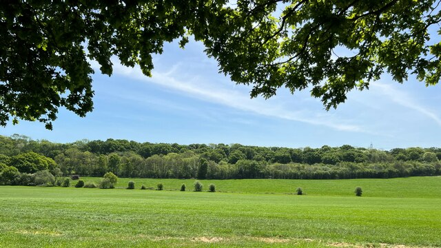
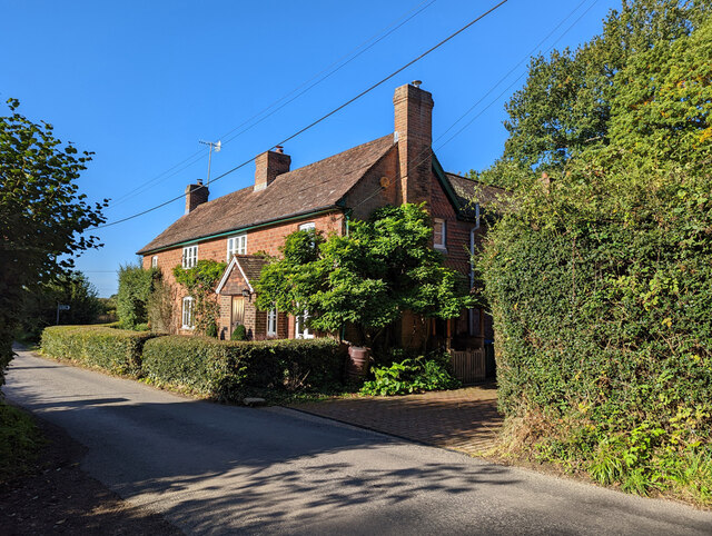
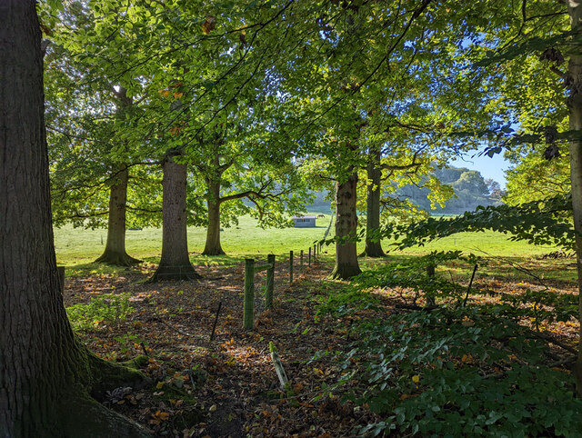
Boyd's Wood is a serene and picturesque woodland located in the county of Sussex in southern England. Spread over an area of approximately 50 acres, this enchanting forest is known for its rich biodiversity and tranquility. The wood is situated near the village of Boyd's Hill, which is nestled within the beautiful South Downs National Park.
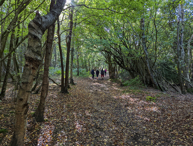
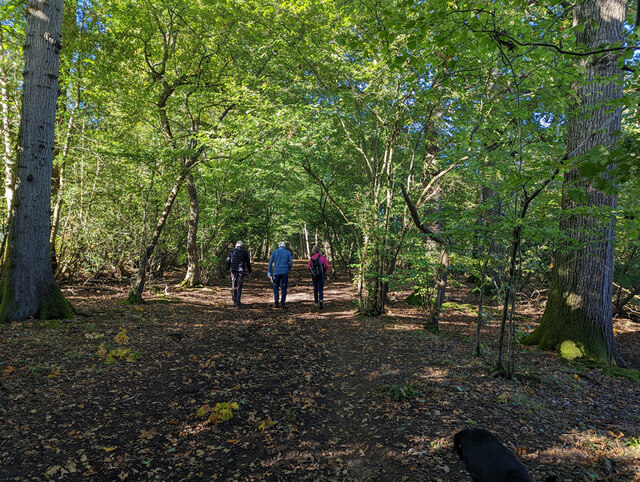
Boyd's Wood is primarily composed of a mixture of deciduous and evergreen trees, such as oak, beech, birch, and pine. These trees form a dense canopy, providing shade and creating a sense of seclusion within the wood. The forest floor is adorned with a vibrant carpet of wildflowers, including bluebells, primroses, and wood anemones during the springtime, attracting nature enthusiasts and photographers alike.
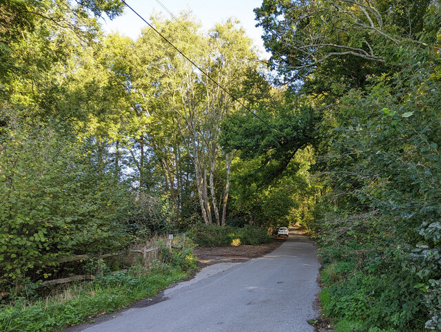
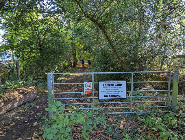
The wood is crisscrossed by a network of well-maintained footpaths, allowing visitors to explore the peaceful surroundings at their leisure. These paths lead to various points of interest, including a small pond where numerous species of birds and insects can be observed. The sound of birdsong fills the air, adding to the tranquil ambiance of the wood.
Boyd's Wood is a haven for wildlife, hosting a diverse range of species. It is home to squirrels, foxes, rabbits, and a variety of birds, including woodpeckers, owls, and thrushes. Nature lovers may also spot the occasional deer or badger, as the wood provides a safe habitat for these creatures.
Whether one seeks a peaceful stroll, a spot of birdwatching, or a chance to immerse themselves in nature's beauty, Boyd's Wood offers a delightful escape from the hustle and bustle of everyday life.
If you have any feedback on the listing, please let us know in the comments section below.
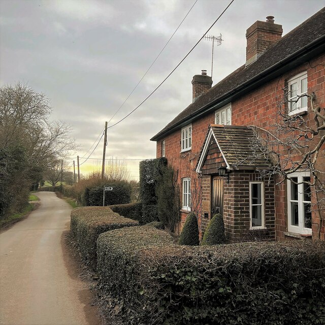
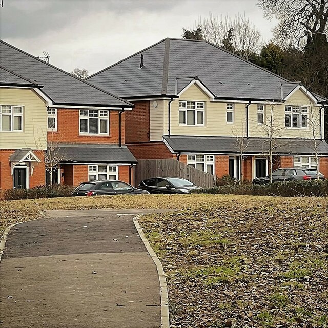
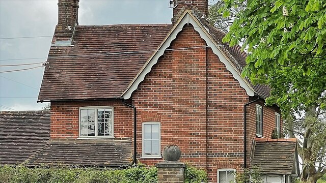
Boyd's Wood Images
Images are sourced within 2km of 51.019152/-0.29353401 or Grid Reference TQ1925. Thanks to Geograph Open Source API. All images are credited.


Boyd's Wood is located at Grid Ref: TQ1925 (Lat: 51.019152, Lng: -0.29353401)
Administrative County: West Sussex
District: Horsham
Police Authority: Sussex
What 3 Words
///liberated.inherits.september. Near Cowfold, West Sussex
Nearby Locations
Related Wikis

Nuthurst
Nuthurst is a village and civil parish in the Horsham district of West Sussex, England. The north of the parish borders Horsham town, with Nuthurst village...

Southwater & Nuthurst (electoral division)
Southwater & Nuthurst is an electoral division of West Sussex in the United Kingdom and returns one member to sit on West Sussex County Council. The current...

Maplehurst, West Sussex
Maplehurst is a hamlet in the civil parish of Nuthurst, and the Horsham District of West Sussex, England. The hamlet is on the Copsale to Nuthurst road...

Monk's Gate
Monk's Gate is a hamlet in the civil parish of Nuthurst, in the Horsham District of West Sussex, England. It lies on the A281 road 3 miles (5 km) southeast...

Crabtree, West Sussex
Crabtree is a hamlet in the parish of Lower Beeding and in Horsham District of West Sussex, England. It lies on the A281 road 4.4 miles (7.1 km) southeast...

Leonardslee
Leonardslee is an English country house and English landscape garden and woodland garden in Lower Beeding, near Horsham, West Sussex, England. The Grade...

Lower Beeding
Lower Beeding is a village and civil parish in the Horsham District of West Sussex, England. The village lies on the B2110, B2115 and A281 roads 3.5 miles...

Newells Preparatory School
Newells Preparatory School came to Lower Beeding, Sussex, in 1946. It has been at Handcross and known as Handcross Park School since 1968. It merged with...
Related Videos

#flowers #picture #travel #london
Leonardslee Gardens & Lakes.

Looking for a tent
Main corridor walkthrough.
Nearby Amenities
Located within 500m of 51.019152,-0.29353401Have you been to Boyd's Wood?
Leave your review of Boyd's Wood below (or comments, questions and feedback).