Scratching Grove

Wood, Forest in Hertfordshire St. Albans

England

Scratching Grove

View from Bride Hall Lane, Ayot St Lawrence The view is towards Brimstone Wood.
View from Bride Hall Lane, Ayot St Lawrence Credit: Humphrey Bolton

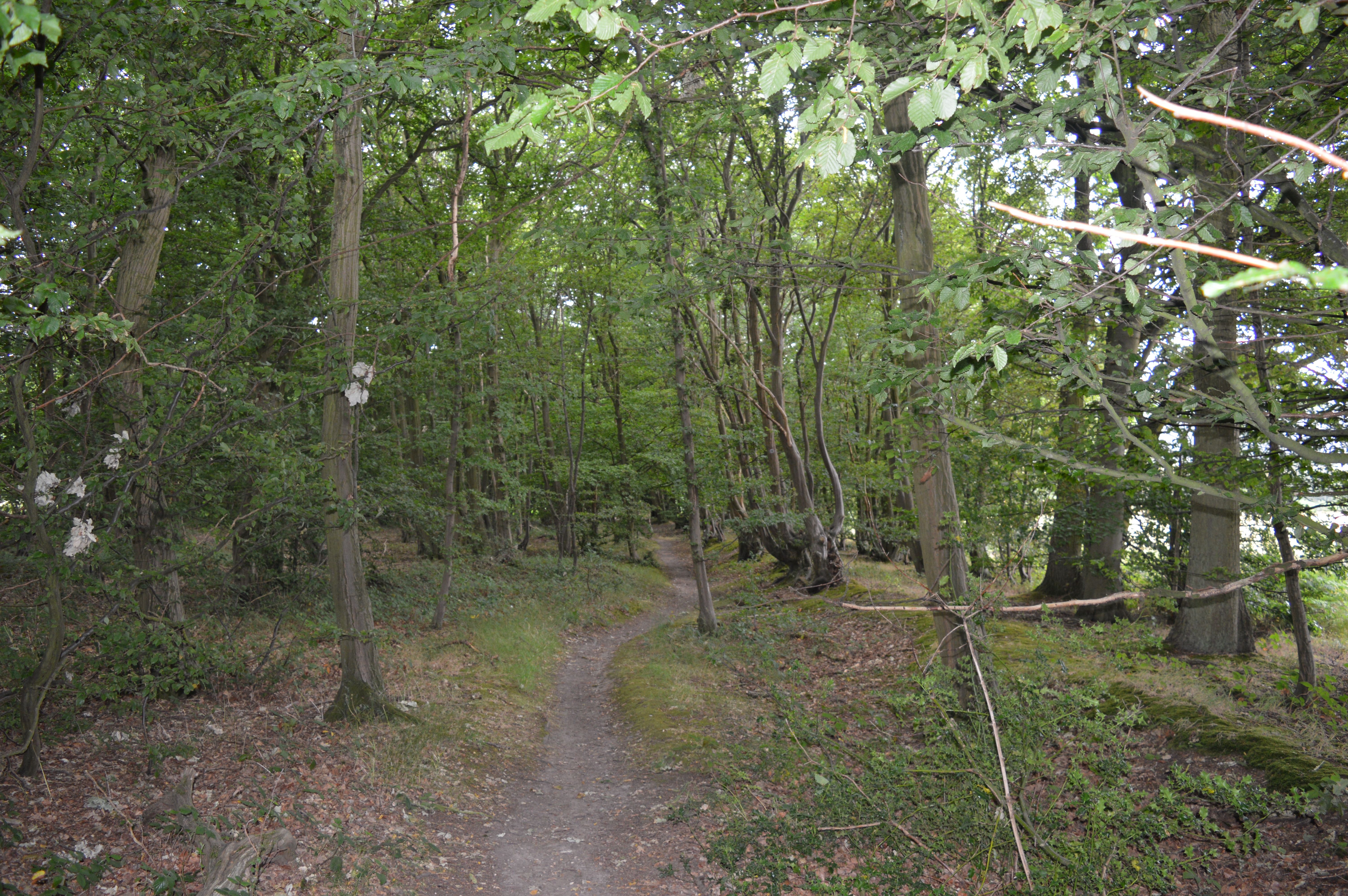
Scratching Grove is a charming woodland located in Hertfordshire, England. Spanning an area of approximately 100 acres, this beautiful forest is a popular destination for nature enthusiasts and outdoor adventurers. The grove gets its name from the scratching sound made by the branches of the trees when the wind blows through them.

The forest is predominantly composed of deciduous trees such as oak, beech, and maple, creating a picturesque landscape that transforms with the changing seasons. The dense canopy formed by the trees provides a cool and shaded environment, making it an ideal spot for picnics or leisurely walks on a sunny day.

The forest floor is covered with a rich carpet of fallen leaves, creating a rustling sound underfoot. This natural cushioning also helps to maintain the soil moisture and provide habitat for various woodland creatures. In spring, the forest comes alive with a burst of vibrant colors as wildflowers like bluebells and primroses bloom, attracting a myriad of insects and birds.

Scratching Grove is home to a diverse array of wildlife, including deer, foxes, squirrels, and numerous bird species. Birdwatchers often flock to the forest to catch a glimpse of rare species like the Eurasian sparrowhawk and the great spotted woodpecker.

Visitors can explore the forest through a network of well-maintained trails, allowing them to immerse themselves in the tranquil and serene atmosphere. The grove is also equipped with picnic areas, benches, and viewpoints, providing ample opportunities to relax and enjoy the natural surroundings.

Overall, Scratching Grove offers a peaceful retreat for those seeking solace in nature, with its stunning woodland scenery, abundant wildlife, and tranquil ambiance.

If you have any feedback on the listing, please let us know in the comments section below.

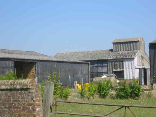
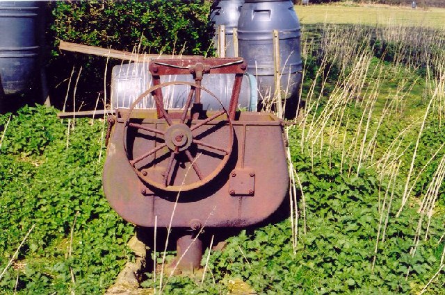
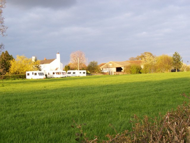
Scratching Grove Images

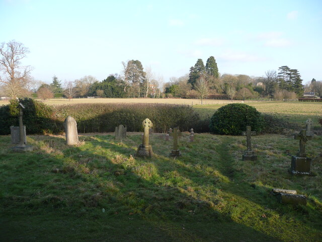
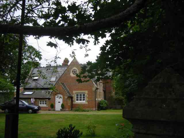
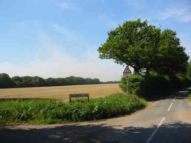
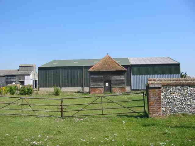
Images are sourced within 2km of 51.821394/-0.26326048 or Grid Reference TL1915. Thanks to Geograph Open Source API. All images are credited.

View from Bride Hall Lane, Ayot St Lawrence The view is towards Brimstone Wood.
View from Bride Hall Lane, Ayot St Lawrence
The view is towards Brimstone Wood.
Ayot Lodge, Ayot St Lawrence This mid-19C house is listed, Grade II, and was the lodge for Ayot House. It is at the entrance to Bride Hall Lane, which is a public bridleway to Tanyard Lane. The first part of the lane is the driveway to Ayot House and The Manor House.
Ayot Lodge, Ayot St Lawrence
This mid-19C house is listed, Grade II, and was the lodge for Ayot House. It is at the entrance to Bride Hall Lane, which is a public bridleway to Tanyard Lane. The first part of the lane is the driveway to Ayot House and The Manor House.
View of Ayot House from the church, Ayot St Lawrence The church was designed as an eye-catcher from the house.
View of Ayot House from the church, Ayot St Lawrence
The church was designed as an eye-catcher from the house.
Churchyard and view, Ayot St Lawrence
Waterend Looking North from TL204136 to the ford at Waterend on the River Lea, West of Welwyn Garden City. It's dry, but the water only has to rise a foot or so to flood the road - hence the little footbridge so people can cross without getting their feet wet.
Waterend
Looking North from TL204136 to the ford at Waterend on the River Lea, West of Welwyn Garden City. It's dry, but the water only has to rise a foot or so to flood the road - hence the little footbridge so people can cross without getting their feet wet.
Waterend house The large house just North of the ford (TL204137)
Waterend house
The large house just North of the ford (TL204137)
Greenway bridge Looking South to a bridge at TL209145 which carries the Ayot Greenway - a length of old railway line converted into cycle path and bridleway, covering most of the way from Wheathampstead to Welwyn Garden City.
Greenway bridge
Looking South to a bridge at TL209145 which carries the Ayot Greenway - a length of old railway line converted into cycle path and bridleway, covering most of the way from Wheathampstead to Welwyn Garden City.
Ayot St Peter This building is next door to the church. Looks like it was the school but is now a house
Ayot St Peter
This building is next door to the church. Looks like it was the school but is now a house
Road sign to Hill Farm Lane The area was lacking in tangible elements being woods and open fields.
Road sign to Hill Farm Lane
The area was lacking in tangible elements being woods and open fields.
A strange structure at Hill Farm I wonder if it covers a well
A strange structure at Hill Farm
I wonder if it covers a well
More farm buildings at Hill Farm Interesting to see straw bales packed into a building
More farm buildings at Hill Farm
Interesting to see straw bales packed into a building
River from Waterend Ford View of the River Lea taken from Waterend Ford looking South-East
River from Waterend Ford
View of the River Lea taken from Waterend Ford looking South-East
Wellhead This is the head mechanism for a well. Largely complete but the cover is missing. Locally made and originally driven by a separate (steam traction?) engine, possibly as a water source for a steam plough? Located near the top of a hill just south of Threegroves Wood. There is a concrete structure about two metres high, possibly for a water tank. TL203148
Wellhead
This is the head mechanism for a well. Largely complete but the cover is missing. Locally made and originally driven by a separate (steam traction?) engine, possibly as a water source for a steam plough? Located near the top of a hill just south of Threegroves Wood. There is a concrete structure about two metres high, possibly for a water tank. TL203148
Ryefield Farm Some of the Ryefield Farm buildings, viewed from the track which approaches from the west.
Ryefield Farm
Some of the Ryefield Farm buildings, viewed from the track which approaches from the west.
Stockings Spring Woods Off Codicote Road, Wheathampstead, nestling amongst the wooded estates of central Hertfordshire, this small wood is a beautiful example of traditional coppice management and its value to wildlife. 
Coppiced hornbeam woodlands were once typical of Hertfordshire. At Stocking Springs Wood gnarled and twisted trees, previously coppiced, throw a dense shade.
Stockings Spring Woods
Off Codicote Road, Wheathampstead, nestling amongst the wooded estates of central Hertfordshire, this small wood is a beautiful example of traditional coppice management and its value to wildlife. Coppiced hornbeam woodlands were once typical of Hertfordshire. At Stocking Springs Wood gnarled and twisted trees, previously coppiced, throw a dense shade.
Sunset over The Ayots
Public bridleway, leading to Waterend Lane
Water End Farm House, Sandridge/Wheathampstead Water End was originally part of the Manor and Parish of Sandridge, but was closer to Ayot St Peter and is now part of the Parish of Wheathampstead.
The house was built in about 1610 by Sir John Jennings, although the large barn on the site (now moved to St Albans <span class="nowrap"><a title="http://www.clickonhertfordshire.co.uk/waterend.htm" rel="nofollow ugc noopener" href="http://www.clickonhertfordshire.co.uk/waterend.htm">Link</a><img style="margin-left:2px;" alt="External link" title="External link - shift click to open in new window" src="https://s1.geograph.org.uk/img/external.png" width="10" height="10"/></span> ) suggests there was a farm here before that. In 1660 Sarah Jennings was born here, and later married John Churchill – and as a result of her husband's successful career moved into a newly built and much more impressive residence. Can you guess where that was before clicking on the <span class="nowrap"><a title="http://www.blenheimpalace.com/" rel="nofollow ugc noopener" href="http://www.blenheimpalace.com/">Link</a><img style="margin-left:2px;" alt="External link" title="External link - shift click to open in new window" src="https://s1.geograph.org.uk/img/external.png" width="10" height="10"/></span> ?
See <span class="nowrap"><a title="http://www.hertfordshire-genealogy.co.uk/data/places/places-s/sandridge-water-end.htm" rel="nofollow ugc noopener" href="http://www.hertfordshire-genealogy.co.uk/data/places/places-s/sandridge-water-end.htm">Link</a><img style="margin-left:2px;" alt="External link" title="External link - shift click to open in new window" src="https://s1.geograph.org.uk/img/external.png" width="10" height="10"/></span>  for information on the farm in the 19th century – including some earlier pictures.
Water End Farm House, Sandridge/Wheathampstead
Water End was originally part of the Manor and Parish of Sandridge, but was closer to Ayot St Peter and is now part of the Parish of Wheathampstead. The house was built in about 1610 by Sir John Jennings, although the large barn on the site (now moved to St Albans LinkExternal link ) suggests there was a farm here before that. In 1660 Sarah Jennings was born here, and later married John Churchill – and as a result of her husband's successful career moved into a newly built and much more impressive residence. Can you guess where that was before clicking on the LinkExternal link ? See LinkExternal link for information on the farm in the 19th century – including some earlier pictures.
Show me another place!

Scratching Grove is located at Grid Ref: TL1915 (Lat: 51.821394, Lng: -0.26326048)

Administrative County: Hertfordshire

District: St. Albans

Police Authority: Hertfordshire

What 3 Words

///finds.ties.list. Near Wheathampstead, Hertfordshire

Related Wikis

Stocking Springs Wood

Stocking Springs Wood is a 1.1-hectare (2.7-acre) nature reserve between Ayot St Lawrence and Ayot St Peter in Welwyn Hatfield district in Hertfordshire...

Ayot St Lawrence

Ayot St Lawrence is a small English village and civil parish in Hertfordshire, two miles (three kilometres) west of Welwyn. There are several other Ayots...

Shaw's Corner

Shaw's Corner was the primary residence of the renowned Irish playwright George Bernard Shaw; it is now a National Trust property open to the public as...

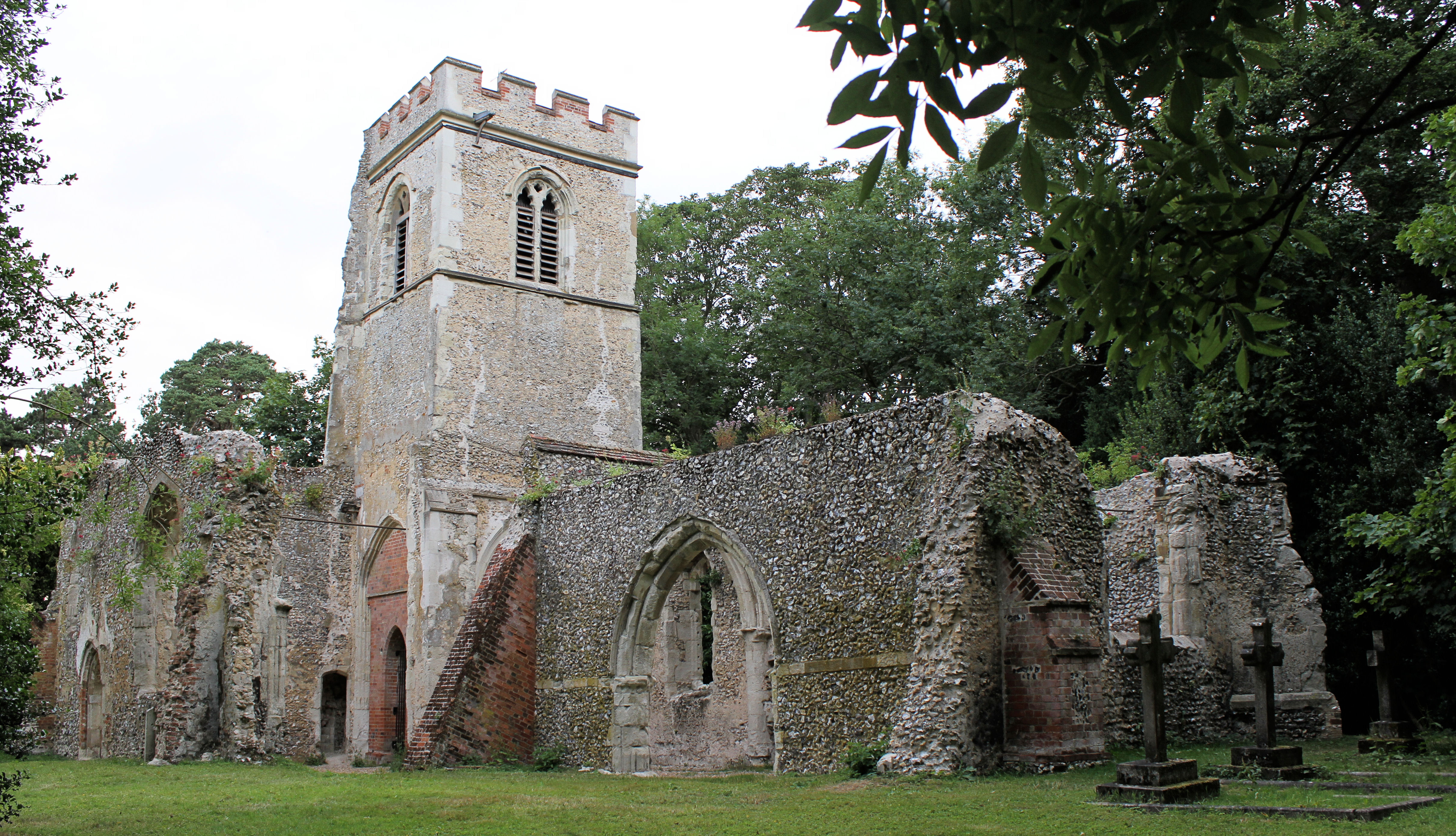
Old St Lawrence Church, Ayot St Lawrence

Old St Lawrence Church is a ruined building in Ayot St Lawrence, Hertfordshire, England. It is protected as a Grade II* listed building, and dates back...

Nearby Amenities

Located within 500m of 51.821394,-0.26326048
Created By: osmeditor2
Lat/Long: 51.823775/-0.2604817
Created By: osmeditor2
Lat/Long: 51.8235562/-0.2621379
Created By: osmeditor2
Lat/Long: 51.8233218/-0.2641692
Created By: osmeditor2
Lat/Long: 51.8231187/-0.2653567
The data included in this document is from www.openstreetmap.org. The data is made available under ODbL.

Have you been to Scratching Grove?

Leave your review of Scratching Grove below (or comments, questions and feedback).