Broomfield Shaw
Wood, Forest in Sussex Horsham
England
Broomfield Shaw

Broomfield Shaw is a picturesque woodland located in the Sussex countryside, specifically in the district of Wood, Forest. This idyllic woodland covers an area of approximately 100 acres and is known for its diverse array of flora and fauna, making it a popular destination for nature enthusiasts and birdwatchers.
The shaw is predominantly made up of ancient broadleaf trees, including oak, beech, and birch, which provide a rich and vibrant canopy throughout the year. The woodland floor is adorned with a carpet of bluebells in spring, creating a stunning sight for visitors. Additionally, the dense undergrowth and fallen logs offer a suitable habitat for a variety of woodland creatures, such as deer, foxes, badgers, and numerous bird species.
Broomfield Shaw boasts several well-maintained walking trails, allowing visitors to explore the woodland at their own pace. These paths wind through the dense foliage, providing glimpses of hidden ponds and streams along the way. The tranquil atmosphere and the sound of birdsong make it a perfect spot for relaxation and contemplation.
The shaw is also popular for its educational value, as it offers a unique opportunity for schools and colleges to study the local ecosystem and biodiversity. Local conservation groups organize guided tours and workshops, providing insights into the woodland's ecological importance and the importance of preserving such habitats.
Broomfield Shaw, Sussex (Wood, Forest) is truly a natural gem, offering a serene escape from the hustle and bustle of everyday life, while also serving as a valuable ecosystem and educational resource for the local community.
If you have any feedback on the listing, please let us know in the comments section below.
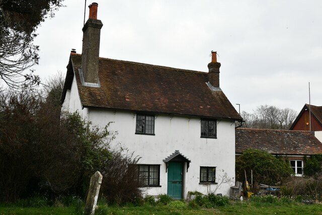
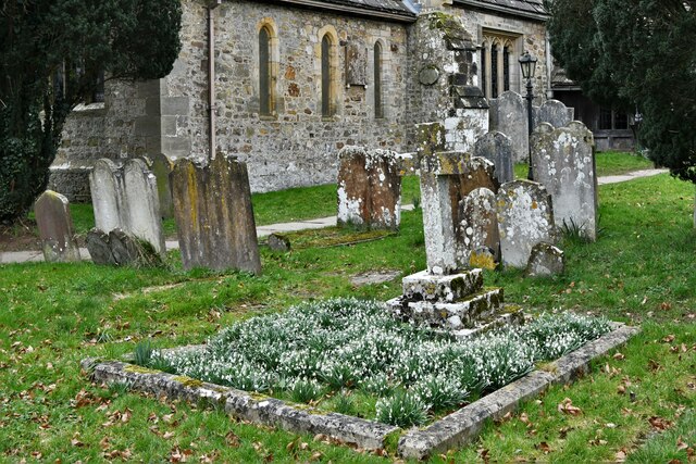
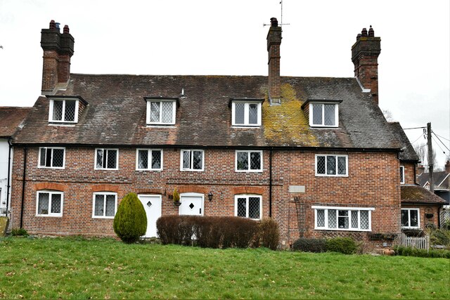
Broomfield Shaw Images
Images are sourced within 2km of 50.988351/-0.29853933 or Grid Reference TQ1922. Thanks to Geograph Open Source API. All images are credited.


Broomfield Shaw is located at Grid Ref: TQ1922 (Lat: 50.988351, Lng: -0.29853933)
Administrative County: West Sussex
District: Horsham
Police Authority: Sussex
What 3 Words
///corner.winded.fortified. Near Cowfold, West Sussex
Nearby Locations
Related Wikis

West Grinstead railway station
West Grinstead was a railway station on the Steyning Line which served the village of West Grinstead. It had a goods yard with a cattle loading bay and...

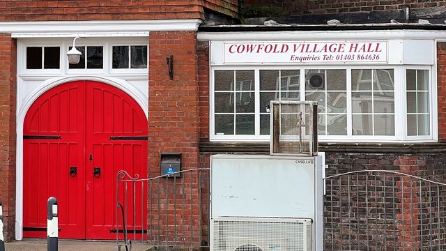
Cowfold
Cowfold is a village and civil parish between Billingshurst and Haywards Heath in the Horsham District of West Sussex, England. The village is at the intersection...

St Hugh's Charterhouse
St Hugh's Charterhouse, Parkminster, is the only post-Reformation Carthusian monastery in the United Kingdom. It is located in the parish of Cowfold, West...

Littleworth, West Sussex
Littleworth is a hamlet in the Horsham District of West Sussex, England. It lies on the Partridge Green to Maplehurst road 2.9 miles (4.7 km) north of...

Shrine of Our Lady of Consolation
The Shrine of Our Lady of Consolation or Church of Our Lady of Consolation and Saint Francis is a Roman Catholic parish church in West Grinstead, in West...

Maplehurst, West Sussex
Maplehurst is a hamlet in the civil parish of Nuthurst, and the Horsham District of West Sussex, England. The hamlet is on the Copsale to Nuthurst road...

Henfield (electoral division)
Henfield is an electoral division of West Sussex in the United Kingdom and returns one member to sit on West Sussex County Council. The current County...

West Grinstead
West Grinstead is a village and civil parish in the Horsham District of West Sussex, England. It lies just off the B2135 road four miles (6.3 km) northwest...
Nearby Amenities
Located within 500m of 50.988351,-0.29853933Have you been to Broomfield Shaw?
Leave your review of Broomfield Shaw below (or comments, questions and feedback).