Armstrong's Gorse

Wood, Forest in Huntingdonshire Huntingdonshire

England

Armstrong's Gorse

Bridleway towards the A1
Bridleway towards the A1 Credit: Jonathan Thacker

The requested URL returned error: 429 Too Many Requests

If you have any feedback on the listing, please let us know in the comments section below.

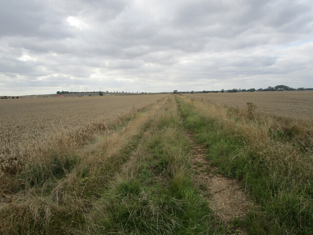
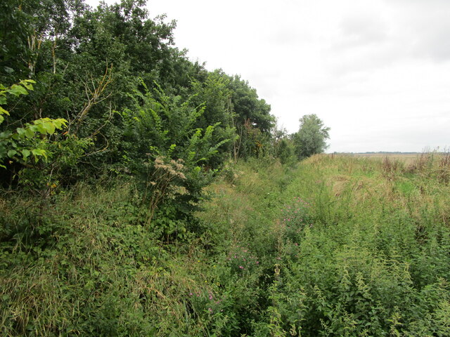
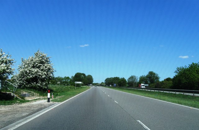
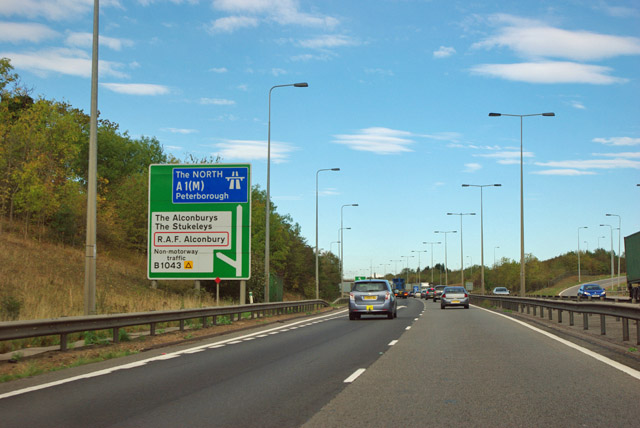
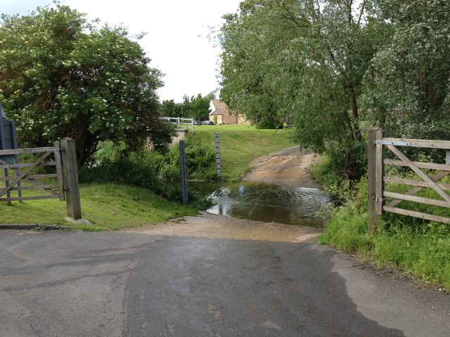
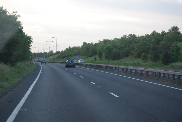
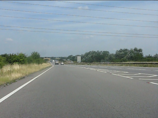
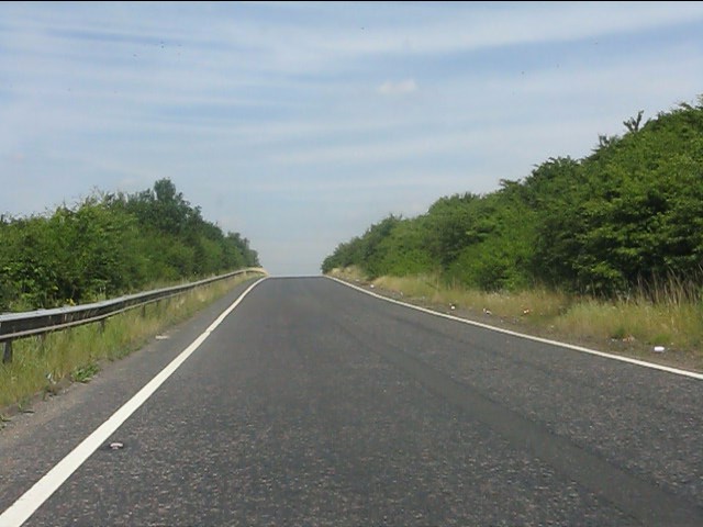
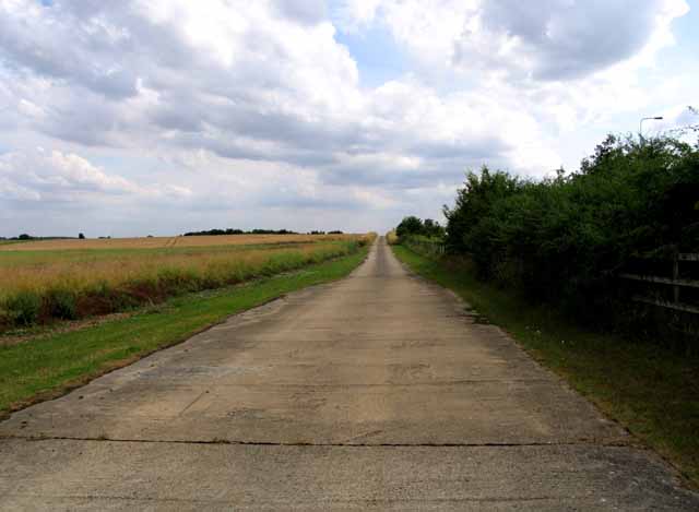
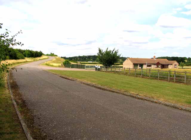
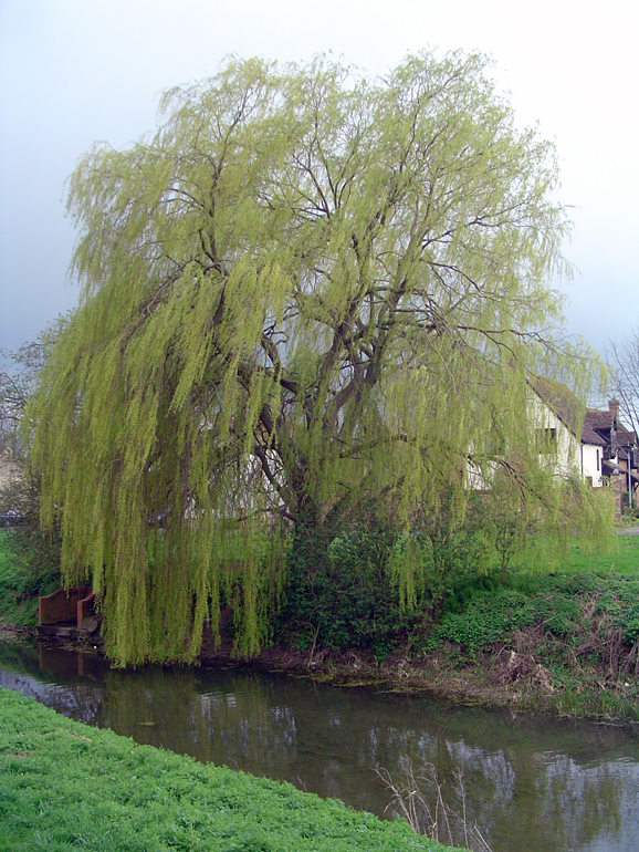
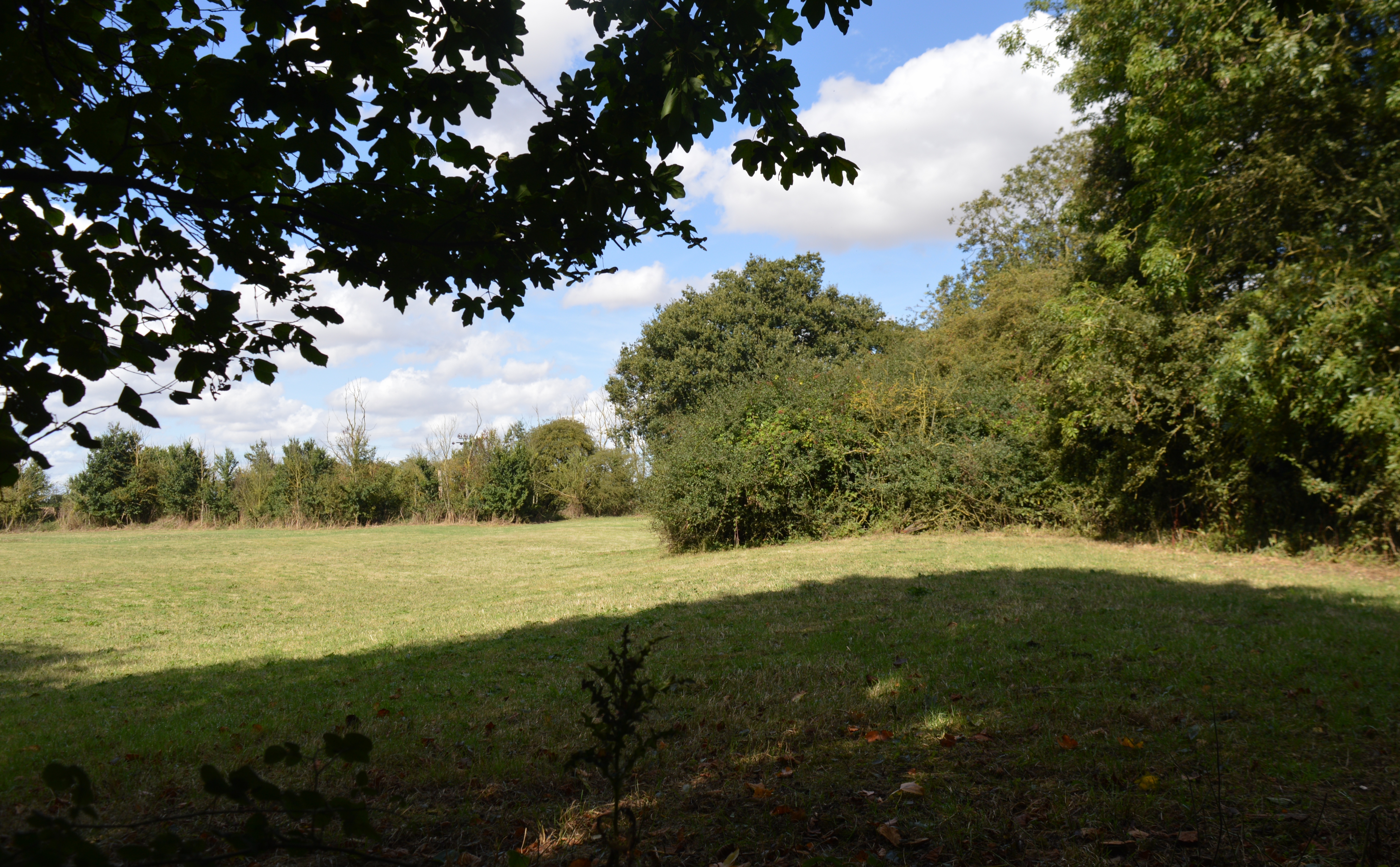
Armstrong's Gorse Images

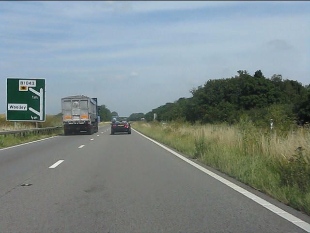
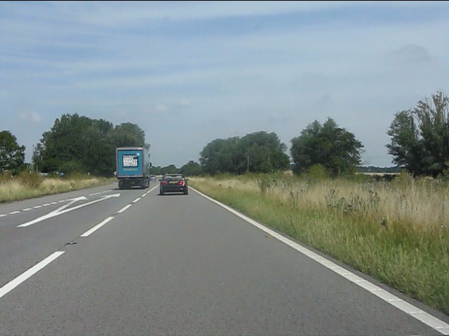
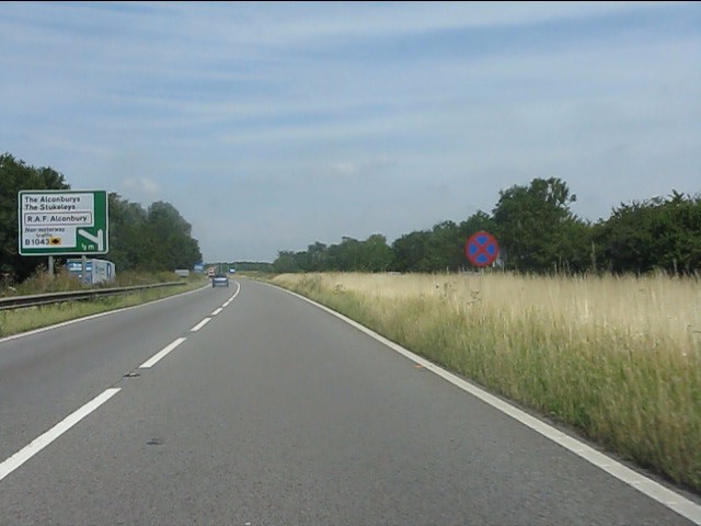
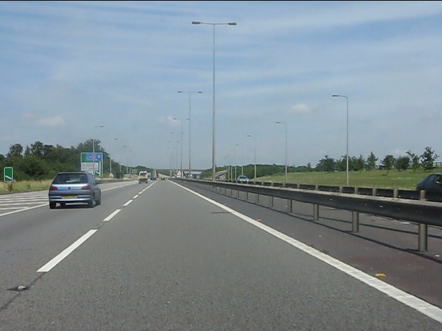
Images are sourced within 2km of 52.351382/-0.24665734 or Grid Reference TL1974. Thanks to Geograph Open Source API. All images are credited.

Bridleway towards the A1
Alconbury Brook There's water down there somewhere! What there isn't, but should be, is a footbridge crossing it. I searched but couldn't find it.
Alconbury Brook
There's water down there somewhere! What there isn't, but should be, is a footbridge crossing it. I searched but couldn't find it.
A1 turning for Woolley
A14 exit  to B1043 Contrary to usual practice for motorways and trunk roads, this junction is apparently not numbered.
A14 exit to B1043
Contrary to usual practice for motorways and trunk roads, this junction is apparently not numbered.
Alconbury Ford This gated ford is found in Alconbury.
Alconbury Ford
This gated ford is found in Alconbury.
A14 The A14 is a major road running 127 miles from Felixstowe to the Catthorpe Interchange, the junction of the M1 and M6 motorways near Rugby. The road connects East Anglia with the West Midlands and The North.
Wikipedia: <span class="nowrap"><a title="http://en.wikipedia.org/wiki/A14_road_(England)" rel="nofollow ugc noopener" href="http://en.wikipedia.org/wiki/A14_road_(England)">Link</a><img style="margin-left:2px;" alt="External link" title="External link - shift click to open in new window" src="https://s1.geograph.org.uk/img/external.png" width="10" height="10"/></span>
A14
The A14 is a major road running 127 miles from Felixstowe to the Catthorpe Interchange, the junction of the M1 and M6 motorways near Rugby. The road connects East Anglia with the West Midlands and The North. Wikipedia: LinkExternal link
Joining the A1 northbound at Brampton
Northbound entry slip road to A1, Brampton
A1 - half-mile to the Woolley exit At this point the A1 is a dual carriageway road of 1950s/60s design: no emergency lane (hard shoulder) and, remarkably for 2013, no anti-collision barriers in the central reservation.  All will change in a mile when the road is transformed into a motorway.
A1 - half-mile to the Woolley exit
At this point the A1 is a dual carriageway road of 1950s/60s design: no emergency lane (hard shoulder) and, remarkably for 2013, no anti-collision barriers in the central reservation. All will change in a mile when the road is transformed into a motorway.
A1 at the junction for Woolley The complete absence of any collision barriers is noteworthy.
A1 at the junction for Woolley
The complete absence of any collision barriers is noteworthy.
A1 at Matcham's Bridge The A1 here is a straightforward dual-carriageway road, open to all vehicles, though the sign to the right indicates that no stopping is permitted on the main carriageway.  A lay-by features on the left to enable vehicle drivers to take a break.  The left-hand sign has been updated with additional text squeezed in to indicate that non-motorway traffic must leave at the next exit.
A1 at Matcham's Bridge
The A1 here is a straightforward dual-carriageway road, open to all vehicles, though the sign to the right indicates that no stopping is permitted on the main carriageway. A lay-by features on the left to enable vehicle drivers to take a break. The left-hand sign has been updated with additional text squeezed in to indicate that non-motorway traffic must leave at the next exit.
A1 - 100 metres to the Alconbury exit
Alconbury junction A1/ A1(M) All non-motorway traffic must leave the A1 at this point.  Ahead is the A1(M).
Alconbury junction A1/ A1(M)
All non-motorway traffic must leave the A1 at this point. Ahead is the A1(M).
The A1(M) begins again One of several disconnected stretches of motorway bearing the route ID A1(M), this section runs from Alconbury to Peterborough.  From being a rather ordinary and cramped dual-carriageway, the Great North Road expands to a full 3-lane motorway. One day it might even fulfil the 1950s design brief and be completed from London to Newcastle.
The A1(M) begins again
One of several disconnected stretches of motorway bearing the route ID A1(M), this section runs from Alconbury to Peterborough. From being a rather ordinary and cramped dual-carriageway, the Great North Road expands to a full 3-lane motorway. One day it might even fulfil the 1950s design brief and be completed from London to Newcastle.
A1(M) at Alconbury
A1(M) at Alconbury
A1 junction roundabout
Farm track next to the A1 27 July 2013
Lazy Acre and access road
Show me another place!

Armstrong's Gorse is located at Grid Ref: TL1974 (Lat: 52.351382, Lng: -0.24665734)

Administrative County: Cambridgeshire

District: Huntingdonshire

Police Authority: Cambridgeshire

What 3 Words

///narrating.martini.expired. Near Alconbury, Cambridgeshire

Nearby Locations

Armstrong's Gorse

Related Wikis

Alconbury

Alconbury is a village and civil parish in Cambridgeshire, England. Alconbury is situated within Huntingdonshire which is a non-metropolitan district of...

Brampton Racecourse

Brampton Racecourse is a 21.1-hectare (52-acre) biological Site of Special Scientific Interest north of Brampton in Cambridgeshire. The site is also a...

Brampton Meadow

Brampton Meadow is a one hectare biological Site of Special Scientific Interest north-west of Brampton in Cambridgeshire, England.The site has a rich variety...

Brampton Hut interchange

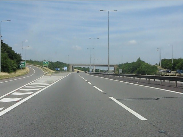
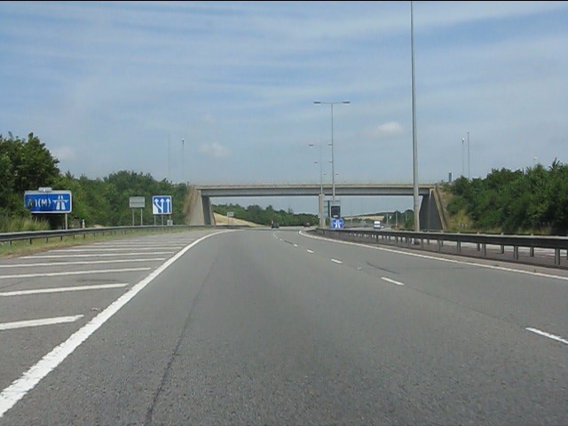
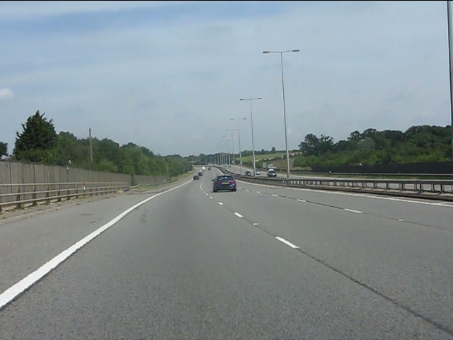
The Brampton Hut interchange west of Huntingdon links the A1 and A14 trunk roads, and the A141 road which takes traffic into Huntingdon or towards Norfolk...

Nearby Amenities

Located within 500m of 52.351382,-0.24665734
Created By: Merkaartor 0.12
Lat/Long: 52.3509109/-0.253425
Barrier: bollard
Lat/Long: 52.3503105/-0.2520367
The data included in this document is from www.openstreetmap.org. The data is made available under ODbL.

Have you been to Armstrong's Gorse?

Leave your review of Armstrong's Gorse below (or comments, questions and feedback).