Hazel Copse

Wood, Forest in Sussex Horsham

England

Hazel Copse

Oaks, Monk's Gate (1) There are quite a number of fine old specimens in the area, perhaps relics of former parkland.
Oaks, Monk's Gate (1) Credit: Stephen Richards

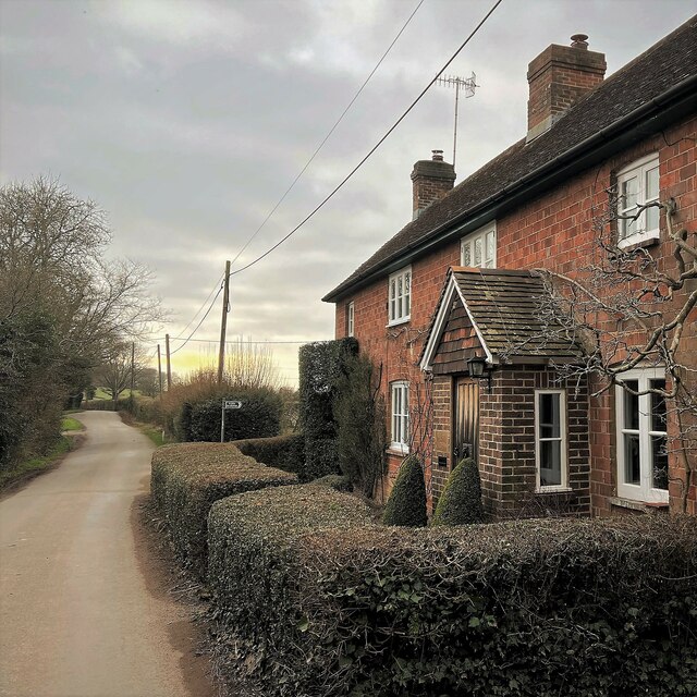
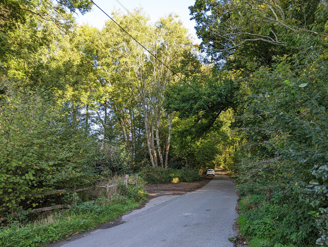
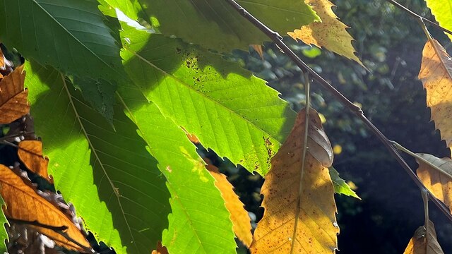
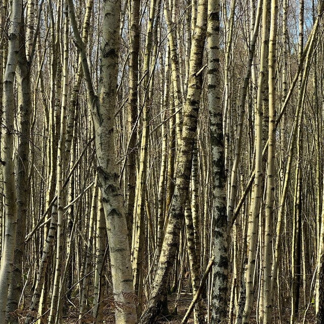
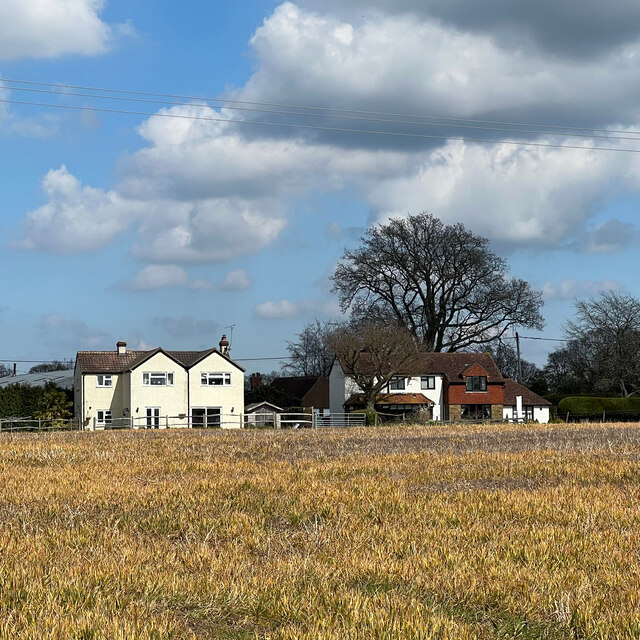
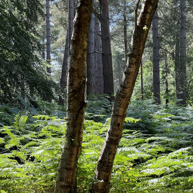
Hazel Copse is a picturesque woodland located in the county of Sussex, England. Spanning over an area of approximately 50 acres, it is known for its dense growth of hazel trees, hence the name. The copse is nestled in a rural landscape and is a popular destination for nature enthusiasts and hikers.

The woodland is characterized by its enchanting atmosphere, with dappled sunlight filtering through the lush canopy of hazel trees. These trees, which can grow up to 12 meters in height, create a dense and verdant habitat, providing a home to a variety of wildlife.

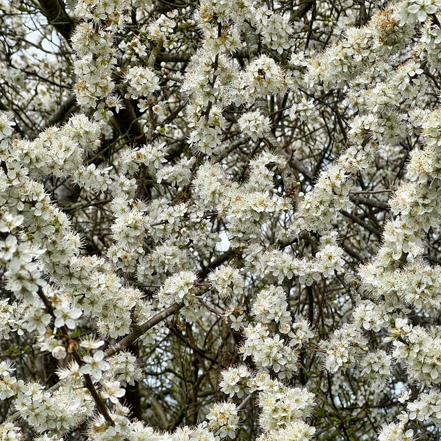
Hazel Copse boasts a rich biodiversity, with a diverse range of flora and fauna. In addition to the hazel trees, the woodland is also home to oak, beech, and ash trees, creating a diverse and vibrant ecosystem. Wildflowers such as bluebells and primroses carpet the forest floor during the spring months, adding to its natural beauty.

The copse is also home to a wide array of wildlife, including various bird species such as woodpeckers, owls, and thrushes. Additionally, small mammals like squirrels, rabbits, and foxes can often be spotted within the woodland.

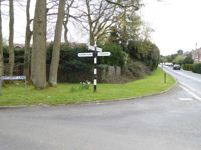
Hazel Copse offers several walking trails, allowing visitors to explore its beauty at their own pace. The serene ambiance and natural beauty of the woodland make it an ideal place for relaxation, picnicking, or simply immersing oneself in nature.

If you have any feedback on the listing, please let us know in the comments section below.

Hazel Copse Images

Images are sourced within 2km of 51.034787/-0.29949208 or Grid Reference TQ1927. Thanks to Geograph Open Source API. All images are credited.

Oaks, Monk's Gate (1) There are quite a number of fine old specimens in the area, perhaps relics of former parkland.
Oaks, Monk's Gate (1)
There are quite a number of fine old specimens in the area, perhaps relics of former parkland.
Oaks, Monk's Gate (2) There are quite a number of fine old specimens in the area, perhaps relics of former parkland.
Oaks, Monk's Gate (2)
There are quite a number of fine old specimens in the area, perhaps relics of former parkland.
Cottage on Newells Lane The bridleway through Lodgesale Wood starts just beyond the cottage, on the right of the lane.
Cottage on Newells Lane
The bridleway through Lodgesale Wood starts just beyond the cottage, on the right of the lane.
New houses in Coolhurst Close
Hop Gardens, Newell's Lane
Newell's Lane North towards the A281, Brighton Road.
Newell's Lane
North towards the A281, Brighton Road.
Sweet chestnut leaves on the edge of Stanford's Copse
Trees in Lodgesale Wood
Rears of houses on the A281
Blackthorn - Prunus spinosa
Scene in Lodgesale Wood
Holly - Ilex aquifolium
Looking west on Pound Lane
Looking east on Pound Lane
Signpost at western end of Winterpit Lane A different view is at <a title="https://www.geograph.org.uk/photo/1864181" href="https://www.geograph.org.uk/photo/1864181">Link</a>.
Signpost at western end of Winterpit Lane
A different view is at Link.
Seat on grassy area in Mannings Heath
Junction of Brighton and Church Roads A different view is at <a title="https://www.geograph.org.uk/photo/4232077" href="https://www.geograph.org.uk/photo/4232077">Link</a>.
Junction of Brighton and Church Roads
A different view is at Link.
Cottages on the A281 in Mannings Heath "The Dun Horse" PH beyond the dwellings is all boarded up.
See also <a title="https://www.geograph.org.uk/photo/1864075" href="https://www.geograph.org.uk/photo/1864075">Link</a>.
Cottages on the A281 in Mannings Heath
"The Dun Horse" PH beyond the dwellings is all boarded up. See also Link.
Show me another place!

Hazel Copse is located at Grid Ref: TQ1927 (Lat: 51.034787, Lng: -0.29949208)

Administrative County: West Sussex

District: Horsham

Police Authority: Sussex

What 3 Words

///cashew.farm.cabbies. Near Horsham, West Sussex

Related Wikis

Southwater & Nuthurst (electoral division)

Southwater & Nuthurst is an electoral division of West Sussex in the United Kingdom and returns one member to sit on West Sussex County Council. The current...

Monk's Gate

Monk's Gate is a hamlet in the civil parish of Nuthurst, in the Horsham District of West Sussex, England. It lies on the A281 road 3 miles (5 km) southeast...

Nuthurst

Nuthurst is a village and civil parish in the Horsham district of West Sussex, England. The north of the parish borders Horsham town, with Nuthurst village...

Mannings Heath

Mannings Heath is a village in the civil parish of Nuthurst and the Horsham District of West Sussex, England. The village is on the A281 road, 2 miles...

Chesworth House

Chesworth House is a former Tudor manor house, located a mile south of Horsham, West Sussex, England. The original Manor house became a farmhouse and has...

Mannings Heath Golf & Wine Estate

Mannings Heath Golf & Wine Estate is located in Mannings Heath, Horsham in the south of England. The 500 acre parkland site includes two golf courses and...

Lower Beeding

Lower Beeding is a village and civil parish in the Horsham District of West Sussex, England. The village lies on the B2110, B2115 and A281 roads 3.5 miles...

Newells Preparatory School

Newells Preparatory School came to Lower Beeding, Sussex, in 1946. It has been at Handcross and known as Handcross Park School since 1968. It merged with...

Nearby Amenities

Located within 500m of 51.034787,-0.29949208
Nuthurst Road
Naptan AtcoCode: 4400HR0835
Naptan Bearing: NE
Naptan BusStopType: CUS
Naptan CommonName: Nuthurst Road
Naptan Indicator: HAR
Naptan Landmark: Hail & Ride
Naptan NaptanCode: wsxdwmpd
Naptan Street: Nuthurst Road
Naptan Verified: no
Source: naptan_import
Lat/Long: 51.0307668/-0.2968327
Nuthurst Road
Naptan AtcoCode: 4400HR0836
Naptan Bearing: SW
Naptan BusStopType: CUS
Naptan CommonName: Nuthurst Road
Naptan Indicator: HAR
Naptan Landmark: Hail & Ride
Naptan NaptanCode: wsxdwmpg
Naptan Street: Nuthurst Road
Naptan Verified: no
Source: naptan_import
Lat/Long: 51.0307561/-0.296719
Power: tower
Lat/Long: 51.0366152/-0.2968453
Power: tower
Lat/Long: 51.0343349/-0.2973139
Power: tower
Lat/Long: 51.0316404/-0.2978975
Lot 2
Addr City: Monks Gate
Addr Housename: Lot 2, Lower Pond Farm
Addr Street: Nuthurst Road
Lat/Long: 51.0332856/-0.2958467
Lot 3
Addr City: Monks Gate
Addr Housename: Lot 3, Lower Pond Farm
Addr Street: Nuthurst Street
Lat/Long: 51.0330029/-0.2964915
Nuthurst Orchard
Addr City: Monks Gate
Addr Housename: Nuthurst Orchard
Addr Street: Nuthurst Street
Landuse: orchard
Lat/Long: 51.0335384/-0.2951447
Lower Pond Farm
Place: farm
Lat/Long: 51.0329528/-0.2952229
Westlands Farm
Place: farm
Lat/Long: 51.03404/-0.3059405
The data included in this document is from www.openstreetmap.org. The data is made available under ODbL.

Have you been to Hazel Copse?

Leave your review of Hazel Copse below (or comments, questions and feedback).