Finche's Wood
Wood, Forest in Sussex Horsham
England
Finche's Wood

Finche's Wood is a picturesque forest located in Sussex, England. Covering an area of approximately 500 acres, it is a well-preserved woodland that offers a tranquil escape for nature lovers and outdoor enthusiasts. The forest is named after the Finche family, who were the original owners of the land.
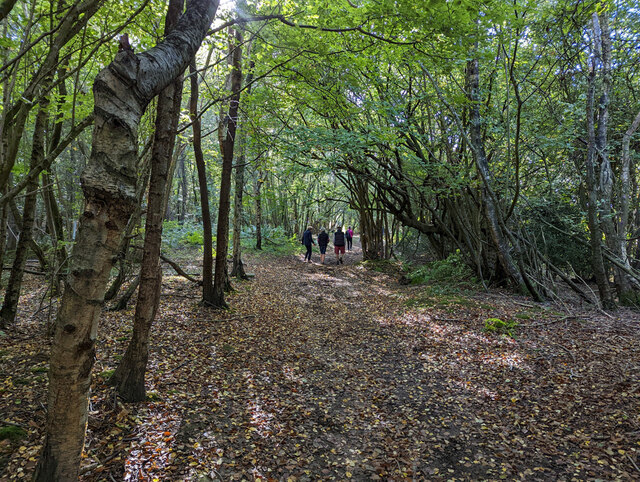
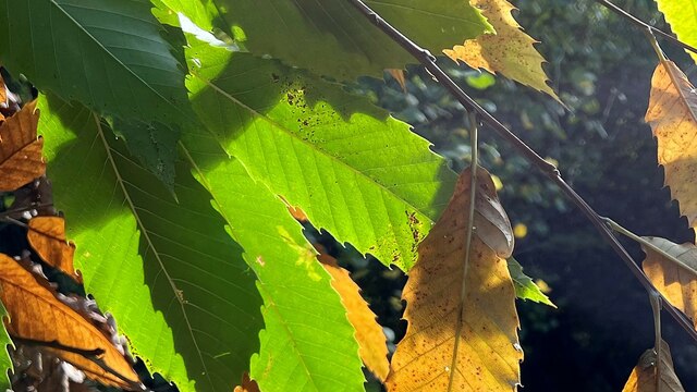
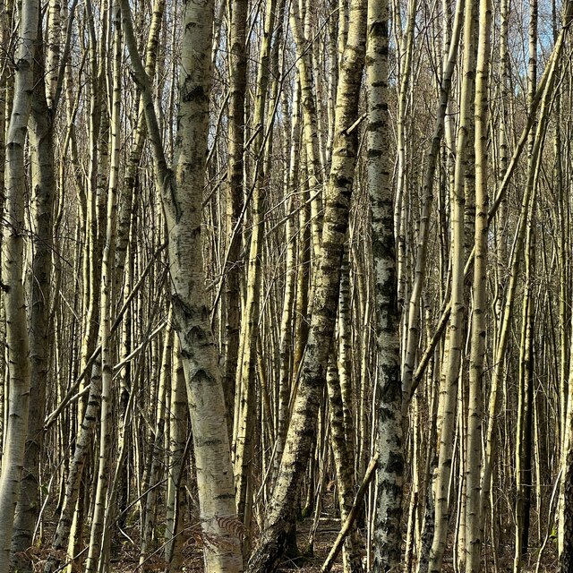
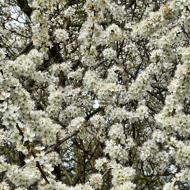
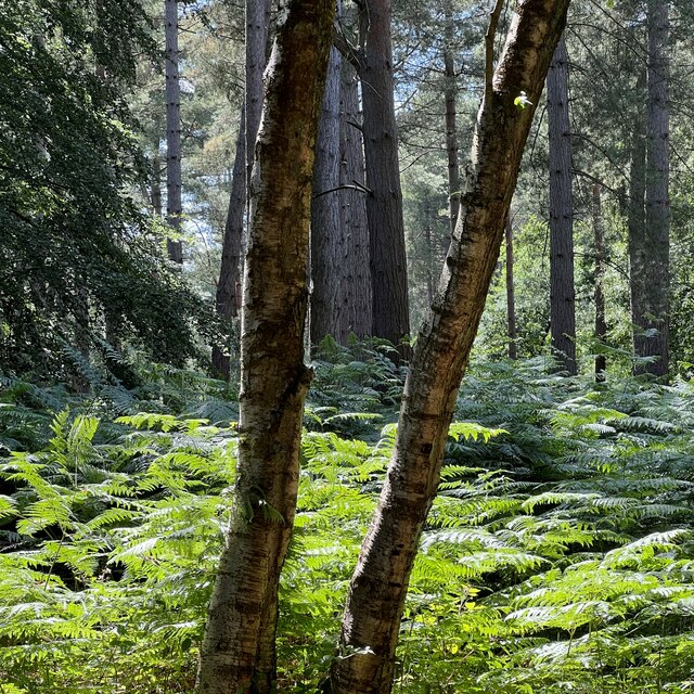
As one explores Finche's Wood, they are greeted with a diverse range of flora and fauna. The woodland is primarily composed of deciduous trees such as oak, beech, and birch, creating a vibrant tapestry of colors throughout the year. The forest floor is carpeted with a variety of wildflowers, adding to the enchanting atmosphere.
The forest is home to a thriving ecosystem, providing habitat for numerous wildlife species. Birdwatchers will be delighted to spot various species of birds, including woodpeckers, owls, and songbirds. Squirrels, badgers, and deer can also be spotted among the trees, adding to the natural beauty of the woodland.
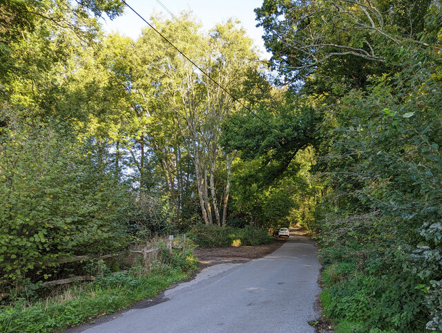
Finche's Wood offers a network of well-maintained walking trails, allowing visitors to fully immerse themselves in the serenity of the forest. These trails wind through the trees, revealing hidden glades and small streams along the way. There are also picnic areas and benches strategically placed, providing opportunities for visitors to rest and enjoy the peaceful surroundings.
The wood has a rich history, with remnants of ancient settlements and archaeological finds. It has been a cherished resource for the local community for generations, providing a place for recreation, education, and inspiration. Finche's Wood continues to be a beloved destination for all those seeking solace in the midst of nature's splendor.
If you have any feedback on the listing, please let us know in the comments section below.
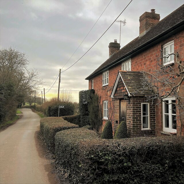
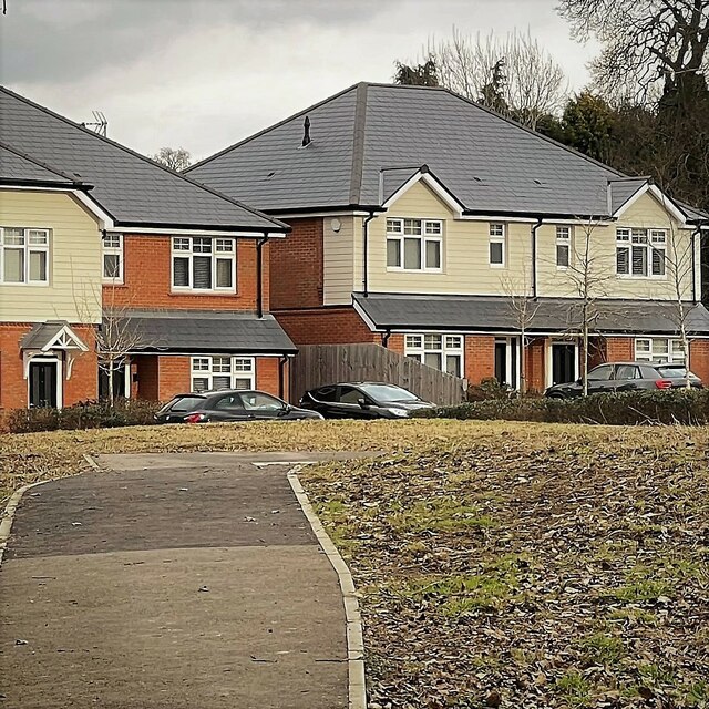
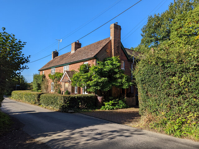
Finche's Wood Images
Images are sourced within 2km of 51.032101/-0.30027498 or Grid Reference TQ1927. Thanks to Geograph Open Source API. All images are credited.


Finche's Wood is located at Grid Ref: TQ1927 (Lat: 51.032101, Lng: -0.30027498)
Administrative County: West Sussex
District: Horsham
Police Authority: Sussex
What 3 Words
///birthing.machine.frightens. Near Southwater, West Sussex
Nearby Locations
Related Wikis

Southwater & Nuthurst (electoral division)
Southwater & Nuthurst is an electoral division of West Sussex in the United Kingdom and returns one member to sit on West Sussex County Council. The current...

Nuthurst
Nuthurst is a village and civil parish in the Horsham district of West Sussex, England. The north of the parish borders Horsham town, with Nuthurst village...

Monk's Gate
Monk's Gate is a hamlet in the civil parish of Nuthurst, in the Horsham District of West Sussex, England. It lies on the A281 road 3 miles (5 km) southeast...

Mannings Heath
Mannings Heath is a village in the civil parish of Nuthurst and the Horsham District of West Sussex, England. The village is on the A281 road, 2 miles...

Maplehurst, West Sussex
Maplehurst is a hamlet in the civil parish of Nuthurst, and the Horsham District of West Sussex, England. The hamlet is on the Copsale to Nuthurst road...

Lower Beeding
Lower Beeding is a village and civil parish in the Horsham District of West Sussex, England. The village lies on the B2110, B2115 and A281 roads 3.5 miles...
Chesworth House
Chesworth House is a former Tudor manor house, located a mile south of Horsham, West Sussex, England. The original Manor house became a farmhouse and has...

Newells Preparatory School
Newells Preparatory School came to Lower Beeding, Sussex, in 1946. It has been at Handcross and known as Handcross Park School since 1968. It merged with...
Nearby Amenities
Located within 500m of 51.032101,-0.30027498Have you been to Finche's Wood?
Leave your review of Finche's Wood below (or comments, questions and feedback).