Horsegills Wood

Wood, Forest in Sussex Horsham

England

Horsegills Wood

Ghyll Manor Hotel, Rusper, West Sussex Originally a private house, this hotel now provides luxurious accommodation in a rural setting in the small village of Rusper.
Ghyll Manor Hotel, Rusper, West Sussex Credit: Pete Chapman

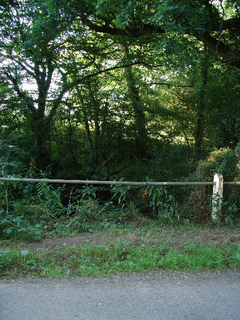
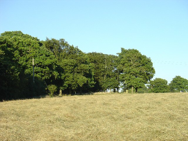
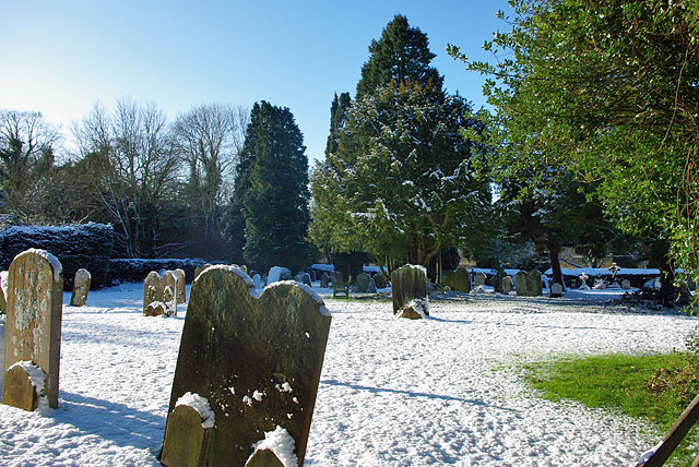
Horsegills Wood is a stunning woodland located in Sussex, England. This enchanting forest covers an area of approximately 100 acres and is known for its diverse range of flora and fauna. It is a popular destination for nature enthusiasts and hikers alike due to its picturesque landscapes and tranquil atmosphere.

The wood is predominantly composed of deciduous trees, such as oak, beech, and birch, which create a dense and lush canopy overhead. These trees provide a home to a variety of wildlife, including deer, foxes, and numerous species of birds. The wood is also renowned for its vibrant bluebell displays during the springtime, attracting visitors from far and wide.

Horsegills Wood features a network of well-maintained footpaths, allowing visitors to explore the area at their own pace. Along these trails, one can discover peaceful clearings, babbling brooks, and hidden ponds, adding to the charm of the woodland. The wood is also home to several ancient trees, some of which have been standing for centuries, adding a sense of history and grandeur to the area.

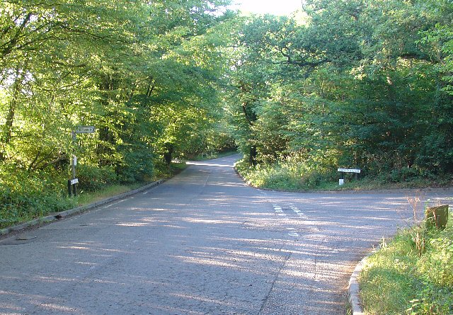
The wood is easily accessible, with ample parking facilities and nearby public transportation options. It is open to the public throughout the year, providing a peaceful retreat from the hustle and bustle of everyday life. Whether you are a keen photographer, a nature lover, or simply seeking a serene escape, Horsegills Wood is a must-visit destination in Sussex.

If you have any feedback on the listing, please let us know in the comments section below.

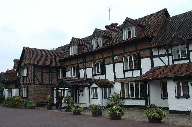
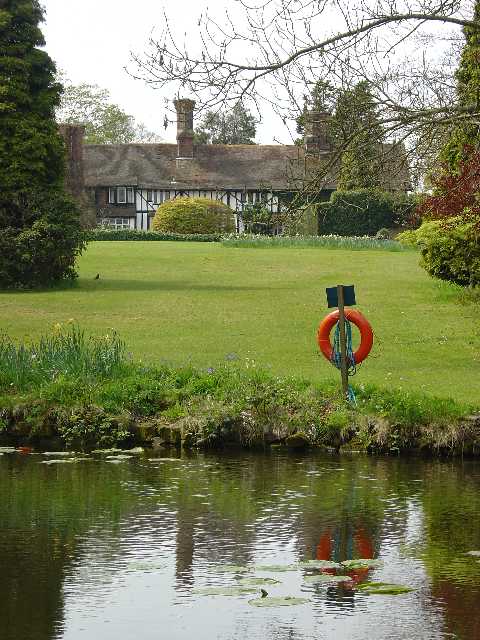
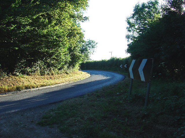
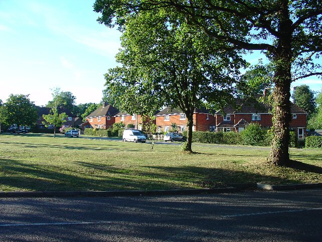
Horsegills Wood Images

Images are sourced within 2km of 51.120317/-0.29626792 or Grid Reference TQ1937. Thanks to Geograph Open Source API. All images are credited.

Ghyll Manor Hotel, Rusper, West Sussex Originally a private house, this hotel now provides luxurious accommodation in a rural setting in the small village of Rusper.
Ghyll Manor Hotel, Rusper, West Sussex
Originally a private house, this hotel now provides luxurious accommodation in a rural setting in the small village of Rusper.
Pond in the grounds of Ghyll Manor Hotel, Rusper, West Sussex The grounds of the hotel include an ornamental pond with water lilies and large goldfish. The view shows the pond in the foreground, with the back of the main hotel building in the background
Pond in the grounds of Ghyll Manor Hotel, Rusper, West Sussex
The grounds of the hotel include an ornamental pond with water lilies and large goldfish. The view shows the pond in the foreground, with the back of the main hotel building in the background
Waffles Corner on the road between Rusper (West Sussex) and Capel (Surrey). Many such roads in this area. The rural population is quite high and these roads are often busy, hence quite wide and with lines down the middle.
Waffles Corner on the road between Rusper (West Sussex) and Capel (Surrey).
Many such roads in this area. The rural population is quite high and these roads are often busy, hence quite wide and with lines down the middle.
Houses at Gardeners Green, Rusper, West Sussex On the outskirts of the village of Rusper. This is a private estate of houses. This is an example of ribbon development along the existing rural roads. Viewed from Horsham Road looking N.
Houses at Gardeners Green, Rusper, West Sussex
On the outskirts of the village of Rusper. This is a private estate of houses. This is an example of ribbon development along the existing rural roads. Viewed from Horsham Road looking N.
Tributary of River Mole, Near Coombers Farm, Faygate, West Sussex. The River Mole is one of the main rivers in the area. This is a very young tributary. The stream runs through a narrow strip of trees for around 2km at this point. See the River Mole again in grid square TQ2337.
Tributary of River Mole, Near Coombers Farm, Faygate, West Sussex.
The River Mole is one of the main rivers in the area. This is a very young tributary. The stream runs through a narrow strip of trees for around 2km at this point. See the River Mole again in grid square TQ2337.
Copse in Hay Field near Waffles Corner, Rusper, West Sussex One of many small patches of mature broadleaved woodland that are present in this area. The grass in this field has recently been cut for hay. Photo taken from the public footpath that runs by the copse E from Waffles Corner.
Copse in Hay Field near Waffles Corner, Rusper, West Sussex
One of many small patches of mature broadleaved woodland that are present in this area. The grass in this field has recently been cut for hay. Photo taken from the public footpath that runs by the copse E from Waffles Corner.
Junction of Partridge Lane and Rusper Road, Near Rusper, West Sussex. NB. This junction is just into Surrey.
The roads at this junction lead to Charlwood (Surrey), Newdigate (Surrey) and Rusper (West Sussex).
Junction of Partridge Lane and Rusper Road, Near Rusper, West Sussex.
NB. This junction is just into Surrey. The roads at this junction lead to Charlwood (Surrey), Newdigate (Surrey) and Rusper (West Sussex).
The Plough Inn, Rusper. A fine, old, weather-boarded village pub.
The Plough Inn, Rusper.
A fine, old, weather-boarded village pub.
A snowy Rusper churchyard It is surprising that this photogenic and accessible village has so few geographs.
A snowy Rusper churchyard
It is surprising that this photogenic and accessible village has so few geographs.
The happier face of the Church of England An opportunist decoration on St Mary Magdalene's Church, Rusper.
The happier face of the Church of England
An opportunist decoration on St Mary Magdalene's Church, Rusper.
Gardeners Green, Rusper The last residential development in Rusper, going towards Horsham.
Gardeners Green, Rusper
The last residential development in Rusper, going towards Horsham.
Rusper Church Tower Battlemented tower on the parish church, St Mary Magdalene, with an ornate garlanded cross in the foreground.
<span class="nowrap"><a title="http://www.rusperchurch.co.uk/" rel="nofollow ugc noopener" href="http://www.rusperchurch.co.uk/">Link</a><img style="margin-left:2px;" alt="External link" title="External link - shift click to open in new window" src="https://s1.geograph.org.uk/img/external.png" width="10" height="10"/></span>
Rusper Church Tower
Battlemented tower on the parish church, St Mary Magdalene, with an ornate garlanded cross in the foreground. LinkExternal link
Font, Rusper Church Older font in the Rusper parish church, West Sussex.
<span class="nowrap"><a title="http://www.rusperchurch.co.uk/" rel="nofollow ugc noopener" href="http://www.rusperchurch.co.uk/">Link</a><img style="margin-left:2px;" alt="External link" title="External link - shift click to open in new window" src="https://s1.geograph.org.uk/img/external.png" width="10" height="10"/></span>
Font, Rusper Church
Older font in the Rusper parish church, West Sussex. LinkExternal link
Rusper Church, East Window Designed by Gerald Smith, the window has the ascended Lord of Glory as its centrepiece, flanked by the four seasons.
<span class="nowrap"><a title="http://www.rusperchurch.co.uk/" rel="nofollow ugc noopener" href="http://www.rusperchurch.co.uk/">Link</a><img style="margin-left:2px;" alt="External link" title="External link - shift click to open in new window" src="https://s1.geograph.org.uk/img/external.png" width="10" height="10"/></span>
Rusper Church, East Window
Designed by Gerald Smith, the window has the ascended Lord of Glory as its centrepiece, flanked by the four seasons. LinkExternal link
Saint Mary Magdalene Church, Rusper A church stood here in the 1300s and probably earlier. The current building is Victorian and had its foundation stone laid in 1854. The war memorial is to the left in the photograph.
<span class="nowrap"><a title="http://www.rusperchurch.co.uk/" rel="nofollow ugc noopener" href="http://www.rusperchurch.co.uk/">Link</a><img style="margin-left:2px;" alt="External link" title="External link - shift click to open in new window" src="https://s1.geograph.org.uk/img/external.png" width="10" height="10"/></span>
Saint Mary Magdalene Church, Rusper
A church stood here in the 1300s and probably earlier. The current building is Victorian and had its foundation stone laid in 1854. The war memorial is to the left in the photograph. LinkExternal link
Rusper, West Sussex Bow windows on Rusper's High Street beside the village churchyard.
Rusper, West Sussex
Bow windows on Rusper's High Street beside the village churchyard.
Wayside, Rusper Residential care home on the High Street in the West Sussex village of Rusper.
Wayside, Rusper
Residential care home on the High Street in the West Sussex village of Rusper.
Horsham Road, Rusper Attractive tile-hung cottages near the centre of Rusper village.
Horsham Road, Rusper
Attractive tile-hung cottages near the centre of Rusper village.
Show me another place!

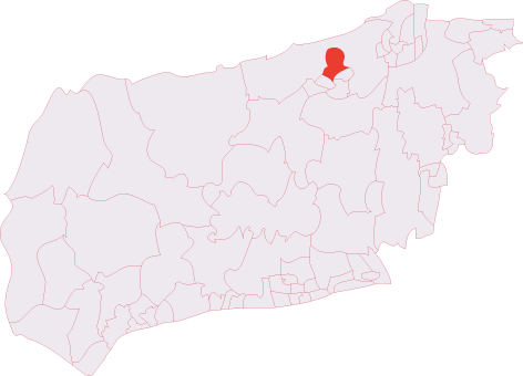
Horsegills Wood is located at Grid Ref: TQ1937 (Lat: 51.120317, Lng: -0.29626792)

Administrative County: West Sussex

District: Horsham

Police Authority: Sussex

What 3 Words

///etchings.things.nozzles. Near Capel, Surrey

Nearby Locations

Rome Wood Horsegills Wood

Related Wikis

Rusper

Rusper is a village and civil parish in the Horsham District of West Sussex, England. It lies 4.1 miles (6.6 km) north of the town of Horsham and 4.2 miles...

Shiremark Mill, Capel

Shiremark Mill, also known as Kingsfold Mill or Capel Mill was a listed Smock mill at Capel, Surrey, England, which was burnt down in 1972. == History... ==

Clock House Brickworks

Clock House Brickworks is a 35.9-hectare (89-acre) geological Site of Special Scientific Interest south of Capel in Surrey. It is a Geological Conservation...

Warnham SSSI

Warnham SSSI is a 28.5-hectare (70-acre) geological Site of Special Scientific Interest north of Horsham in West Sussex. It is a Geological Conservation...

Lambs Green

Lambs Green is a hamlet in the civil parish of Rusper and the Horsham District of West Sussex, England. It lies on the Rusper to Ifield road 3.1 miles...

Auclaye

Auclaye is a 0.6-hectare (1.5-acre) geological Site of Special Scientific Interest south of Capel in Surrey. It is a Geological Conservation Review site...

Bohunt Horsham

Bohunt Horsham is a coeducational all-through school located in Horsham, West Sussex, England. The school opened to 120 students in Year 7 in 2019 in temporary...

Holbrook (electoral division)

Holbrook is an electoral division of West Sussex in the United Kingdom and returns one member to sit on West Sussex County Council. The current County...

Nearby Amenities

Located within 500m of 51.120317,-0.29626792
Barrier: stile
Lat/Long: 51.1195453/-0.3013173
Barrier: kissing_gate
Lat/Long: 51.121461/-0.2966131
Barrier: kissing_gate
Lat/Long: 51.1228294/-0.2932691
Barrier: stile
Lat/Long: 51.1196369/-0.301924
Power: pole
Lat/Long: 51.1175828/-0.2957082
Power: pole
Lat/Long: 51.117401/-0.2939031
Power: pole
Lat/Long: 51.1179701/-0.2996939
Power: pole
Source: gps;Bing
Lat/Long: 51.1177639/-0.2975629
Power: pole
Source: gps
Lat/Long: 51.1173434/-0.2922106
Power: pole
Source: gps
Lat/Long: 51.1172647/-0.2910841
The data included in this document is from www.openstreetmap.org. The data is made available under ODbL.

Have you been to Horsegills Wood?

Leave your review of Horsegills Wood below (or comments, questions and feedback).