Soper's Copse

Wood, Forest in Sussex Horsham

England

Soper's Copse

Sweethill Farm and pastures Taken from South looking right across the gridsquare towards the farm.
Sweethill Farm and pastures Credit: Chris Shaw

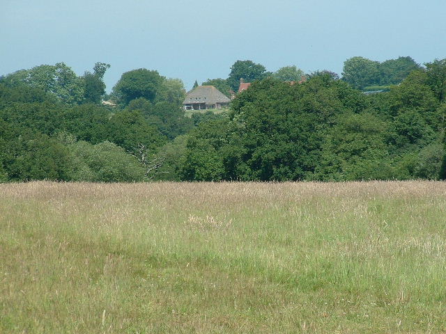
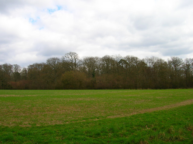
Soper's Copse is a picturesque woodland located in Sussex, England. Covering an area of approximately 50 acres, it is a popular destination for nature enthusiasts and walkers seeking tranquility and natural beauty. The copse is situated in the heart of the South Downs National Park, renowned for its stunning landscapes and diverse flora and fauna.

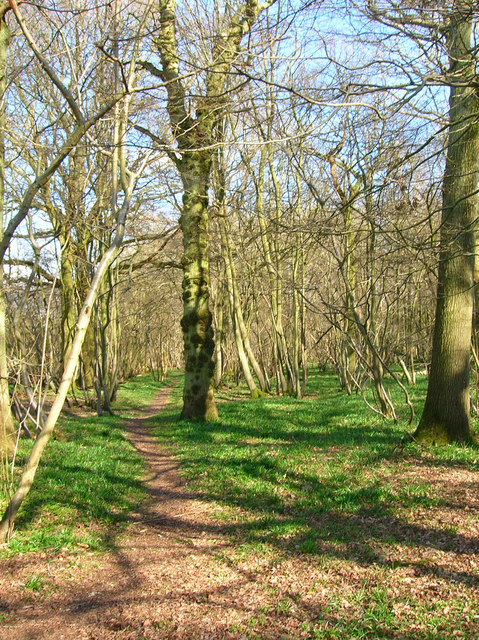
The woodland is characterized by its dense canopy of mature trees, primarily consisting of oak, beech, and ash. These towering trees provide a cool and shaded environment, making it an ideal spot for a leisurely stroll on a sunny day. The forest floor is carpeted with a variety of wildflowers, such as bluebells and primroses, adding a burst of color to the landscape during springtime.

Soper's Copse is home to a diverse range of wildlife. Visitors may catch a glimpse of shy deer, squirrels darting among the branches, and a plethora of bird species, including woodpeckers, owls, and songbirds. The copse also provides an important habitat for various insects, amphibians, and reptiles, contributing to the area's rich biodiversity.

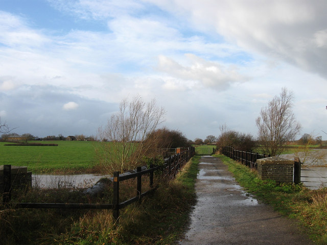
The woodland is crisscrossed with a network of well-maintained footpaths, allowing visitors to explore its beauty at their own pace. These paths lead to tranquil clearings, inviting visitors to pause and enjoy the peaceful surroundings. Additionally, there are designated picnic areas where visitors can relax and immerse themselves in the natural serenity of the copse.

Soper's Copse offers a wonderful escape from the hustle and bustle of everyday life, providing a sanctuary for nature lovers and an opportunity to connect with the beauty of the Sussex countryside.

If you have any feedback on the listing, please let us know in the comments section below.

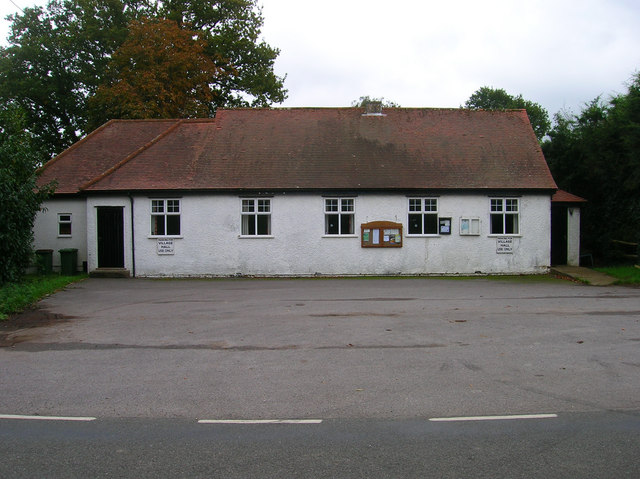
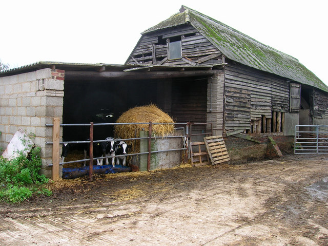
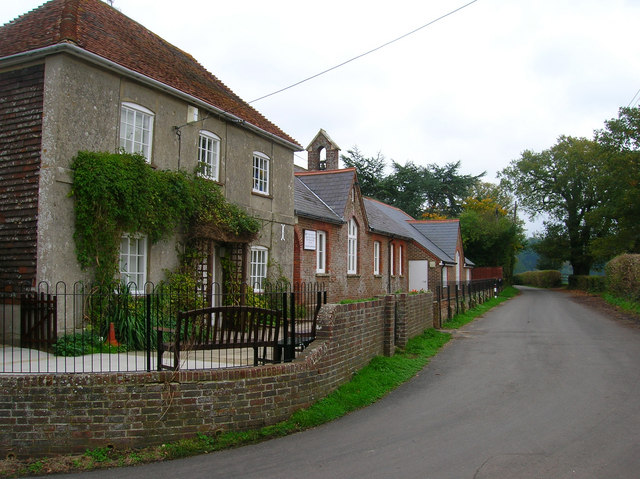
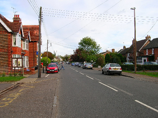
Soper's Copse Images

Images are sourced within 2km of 50.941917/-0.33388468 or Grid Reference TQ1717. Thanks to Geograph Open Source API. All images are credited.

Sweethill Farm and pastures Taken from South looking right across the gridsquare towards the farm.
Sweethill Farm and pastures
Taken from South looking right across the gridsquare towards the farm.
Capite Wood Taken from the footpath that links Woodman's Farm with Buckells Farm. The dense cover of the firs gives it a spooky feel.
Capite Wood
Taken from the footpath that links Woodman's Farm with Buckells Farm. The dense cover of the firs gives it a spooky feel.
Footbridge, Capite Wood Carrying the footpath that links Woodman's Farm to Buckells Farm
Footbridge, Capite Wood
Carrying the footpath that links Woodman's Farm to Buckells Farm
Field near Dalesdown School Chanctonbury Ring can be seen between the two trees to the right just above the less than bucolic flytipping area. Taken from the point where the footpath crosses the farm road.
Field near Dalesdown School
Chanctonbury Ring can be seen between the two trees to the right just above the less than bucolic flytipping area. Taken from the point where the footpath crosses the farm road.
Pot Common Potcommon Furzefield to the left, Soil Wood to the right. Taken from the bridleway.
Pot Common
Potcommon Furzefield to the left, Soil Wood to the right. Taken from the bridleway.
Smiley Face, Honeybridge Lane Painted sign next to the entrance of Dalesdown Educational Establishment.
Smiley Face, Honeybridge Lane
Painted sign next to the entrance of Dalesdown Educational Establishment.
Flat Dossers Known a few of them in my time! Taken from the bridleway.
Flat Dossers
Known a few of them in my time! Taken from the bridleway.
Entrance to Whitefoots Wheelie bin standing guard. This is the point where the bridleway turns shapely west.
Entrance to Whitefoots
Wheelie bin standing guard. This is the point where the bridleway turns shapely west.
Grinders Wood Taken from the footpath that links Thistleworth Farm with Buckells Farm.
Grinders Wood
Taken from the footpath that links Thistleworth Farm with Buckells Farm.
Outbuildings, Honeybridge Farm Known as Starkers Farm on the 1940s map. Taken from the footpath that links Daylands Farm with Kings Barn Farm.
Outbuildings, Honeybridge Farm
Known as Starkers Farm on the 1940s map. Taken from the footpath that links Daylands Farm with Kings Barn Farm.
Field, Jessops Farm Taken from the footpath that goes through the farm.
Field, Jessops Farm
Taken from the footpath that goes through the farm.
Footpath, Jack O'Lantern Wood This is one of the better ones too!
Footpath, Jack O'Lantern Wood
This is one of the better ones too!
Dying Deer, near Jessops Farm On the footpath that heads south from the farm. Both back legs seemed to be gone. Not much I could do I'm afraid.
Dying Deer, near Jessops Farm
On the footpath that heads south from the farm. Both back legs seemed to be gone. Not much I could do I'm afraid.
Eatons Farm Taken from the footpath linking Eaton Bridge to Ashurst village. The other farm buildings are behind the farm house
Eatons Farm
Taken from the footpath linking Eaton Bridge to Ashurst village. The other farm buildings are behind the farm house
Ashurst Village Hall On the B2135 near the south west corner of the grid square.
Ashurst Village Hall
On the B2135 near the south west corner of the grid square.
Inquisitive Calves, Yokenclose Farm Noisy too, perhaps it was near feeding time.
Inquisitive Calves, Yokenclose Farm
Noisy too, perhaps it was near feeding time.
Ashurst County Primary School Built on the site of the old workhouse in 1872. The house adjoining the school building is older from the 18th century and may have been part of the workhouse. It was spared demolition for use as the masters house and is now the reception area for the school. The lane itself was once known as Workhouse Lane but was renamed School Lane.
Ashurst County Primary School
Built on the site of the old workhouse in 1872. The house adjoining the school building is older from the 18th century and may have been part of the workhouse. It was spared demolition for use as the masters house and is now the reception area for the school. The lane itself was once known as Workhouse Lane but was renamed School Lane.
The Fountain Inn, Ashurst 18th century inn once known as the Red Lion but has been the Fountain since the 1830s. Hilaire Belloc once enjoyed some good beer here in 1902 and waxed lyrical about it, whilst in 1979 Paul McCartney filmed the video for 'Wonderful Christmastime' inside.
The Fountain Inn, Ashurst
18th century inn once known as the Red Lion but has been the Fountain since the 1830s. Hilaire Belloc once enjoyed some good beer here in 1902 and waxed lyrical about it, whilst in 1979 Paul McCartney filmed the video for 'Wonderful Christmastime' inside.
Show me another place!

Soper's Copse is located at Grid Ref: TQ1717 (Lat: 50.941917, Lng: -0.33388468)

Administrative County: West Sussex

District: Horsham

Police Authority: Sussex

What 3 Words

///convey.additives.named. Near Ashurst, West Sussex

Related Wikis

St James's Church, Ashurst

St James's Church is a Church of England parish church in Ashurst, West Sussex. The church is a grade I listed building and it dates from the early 12th...

Ashurst, West Sussex

Ashurst is a village and civil parish in the Horsham District of West Sussex, England, about 2 miles (3.2 km) west of Henfield, and 11 miles (18 km) south...

Fountain Inn, Ashurst

The Fountain Inn is a 16th-century public house in the village of Ashurst, in the Horsham district of West Sussex, England. After a period as a farmhouse...

Bines Green

Bines Green is a hamlet in the Horsham District of West Sussex, England. It lies 1.9 miles (3.1 km) north west of Henfield on the B2135 road between Ashurst...

Partridge Green railway station

Partridge Green was a railway station on the Steyning Line which served the village of Partridge Green. The station closed as a result of the Beeching...

Partridge Green

Partridge Green is a village in the Horsham District of West Sussex, England. It lies on the B2135 road 2.5 miles (4 km) north-west of Henfield. It is...

Dark Star Brewing Company

Dark Star is a brewery in Partridge Green, Sussex, England. == History == Dark Star Brewery was established in 1994, brewing in the cellar of the Evening...

Betley Bridge

Betley Bridge is a disused railway bridge, now a rail trail bridge, which crosses the confluence of the East and West Adur rivers North of Henfield in...

Nearby Amenities

Located within 500m of 50.941917,-0.33388468
Barrier: stile
Lat/Long: 50.9436797/-0.3370399
Barrier: stile
Lat/Long: 50.9431365/-0.3370642
Barrier: stile
Lat/Long: 50.9394906/-0.335375
Power: pole
Lat/Long: 50.9455046/-0.3309267
Power: pole
Lat/Long: 50.9452125/-0.3327129
Power: pole
Lat/Long: 50.9451434/-0.3327262
Power: pole
Lat/Long: 50.9446612/-0.3362562
Power: pole
Lat/Long: 50.9445941/-0.3362729
Power: pole
Lat/Long: 50.9443468/-0.3382791
Power: pole
Lat/Long: 50.9442797/-0.3382624
Power: pole
Lat/Long: 50.9442126/-0.3390676
Power: pole
Lat/Long: 50.9441581/-0.3390576
Power: pole
Lat/Long: 50.9454396/-0.3309267
Power: pole
Lat/Long: 50.9442928/-0.3281016
Power: pole
Lat/Long: 50.9436524/-0.3284178
Power: pole
Lat/Long: 50.9429929/-0.3287673
Power: pole
Lat/Long: 50.9403054/-0.3280401
Power: pole
Lat/Long: 50.9405614/-0.3299455
Power: pole
Lat/Long: 50.9392725/-0.3307124
Power: pole
Lat/Long: 50.9386334/-0.3310815
Power: pole
Lat/Long: 50.9379131/-0.3314983
Power: pole
Lat/Long: 50.9399307/-0.3303334
Power: pole
Lat/Long: 50.9419191/-0.329265
Power: pole
Lat/Long: 50.942439/-0.3290182
Barrier: kissing_gate
Lat/Long: 50.9407824/-0.3372671
The data included in this document is from www.openstreetmap.org. The data is made available under ODbL.

Have you been to Soper's Copse?

Leave your review of Soper's Copse below (or comments, questions and feedback).