Clayland Copse

Wood, Forest in Sussex Horsham

England

Clayland Copse

Sweethill Farm and pastures Taken from South looking right across the gridsquare towards the farm.
Sweethill Farm and pastures Credit: Chris Shaw

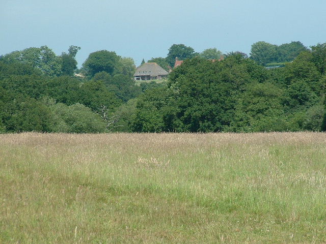
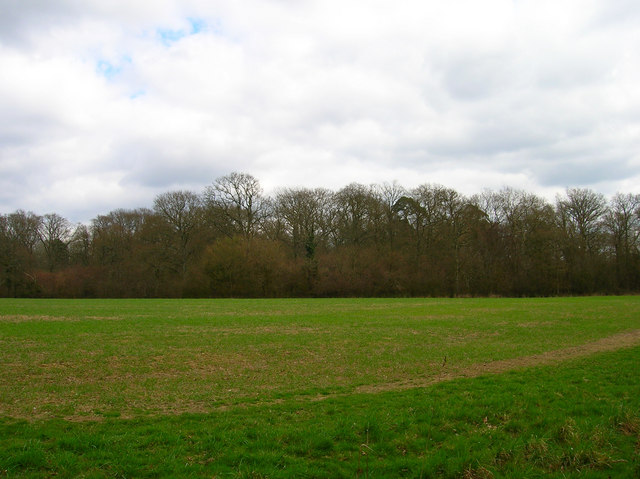
Clayland Copse is a picturesque woodland located in Sussex, England. Covering an area of approximately 50 hectares, it is known for its diverse range of tree species, tranquil atmosphere, and rich biodiversity.

The copse is primarily composed of broadleaf trees, including oak, beech, and ash, which create a dense canopy that provides shade and shelter for a variety of wildlife. The forest floor is covered in a thick layer of leaf litter, creating a haven for small mammals, insects, and fungi.

Visitors to Clayland Copse can enjoy a network of well-maintained walking trails that meander through the woodland. These paths offer breathtaking views of the surrounding countryside and provide an opportunity to explore the copse at a leisurely pace.

The copse is particularly popular among birdwatchers, as it is home to a wide range of avian species. Visitors may spot woodpeckers, nuthatches, and various types of warblers, among other bird species, while exploring the woodland.

Clayland Copse is also home to several rare and protected species, such as the hazel dormouse and the silver-washed fritillary butterfly. Conservation efforts have been put in place to protect these species and their habitats, making the copse an important site for biodiversity conservation in the region.

Overall, Clayland Copse offers a peaceful retreat for nature enthusiasts and provides a valuable habitat for a diverse array of flora and fauna. Its natural beauty and ecological significance make it a treasured woodland in the Sussex countryside.

If you have any feedback on the listing, please let us know in the comments section below.

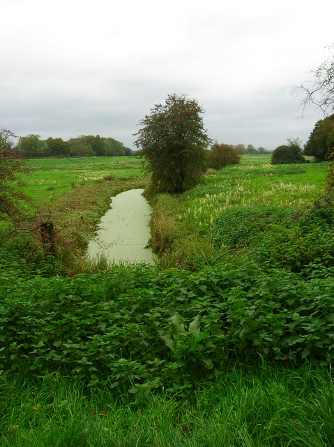
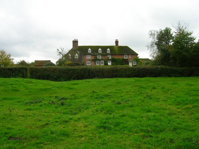
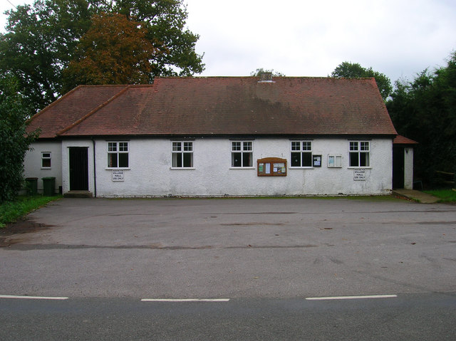
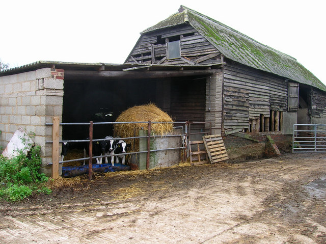
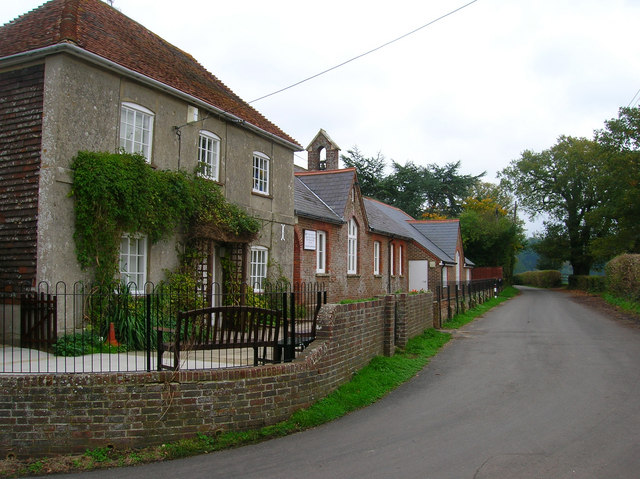
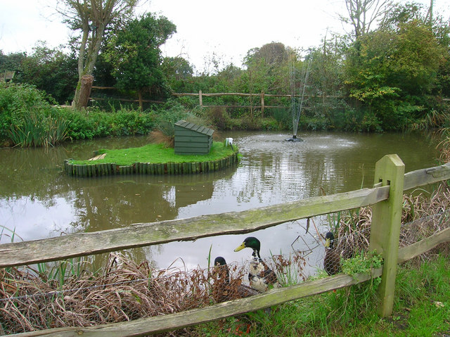
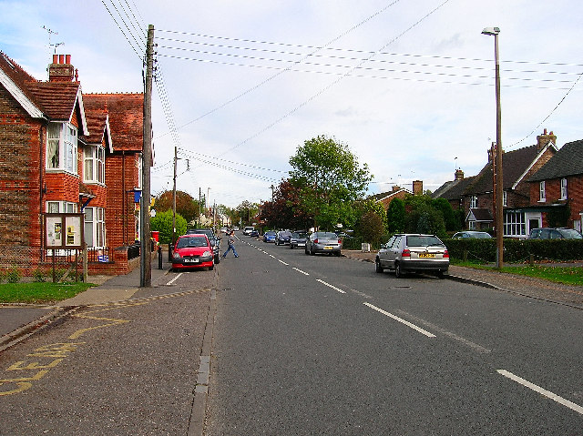
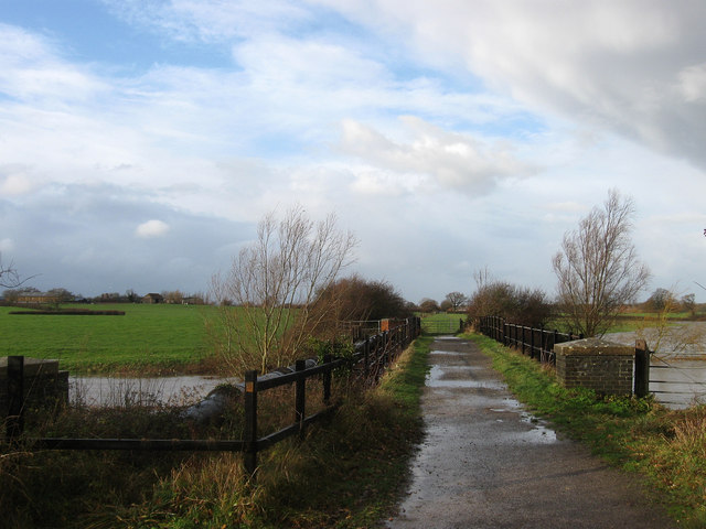
Clayland Copse Images

Images are sourced within 2km of 50.943189/-0.3278749 or Grid Reference TQ1717. Thanks to Geograph Open Source API. All images are credited.

Sweethill Farm and pastures Taken from South looking right across the gridsquare towards the farm.
Sweethill Farm and pastures
Taken from South looking right across the gridsquare towards the farm.
Pond, near Lloyts Farm If you follow the bridleway from east to west this is the first of four ponds that are to the north of the bridleway.
Pond, near Lloyts Farm
If you follow the bridleway from east to west this is the first of four ponds that are to the north of the bridleway.
Footbridge, Capite Wood Carrying the footpath that links Woodman's Farm to Buckells Farm
Footbridge, Capite Wood
Carrying the footpath that links Woodman's Farm to Buckells Farm
Field near Dalesdown School Chanctonbury Ring can be seen between the two trees to the right just above the less than bucolic flytipping area. Taken from the point where the footpath crosses the farm road.
Field near Dalesdown School
Chanctonbury Ring can be seen between the two trees to the right just above the less than bucolic flytipping area. Taken from the point where the footpath crosses the farm road.
Pot Common Potcommon Furzefield to the left, Soil Wood to the right. Taken from the bridleway.
Pot Common
Potcommon Furzefield to the left, Soil Wood to the right. Taken from the bridleway.
Smiley Face, Honeybridge Lane Painted sign next to the entrance of Dalesdown Educational Establishment.
Smiley Face, Honeybridge Lane
Painted sign next to the entrance of Dalesdown Educational Establishment.
Flat Dossers Known a few of them in my time! Taken from the bridleway.
Flat Dossers
Known a few of them in my time! Taken from the bridleway.
Entrance to Whitefoots Wheelie bin standing guard. This is the point where the bridleway turns shapely west.
Entrance to Whitefoots
Wheelie bin standing guard. This is the point where the bridleway turns shapely west.
Outbuildings, Honeybridge Farm Known as Starkers Farm on the 1940s map. Taken from the footpath that links Daylands Farm with Kings Barn Farm.
Outbuildings, Honeybridge Farm
Known as Starkers Farm on the 1940s map. Taken from the footpath that links Daylands Farm with Kings Barn Farm.
Eatons Bridge Footbridge over the River Adur with the South Downs on the horizon in the background.
Eatons Bridge
Footbridge over the River Adur with the South Downs on the horizon in the background.
Confluence of the two River Adurs Straight ahead is the western branch whilst the eastern branch heads off to the right.
Confluence of the two River Adurs
Straight ahead is the western branch whilst the eastern branch heads off to the right.
River Adur Flood Plain Taken from the footpath leading to Grays Farm and looking to the east of Eaton Bridge.
River Adur Flood Plain
Taken from the footpath leading to Grays Farm and looking to the east of Eaton Bridge.
Eatons Farm Taken from the footpath linking Eaton Bridge to Ashurst village. The other farm buildings are behind the farm house
Eatons Farm
Taken from the footpath linking Eaton Bridge to Ashurst village. The other farm buildings are behind the farm house
Ashurst Village Hall On the B2135 near the south west corner of the grid square.
Ashurst Village Hall
On the B2135 near the south west corner of the grid square.
Inquisitive Calves, Yokenclose Farm Noisy too, perhaps it was near feeding time.
Inquisitive Calves, Yokenclose Farm
Noisy too, perhaps it was near feeding time.
Ashurst County Primary School Built on the site of the old workhouse in 1872. The house adjoining the school building is older from the 18th century and may have been part of the workhouse. It was spared demolition for use as the masters house and is now the reception area for the school. The lane itself was once known as Workhouse Lane but was renamed School Lane.
Ashurst County Primary School
Built on the site of the old workhouse in 1872. The house adjoining the school building is older from the 18th century and may have been part of the workhouse. It was spared demolition for use as the masters house and is now the reception area for the school. The lane itself was once known as Workhouse Lane but was renamed School Lane.
The Fountain Inn, Ashurst 18th century inn once known as the Red Lion but has been the Fountain since the 1830s. Hilaire Belloc once enjoyed some good beer here in 1902 and waxed lyrical about it, whilst in 1979 Paul McCartney filmed the video for 'Wonderful Christmastime' inside.
The Fountain Inn, Ashurst
18th century inn once known as the Red Lion but has been the Fountain since the 1830s. Hilaire Belloc once enjoyed some good beer here in 1902 and waxed lyrical about it, whilst in 1979 Paul McCartney filmed the video for 'Wonderful Christmastime' inside.
Pub Ducks, Fountain Inn Small pond to the south of the inn is home to these ducks. Obviously used to being feed as the first thing they did when they viewed me was swim over to the fence and make plenty of noise.
Pub Ducks, Fountain Inn
Small pond to the south of the inn is home to these ducks. Obviously used to being feed as the first thing they did when they viewed me was swim over to the fence and make plenty of noise.
Show me another place!

Clayland Copse is located at Grid Ref: TQ1717 (Lat: 50.943189, Lng: -0.3278749)

Administrative County: West Sussex

District: Horsham

Police Authority: Sussex

What 3 Words

///lunges.described.variation. Near Ashurst, West Sussex

Related Wikis

St James's Church, Ashurst

St James's Church is a Church of England parish church in Ashurst, West Sussex. The church is a grade I listed building and it dates from the early 12th...

Bines Green

Bines Green is a hamlet in the Horsham District of West Sussex, England. It lies 1.9 miles (3.1 km) north west of Henfield on the B2135 road between Ashurst...

Fountain Inn, Ashurst

The Fountain Inn is a 16th-century public house in the village of Ashurst, in the Horsham district of West Sussex, England. After a period as a farmhouse...

Ashurst, West Sussex

Ashurst is a village and civil parish in the Horsham District of West Sussex, England, about 2 miles (3.2 km) west of Henfield, and 11 miles (18 km) south...

Partridge Green railway station

Partridge Green was a railway station on the Steyning Line which served the village of Partridge Green. The station closed as a result of the Beeching...

Partridge Green

Partridge Green is a village in the Horsham District of West Sussex, England. It lies on the B2135 road 2.5 miles (4 km) north-west of Henfield. It is...

Dark Star Brewing Company

Dark Star is a brewery in Partridge Green, Sussex, England. == History == Dark Star Brewery was established in 1994, brewing in the cellar of the Evening...

Betley Bridge

Betley Bridge is a disused railway bridge, now a rail trail bridge, which crosses the confluence of the East and West Adur rivers North of Henfield in...

Nearby Amenities

Located within 500m of 50.943189,-0.3278749
Power: pole
Lat/Long: 50.9464951/-0.3245306
Power: pole
Lat/Long: 50.9464257/-0.3245283
Power: pole
Lat/Long: 50.9457269/-0.3290269
Power: pole
Lat/Long: 50.9457933/-0.3290086
Power: pole
Lat/Long: 50.9459435/-0.3276313
Power: pole
Lat/Long: 50.9460041/-0.3276473
Power: pole
Lat/Long: 50.9455046/-0.3309267
Power: pole
Lat/Long: 50.9452125/-0.3327129
Power: pole
Lat/Long: 50.9451434/-0.3327262
Power: pole
Lat/Long: 50.9454396/-0.3309267
Power: pole
Lat/Long: 50.9448053/-0.3278442
Power: pole
Lat/Long: 50.9446145/-0.3270009
Power: pole
Lat/Long: 50.9444358/-0.3261626
Power: pole
Lat/Long: 50.9442928/-0.3281016
Power: pole
Lat/Long: 50.945273/-0.3278642
Power: pole
Lat/Long: 50.9461978/-0.3279194
Power: pole
Lat/Long: 50.9466455/-0.3279448
Power: pole
Lat/Long: 50.9473444/-0.3279788
Power: pole
Lat/Long: 50.9436524/-0.3284178
Power: pole
Lat/Long: 50.9429929/-0.3287673
Power: pole
Lat/Long: 50.9403266/-0.3258742
Power: pole
Lat/Long: 50.9399917/-0.3260369
Power: pole
Lat/Long: 50.9403054/-0.3280401
Power: pole
Lat/Long: 50.9405614/-0.3299455
Power: pole
Lat/Long: 50.9392725/-0.3307124
Power: pole
Lat/Long: 50.9399307/-0.3303334
Power: pole
Lat/Long: 50.9419191/-0.329265
Power: pole
Lat/Long: 50.942439/-0.3290182
Power: pole
Lat/Long: 50.9445841/-0.3215982
Power: pole
Lat/Long: 50.9456286/-0.3229856
Power: pole
Lat/Long: 50.9457128/-0.3245149
Power: pole
Lat/Long: 50.945074/-0.3259426
Ford Clappers
Place: locality
Lat/Long: 50.9466589/-0.3259047
Ford Farm
Place: farm
Lat/Long: 50.9413335/-0.3264703
Hemmicks
Place: isolated_dwelling
Lat/Long: 50.9444887/-0.3210798
The data included in this document is from www.openstreetmap.org. The data is made available under ODbL.

Have you been to Clayland Copse?

Leave your review of Clayland Copse below (or comments, questions and feedback).