Wappingthorn Wood

Wood, Forest in Sussex Horsham

England

Wappingthorn Wood

Rusty gate hinge
Rusty gate hinge Credit: Ian Cunliffe

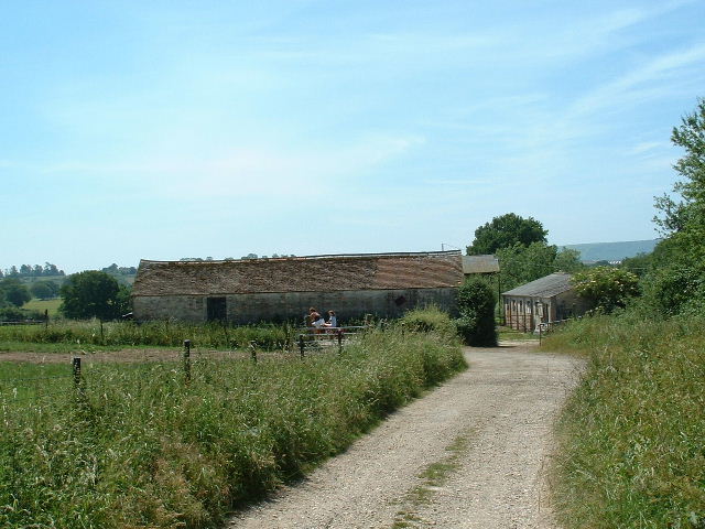
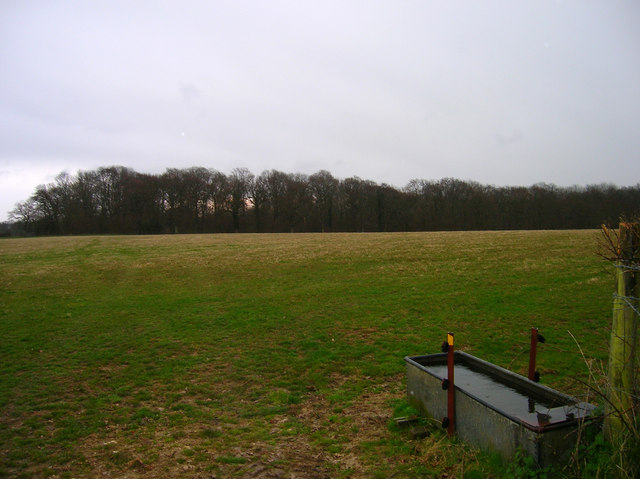
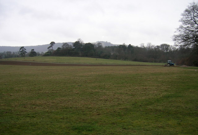
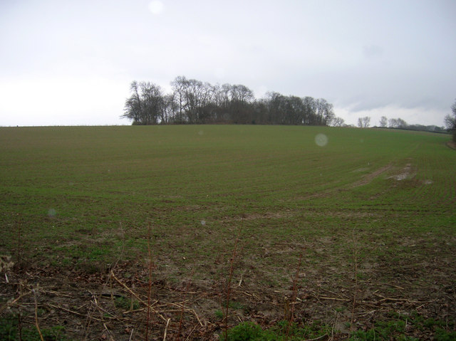
Wappingthorn Wood is a picturesque forest located in the county of Sussex, England. Covering an area of approximately 100 acres, it is renowned for its natural beauty, diverse wildlife, and tranquil atmosphere. The wood is nestled amidst rolling hills and is predominantly composed of ancient oak and beech trees, creating a dense canopy that allows only dappled sunlight to filter through to the forest floor.

The woodland is rich in biodiversity, boasting a wide range of flora and fauna. Bluebells carpet the forest floor in the spring, creating a stunning display of vibrant purple. Other notable plant species include wood anemones, primroses, and wild garlic. These provide a habitat for various animals, including deer, foxes, badgers, and a variety of bird species such as woodpeckers and owls.

Wappingthorn Wood is a popular destination for nature enthusiasts, hikers, and birdwatchers alike. The forest offers a network of well-maintained trails and footpaths that wind through the trees, allowing visitors to explore its hidden corners and discover its natural treasures. The peaceful ambiance of the wood makes it an ideal spot for those seeking solace and relaxation away from the hustle and bustle of everyday life.

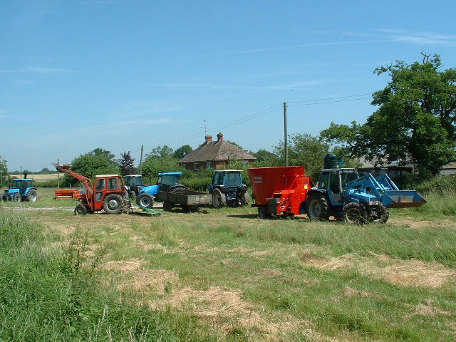
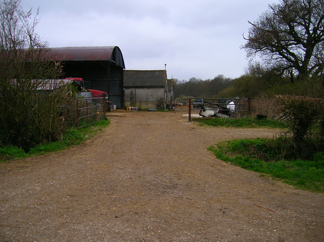
Managed by a local conservation organization, the wood is carefully preserved to protect its delicate ecosystem. Regular maintenance work, including tree planting and coppicing, ensures its continued health and vitality.

In conclusion, Wappingthorn Wood is a captivating forest in Sussex, offering visitors a chance to immerse themselves in nature and experience the tranquility of this enchanting woodland retreat.

If you have any feedback on the listing, please let us know in the comments section below.

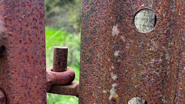
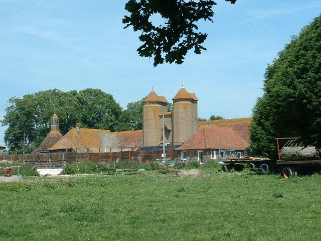
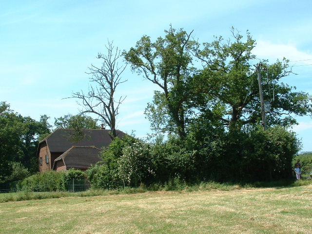
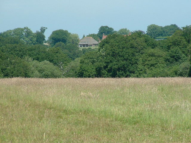
Wappingthorn Wood Images

Images are sourced within 2km of 50.913653/-0.33460962 or Grid Reference TQ1714. Thanks to Geograph Open Source API. All images are credited.

Rusty gate hinge
Rusty gate hinge
Alderwood Ponds Private fishing, at NE corner of square close to B2135.
Alderwood Ponds
Private fishing, at NE corner of square close to B2135.
Chanctondown House In NW corner of square close to B2135.
Chanctondown House
In NW corner of square close to B2135.
Wappingthorn Farm With its impressive barns and towers the farm is unmissable, close to the centre of the square.
Wappingthorn Farm
With its impressive barns and towers the farm is unmissable, close to the centre of the square.
Nutwood House and meadows Towards E of square where footpath crosses fields to reach road.
Nutwood House and meadows
Towards E of square where footpath crosses fields to reach road.
Sweethill Farm and pastures Taken from South looking right across the gridsquare towards the farm.
Sweethill Farm and pastures
Taken from South looking right across the gridsquare towards the farm.
Wyckam Farm Farmhouse, complete with swimming pool, and farm buildings near SE corner of square.
Wyckam Farm
Farmhouse, complete with swimming pool, and farm buildings near SE corner of square.
Northover Stables Sheds and stables near Northover farm, close to the middle of this gridsquare.
Northover Stables
Sheds and stables near Northover farm, close to the middle of this gridsquare.
Tractor Jam Nice collection of tractors outside New Wharf farm at Horsebridge Common on the West side of the square.
Tractor Jam
Nice collection of tractors outside New Wharf farm at Horsebridge Common on the West side of the square.
Small Hill near Furzfield Cottage Taken from Spithandle Lane path. The peak should have had Upper Barn on it but this did not appear to be either there or visible.
Small Hill near Furzfield Cottage
Taken from Spithandle Lane path. The peak should have had Upper Barn on it but this did not appear to be either there or visible.
Colour amid the gloom, Spithandle Copse Amongst the churned up mudbath that was Spithandle Lane was the odd bloom of spring flowers and shoots which make a lovely contrast to the murky browns elsewhere
Colour amid the gloom, Spithandle Copse
Amongst the churned up mudbath that was Spithandle Lane was the odd bloom of spring flowers and shoots which make a lovely contrast to the murky browns elsewhere
Spithandle Lane Spithandle Copse to the right, Spithandle Rough to the left. The road at the bottom left heads to College Wood Farm. The lane itself links Wiston to Horsebridge Common.
Spithandle Lane
Spithandle Copse to the right, Spithandle Rough to the left. The road at the bottom left heads to College Wood Farm. The lane itself links Wiston to Horsebridge Common.
Outbuildings, Guessgate Farm Taken from the footpath that links Spithandle Lane to the A283.
Outbuildings, Guessgate Farm
Taken from the footpath that links Spithandle Lane to the A283.
Loves Rough Taken from the footpath linking Spithandle Lane with the A283.
Loves Rough
Taken from the footpath linking Spithandle Lane with the A283.
Farmland near The Falconers Taken from the footpath that links Spithandle Lane with the A283. Chanctonbury Ring is in the middle distance.
Farmland near The Falconers
Taken from the footpath that links Spithandle Lane with the A283. Chanctonbury Ring is in the middle distance.
Cherrytree Rough Taken in the pouring rain from the footpath that heads towards Wappingthorn.
Cherrytree Rough
Taken in the pouring rain from the footpath that heads towards Wappingthorn.
Footbridge at Henfield The footbridge crosses a small stream that in 1km joins the river Adur.  The footbridge is safer than it looks as the carriageway is a cast iron 'plank'
Footbridge at Henfield
The footbridge crosses a small stream that in 1km joins the river Adur. The footbridge is safer than it looks as the carriageway is a cast iron 'plank'
Cistern Circular cistern, probably providing drinking water for cattle, approximately 3m in diameter.  Nearby are several conventional rectangular, galvanised cisterns.
Cistern
Circular cistern, probably providing drinking water for cattle, approximately 3m in diameter. Nearby are several conventional rectangular, galvanised cisterns.
Show me another place!

Wappingthorn Wood is located at Grid Ref: TQ1714 (Lat: 50.913653, Lng: -0.33460962)

Administrative County: West Sussex

District: Horsham

Police Authority: Sussex

What 3 Words

///vital.dent.shrub. Near Ashurst, West Sussex

Related Wikis

Ashurst, West Sussex

Ashurst is a village and civil parish in the Horsham District of West Sussex, England, about 2 miles (3.2 km) west of Henfield, and 11 miles (18 km) south...

Steyning Grammar School

Steyning Grammar School is a coeducational day and boarding, senior school and sixth form, located in Steyning, West Sussex, England. The school has two...

South Downs National Park

The South Downs National Park is England's newest national park, designated on 31 March 2010. The park, covering an area of 1,627 square kilometres (628...

Wiston House

Wiston House is a 16th-century Grade I listed building set in the South Downs National Park on the south coast of England, surrounded by over 6,000 acres...

Fountain Inn, Ashurst

The Fountain Inn is a 16th-century public house in the village of Ashurst, in the Horsham district of West Sussex, England. After a period as a farmhouse...

St James's Church, Ashurst

St James's Church is a Church of England parish church in Ashurst, West Sussex. The church is a grade I listed building and it dates from the early 12th...

Steyning Town F.C.

Steyning Town Community Football Club is a football club based in Steyning, West Sussex, England. The club is an FA Charter Standard community club,...

Buncton

Buncton () is a small village in the Horsham District of West Sussex, England, part of the civil parish of Wiston 0.5 miles (0.80 km) north. It lies to...

Nearby Amenities

Located within 500m of 50.913653,-0.33460962
Horsham Road
Naptan AtcoCode: 4400HR0795
Naptan Bearing: NE
Naptan BusStopType: CUS
Naptan CommonName: Horsham Road
Naptan Indicator: HAR
Naptan Landmark: Hail & Ride
Naptan NaptanCode: wsxdwjtj
Naptan Street: Horsham Road
Naptan Verified: no
Source: naptan_import
Lat/Long: 50.9136769/-0.3275573
Power: pole
Lat/Long: 50.9174682/-0.3346655
Power: pole
Lat/Long: 50.9167081/-0.3335352
Power: pole
Lat/Long: 50.9158499/-0.3321939
Power: pole
Lat/Long: 50.9150898/-0.3309733
Power: pole
Lat/Long: 50.9142758/-0.3297074
Power: pole
Lat/Long: 50.9133953/-0.3283159
Power: pole
Lat/Long: 50.91753/-0.3345725
Power: pole
Lat/Long: 50.9167651/-0.3334096
Power: pole
Lat/Long: 50.9159037/-0.3320633
Power: pole
Lat/Long: 50.9151404/-0.3308577
Power: pole
Lat/Long: 50.914336/-0.3295717
Power: pole
Lat/Long: 50.9134302/-0.3281551
Barrier: stile
Lat/Long: 50.9139457/-0.3390627
Barrier: stile
Lat/Long: 50.9141496/-0.3387964
Power: pole
Lat/Long: 50.9178006/-0.3360714
Power: pole
Lat/Long: 50.9178665/-0.3360369
The data included in this document is from www.openstreetmap.org. The data is made available under ODbL.

Have you been to Wappingthorn Wood?

Leave your review of Wappingthorn Wood below (or comments, questions and feedback).