Six Acre Copse
Wood, Forest in Sussex Horsham
England
Six Acre Copse
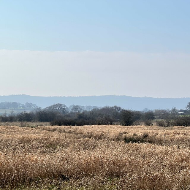
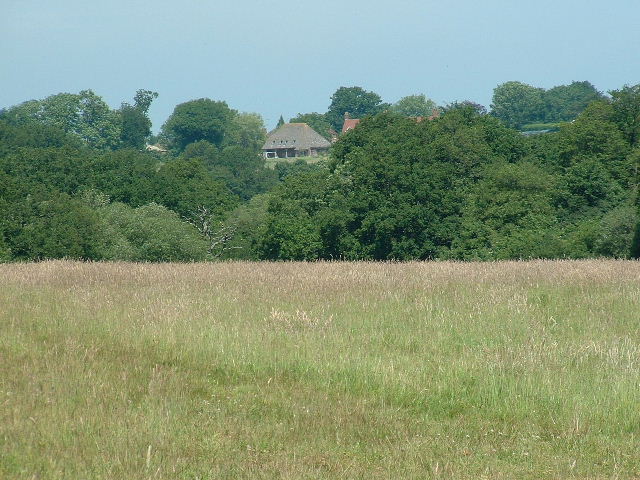
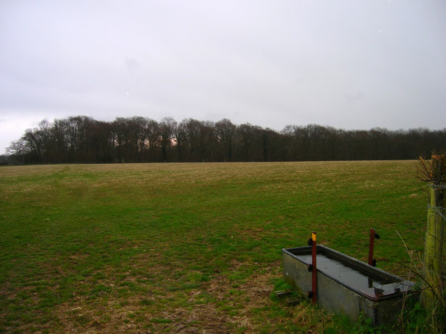
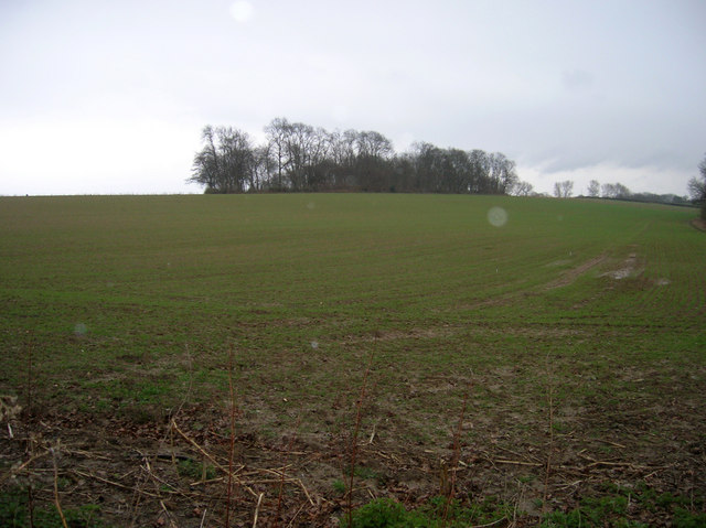
Six Acre Copse, located in Sussex, is a picturesque wood encompassing an area of approximately six acres. Nestled within the South Downs National Park, this forest boasts a diverse ecosystem and offers a serene and tranquil environment for visitors.
The copse is predominantly composed of native deciduous trees such as oak, ash, and beech, which provide a dense canopy that filters sunlight and creates a cool, shaded atmosphere. The undergrowth is lush and varied, with an abundance of ferns, mosses, and wildflowers that carpet the forest floor. This rich biodiversity attracts a wide array of wildlife, including deer, badgers, foxes, and a myriad of bird species.
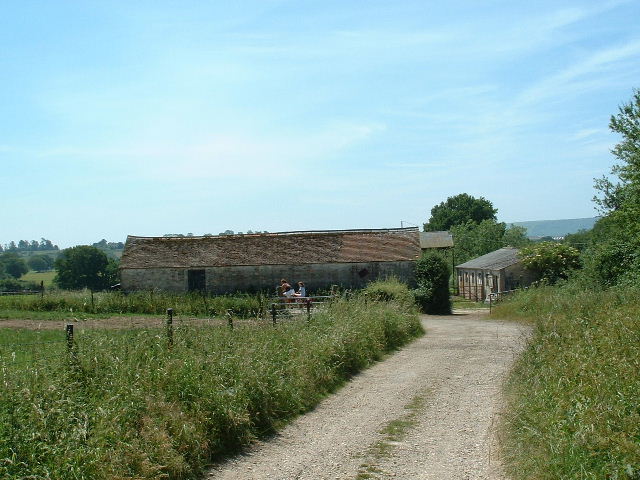
A network of well-maintained footpaths crisscrosses the wood, allowing visitors to explore its beauty at their leisure. These paths wind through the trees, revealing hidden clearings and secluded spots, perfect for a peaceful picnic or a moment of quiet reflection. The copse is also intersected by a small stream, which adds to the tranquility of the setting and provides a refreshing spot for woodland creatures and visitors alike.
Six Acre Copse is a popular destination for nature enthusiasts, hikers, and families seeking an escape from the hustle and bustle of everyday life. Its accessibility and natural beauty make it an ideal location for outdoor activities, such as nature walks, birdwatching, and photography. The copse offers a true sanctuary for those seeking solace in nature, providing a space to reconnect with the natural world and appreciate the wonders of the Sussex countryside.
If you have any feedback on the listing, please let us know in the comments section below.
Six Acre Copse Images
Images are sourced within 2km of 50.914762/-0.32478256 or Grid Reference TQ1714. Thanks to Geograph Open Source API. All images are credited.


Six Acre Copse is located at Grid Ref: TQ1714 (Lat: 50.914762, Lng: -0.32478256)
Administrative County: West Sussex
District: Horsham
Police Authority: Sussex
What 3 Words
///awaiting.morphing.drivers. Near Ashurst, West Sussex
Nearby Locations
Related Wikis

Ashurst, West Sussex
Ashurst is a village and civil parish in the Horsham District of West Sussex, England, about 2 miles (3.2 km) west of Henfield, and 11 miles (18 km) south...

Fountain Inn, Ashurst
The Fountain Inn is a 16th-century public house in the village of Ashurst, in the Horsham district of West Sussex, England. After a period as a farmhouse...

St James's Church, Ashurst
St James's Church is a Church of England parish church in Ashurst, West Sussex. The church is a grade I listed building and it dates from the early 12th...

Steyning Grammar School
Steyning Grammar School is a coeducational day and boarding, senior school and sixth form, located in Steyning, West Sussex, England. The school has two...
Steyning Town F.C.
Steyning Town Community Football Club is a football club based in Steyning, West Sussex, England. The club is an FA Charter Standard community club,...
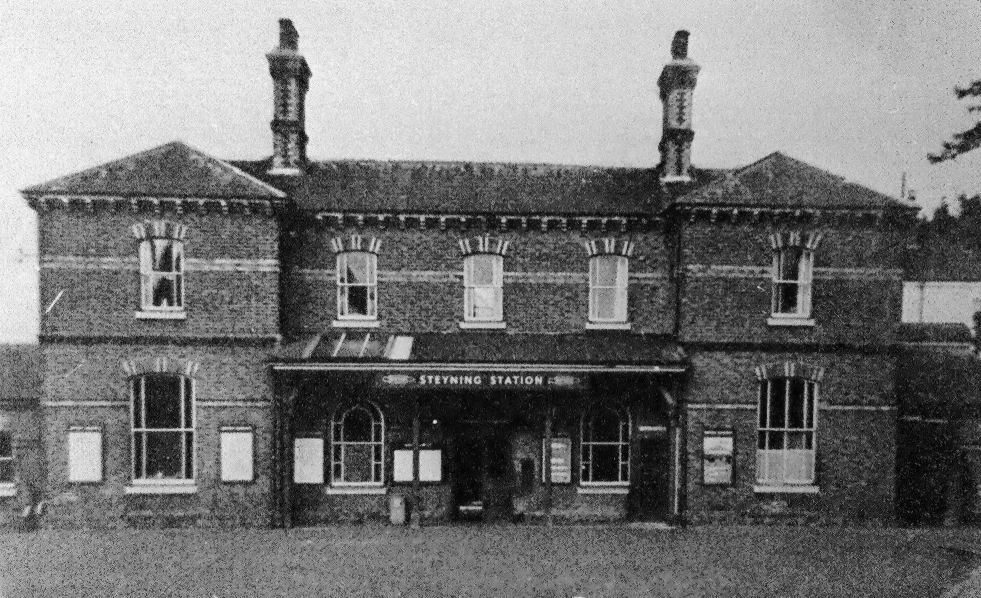
Steyning railway station
Steyning railway station was on the Steyning Line which served the small market town of Steyning. == Station opening and development == The arrival of...
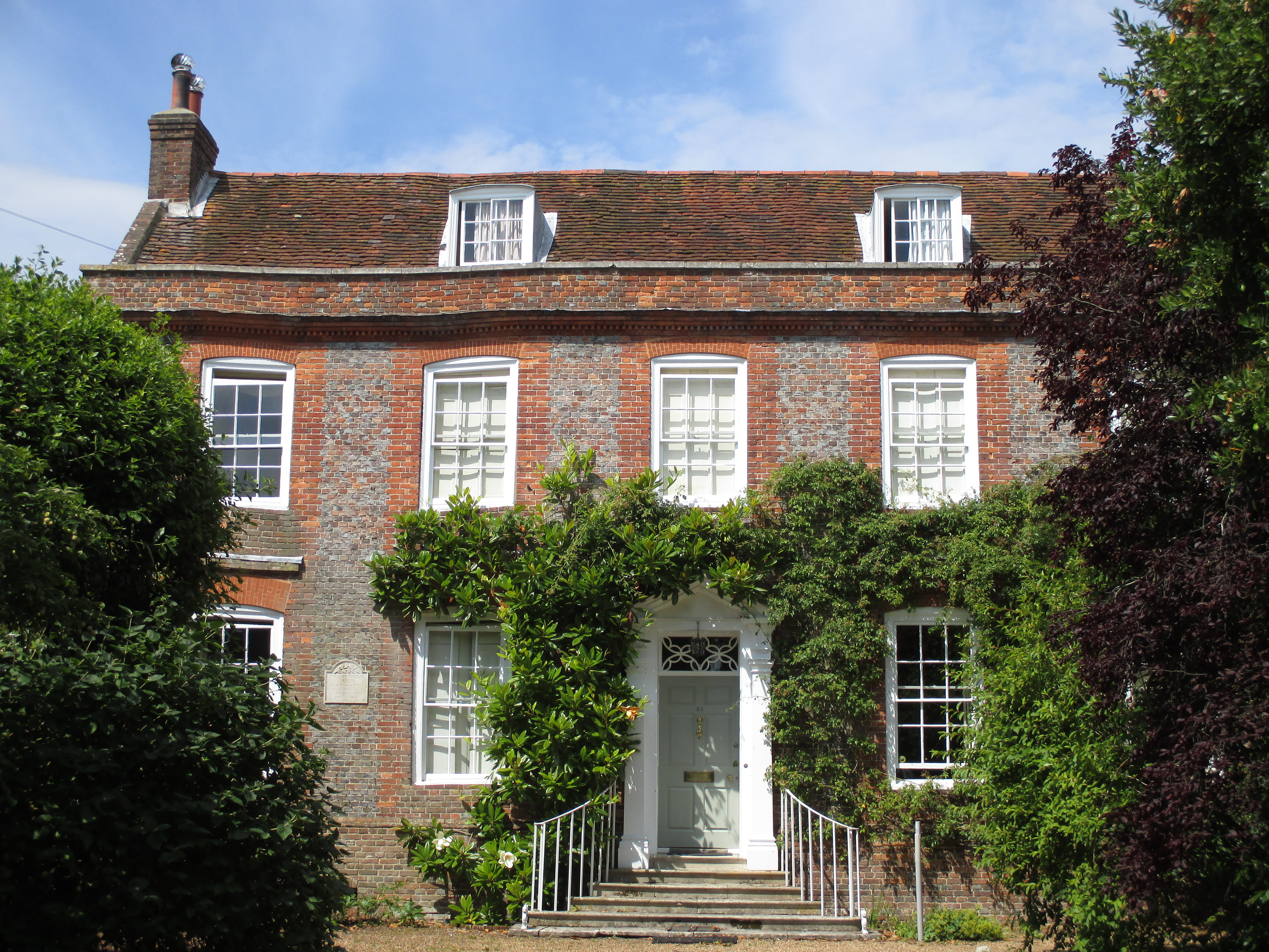
Chantry House, Steyning
The Chantry House is a house at 34 Church Street, Steyning, West Sussex, England It is a Grade II* listed building, built in the 18th century.There is...
Wiston House
Wiston House is a 16th-century Grade I listed building set in the South Downs National Park on the south coast of England, surrounded by over 6,000 acres...
Nearby Amenities
Located within 500m of 50.914762,-0.32478256Have you been to Six Acre Copse?
Leave your review of Six Acre Copse below (or comments, questions and feedback).