Baven's Wood

Wood, Forest in Sussex Horsham

England

Baven's Wood

Rusty gate hinge
Rusty gate hinge Credit: Ian Cunliffe

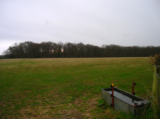
Baven's Wood is a picturesque forest located in Sussex, England. Covering an area of approximately 500 acres, it is a popular destination for nature enthusiasts and outdoor adventurers. The wood is situated near the village of Baven, giving it its name.

This ancient woodland is known for its diverse flora and fauna, offering a haven for wildlife. The forest is primarily composed of broadleaf trees, including oak, beech, and ash, which create a stunning canopy that filters sunlight and provides a tranquil environment. The woodland floor is adorned with a carpet of wildflowers, such as bluebells, primroses, and foxgloves, during the spring season.

Baven's Wood is crisscrossed by a network of well-maintained footpaths and trails, making it ideal for walking, hiking, and cycling. Visitors can explore the wood's numerous paths that wind through its enchanting surroundings, allowing them to discover hidden glades, babbling brooks, and tranquil ponds.

The forest also boasts a diverse range of wildlife, including deer, foxes, badgers, and a variety of bird species. It is a haven for birdwatchers, who can spot woodpeckers, owls, and other woodland birds in their natural habitat.

Baven's Wood is a haven for nature lovers, offering a serene and peaceful escape from the hustle and bustle of everyday life. Its natural beauty, rich biodiversity, and well-maintained trails make it a must-visit destination for anyone seeking solace in the heart of Sussex's countryside.

If you have any feedback on the listing, please let us know in the comments section below.
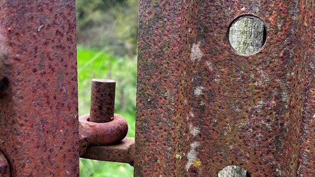
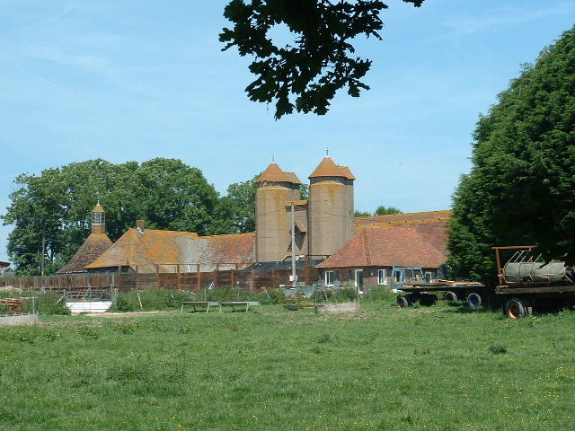
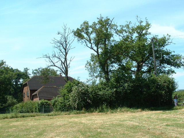
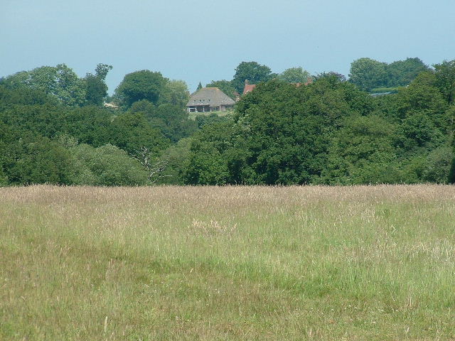
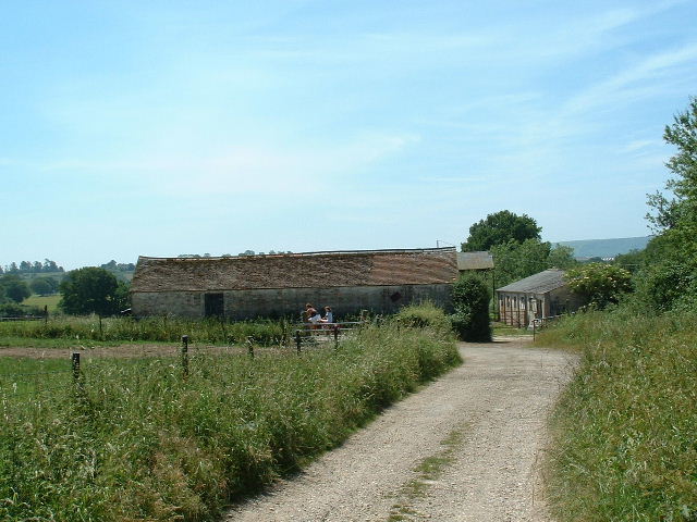
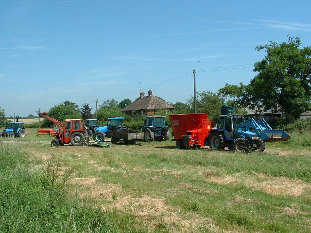
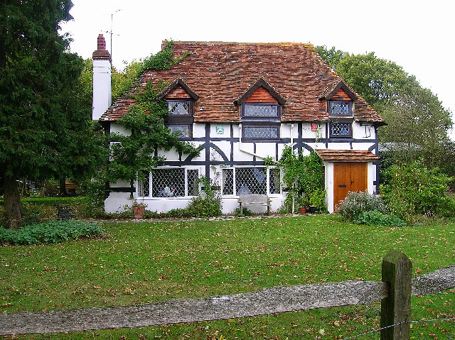
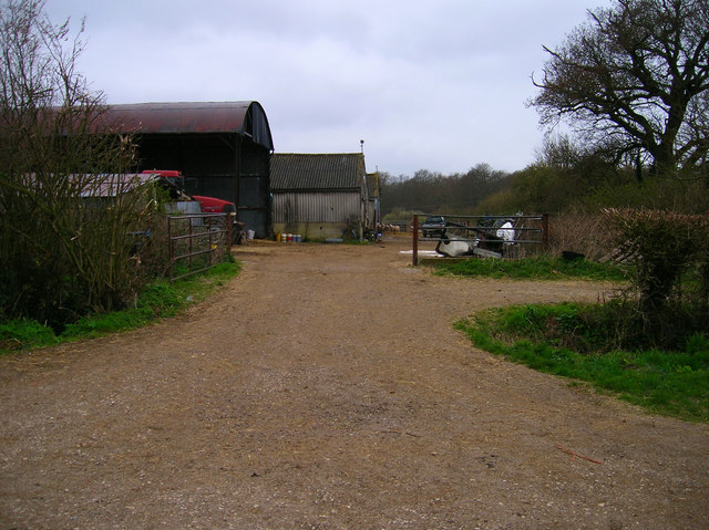
Baven's Wood Images

Images are sourced within 2km of 50.926667/-0.33468566 or Grid Reference TQ1715. Thanks to Geograph Open Source API. All images are credited.

Rusty gate hinge
Rusty gate hinge
Wappingthorn Farm With its impressive barns and towers the farm is unmissable, close to the centre of the square.
Wappingthorn Farm
With its impressive barns and towers the farm is unmissable, close to the centre of the square.
Nutwood House and meadows Towards E of square where footpath crosses fields to reach road.
Nutwood House and meadows
Towards E of square where footpath crosses fields to reach road.
Sweethill Farm and pastures Taken from South looking right across the gridsquare towards the farm.
Sweethill Farm and pastures
Taken from South looking right across the gridsquare towards the farm.
Northover Stables Sheds and stables near Northover farm, close to the middle of this gridsquare.
Northover Stables
Sheds and stables near Northover farm, close to the middle of this gridsquare.
Tractor Jam Nice collection of tractors outside New Wharf farm at Horsebridge Common on the West side of the square.
Tractor Jam
Nice collection of tractors outside New Wharf farm at Horsebridge Common on the West side of the square.
Canons, Hollands Lane, Henfield Looking north.
Canons, Hollands Lane, Henfield
Looking north.
Outbuildings, Honeybridge Farm Known as Starkers Farm on the 1940s map. Taken from the footpath that links Daylands Farm with Kings Barn Farm.
Outbuildings, Honeybridge Farm
Known as Starkers Farm on the 1940s map. Taken from the footpath that links Daylands Farm with Kings Barn Farm.
Field, Jessops Farm Taken from the footpath that goes through the farm.
Field, Jessops Farm
Taken from the footpath that goes through the farm.
Footpath, Jack O'Lantern Wood This is one of the better ones too!
Footpath, Jack O'Lantern Wood
This is one of the better ones too!
The route to Hawking Sopers Common Copse is to the right and those rainclouds were heading my way.
The route to Hawking Sopers
Common Copse is to the right and those rainclouds were heading my way.
Dying Deer, near Jessops Farm On the footpath that heads south from the farm. Both back legs seemed to be gone. Not much I could do I'm afraid.
Dying Deer, near Jessops Farm
On the footpath that heads south from the farm. Both back legs seemed to be gone. Not much I could do I'm afraid.
Small Hill near Furzfield Cottage Taken from Spithandle Lane path. The peak should have had Upper Barn on it but this did not appear to be either there or visible.
Small Hill near Furzfield Cottage
Taken from Spithandle Lane path. The peak should have had Upper Barn on it but this did not appear to be either there or visible.
Colour amid the gloom, Spithandle Copse Amongst the churned up mudbath that was Spithandle Lane was the odd bloom of spring flowers and shoots which make a lovely contrast to the murky browns elsewhere
Colour amid the gloom, Spithandle Copse
Amongst the churned up mudbath that was Spithandle Lane was the odd bloom of spring flowers and shoots which make a lovely contrast to the murky browns elsewhere
Spithandle Lane Spithandle Copse to the right, Spithandle Rough to the left. The road at the bottom left heads to College Wood Farm. The lane itself links Wiston to Horsebridge Common.
Spithandle Lane
Spithandle Copse to the right, Spithandle Rough to the left. The road at the bottom left heads to College Wood Farm. The lane itself links Wiston to Horsebridge Common.
Outbuildings, Guessgate Farm Taken from the footpath that links Spithandle Lane to the A283.
Outbuildings, Guessgate Farm
Taken from the footpath that links Spithandle Lane to the A283.
Loves Rough Taken from the footpath linking Spithandle Lane with the A283.
Loves Rough
Taken from the footpath linking Spithandle Lane with the A283.
Eatons Bridge Footbridge over the River Adur with the South Downs on the horizon in the background.
Eatons Bridge
Footbridge over the River Adur with the South Downs on the horizon in the background.
Show me another place!

Baven's Wood is located at Grid Ref: TQ1715 (Lat: 50.926667, Lng: -0.33468566)

Administrative County: West Sussex

District: Horsham

Police Authority: Sussex

What 3 Words

///safety.breakaway.large. Near Ashurst, West Sussex

Related Wikis

Ashurst, West Sussex

Ashurst is a village and civil parish in the Horsham District of West Sussex, England, about 2 miles (3.2 km) west of Henfield, and 11 miles (18 km) south...

St James's Church, Ashurst

St James's Church is a Church of England parish church in Ashurst, West Sussex. The church is a grade I listed building and it dates from the early 12th...

Fountain Inn, Ashurst

The Fountain Inn is a 16th-century public house in the village of Ashurst, in the Horsham district of West Sussex, England. After a period as a farmhouse...

Bines Green

Bines Green is a hamlet in the Horsham District of West Sussex, England. It lies 1.9 miles (3.1 km) north west of Henfield on the B2135 road between Ashurst...

South Downs National Park

The South Downs National Park is England's newest national park, designated on 31 March 2010. The park, covering an area of 1,627 square kilometres (628...

Wiston, West Sussex

Wiston is a scattered village and civil parish in the Horsham District of West Sussex, England. It lies on the A283 road 2.8 miles (4.5 km) northwest of...

Buncton

Buncton () is a small village in the Horsham District of West Sussex, England, part of the civil parish of Wiston 0.5 miles (0.80 km) north. It lies to...

All Saints Church, Buncton

All Saints Church is an Anglican church in the hamlet of Buncton in the district of Horsham, one of seven local government districts in the English county...

Nearby Amenities

Located within 500m of 50.926667,-0.33468566
Barrier: kissing_gate
Lat/Long: 50.9266437/-0.3385657
Power: pole
Lat/Long: 50.9299363/-0.3317374
Power: pole
Lat/Long: 50.9288384/-0.3322117
Power: pole
Lat/Long: 50.9268311/-0.3330635
The data included in this document is from www.openstreetmap.org. The data is made available under ODbL.

Have you been to Baven's Wood?

Leave your review of Baven's Wood below (or comments, questions and feedback).