Whitehall Wood

Wood, Forest in Hertfordshire North Hertfordshire

England

Whitehall Wood

The Red Lion, Preston
The Red Lion, Preston Credit: David Howard

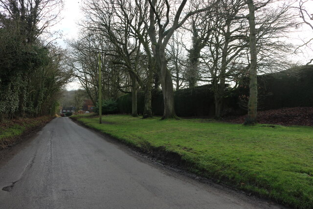
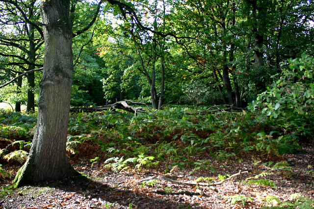
Whitehall Wood is a picturesque woodland located in the county of Hertfordshire, England. Covering an area of approximately 100 acres, this woodland boasts a rich biodiversity and serves as a haven for various flora and fauna species.

The wood is primarily composed of oak, beech, and birch trees, which create a dense canopy providing shade and shelter for the diverse range of plant life that thrives beneath. Bluebells, primroses, and foxgloves are just a few examples of the vibrant wildflowers that carpet the forest floor during springtime, creating a stunning display of colors.

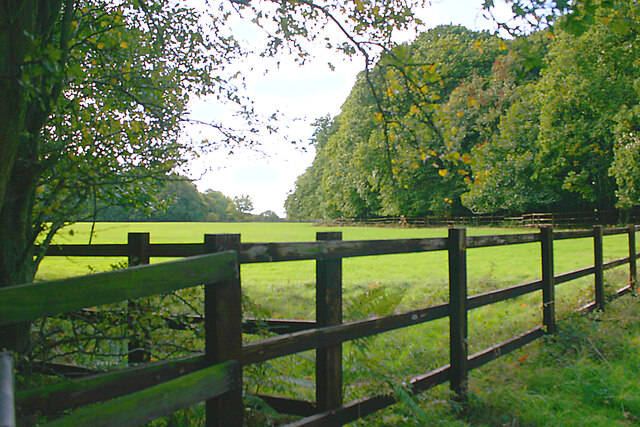
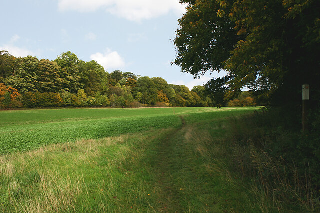
Whitehall Wood is not only a treat for nature enthusiasts but also a popular destination for hikers and walkers. There are several well-maintained trails that wind through the woodland, offering visitors the opportunity to explore its beauty at their own pace. The trails meander through ancient groves and alongside a charming babbling brook, providing a tranquil and serene experience.

The wood is also home to a variety of wildlife, including deer, rabbits, badgers, and a multitude of bird species. Birdwatchers will be delighted by the chance to spot woodpeckers, owls, and even the occasional red kite soaring overhead.

Whitehall Wood is a true natural gem in Hertfordshire, offering a peaceful retreat from the hustle and bustle of everyday life. Whether you are looking to reconnect with nature, embark on an outdoor adventure, or simply enjoy a peaceful stroll, this woodland is a must-visit destination.

If you have any feedback on the listing, please let us know in the comments section below.

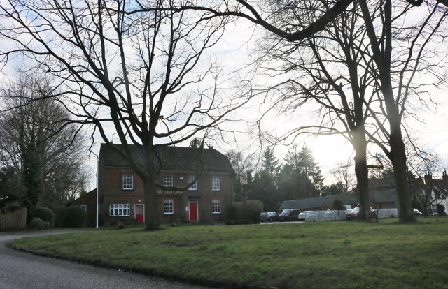
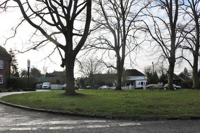
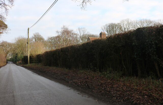
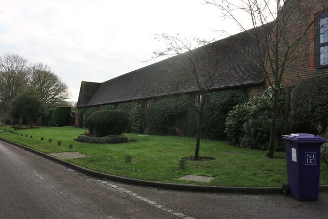
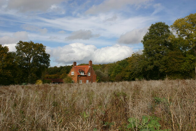
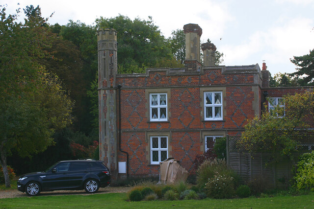
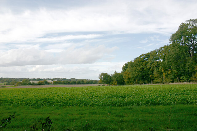
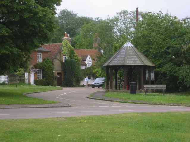
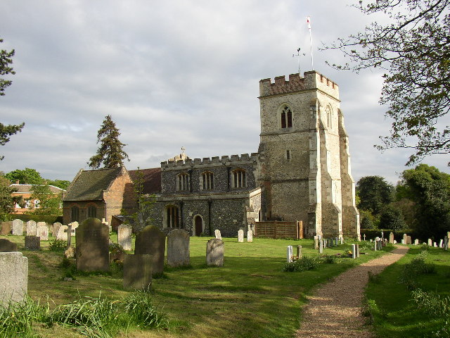
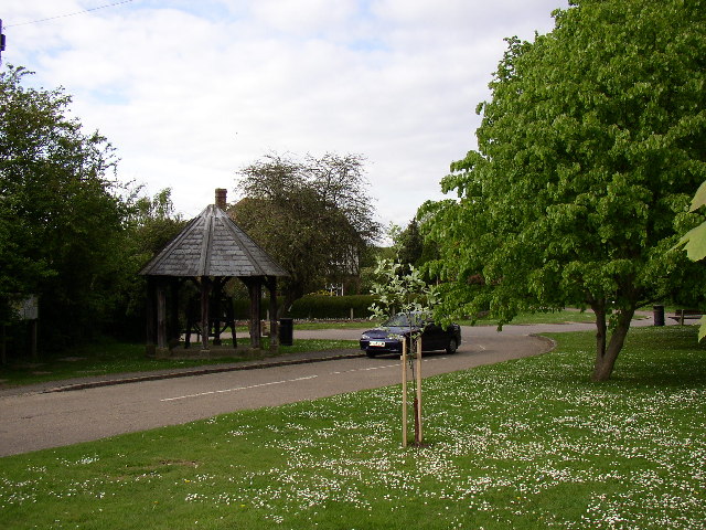
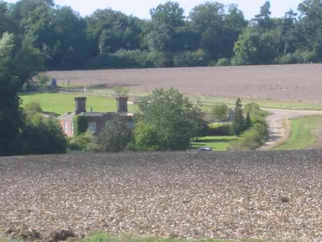
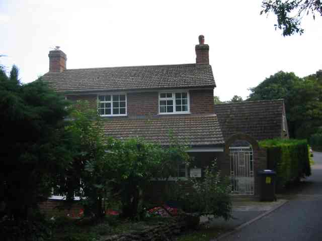
Whitehall Wood Images

Images are sourced within 2km of 51.899732/-0.29899193 or Grid Reference TL1723. Thanks to Geograph Open Source API. All images are credited.

The Red Lion, Preston
The green in Preston
School Lane, Preston
Ladygrove cottages, Preston
Hitchwood Lane, Preston
Reservoir near Preston (Herts) As seen from the east.
Reservoir near Preston (Herts)
As seen from the east.
Lady Grove, Preston (Herts) 'Lady Grove' appears twice on the OS map and seems to indicate two areas of woodland separated by an area of grassland. This picture shows the northern part of the wood.
Lady Grove, Preston (Herts)
'Lady Grove' appears twice on the OS map and seems to indicate two areas of woodland separated by an area of grassland. This picture shows the northern part of the wood.
Lady Grove, Preston (Herts) 'Lady Grove' appears twice on the OS map and seems to indicate two areas of woodland separated by an area of grassland. This image shows the latter with the northern part of the wood seen on the right and the southern part on the left.
Lady Grove, Preston (Herts)
'Lady Grove' appears twice on the OS map and seems to indicate two areas of woodland separated by an area of grassland. This image shows the latter with the northern part of the wood seen on the right and the southern part on the left.
Farmland between woods near Preston (Herts) The Firs is left and Pinfold Wood right.
Farmland between woods near Preston (Herts)
The Firs is left and Pinfold Wood right.
Pinfold Cottage, Stagenhoe Park, St Paul's Walden Not much has changed here since <a href="https://www.geograph.org.uk/photo/518926">TL1823 : Cottage between Pinfold Wood and Foxholes Wood</a> was taken and the same observations still apply.
Pinfold Cottage, Stagenhoe Park, St Paul's Walden
Not much has changed here since TL1823 : Cottage between Pinfold Wood and Foxholes Wood was taken and the same observations still apply.
The Dower House, Stagenhoe Park, St Paul's Walden Referred to in the list of Listed Buildings as "Pair of gardeners houses, now one house. Mid C19. Red brick with black brick diapering and patterns, castellated Neo-Tudor style with stucco dressings".
The Dower House, Stagenhoe Park, St Paul's Walden
Referred to in the list of Listed Buildings as "Pair of gardeners houses, now one house. Mid C19. Red brick with black brick diapering and patterns, castellated Neo-Tudor style with stucco dressings".
Farmland adjacent to Foxholes Wood, St Paul's Walden Foxholes Wood is to the right with Hearnsfield Wood in the middle distance.
Farmland adjacent to Foxholes Wood, St Paul's Walden
Foxholes Wood is to the right with Hearnsfield Wood in the middle distance.
Wain Wood, Preston, Hertfordshire This wood is carpeted with bluebells every April
Wain Wood, Preston, Hertfordshire
This wood is carpeted with bluebells every April
Preston village Rather a pleasant bus stop shelter.
Preston village
Rather a pleasant bus stop shelter.
King's Walden Church This church is on the edge of parkland.  It is a large church serving dispersed settlements rather than a village.
King's Walden Church
This church is on the edge of parkland. It is a large church serving dispersed settlements rather than a village.
The green at Preston In the little building there is an elaborate system of gearwheels, shown in <a href="https://www.geograph.org.uk/photo/89403">TL1824 : The well at Preston</a>.
The green at Preston
In the little building there is an elaborate system of gearwheels, shown in TL1824 : The well at Preston.
Stagenhoe Park at St Paul's Walden The house is approached by a private road. I believe it was once a nursing home but there are no signs to this effect.

Update 2022: This view is actually of the Dower House <a href="https://www.geograph.org.uk/photo/7316788">TL1822 : The Dower House, Stagenhoe Park, St Paul's Walden</a>.
Stagenhoe Park at St Paul's Walden
The house is approached by a private road. I believe it was once a nursing home but there are no signs to this effect. Update 2022: This view is actually of the Dower House TL1822 : The Dower House, Stagenhoe Park, St Paul's Walden.
Cottage  in lane leading to Preston Having taken the photo I felt obliged to submit it.
Cottage in lane leading to Preston
Having taken the photo I felt obliged to submit it.
Show me another place!

Whitehall Wood is located at Grid Ref: TL1723 (Lat: 51.899732, Lng: -0.29899193)

Administrative County: Hertfordshire

District: North Hertfordshire

Police Authority: Hertfordshire

What 3 Words

///hothouse.graver.sunk. Near Kimpton, Hertfordshire

Nearby Locations

Whitehall Wood Cedar Wood

Related Wikis

Preston, Hertfordshire

Preston is a village and civil parish about 3 miles (4.8 km) south of Hitchin in Hertfordshire, England. At the 2011 Census the population was 420.The...

Princess Helena College

PHC was a co-educational independent day and boarding school for students aged 11 to 18 in Preston near Hitchin in Hertfordshire, England. The school was...

Stagenhoe

Stagenhoe is a Grade II listed stately home and surrounding gardens located in the village of St Paul's Walden in Hertfordshire. It is approximately 6...

Wain Wood

Wain Wood is an ancient woodland extending to 19.2 hectares (47 acres) near Preston in North Hertfordshire. The site is a Site of Special Scientific Interest...

Bendish

Bendish is a hamlet located in the parish of St Paul's Walden in Hertfordshire. In the 18th century, Bendish was a small town. It is about 3 miles east...

Breachwood Green Mill, King's Walden

Breachwood Green Mill is a Grade II listed tower mill at King's Walden, Hertfordshire, England which has been converted to residential accommodation....

King's Walden

King's Walden is a civil parish in the English county of Hertfordshire. The name includes an apostrophe, but this is often omitted. The main settlement...

St Paul's Walden Bury

St. Paul's Walden Bury is an English country house and surrounding gardens in the village of St Paul's Walden in Hertfordshire. The house is a Grade II...

Nearby Amenities

Located within 500m of 51.899732,-0.29899193
Odbl: clean
Lat/Long: 51.8996549/-0.3036759
Odbl: clean
Lat/Long: 51.8973654/-0.3016747
Whitehall Farm
Source: NPE
Lat/Long: 51.8977921/-0.3021892
Note: signpost marks northern route as a BOAT
Lat/Long: 51.9005489/-0.3041774
Odbl: clean
Lat/Long: 51.9005557/-0.3044447
Odbl: clean
Lat/Long: 51.901373/-0.3042029
Post Box
Post Box Type: lamp
Ref: SG4 113
Lat/Long: 51.897614/-0.302957
Barrier: kissing_gate
Lat/Long: 51.897834/-0.3040505
The data included in this document is from www.openstreetmap.org. The data is made available under ODbL.

Have you been to Whitehall Wood?

Leave your review of Whitehall Wood below (or comments, questions and feedback).