Lowerbarn Wood

Wood, Forest in Sussex Horsham

England

Lowerbarn Wood

Rusty gate hinge
Rusty gate hinge Credit: Ian Cunliffe

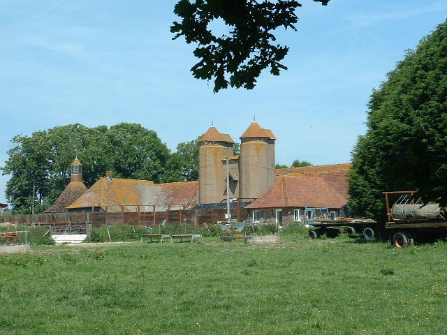
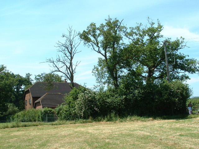
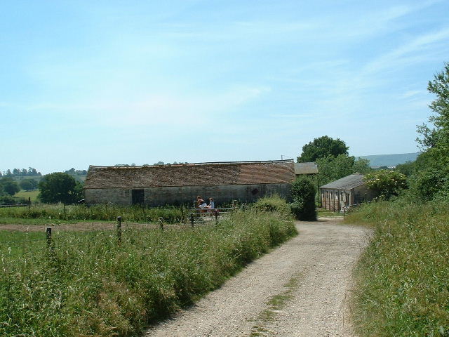
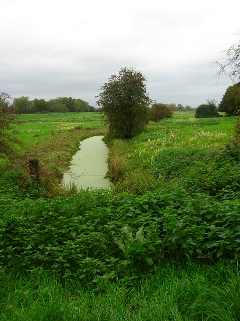
Lowerbarn Wood is a picturesque woodland located in the county of Sussex, England. Covering an area of approximately 30 hectares, this enchanting forest is a popular destination for nature lovers and outdoor enthusiasts. Situated near the village of Lowerbarn, the wood offers a tranquil escape from the hustle and bustle of city life.

The wood is characterized by a diverse range of tree species, including oak, beech, ash, and birch. These towering trees create a dense canopy that provides shade and shelter for a variety of wildlife. Visitors can expect to encounter an array of birds, such as woodpeckers, thrushes, and tits, as well as small mammals like squirrels and rabbits.

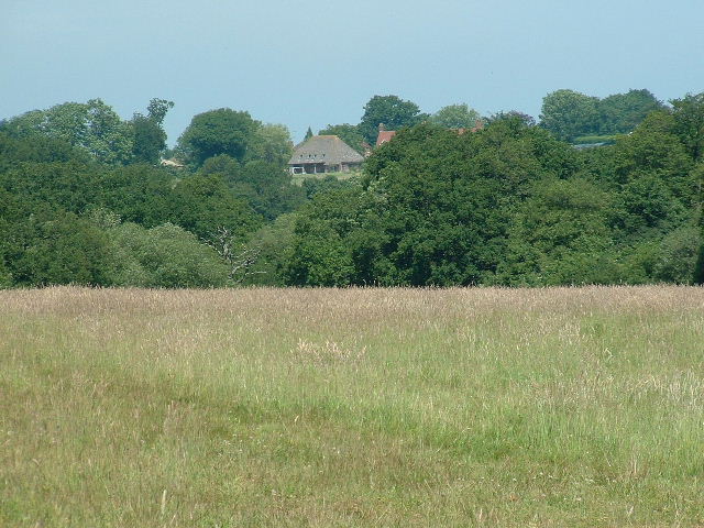
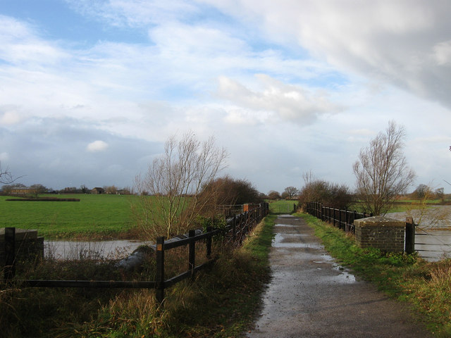
Lowerbarn Wood features several well-maintained walking trails, allowing visitors to explore its natural beauty. These paths wind through the woodland, offering stunning views of the surrounding landscape. The wood is particularly famous for its vibrant displays of bluebells in the spring, attracting visitors from far and wide.

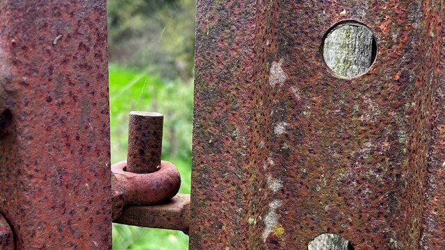
In addition to its natural beauty, Lowerbarn Wood also has historical significance. The wood is believed to have been part of a larger forest that covered much of Sussex during the medieval period. Remnants of ancient earthworks and ditches can still be found within the woodland, providing clues to its past.

Overall, Lowerbarn Wood is a captivating destination that offers a peaceful and immersive experience in nature. Whether it's for a leisurely walk, birdwatching, or simply enjoying the serenity of the forest, this wood has something to offer for everyone.

If you have any feedback on the listing, please let us know in the comments section below.

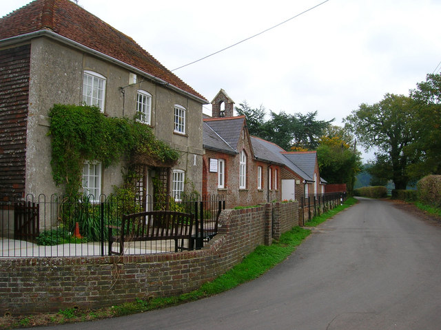
Lowerbarn Wood Images

Images are sourced within 2km of 50.925543/-0.3252349 or Grid Reference TQ1715. Thanks to Geograph Open Source API. All images are credited.

Rusty gate hinge
Rusty gate hinge
Wappingthorn Farm With its impressive barns and towers the farm is unmissable, close to the centre of the square.
Wappingthorn Farm
With its impressive barns and towers the farm is unmissable, close to the centre of the square.
Nutwood House and meadows Towards E of square where footpath crosses fields to reach road.
Nutwood House and meadows
Towards E of square where footpath crosses fields to reach road.
Sweethill Farm and pastures Taken from South looking right across the gridsquare towards the farm.
Sweethill Farm and pastures
Taken from South looking right across the gridsquare towards the farm.
Wyckam Farm Farmhouse, complete with swimming pool, and farm buildings near SE corner of square.
Wyckam Farm
Farmhouse, complete with swimming pool, and farm buildings near SE corner of square.
Northover Stables Sheds and stables near Northover farm, close to the middle of this gridsquare.
Northover Stables
Sheds and stables near Northover farm, close to the middle of this gridsquare.
Tractor Jam Nice collection of tractors outside New Wharf farm at Horsebridge Common on the West side of the square.
Tractor Jam
Nice collection of tractors outside New Wharf farm at Horsebridge Common on the West side of the square.
Adur Water Meadows Water meadows near the centre of the square.
Adur Water Meadows
Water meadows near the centre of the square.
Canons, Hollands Lane, Henfield Looking north.
Canons, Hollands Lane, Henfield
Looking north.
Small Hill near Furzfield Cottage Taken from Spithandle Lane path. The peak should have had Upper Barn on it but this did not appear to be either there or visible.
Small Hill near Furzfield Cottage
Taken from Spithandle Lane path. The peak should have had Upper Barn on it but this did not appear to be either there or visible.
Colour amid the gloom, Spithandle Copse Amongst the churned up mudbath that was Spithandle Lane was the odd bloom of spring flowers and shoots which make a lovely contrast to the murky browns elsewhere
Colour amid the gloom, Spithandle Copse
Amongst the churned up mudbath that was Spithandle Lane was the odd bloom of spring flowers and shoots which make a lovely contrast to the murky browns elsewhere
Spithandle Lane Spithandle Copse to the right, Spithandle Rough to the left. The road at the bottom left heads to College Wood Farm. The lane itself links Wiston to Horsebridge Common.
Spithandle Lane
Spithandle Copse to the right, Spithandle Rough to the left. The road at the bottom left heads to College Wood Farm. The lane itself links Wiston to Horsebridge Common.
Eatons Bridge Footbridge over the River Adur with the South Downs on the horizon in the background.
Eatons Bridge
Footbridge over the River Adur with the South Downs on the horizon in the background.
River Adur Flood Plain Taken from the footpath leading to Grays Farm and looking to the east of Eaton Bridge.
River Adur Flood Plain
Taken from the footpath leading to Grays Farm and looking to the east of Eaton Bridge.
Eatons Farm Taken from the footpath linking Eaton Bridge to Ashurst village. The other farm buildings are behind the farm house
Eatons Farm
Taken from the footpath linking Eaton Bridge to Ashurst village. The other farm buildings are behind the farm house
Ashurst Village Hall On the B2135 near the south west corner of the grid square.
Ashurst Village Hall
On the B2135 near the south west corner of the grid square.
Inquisitive Calves, Yokenclose Farm Noisy too, perhaps it was near feeding time.
Inquisitive Calves, Yokenclose Farm
Noisy too, perhaps it was near feeding time.
Ashurst County Primary School Built on the site of the old workhouse in 1872. The house adjoining the school building is older from the 18th century and may have been part of the workhouse. It was spared demolition for use as the masters house and is now the reception area for the school. The lane itself was once known as Workhouse Lane but was renamed School Lane.
Ashurst County Primary School
Built on the site of the old workhouse in 1872. The house adjoining the school building is older from the 18th century and may have been part of the workhouse. It was spared demolition for use as the masters house and is now the reception area for the school. The lane itself was once known as Workhouse Lane but was renamed School Lane.
Show me another place!

Lowerbarn Wood is located at Grid Ref: TQ1715 (Lat: 50.925543, Lng: -0.3252349)

Administrative County: West Sussex

District: Horsham

Police Authority: Sussex

What 3 Words

///table.shocked.hound. Near Ashurst, West Sussex

Related Wikis

Ashurst, West Sussex

Ashurst is a village and civil parish in the Horsham District of West Sussex, England, about 2 miles (3.2 km) west of Henfield, and 11 miles (18 km) south...

Fountain Inn, Ashurst

The Fountain Inn is a 16th-century public house in the village of Ashurst, in the Horsham district of West Sussex, England. After a period as a farmhouse...

St James's Church, Ashurst

St James's Church is a Church of England parish church in Ashurst, West Sussex. The church is a grade I listed building and it dates from the early 12th...

Bines Green

Bines Green is a hamlet in the Horsham District of West Sussex, England. It lies 1.9 miles (3.1 km) north west of Henfield on the B2135 road between Ashurst...

Henfield railway station

Henfield was a railway station on the Steyning Line which served the village of Henfield. It was equipped with a siding which received coal to serve the...

Betley Bridge

Betley Bridge is a disused railway bridge, now a rail trail bridge, which crosses the confluence of the East and West Adur rivers North of Henfield in...

South Downs National Park

The South Downs National Park is England's newest national park, designated on 31 March 2010. The park, covering an area of 1,627 square kilometres (628...

Henfield

Henfield is a large village and civil parish in the Horsham District of West Sussex, England. It lies 41 miles (66 km) south of London, 12 miles (19 km...

Nearby Amenities

Located within 500m of 50.925543,-0.3252349
Horsham Road
Naptan AtcoCode: 4400HR0799
Naptan Bearing: N
Naptan BusStopType: CUS
Naptan CommonName: Horsham Road
Naptan Indicator: HAR
Naptan Landmark: Hail & Ride
Naptan NaptanCode: wsxdwjwa
Naptan Street: Horsham Road
Naptan Verified: no
Source: naptan_import
Lat/Long: 50.9225852/-0.3222578
Horsham Road
Naptan AtcoCode: 4400HR0800
Naptan Bearing: S
Naptan BusStopType: CUS
Naptan CommonName: Horsham Road
Naptan Indicator: HAR
Naptan Landmark: Hail & Ride
Naptan NaptanCode: wsxdwjwd
Naptan Street: Horsham Road
Naptan Verified: no
Source: naptan_import
Lat/Long: 50.9225746/-0.3221444
Horsham Road
Naptan AtcoCode: 4400HR0801
Naptan Bearing: NW
Naptan BusStopType: CUS
Naptan CommonName: Horsham Road
Naptan Indicator: HAR
Naptan Landmark: Hail & Ride
Naptan NaptanCode: wsxdwjwg
Naptan Street: Horsham Road
Naptan Verified: no
Source: naptan_import
Lat/Long: 50.9277679/-0.3230532
Horsham Road
Naptan AtcoCode: 4400HR0802
Naptan Bearing: SE
Naptan BusStopType: CUS
Naptan CommonName: Horsham Road
Naptan Indicator: HAR
Naptan Landmark: Hail & Ride
Naptan NaptanCode: wsxdwjwj
Naptan Street: Horsham Road
Naptan Verified: no
Source: naptan_import
Lat/Long: 50.9278195/-0.3228571
The Artisan Bakehouse
Addr Housenumber: 1-3
Addr Postcode: BN44 3AL
Addr Street: Horsebridge Common, Horsebridge Cottages
Fhrs Id: 565468
Phone: +441903810410
Tourism: guest_house
Website: https://theartisanbakehouse.com/
Lat/Long: 50.9214828/-0.3224093
The data included in this document is from www.openstreetmap.org. The data is made available under ODbL.

Have you been to Lowerbarn Wood?

Leave your review of Lowerbarn Wood below (or comments, questions and feedback).