Blunts Wood

Wood, Forest in Sussex Horsham

England

Blunts Wood

Bracket fungi
Bracket fungi Credit: Ian Cunliffe

Blunts Wood is a picturesque and ancient woodland located in Sussex, England. Covering an area of approximately 30 hectares, this wood is a remnant of the ancient forest that once covered the region. It is situated near the village of Blunts, hence its name.

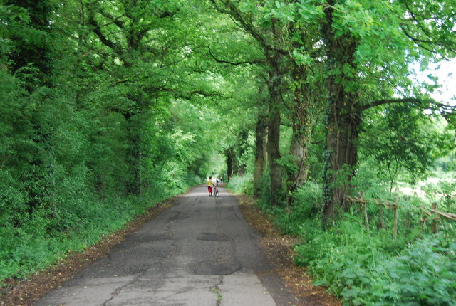
The woodland is characterized by its diverse range of tree species, including oak, beech, ash, and birch. The mixture of broadleaf trees creates a beautiful and vibrant canopy, especially during the spring and summer months. The forest floor is rich with an array of wildflowers and ferns, adding to the wood's natural beauty.

Blunts Wood is home to a variety of wildlife. The wood provides a habitat for numerous bird species, including woodpeckers, owls, and various songbirds. Additionally, it supports a population of small mammals such as squirrels, rabbits, and foxes. The wood also boasts a wealth of insect species, contributing to the ecological balance of the area.

The wood has a network of well-maintained footpaths and trails, allowing visitors to explore its enchanting surroundings. It is a popular destination for nature enthusiasts, hikers, and photographers. The peacefulness and tranquility of Blunts Wood make it an ideal location for those seeking solace and a connection with nature.

Blunts Wood is managed by the local authorities, who strive to preserve its natural beauty and protect its delicate ecosystem. Through responsible management practices, they ensure the longevity of this ancient woodland, allowing future generations to enjoy its serene and captivating atmosphere.

If you have any feedback on the listing, please let us know in the comments section below.
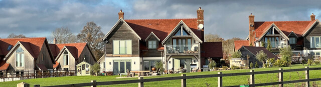
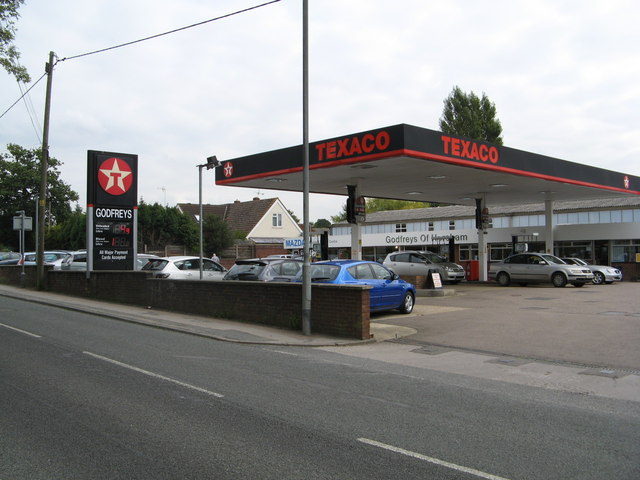
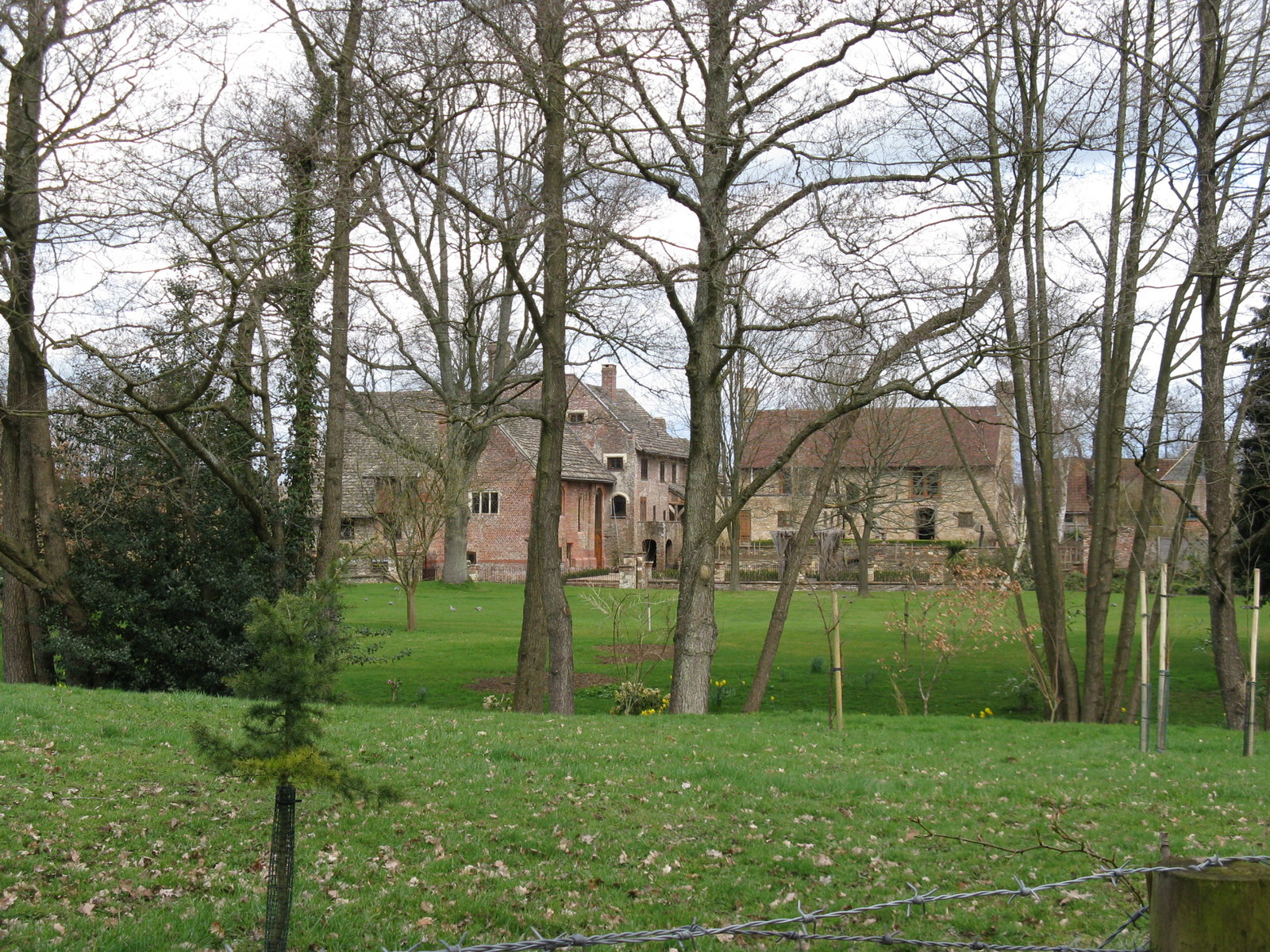
Blunts Wood Images

Images are sourced within 2km of 51.035184/-0.33512041 or Grid Reference TQ1627. Thanks to Geograph Open Source API. All images are credited.

Bracket fungi
Bracket fungi
New houses south of "The Wilderness"
Godfreys of Horsham
Godfreys of Horsham
Sewage farm building
Downs Link under the A24 The Downs Link is a 37-mile (59 km) footpath and bridleway linking the North Downs Way <a title="https://www.geograph.org.uk/snippet/174" href="https://www.geograph.org.uk/snippet/174">Link</a>  at St. Martha's Hill in Surrey with the South Downs Way <a title="https://www.geograph.org.uk/snippet/1186" href="https://www.geograph.org.uk/snippet/1186">Link</a>  near Steyning in West Sussex and on via the Coastal Link to Shoreham-by-Sea. Most of the route follows two dismantled railway lines, both closed by the Beeching cuts in the 1960s. The Shoreham-On-Sea to Christ’s Hospital line and the Christ’s Hospital to Shalford Junction line. The link opened in 1984. 
Cycle Route 223 follows the Downs link from Guildford to Shoreham.
The logo for the walk is the viaduct across the River Arun <a href="https://www.geograph.org.uk/photo/1870646">TQ0932 : Double Viaduct over the River Arun</a>.
A full history of the Cranleigh line (Christ’s Hospital to Shalford Junction) can be read at <span class="nowrap"><a title="http://en.wikipedia.org/wiki/Cranleigh_Line" rel="nofollow ugc noopener" href="http://en.wikipedia.org/wiki/Cranleigh_Line">Link</a><img style="margin-left:2px;" alt="External link" title="External link - shift click to open in new window" src="https://s1.geograph.org.uk/img/external.png" width="10" height="10"/></span>
Downs Link under the A24
The Downs Link is a 37-mile (59 km) footpath and bridleway linking the North Downs Way Link at St. Martha's Hill in Surrey with the South Downs Way Link near Steyning in West Sussex and on via the Coastal Link to Shoreham-by-Sea. Most of the route follows two dismantled railway lines, both closed by the Beeching cuts in the 1960s. The Shoreham-On-Sea to Christ’s Hospital line and the Christ’s Hospital to Shalford Junction line. The link opened in 1984. Cycle Route 223 follows the Downs link from Guildford to Shoreham. The logo for the walk is the viaduct across the River Arun TQ0932 : Double Viaduct over the River Arun. A full history of the Cranleigh line (Christ’s Hospital to Shalford Junction) can be read at LinkExternal link
Bridleway sign, Downs Link The Downs Link is a 37-mile (59 km) footpath and bridleway linking the North Downs Way <a title="https://www.geograph.org.uk/snippet/174" href="https://www.geograph.org.uk/snippet/174">Link</a>  at St. Martha's Hill in Surrey with the South Downs Way <a title="https://www.geograph.org.uk/snippet/1186" href="https://www.geograph.org.uk/snippet/1186">Link</a>  near Steyning in West Sussex and on via the Coastal Link to Shoreham-by-Sea. Most of the route follows two dismantled railway lines, both closed by the Beeching cuts in the 1960s. The Shoreham-On-Sea to Christ’s Hospital line and the Christ’s Hospital to Shalford Junction line. The link opened in 1984. 
Cycle Route 223 follows the Downs link from Guildford to Shoreham.
The logo for the walk is the viaduct across the River Arun <a href="https://www.geograph.org.uk/photo/1870646">TQ0932 : Double Viaduct over the River Arun</a>.
A full history of the Cranleigh line (Christ’s Hospital to Shalford Junction) can be read at <span class="nowrap"><a title="http://en.wikipedia.org/wiki/Cranleigh_Line" rel="nofollow ugc noopener" href="http://en.wikipedia.org/wiki/Cranleigh_Line">Link</a><img style="margin-left:2px;" alt="External link" title="External link - shift click to open in new window" src="https://s1.geograph.org.uk/img/external.png" width="10" height="10"/></span>
Bridleway sign, Downs Link
The Downs Link is a 37-mile (59 km) footpath and bridleway linking the North Downs Way Link at St. Martha's Hill in Surrey with the South Downs Way Link near Steyning in West Sussex and on via the Coastal Link to Shoreham-by-Sea. Most of the route follows two dismantled railway lines, both closed by the Beeching cuts in the 1960s. The Shoreham-On-Sea to Christ’s Hospital line and the Christ’s Hospital to Shalford Junction line. The link opened in 1984. Cycle Route 223 follows the Downs link from Guildford to Shoreham. The logo for the walk is the viaduct across the River Arun TQ0932 : Double Viaduct over the River Arun. A full history of the Cranleigh line (Christ’s Hospital to Shalford Junction) can be read at LinkExternal link
Telecommunications station, Southwater
Downs Link approaching Southwater
Woodland by Downs Link
Downs Link (Stakers Lane) The Downs Link is a 37-mile (59 km) footpath and bridleway linking the North Downs Way <a title="https://www.geograph.org.uk/snippet/174" href="https://www.geograph.org.uk/snippet/174">Link</a>  at St. Martha's Hill in Surrey with the South Downs Way <a title="https://www.geograph.org.uk/snippet/1186" href="https://www.geograph.org.uk/snippet/1186">Link</a>  near Steyning in West Sussex and on via the Coastal Link to Shoreham-by-Sea. Most of the route follows two dismantled railway lines, both closed by the Beeching cuts in the 1960s. The Shoreham-On-Sea to Christ’s Hospital line and the Christ’s Hospital to Shalford Junction line. The link opened in 1984. 
Cycle Route 223 follows the Downs link from Guildford to Shoreham.
The logo for the walk is the viaduct across the River Arun <a href="https://www.geograph.org.uk/photo/1870646">TQ0932 : Double Viaduct over the River Arun</a>.
A full history of the Cranleigh line (Christ’s Hospital to Shalford Junction) can be read at <span class="nowrap"><a title="http://en.wikipedia.org/wiki/Cranleigh_Line" rel="nofollow ugc noopener" href="http://en.wikipedia.org/wiki/Cranleigh_Line">Link</a><img style="margin-left:2px;" alt="External link" title="External link - shift click to open in new window" src="https://s1.geograph.org.uk/img/external.png" width="10" height="10"/></span>
Downs Link (Stakers Lane)
The Downs Link is a 37-mile (59 km) footpath and bridleway linking the North Downs Way Link at St. Martha's Hill in Surrey with the South Downs Way Link near Steyning in West Sussex and on via the Coastal Link to Shoreham-by-Sea. Most of the route follows two dismantled railway lines, both closed by the Beeching cuts in the 1960s. The Shoreham-On-Sea to Christ’s Hospital line and the Christ’s Hospital to Shalford Junction line. The link opened in 1984. Cycle Route 223 follows the Downs link from Guildford to Shoreham. The logo for the walk is the viaduct across the River Arun TQ0932 : Double Viaduct over the River Arun. A full history of the Cranleigh line (Christ’s Hospital to Shalford Junction) can be read at LinkExternal link
Stakers Lane (Downs Link) The Downs Link is a 37-mile (59 km) footpath and bridleway linking the North Downs Way <a title="https://www.geograph.org.uk/snippet/174" href="https://www.geograph.org.uk/snippet/174">Link</a>  at St. Martha's Hill in Surrey with the South Downs Way <a title="https://www.geograph.org.uk/snippet/1186" href="https://www.geograph.org.uk/snippet/1186">Link</a>  near Steyning in West Sussex and on via the Coastal Link to Shoreham-by-Sea. Most of the route follows two dismantled railway lines, both closed by the Beeching cuts in the 1960s. The Shoreham-On-Sea to Christ’s Hospital line and the Christ’s Hospital to Shalford Junction line. The link opened in 1984. 
Cycle Route 223 follows the Downs link from Guildford to Shoreham.
The logo for the walk is the viaduct across the River Arun <a href="https://www.geograph.org.uk/photo/1870646">TQ0932 : Double Viaduct over the River Arun</a>.
A full history of the Cranleigh line (Christ’s Hospital to Shalford Junction) can be read at <span class="nowrap"><a title="http://en.wikipedia.org/wiki/Cranleigh_Line" rel="nofollow ugc noopener" href="http://en.wikipedia.org/wiki/Cranleigh_Line">Link</a><img style="margin-left:2px;" alt="External link" title="External link - shift click to open in new window" src="https://s1.geograph.org.uk/img/external.png" width="10" height="10"/></span>
Stakers Lane (Downs Link)
The Downs Link is a 37-mile (59 km) footpath and bridleway linking the North Downs Way Link at St. Martha's Hill in Surrey with the South Downs Way Link near Steyning in West Sussex and on via the Coastal Link to Shoreham-by-Sea. Most of the route follows two dismantled railway lines, both closed by the Beeching cuts in the 1960s. The Shoreham-On-Sea to Christ’s Hospital line and the Christ’s Hospital to Shalford Junction line. The link opened in 1984. Cycle Route 223 follows the Downs link from Guildford to Shoreham. The logo for the walk is the viaduct across the River Arun TQ0932 : Double Viaduct over the River Arun. A full history of the Cranleigh line (Christ’s Hospital to Shalford Junction) can be read at LinkExternal link
Field by Downs Link
Field by Downs Link
Gate by the Downs Link
Cripplegate Lane
Cripplegate Lane
Cripplegate Lane
Cripplegate Lane
Car park, Southwater Country Park
Downs Link, Southwater Country Park
Show me another place!

Blunts Wood is located at Grid Ref: TQ1627 (Lat: 51.035184, Lng: -0.33512041)

Administrative County: West Sussex

District: Horsham

Police Authority: Sussex

What 3 Words

///lighters.engages.zooms. Near Southwater, West Sussex

Related Wikis

Copthorne F.C.

Copthorne Football Club is a football club based in Copthorne in West Sussex, England. They are currently members of the Southern Combination Division...

Horsham F.C.

Horsham Football Club are a non-League football club based in Horsham, West Sussex, England, currently playing in the Isthmian League Premier Division...

Haywards Heath Town F.C. Women

Haywards Heath Town F.C. Women (formerly Crawley Wasps Ladies FC) is an English women's football club, that currently plays in the FA Women's National...

Southwater railway station

Southwater was a railway station on the Steyning Line which served the village of Southwater. A goods siding allowed for the transportation of coal and...

Southwater

Southwater is a large village and civil parish in the Horsham District of West Sussex, England, with a population of roughly 10,000. It is administered...

Holy Innocents Church, Southwater

Holy Innocents Church is the Anglican parish church of Southwater, a village in the Horsham District of West Sussex, England. Built in 1849, the church...

Chesworth House

Chesworth House is a former Tudor manor house, located a mile south of Horsham, West Sussex, England. The original Manor house became a farmhouse and has...

Christ's Hospital

Christ's Hospital is a public school (English fee-charging boarding school for pupils aged 11–18) with a royal charter located to the south of Horsham...

Nearby Amenities

Located within 500m of 51.035184,-0.33512041
Newfoundout
Place: hamlet
Lat/Long: 51.0368992/-0.3352944
Grooms Flat
Addr City: Horsham
Addr Housename: Grooms Flat, Beckley Farm
Addr Postcode: RH13 9BA
Addr Street: Coltstaple Lane
Lat/Long: 51.0385839/-0.3346102
King's Farm
Place: farm
Lat/Long: 51.0390395/-0.3353115
Barrier: stile
Lat/Long: 51.0377785/-0.3331616
Jackrell's Farm
Place: farm
Wikidata: Q26488230
Lat/Long: 51.0339096/-0.3339744
Sunnymeade Farm
Place: farm
Lat/Long: 51.0344358/-0.3382052
Post Box
Collection Times: Mo-Fr 09:00; Sa 07:00
Operator: Royal Mail
Operator Wikidata: Q638098
Post Box Mounting: pier
Post Box Type: lamp
Ref: RH13 216D
Royal Cypher: EIIR
Royal Cypher Wikidata: Q33102113
Lat/Long: 51.0340838/-0.3370149
The data included in this document is from www.openstreetmap.org. The data is made available under ODbL.

Have you been to Blunts Wood?

Leave your review of Blunts Wood below (or comments, questions and feedback).