Paddock Copse
Wood, Forest in Sussex Horsham
England
Paddock Copse
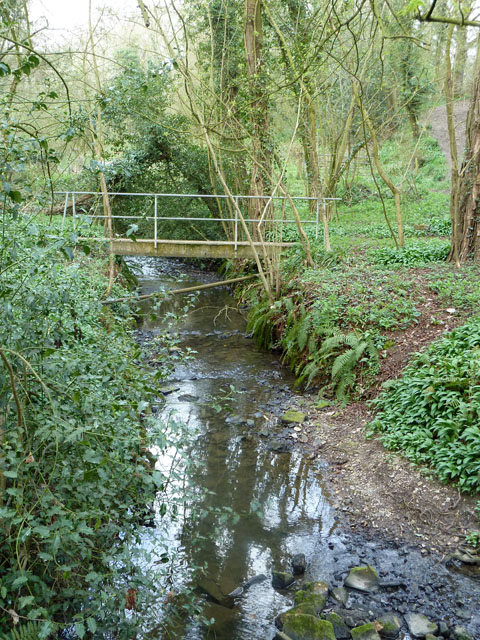
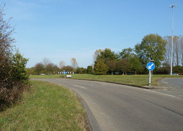
Paddock Copse is a picturesque woodland located in Sussex, England. Covering an area of approximately 20 acres, it is nestled in the heart of the South Downs National Park, making it a popular destination for nature lovers and outdoor enthusiasts.
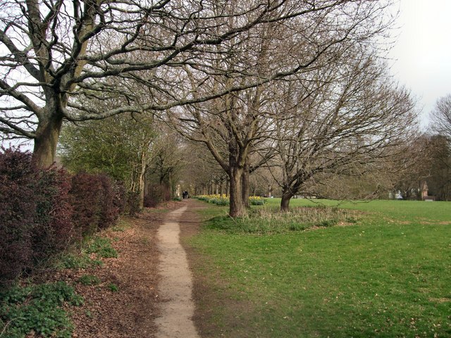
The copse is predominantly composed of native broadleaf trees, such as oak, beech, and ash, which create a dense and lush canopy. This provides a haven for a wide variety of flora and fauna, making it a haven for biodiversity. Bluebells, primroses, and wild garlic carpet the forest floor in spring, adding a burst of color and fragrance to the surroundings.
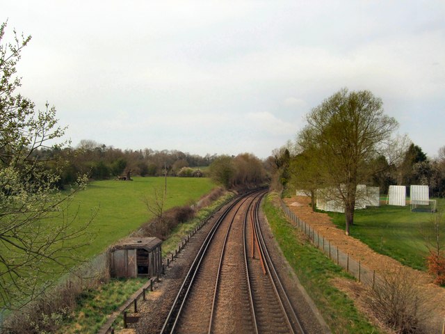
The woodland is intersected by a small stream, which meanders through the copse, creating a tranquil atmosphere and adding to the overall charm of the place. The babbling of the water and the rustling of leaves provide a symphony of sounds that immerse visitors in a sense of peace and tranquility.
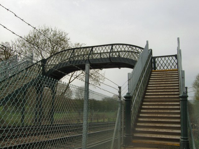
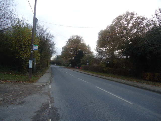
Paddock Copse boasts well-maintained footpaths and trails, allowing visitors to explore its beauty at their own pace. These paths lead to hidden clearings and viewpoints, offering breathtaking vistas of the surrounding countryside and the rolling hills of the South Downs.
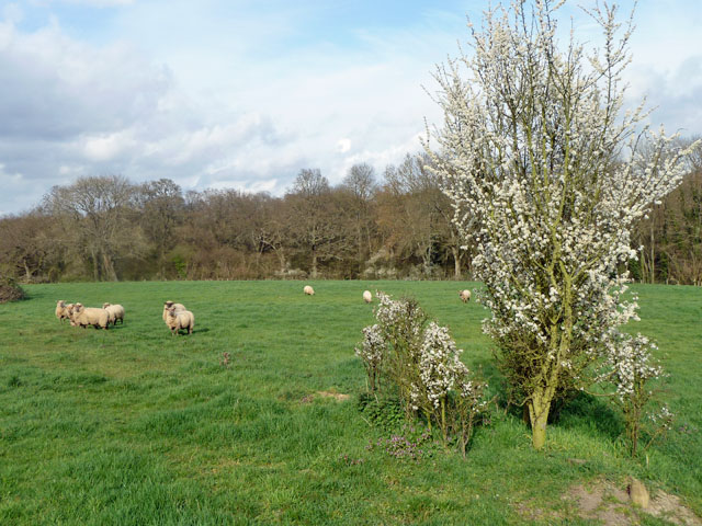
The copse is also a habitat for a diverse range of wildlife. Birdwatchers can spot various species, including woodpeckers, owls, and jays, while small mammals like badgers, foxes, and squirrels can be observed going about their daily routines.
Overall, Paddock Copse in Sussex is a haven of natural beauty, offering a peaceful retreat for those seeking solace in nature's embrace.
If you have any feedback on the listing, please let us know in the comments section below.
Paddock Copse Images
Images are sourced within 2km of 51.041871/-0.33489497 or Grid Reference TQ1628. Thanks to Geograph Open Source API. All images are credited.


Paddock Copse is located at Grid Ref: TQ1628 (Lat: 51.041871, Lng: -0.33489497)
Administrative County: West Sussex
District: Horsham
Police Authority: Sussex
What 3 Words
///atom.deals.glass. Near Southwater, West Sussex
Nearby Locations
Related Wikis

Copthorne F.C.
Copthorne Football Club is a football club based in Copthorne in West Sussex, England. They are currently members of the Southern Combination Division...

Horsham F.C.
Horsham Football Club are a non-League football club based in Horsham, West Sussex, England, currently playing in the Isthmian League Premier Division...
Haywards Heath Town F.C. Women
Haywards Heath Town F.C. Women (formerly Crawley Wasps Ladies FC) is an English women's football club, that currently plays in the FA Women's National...
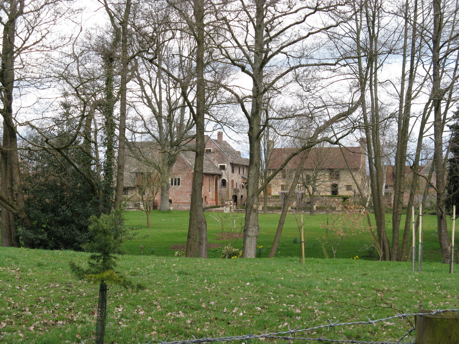
Chesworth House
Chesworth House is a former Tudor manor house, located a mile south of Horsham, West Sussex, England. The original Manor house became a farmhouse and has...
Horsham Cricket Club
Horsham Cricket Club is one of the oldest cricket clubs in the world and represents the Sussex market town of Horsham in the Sussex Cricket League, along...
Horsham YMCA F.C.
Horsham YMCA is a football club based in Horsham, West Sussex, England. They are currently members of the Southern Combination Premier Division and play...
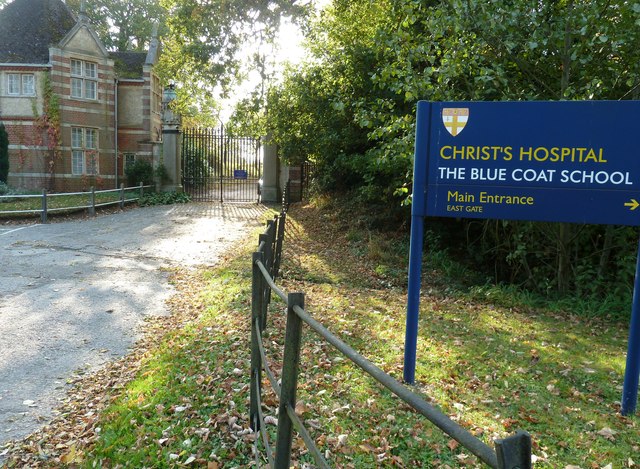
Christ's Hospital
Christ's Hospital is a public school (English fee-charging boarding school for pupils aged 11–18) with a royal charter located to the south of Horsham...
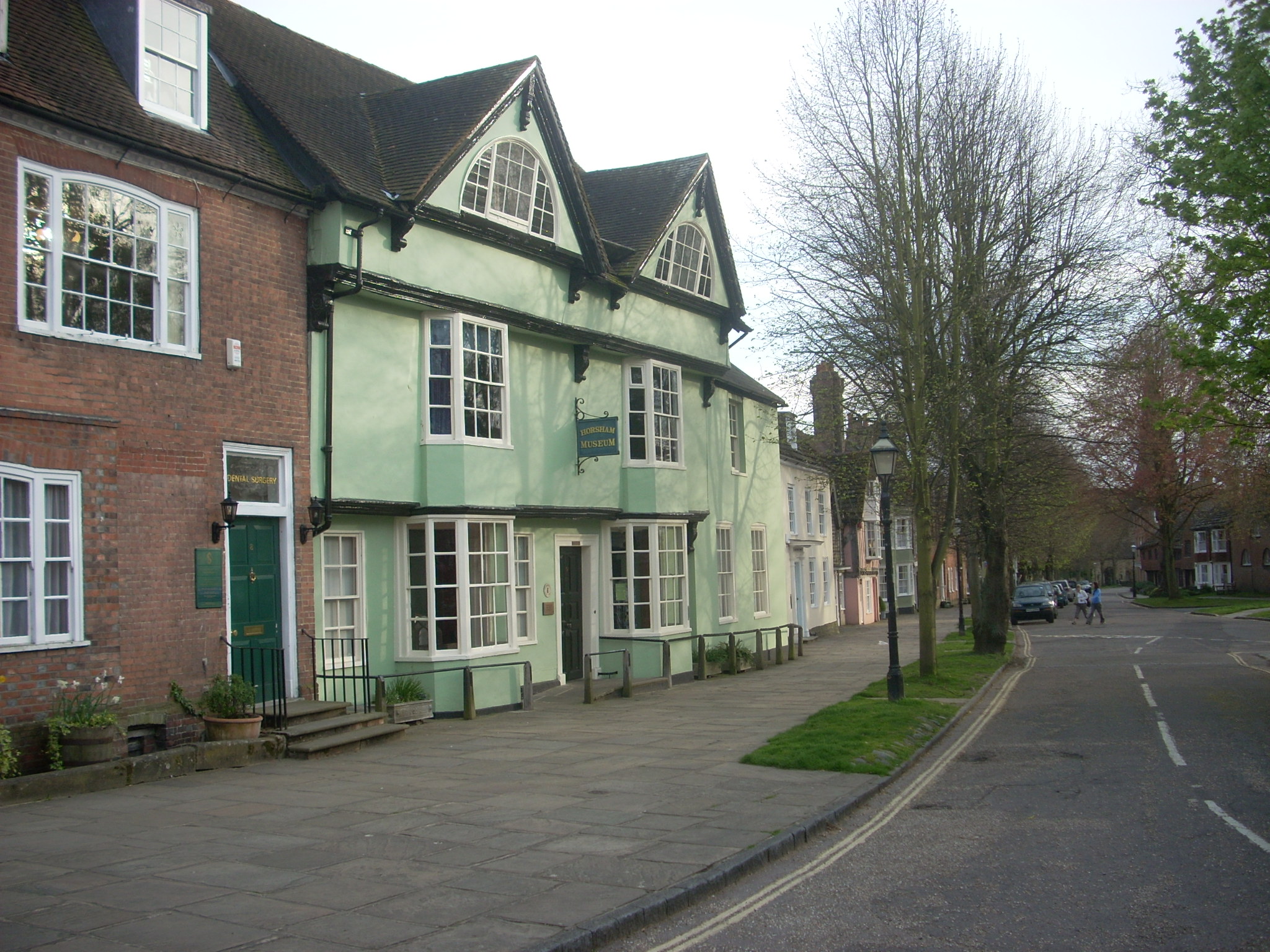
Horsham Museum
Horsham Museum is a museum at Horsham, West Sussex, in South East England. It was founded in August 1893 by volunteers of the Free Christian (now Unitarian...
Nearby Amenities
Located within 500m of 51.041871,-0.33489497Have you been to Paddock Copse?
Leave your review of Paddock Copse below (or comments, questions and feedback).