Newlane Wood
Wood, Forest in Sussex Horsham
England
Newlane Wood
Newlane Wood is a picturesque woodland located in the county of Sussex, England. Stretching across an area of approximately 100 acres, this enchanting forest is a haven for nature enthusiasts and those seeking tranquility amidst the beauty of the natural world.
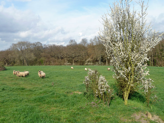
The wood is primarily composed of a mixture of deciduous and evergreen trees, including oak, beech, and pine, which create a diverse and vibrant canopy. The forest floor is adorned with a rich carpet of mosses, ferns, and wildflowers, adding to the enchanting atmosphere.
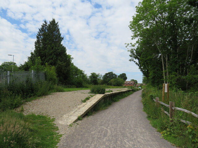
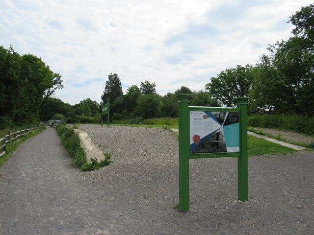
Newlane Wood offers a network of well-maintained footpaths and trails, inviting visitors to explore its hidden treasures. As one meanders along the winding paths, they may encounter an array of wildlife, including deer, rabbits, and squirrels. Birdwatchers will delight in the opportunity to spot various avian species, such as woodpeckers, owls, and thrushes, making the wood a popular destination for birdwatching enthusiasts.
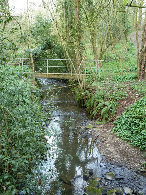
The forest also boasts a small pond, which is home to a diverse range of aquatic life, including frogs, newts, and dragonflies. This tranquil water feature adds to the charm of the wood, providing a serene spot for visitors to relax and enjoy the natural surroundings.
Newlane Wood is open to the public year-round, offering a peaceful retreat from the hustle and bustle of daily life. Whether one seeks a leisurely stroll, a picnic in a picturesque setting, or an opportunity to immerse oneself in the beauty of nature, this enchanting woodland is sure to captivate and inspire all who venture within its borders.
If you have any feedback on the listing, please let us know in the comments section below.
Newlane Wood Images
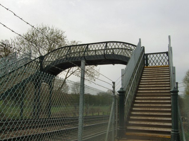
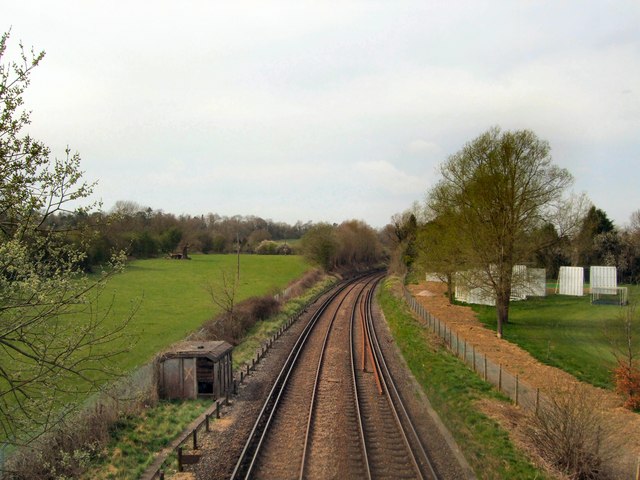
Images are sourced within 2km of 51.040538/-0.34427169 or Grid Reference TQ1628. Thanks to Geograph Open Source API. All images are credited.


Newlane Wood is located at Grid Ref: TQ1628 (Lat: 51.040538, Lng: -0.34427169)
Administrative County: West Sussex
District: Horsham
Police Authority: Sussex
What 3 Words
///storage.fairy.goodbyes. Near Southwater, West Sussex
Nearby Locations
Related Wikis

Haywards Heath Town F.C. Women
Haywards Heath Town F.C. Women (formerly Crawley Wasps Ladies FC) is an English women's football club, that currently plays in the FA Women's National...
Copthorne F.C.
Copthorne Football Club is a football club based in Copthorne in West Sussex, England. They are currently members of the Southern Combination Division...

Horsham F.C.
Horsham Football Club are a non-League football club based in Horsham, West Sussex, England, currently playing in the Isthmian League Premier Division...
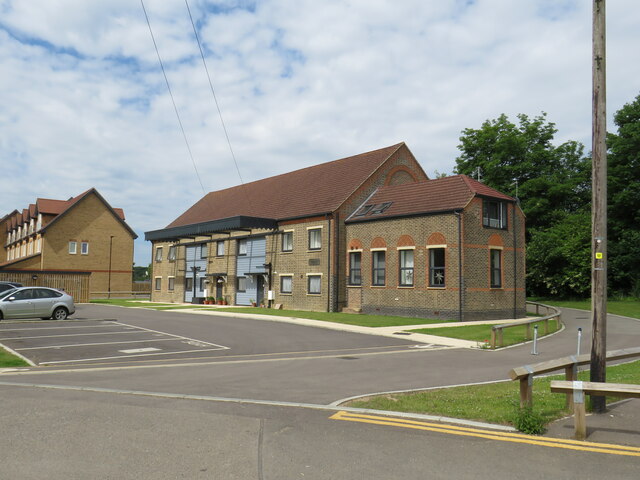
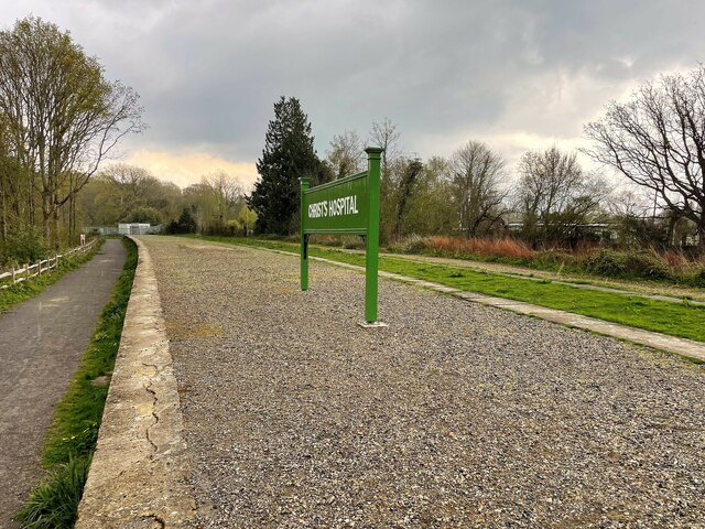
Christ's Hospital
Christ's Hospital is a public school (English fee-charging boarding school for pupils aged 11–18) with a royal charter located to the south of Horsham...
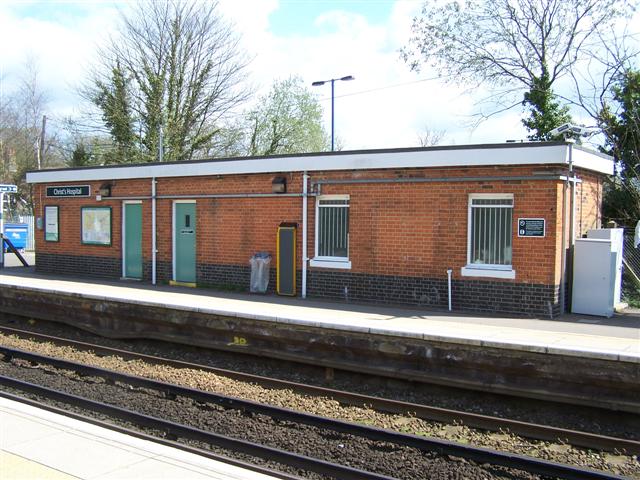
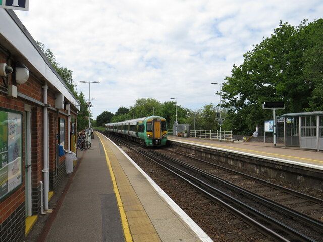
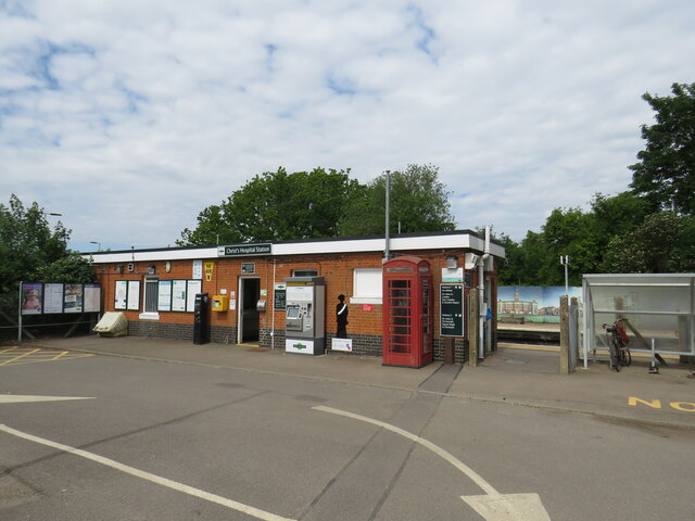
Christ's Hospital railway station
Christ's Hospital railway station is near Horsham in West Sussex, England. It is 40 miles 7 chains (64.5 km) down the line from London Bridge via Redhill...

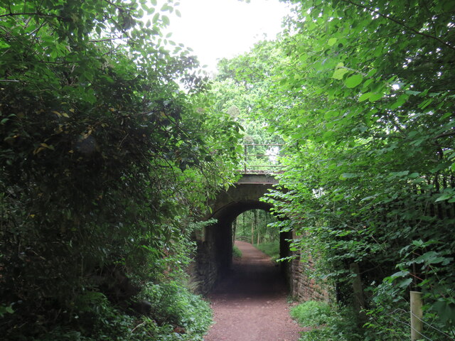
Downs Link
The Downs Link is a 36.7 miles (59.1 km) footpath and bridleway linking the North Downs Way at St. Martha's Hill in Surrey with the South Downs Way near...

Southwater railway station
Southwater was a railway station on the Steyning Line which served the village of Southwater. A goods siding allowed for the transportation of coal and...

Southwater
Southwater is a large village and civil parish in the Horsham District of West Sussex, England, with a population of roughly 10,000. It is administered...
Nearby Amenities
Located within 500m of 51.040538,-0.34427169Have you been to Newlane Wood?
Leave your review of Newlane Wood below (or comments, questions and feedback).