Home Wood

Wood, Forest in Sussex Horsham

England

Home Wood

River Arun Overflow stream that maybe the original River Arun route. A higher level canal was cut for the mill.

River info : <span class="nowrap"><a title="https://en.wikipedia.org/wiki/River_Arun" rel="nofollow ugc noopener" href="https://en.wikipedia.org/wiki/River_Arun">Link</a><img style="margin-left:2px;" alt="External link" title="External link - shift click to open in new window" src="https://s1.geograph.org.uk/img/external.png" width="10" height="10"/></span>
River Arun Credit: James Emmans

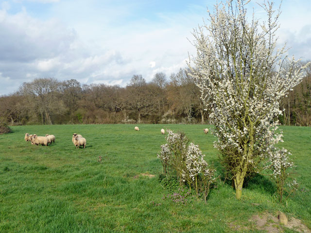
Home Wood is a picturesque forest located in Sussex, England. Spanning over a vast area, this woodland is a haven of natural beauty and tranquility. Home Wood is renowned for its diverse range of flora and fauna, making it an ideal destination for nature enthusiasts and wildlife lovers.

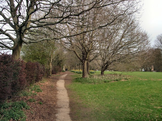
The woodland is predominantly made up of indigenous trees such as oak, beech, and birch, creating a stunning canopy that provides shade and shelter for numerous species. The forest floor is adorned with a rich carpet of wildflowers, including bluebells, primroses, and wood anemones, which bloom in vibrant hues during the spring season.

Home Wood is home to a variety of wildlife, including deer, foxes, badgers, and a wide array of bird species. The forest's peaceful atmosphere and dense vegetation make it an ideal habitat for these creatures. Birdwatchers can spot species such as woodpeckers, owls, and thrushes, as well as migratory birds that visit the wood during certain times of the year.

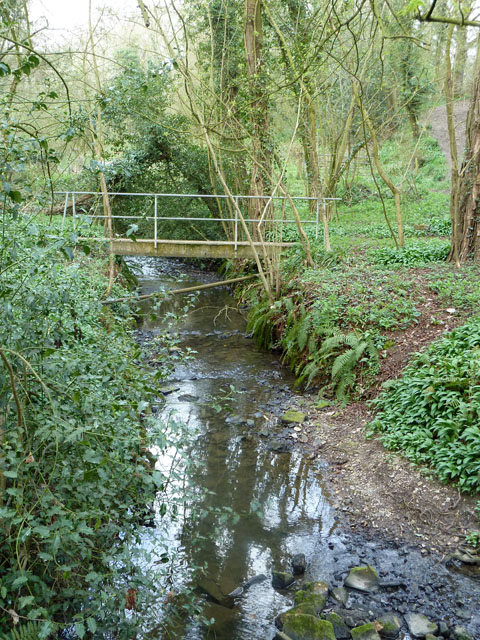
The woodland is crisscrossed by a network of walking trails, allowing visitors to explore its beauty at their own pace. These paths meander through the forest, offering glimpses of breathtaking landscapes and opportunities for peaceful contemplation. Additionally, there are several picnic areas and benches scattered throughout the wood, providing a perfect spot for visitors to relax and absorb the natural surroundings.

Home Wood, Sussex, is a true gem for those seeking solace in nature. Its enchanting scenery, diverse wildlife, and serene atmosphere make it a place of wonder and a must-visit destination for anyone who appreciates the beauty of the great outdoors.

If you have any feedback on the listing, please let us know in the comments section below.
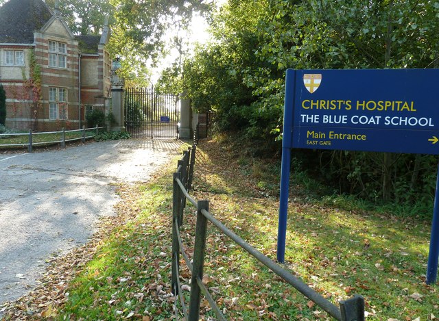
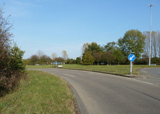
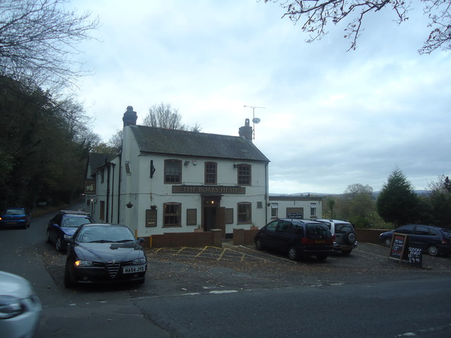
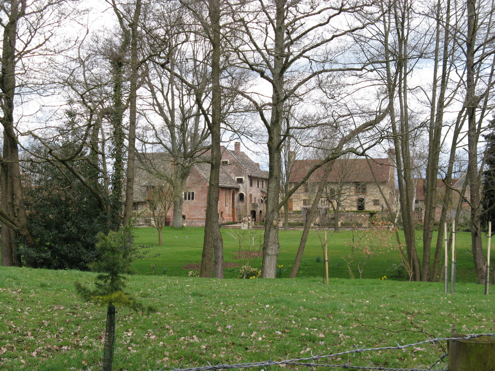
Home Wood Images

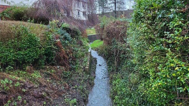
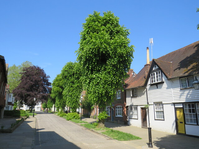
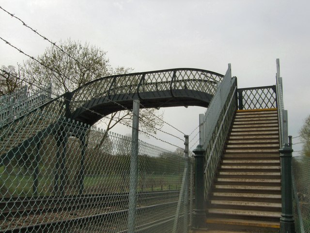
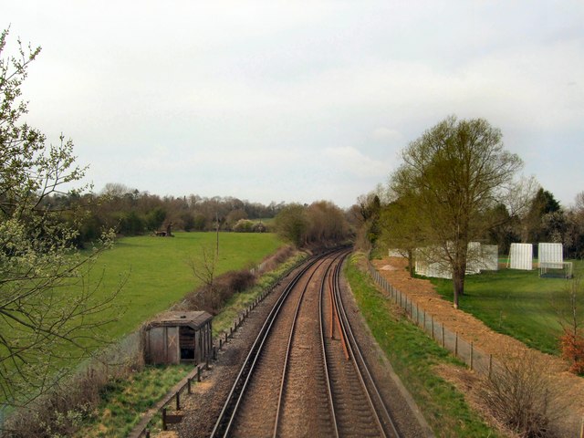
Images are sourced within 2km of 51.043184/-0.33551836 or Grid Reference TQ1628. Thanks to Geograph Open Source API. All images are credited.

River Arun Overflow stream that maybe the original River Arun route. A higher level canal was cut for the mill.

River info : <span class="nowrap"><a title="https://en.wikipedia.org/wiki/River_Arun" rel="nofollow ugc noopener" href="https://en.wikipedia.org/wiki/River_Arun">Link</a><img style="margin-left:2px;" alt="External link" title="External link - shift click to open in new window" src="https://s1.geograph.org.uk/img/external.png" width="10" height="10"/></span>
River Arun
Overflow stream that maybe the original River Arun route. A higher level canal was cut for the mill. River info : LinkExternal link
Causeway, Horsham Causeway is a residential street close to the town centre in Horsham, West Sussex.
Causeway, Horsham
Causeway is a residential street close to the town centre in Horsham, West Sussex.
Barrackfield Crossing Crossing the Arun Valley Line near Horsham
Barrackfield Crossing
Crossing the Arun Valley Line near Horsham
Rail Line viewed from Barrackfield Crossing On the Arun valley line between Horsham and Christ's Hospital
Rail Line viewed from Barrackfield Crossing
On the Arun valley line between Horsham and Christ's Hospital
Path by Horsham Cricket Field
Sheep and Blackthorn In the field crossed by footpath 1628/3 north of Christ's Hospital.
Sheep and Blackthorn
In the field crossed by footpath 1628/3 north of Christ's Hospital.
Footbridge on path 1628/3 The junction with footpath 1637 is just to the right of the view - this path can just be seen climbing out of the gill.
Footbridge on path 1628/3
The junction with footpath 1637 is just to the right of the view - this path can just be seen climbing out of the gill.
The Old Lodge near Christ's Hospital Situated opposite the East Lodge of Christ's Hospital <a href="https://www.geograph.org.uk/photo/2661923">TQ1528 : East Lodge and gate to Christ's Hospital School</a>.
The Old Lodge near Christ's Hospital
Situated opposite the East Lodge of Christ's Hospital TQ1528 : East Lodge and gate to Christ's Hospital School.
East Lodge and gate to Christ's Hospital School I believe this entrance is no longer used but a new entrance is on Christ's Hospital Road, as per sign.
East Lodge and gate to Christ's Hospital School
I believe this entrance is no longer used but a new entrance is on Christ's Hospital Road, as per sign.
Roundabout on the A24 One of five roundabouts that serve Horsham from its ring road.
Roundabout on the A24
One of five roundabouts that serve Horsham from its ring road.
Tower, Christ's Hospital School Christ's Hospital School is located south of Horsham close to the railway station of the same name. It is a co-educational independent school.
For a History see <span class="nowrap"><a title="http://www.christs-hospital.org.uk/school-about-history.php" rel="nofollow ugc noopener" href="http://www.christs-hospital.org.uk/school-about-history.php">Link</a><img style="margin-left:2px;" alt="External link" title="External link - shift click to open in new window" src="https://s1.geograph.org.uk/img/external.png" width="10" height="10"/></span> 
Website: <span class="nowrap"><a title="http://www.christs-hospital.org.uk/index.php" rel="nofollow ugc noopener" href="http://www.christs-hospital.org.uk/index.php">Link</a><img style="margin-left:2px;" alt="External link" title="External link - shift click to open in new window" src="https://s1.geograph.org.uk/img/external.png" width="10" height="10"/></span> 
Wikipedia: <span class="nowrap"><a title="http://en.wikipedia.org/wiki/Christ's_Hospital" rel="nofollow ugc noopener" href="http://en.wikipedia.org/wiki/Christ's_Hospital">Link</a><img style="margin-left:2px;" alt="External link" title="External link - shift click to open in new window" src="https://s1.geograph.org.uk/img/external.png" width="10" height="10"/></span>
Tower, Christ's Hospital School
Christ's Hospital School is located south of Horsham close to the railway station of the same name. It is a co-educational independent school. For a History see LinkExternal link Website: LinkExternal link Wikipedia: LinkExternal link
Christ's Hospital School Christ's Hospital School is located south of Horsham close to the railway station of the same name. It is a co-educational independent school.
For a History see <span class="nowrap"><a title="http://www.christs-hospital.org.uk/school-about-history.php" rel="nofollow ugc noopener" href="http://www.christs-hospital.org.uk/school-about-history.php">Link</a><img style="margin-left:2px;" alt="External link" title="External link - shift click to open in new window" src="https://s1.geograph.org.uk/img/external.png" width="10" height="10"/></span> 
Website: <span class="nowrap"><a title="http://www.christs-hospital.org.uk/index.php" rel="nofollow ugc noopener" href="http://www.christs-hospital.org.uk/index.php">Link</a><img style="margin-left:2px;" alt="External link" title="External link - shift click to open in new window" src="https://s1.geograph.org.uk/img/external.png" width="10" height="10"/></span> 
Wikipedia: <span class="nowrap"><a title="http://en.wikipedia.org/wiki/Christ's_Hospital" rel="nofollow ugc noopener" href="http://en.wikipedia.org/wiki/Christ's_Hospital">Link</a><img style="margin-left:2px;" alt="External link" title="External link - shift click to open in new window" src="https://s1.geograph.org.uk/img/external.png" width="10" height="10"/></span>
Christ's Hospital School
Christ's Hospital School is located south of Horsham close to the railway station of the same name. It is a co-educational independent school. For a History see LinkExternal link Website: LinkExternal link Wikipedia: LinkExternal link
Part of Christ's Hospital School
Shell petrol station, Hop Oast
The Boars Head public house, Tower Hill
Worthing Road, Tower Hill
Two Mile Ash Lane This roadbridge carries the A24
Two Mile Ash Lane
This roadbridge carries the A24
Two Mile Ash Lane
Two Mile Ash Lane
Show me another place!

Home Wood is located at Grid Ref: TQ1628 (Lat: 51.043184, Lng: -0.33551836)

Administrative County: West Sussex

District: Horsham

Police Authority: Sussex

What 3 Words

///split.occupy.beast. Near Horsham, West Sussex

Related Wikis

Copthorne F.C.

Copthorne Football Club is a football club based in Copthorne in West Sussex, England. They are currently members of the Southern Combination Division...

Horsham F.C.

Horsham Football Club is a non-League football club based in Horsham, West Sussex, England, currently playing in the Isthmian League Premier Division....

Haywards Heath Town F.C. Women

Haywards Heath Town F.C. Women (formerly Crawley Wasps Ladies FC) is an English women's football club, that currently plays in the FA Women's National...

Chesworth House

Chesworth House is a former Tudor manor house, located a mile south of Horsham, West Sussex, England. The original Manor house became a farmhouse and has...

Nearby Amenities

Located within 500m of 51.043184,-0.33551836
Crossing
Lat/Long: 51.0403127/-0.3394721
King's Farm
Place: farm
Lat/Long: 51.0390395/-0.3353115
Bicycle Parking
Capacity: 26
Covered: yes
Lat/Long: 51.0467665/-0.3393515
The data included in this document is from www.openstreetmap.org. The data is made available under ODbL.

Have you been to Home Wood?

Leave your review of Home Wood below (or comments, questions and feedback).