Lake Plantation
Wood, Forest in Sussex Horsham
England
Lake Plantation

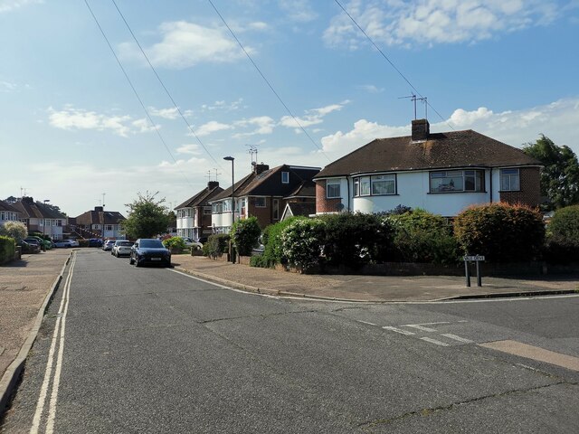
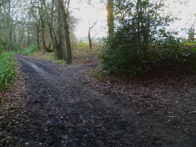
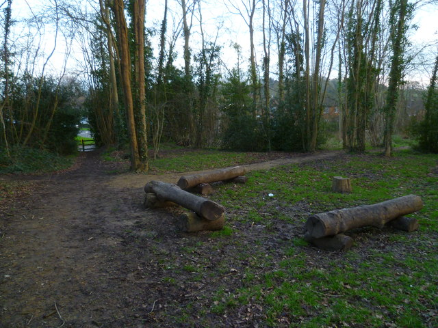
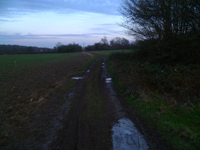
Lake Plantation, Sussex, also known as Wood or Forest, is a picturesque natural area located in the county of Sussex, England. Covering an expansive area of lush greenery and serene landscapes, it is a popular destination for nature enthusiasts and those seeking tranquility.
The main feature of Lake Plantation is, as the name suggests, its stunning lake. The lake is surrounded by dense woodland, creating a captivating and peaceful atmosphere. Visitors can enjoy leisurely walks or picnics along its shores, take in the breathtaking views, or even try their hand at fishing.
The plantation itself is home to a diverse range of flora and fauna. The dense forest is predominantly made up of tall, mature trees, such as oak, beech, and ash. These provide a rich habitat for a variety of wildlife, including deer, foxes, rabbits, and a wide array of bird species. Nature enthusiasts will delight in the opportunity to observe and appreciate the natural beauty and biodiversity of the area.
Furthermore, Lake Plantation offers a network of well-maintained walking trails, allowing visitors to explore the area at their own pace. These trails wind through the forest, offering glimpses of the lake, scenic viewpoints, and hidden gems along the way.
For those seeking a peaceful retreat in the heart of nature, Lake Plantation, Sussex, provides an idyllic setting. Its tranquil lake, lush woodland, and abundant wildlife make it a must-visit destination for nature lovers and those looking to escape the hustle and bustle of everyday life.
If you have any feedback on the listing, please let us know in the comments section below.
Lake Plantation Images
Images are sourced within 2km of 51.080828/-0.34818765 or Grid Reference TQ1532. Thanks to Geograph Open Source API. All images are credited.


Lake Plantation is located at Grid Ref: TQ1532 (Lat: 51.080828, Lng: -0.34818765)
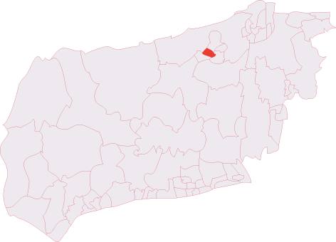
Administrative County: West Sussex
District: Horsham
Police Authority: Sussex
What 3 Words
///dust.bath.solar. Near Warnham, West Sussex
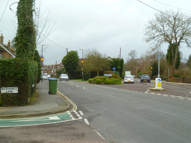
Nearby Locations
Related Wikis

E. Tredcroft's Ground
E. Tredcroft's Ground was a cricket ground at the Warnham Court estate, located at Horsham, Sussex. The first recorded match on the ground was in 1851...

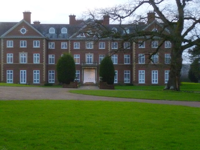
Field Place, Warnham
Field Place is a Grade I listed house in Warnham, West Sussex, England. It is the birthplace of the poet Percy Bysshe Shelley, born there in 1792. The...

Warnham
Warnham is a village and civil parish in the Horsham district of West Sussex, England. The village is centred 2 miles (3.2 km) north-northwest of Horsham...

Warnham LNR
Warnham LNR is a 38.4-hectare (95-acre) Local Nature Reserve in Horsham in West Sussex. It is owned and managed by Horsham District Council.The principal...

Broadbridge Heath
Broadbridge Heath is a village and civil parish in the Horsham district of West Sussex, England. It is about two miles (3 km) west from the historic centre...

Warnham & Rusper (electoral division)
Warnham & Rusper is an electoral division of West Sussex in the United Kingdom and returns one member to sit on West Sussex County Council. The current...
Horsham Hurst (electoral division)
Horsham Hurst is an electoral division of West Sussex in the United Kingdom and returns one member to sit on West Sussex County Council. == Extent == The...
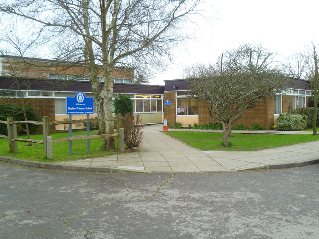
Tanbridge House School
Tanbridge House School is a coeducational secondary school located in Horsham, West Sussex, England. Its current head master is Mr Sheridan who started...
Nearby Amenities
Located within 500m of 51.080828,-0.34818765Have you been to Lake Plantation?
Leave your review of Lake Plantation below (or comments, questions and feedback).