Broomwicks Wood

Wood, Forest in Sussex Horsham

England

Broomwicks Wood

Waitrose and John Lewis - off Albion Way The photo shows the upper level of the car park. There is a level below this as well.
Waitrose and John Lewis - off Albion Way Credit: Ian Cunliffe

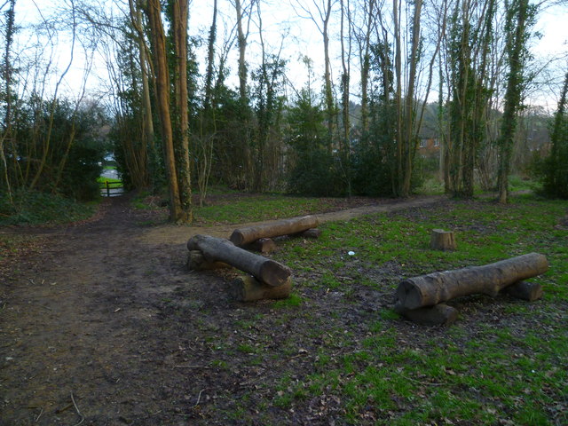
Broomwicks Wood is a serene and captivating forest located in the county of Sussex, England. This enchanting woodland covers an area of approximately 100 acres and is known for its abundant flora and fauna, making it a popular destination for nature enthusiasts and hikers alike.

The wood is predominantly composed of broadleaf trees such as oak, beech, and ash, which create a dense canopy, providing shade and shelter to the understory vegetation. The forest floor is carpeted with vibrant bluebells in the spring, creating a breathtaking spectacle for visitors. Other notable plant species found in Broomwicks Wood include wild garlic, wood anemones, and primroses, adding to its natural beauty.

The wood is home to a diverse range of wildlife, including various bird species such as tawny owls, woodpeckers, and song thrushes. Mammals such as badgers, foxes, and deer also inhabit the forest, adding to its ecological significance. Additionally, Broomwicks Wood supports a rich insect population, with butterflies, beetles, and dragonflies being commonly spotted.

Visitors to Broomwicks Wood can explore the numerous trails that wind through the forest, allowing them to immerse themselves in the peaceful atmosphere and discover the hidden treasures within. The wood offers a tranquil escape from the hustle and bustle of everyday life, providing an opportunity for relaxation, birdwatching, and photography.

Overall, Broomwicks Wood in Sussex is a captivating woodland that showcases the beauty of nature in all its glory. Its diverse vegetation, thriving wildlife, and peaceful atmosphere make it a must-visit destination for nature lovers and those seeking solace in the great outdoors.

If you have any feedback on the listing, please let us know in the comments section below.

Broomwicks Wood Images

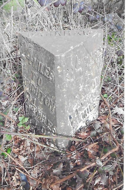
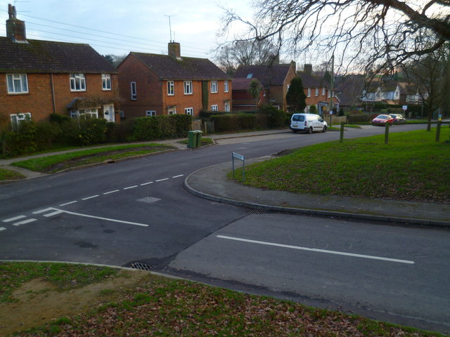
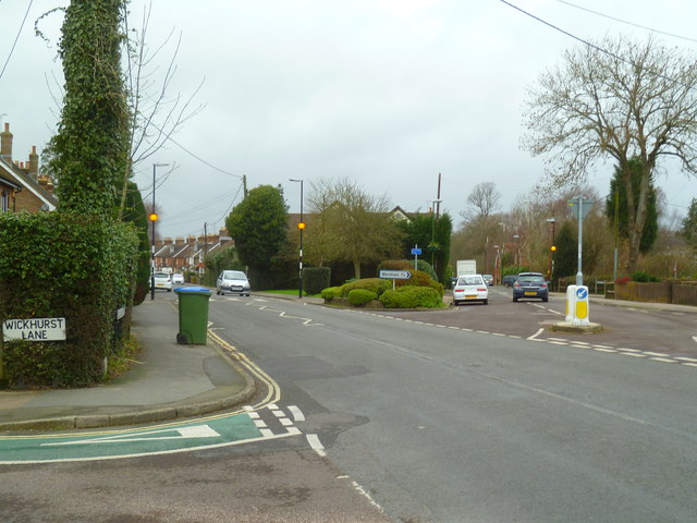
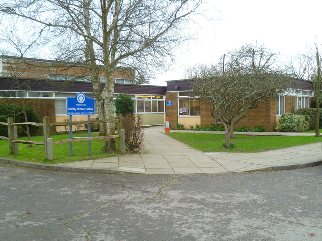
Images are sourced within 2km of 51.076901/-0.35029752 or Grid Reference TQ1532. Thanks to Geograph Open Source API. All images are credited.

Waitrose and John Lewis - off Albion Way The photo shows the upper level of the car park. There is a level below this as well.
Waitrose and John Lewis - off Albion Way
The photo shows the upper level of the car park. There is a level below this as well.
New bridleway off Bell Lane The footpath leading south-east off Bell Lane to the old Dorking Road (now sequestered by the A24 dual carriageway) has recently been upgraded to bridleway, no. 3647_1.
New bridleway off Bell Lane
The footpath leading south-east off Bell Lane to the old Dorking Road (now sequestered by the A24 dual carriageway) has recently been upgraded to bridleway, no. 3647_1.
Streets of Horsham Junction of Curzon Avenue and Vale Drive.
Streets of Horsham
Junction of Curzon Avenue and Vale Drive.
Waitrose and John Lewis store
Old Milestone by A24, Andrews Farm The Milestone is located by the road.  Parish of Warnham (Horsham District). Cast iron post, Horsham post design, erected by the Horsham & Dorking turnpike trust in the 19th Century. An earlier photograph can be found here: <a title="https://www.geograph.org.uk/photo/1596429" href="https://www.geograph.org.uk/photo/1596429">Link</a> 

Inscription reads:-  
24 MILES / TO / BRIGHTON / 2½ / TO / HORSHAM : : 34 MILES / TO / LONDON / 11 / MILES TO / DORKING : : WARNHAM  

Milestone Society National ID: SX_LA34
Old Milestone by A24, Andrews Farm
The Milestone is located by the road.  Parish of Warnham (Horsham District). Cast iron post, Horsham post design, erected by the Horsham & Dorking turnpike trust in the 19th Century. An earlier photograph can be found here: Link  Inscription reads:- 24 MILES / TO / BRIGHTON / 2½ / TO / HORSHAM : : 34 MILES / TO / LONDON / 11 / MILES TO / DORKING : : WARNHAM Milestone Society National ID: SX_LA34
Old Milestone by A24, Andrews Farm The Milestone is located by the road.  Parish of Warnham (Horsham District). Cast iron post, Horsham post design, erected by the Horsham & Dorking turnpike trust in the 19th Century. An earlier photograph can be found here: <a title="https://www.geograph.org.uk/photo/7429171" href="https://www.geograph.org.uk/photo/7429171">Link</a> 

Inscription reads:-  
24 MILES / TO / BRIGHTON / 2½ / TO / HORSHAM : : 34 MILES / TO / LONDON / 11 / MILES TO / DORKING : : WARNHAM  

Milestone Society National ID: SX_LA34
Old Milestone by A24, Andrews Farm
The Milestone is located by the road.  Parish of Warnham (Horsham District). Cast iron post, Horsham post design, erected by the Horsham & Dorking turnpike trust in the 19th Century. An earlier photograph can be found here: Link  Inscription reads:- 24 MILES / TO / BRIGHTON / 2½ / TO / HORSHAM : : 34 MILES / TO / LONDON / 11 / MILES TO / DORKING : : WARNHAM Milestone Society National ID: SX_LA34
School Hill, Warnham School Hill in the village of Warnham, in West Sussex
School Hill, Warnham
School Hill in the village of Warnham, in West Sussex
Worthing Road, Horsham A pedestrianised section of Worthing Road, in the centre of Horsham, a town in West Sussex.
Worthing Road, Horsham
A pedestrianised section of Worthing Road, in the centre of Horsham, a town in West Sussex.
Timber-framed outbuilding at Bailing Hill Farm - with antler trophies Bailing Hill (on the Warnham Park estate) is currently run as a deer farm - hence the antler trophies.  Apart from the smallish trophies fixed to the first-floor frame, notice the huge pair of antlers on the ground at the far end of the building.   <span class="nowrap"><a title="http://www.warnhampark.com/" rel="nofollow ugc noopener" href="http://www.warnhampark.com/">Link</a><img style="margin-left:2px;" alt="External link" title="External link - shift click to open in new window" src="https://s1.geograph.org.uk/img/external.png" width="10" height="10"/></span>
Timber-framed outbuilding at Bailing Hill Farm - with antler trophies
Bailing Hill (on the Warnham Park estate) is currently run as a deer farm - hence the antler trophies. Apart from the smallish trophies fixed to the first-floor frame, notice the huge pair of antlers on the ground at the far end of the building. LinkExternal link
Former school, by Warnham village green A Victorian school building, overlooking the village green from the east.
Former school, by Warnham village green
A Victorian school building, overlooking the village green from the east.
Mid-18th century tombstone, Warnham churchyard The name is JOHN AGATE (if I've read it correctly) and the date July 1748.  The jawless skull is pretty typical of the rather heartless imagery to be found on 18th century tombstones.
Mid-18th century tombstone, Warnham churchyard
The name is JOHN AGATE (if I've read it correctly) and the date July 1748. The jawless skull is pretty typical of the rather heartless imagery to be found on 18th century tombstones.
Log seating by crosstracks at Warnham
Houses on Tilletts Lane The camera is near the junction with Gregsons.
Houses on Tilletts Lane
The camera is near the junction with Gregsons.
Warnham Manor seen from footpath See also <a title="https://www.geograph.org.uk/photo/2071947" href="https://www.geograph.org.uk/photo/2071947">Link</a>.
Warnham Manor seen from footpath
See also Link.
Looking south on the A24 from the new bridge at Broadbridge Heath
Junction of Billingshurst and Old Guildford Roads
Shelley Primary School
Looking south on Old Wickhurst Lane The crossing road is Cook Way I think although I didn't see the name anywhere and haven't yet found an up-to-date map.  At the end of the road is the new dual carriageway of the A264, farther south than the "old" A264.  See <a title="https://www.geograph.org.uk/photo/1988410" href="https://www.geograph.org.uk/photo/1988410">Link</a> for how much better things used to be.
Looking south on Old Wickhurst Lane
The crossing road is Cook Way I think although I didn't see the name anywhere and haven't yet found an up-to-date map. At the end of the road is the new dual carriageway of the A264, farther south than the "old" A264. See Link for how much better things used to be.
Show me another place!

Broomwicks Wood is located at Grid Ref: TQ1532 (Lat: 51.076901, Lng: -0.35029752)

Administrative County: West Sussex

District: Horsham

Police Authority: Sussex

What 3 Words

///counts.slate.foal. Near Warnham, West Sussex

Related Wikis

Broadbridge Heath

Broadbridge Heath is a village and civil parish in the Horsham district of West Sussex, England. It is about two miles (3 km) west from the historic centre...

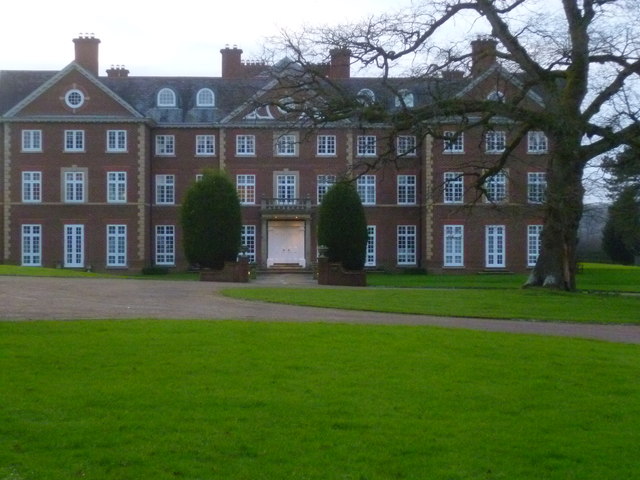
Field Place, Warnham

Field Place is a Grade I listed house in Warnham, West Sussex, England. It is the birthplace of the poet Percy Bysshe Shelley, born there in 1792. The...

E. Tredcroft's Ground

E. Tredcroft's Ground was a cricket ground at the Warnham Court estate, located at Horsham, Sussex. The first recorded match on the ground was in 1851...

Tanbridge House School

Tanbridge House School is a coeducational secondary school located in Horsham, West Sussex, England. Its current head master is Mr Sheridan who started...

Nearby Amenities

Located within 500m of 51.076901,-0.35029752
Parking
Parking: surface
Lat/Long: 51.0748839/-0.3451226
Barrier: kissing_gate
Foot: yes
Lat/Long: 51.0787576/-0.3487133
Broomlands Farm
Place: farm
Lat/Long: 51.0782992/-0.3556749
Lyons Clumps
Natural: wood
Lat/Long: 51.079849/-0.35207
Wellingtonia Clump
Natural: wood
Lat/Long: 51.0795187/-0.354484
The data included in this document is from www.openstreetmap.org. The data is made available under ODbL.

Have you been to Broomwicks Wood?

Leave your review of Broomwicks Wood below (or comments, questions and feedback).