Furzefield Wood

Wood, Forest in Sussex Horsham

England

Furzefield Wood

New bridleway off Bell Lane The footpath leading south-east off Bell Lane to the old Dorking Road (now sequestered by the A24 dual carriageway) has recently been upgraded to bridleway, no. 3647_1.
New bridleway off Bell Lane Credit: Hugh Craddock

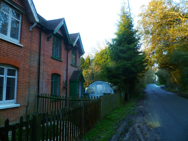
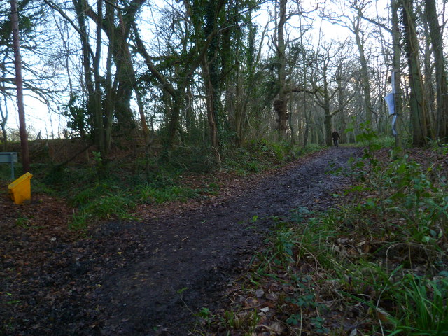
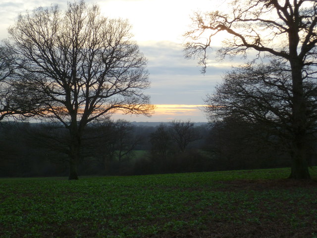
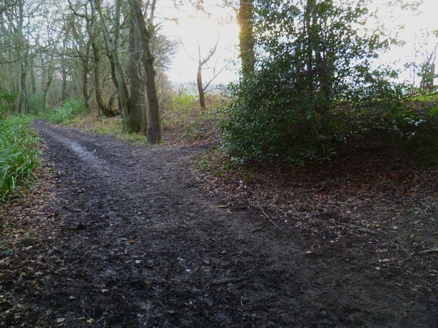
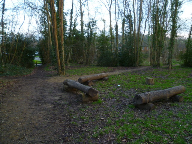
Furzefield Wood is a picturesque woodland located in Sussex, England. Covering an area of approximately 50 acres, it is known for its natural beauty and diverse wildlife. The wood is situated in a rural setting, surrounded by rolling hills and farmland, making it an ideal destination for nature enthusiasts and hikers.

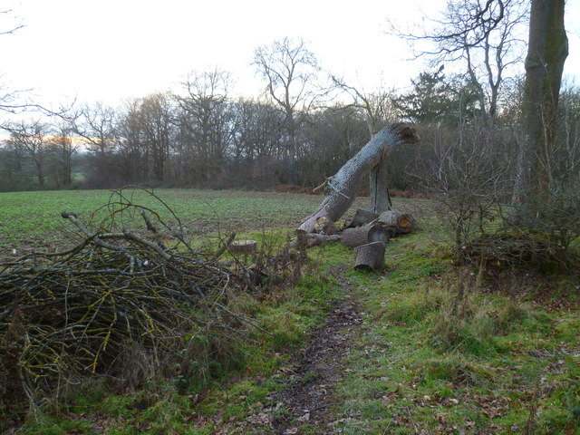
One of the notable features of Furzefield Wood is its rich and varied flora. The woodland is home to a wide range of tree species, including oak, beech, and birch trees. The forest floor is adorned with a carpet of bluebells during the spring, creating a stunning display of vibrant colors. In addition to the trees and flowers, the wood is also teeming with ferns, mosses, and other undergrowth.

The biodiversity of Furzefield Wood extends beyond its plant life. It provides a habitat for numerous animal species, including deer, foxes, and a variety of bird species. The wood is particularly popular among birdwatchers, as it offers opportunities to spot native and migratory birds such as woodpeckers, owls, and warblers.

Visitors to Furzefield Wood can enjoy a range of recreational activities. There are well-maintained footpaths that wind through the woodland, allowing visitors to explore its beauty at their own pace. The wood also offers picnicking spots and areas for nature photography. It serves as a tranquil escape from the hustle and bustle of city life, providing a peaceful and serene environment for relaxation and connection with nature.

Overall, Furzefield Wood is a natural gem in Sussex, offering a diverse range of plant and animal life, as well as opportunities for outdoor recreation and tranquility.

If you have any feedback on the listing, please let us know in the comments section below.

Furzefield Wood Images

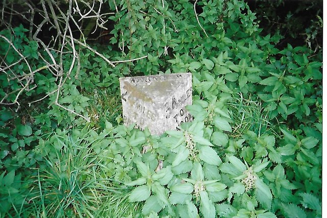
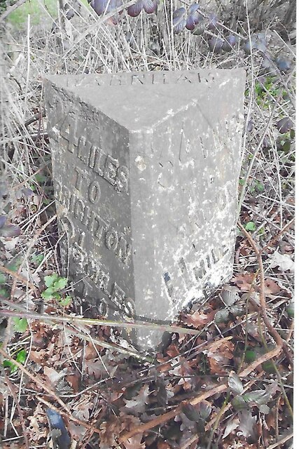
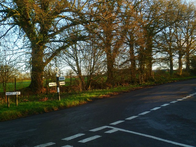
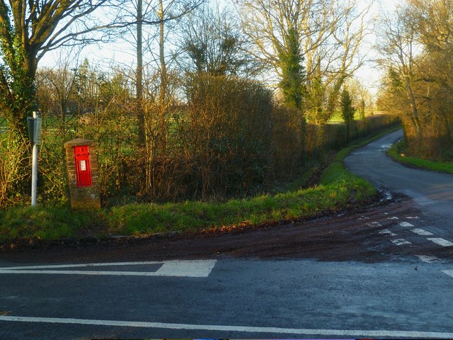
Images are sourced within 2km of 51.082763/-0.35147393 or Grid Reference TQ1532. Thanks to Geograph Open Source API. All images are credited.

New bridleway off Bell Lane The footpath leading south-east off Bell Lane to the old Dorking Road (now sequestered by the A24 dual carriageway) has recently been upgraded to bridleway, no. 3647_1.
New bridleway off Bell Lane
The footpath leading south-east off Bell Lane to the old Dorking Road (now sequestered by the A24 dual carriageway) has recently been upgraded to bridleway, no. 3647_1.
Old Milestone by A24, Andrews Farm The Milestone is located by the road.  Parish of Warnham (Horsham District). Cast iron post, Horsham post design, erected by the Horsham & Dorking turnpike trust in the 19th Century. An earlier photograph can be found here: <a title="https://www.geograph.org.uk/photo/1596429" href="https://www.geograph.org.uk/photo/1596429">Link</a> 

Inscription reads:-  
24 MILES / TO / BRIGHTON / 2½ / TO / HORSHAM : : 34 MILES / TO / LONDON / 11 / MILES TO / DORKING : : WARNHAM  

Milestone Society National ID: SX_LA34
Old Milestone by A24, Andrews Farm
The Milestone is located by the road.  Parish of Warnham (Horsham District). Cast iron post, Horsham post design, erected by the Horsham & Dorking turnpike trust in the 19th Century. An earlier photograph can be found here: Link  Inscription reads:- 24 MILES / TO / BRIGHTON / 2½ / TO / HORSHAM : : 34 MILES / TO / LONDON / 11 / MILES TO / DORKING : : WARNHAM Milestone Society National ID: SX_LA34
Old Milestone by A24, Andrews Farm The Milestone is located by the road.  Parish of Warnham (Horsham District). Cast iron post, Horsham post design, erected by the Horsham & Dorking turnpike trust in the 19th Century. An earlier photograph can be found here: <a title="https://www.geograph.org.uk/photo/7429171" href="https://www.geograph.org.uk/photo/7429171">Link</a> 

Inscription reads:-  
24 MILES / TO / BRIGHTON / 2½ / TO / HORSHAM : : 34 MILES / TO / LONDON / 11 / MILES TO / DORKING : : WARNHAM  

Milestone Society National ID: SX_LA34
Old Milestone by A24, Andrews Farm
The Milestone is located by the road.  Parish of Warnham (Horsham District). Cast iron post, Horsham post design, erected by the Horsham & Dorking turnpike trust in the 19th Century. An earlier photograph can be found here: Link  Inscription reads:- 24 MILES / TO / BRIGHTON / 2½ / TO / HORSHAM : : 34 MILES / TO / LONDON / 11 / MILES TO / DORKING : : WARNHAM Milestone Society National ID: SX_LA34
School Hill, Warnham School Hill in the village of Warnham, in West Sussex
School Hill, Warnham
School Hill in the village of Warnham, in West Sussex
Timber-framed outbuilding at Bailing Hill Farm - with antler trophies Bailing Hill (on the Warnham Park estate) is currently run as a deer farm - hence the antler trophies.  Apart from the smallish trophies fixed to the first-floor frame, notice the huge pair of antlers on the ground at the far end of the building.   <span class="nowrap"><a title="http://www.warnhampark.com/" rel="nofollow ugc noopener" href="http://www.warnhampark.com/">Link</a><img style="margin-left:2px;" alt="External link" title="External link - shift click to open in new window" src="https://s1.geograph.org.uk/img/external.png" width="10" height="10"/></span>
Timber-framed outbuilding at Bailing Hill Farm - with antler trophies
Bailing Hill (on the Warnham Park estate) is currently run as a deer farm - hence the antler trophies. Apart from the smallish trophies fixed to the first-floor frame, notice the huge pair of antlers on the ground at the far end of the building. LinkExternal link
Former school, by Warnham village green A Victorian school building, overlooking the village green from the east.
Former school, by Warnham village green
A Victorian school building, overlooking the village green from the east.
Mid-18th century tombstone, Warnham churchyard The name is JOHN AGATE (if I've read it correctly) and the date July 1748.  The jawless skull is pretty typical of the rather heartless imagery to be found on 18th century tombstones.
Mid-18th century tombstone, Warnham churchyard
The name is JOHN AGATE (if I've read it correctly) and the date July 1748. The jawless skull is pretty typical of the rather heartless imagery to be found on 18th century tombstones.
Road junction at Pound Corner For another view see <a title="https://www.geograph.org.uk/photo/1852989" href="https://www.geograph.org.uk/photo/1852989">Link</a>.
Road junction at Pound Corner
For another view see Link.
Junction at Pound Corner with pillar box For a better view of the post box see <a title="https://www.geograph.org.uk/photo/1853267" href="https://www.geograph.org.uk/photo/1853267">Link</a>.
Junction at Pound Corner with pillar box
For a better view of the post box see Link.
Dwellings on Northlands Road
Bridleway goes south from Northlands Road through Benland Wood
Bend on Northlands Road with bridleway junction
Footpath with junction goes east near New Barn
Field view to unnamed woodland east of New Barn
Countryside view to the sinking sun
Bridleway goes southwards towards Warnham Manor from footpath crossing See also <a title="https://www.geograph.org.uk/photo/1853304" href="https://www.geograph.org.uk/photo/1853304">Link</a>.
Bridleway goes southwards towards Warnham Manor from footpath crossing
See also Link.
Log seating by crosstracks at Warnham
Houses on Tilletts Lane The camera is near the junction with Gregsons.
Houses on Tilletts Lane
The camera is near the junction with Gregsons.
Show me another place!

Furzefield Wood is located at Grid Ref: TQ1532 (Lat: 51.082763, Lng: -0.35147393)

Administrative County: West Sussex

District: Horsham

Police Authority: Sussex

What 3 Words

///slick.claps.bucks. Near Warnham, West Sussex

Related Wikis

E. Tredcroft's Ground

E. Tredcroft's Ground was a cricket ground at the Warnham Court estate, located at Horsham, Sussex. The first recorded match on the ground was in 1851...

Warnham

Warnham is a village and civil parish in the Horsham district of West Sussex, England. The village is centred 2 miles (3.2 km) north-northwest of Horsham...

Field Place, Warnham

Field Place is a Grade I listed house in Warnham, West Sussex, England. It is the birthplace of the poet Percy Bysshe Shelley, born there in 1792. The...

Broadbridge Heath

Broadbridge Heath is a village and civil parish in the Horsham district of West Sussex, England. It is about two miles (3 km) west from the historic centre...

Nearby Amenities

Located within 500m of 51.082763,-0.35147393
Barrier: kissing_gate
Foot: yes
Lat/Long: 51.0787576/-0.3487133
Barrier: kissing_gate
Foot: yes
Lat/Long: 51.0830291/-0.3541858
Access: private
Lat/Long: 51.0849666/-0.3455364
Grotto
Leisure: garden
Lat/Long: 51.0844519/-0.3471565
Fountain
Lat/Long: 51.0847191/-0.3471594
Walled Garden
Leisure: garden
Lat/Long: 51.0851062/-0.3487906
Warnham Court
Place: isolated_dwelling
Lat/Long: 51.0847349/-0.3465317
Bailing Hill Farm
Place: farm
Lat/Long: 51.0832195/-0.355074
Goose Green
Place: hamlet
Lat/Long: 51.0825051/-0.3550955
Lyons Clumps
Natural: wood
Lat/Long: 51.079849/-0.35207
Wellingtonia Clump
Natural: wood
Lat/Long: 51.0795187/-0.354484
Bus Stop
Bailing Hill
Addr Village: Warnham
Bearing: SW
Naptan AtcoCode: 4400HO0306
Naptan NaptanCode: wsxgmjad
Public Transport: platform
Lat/Long: 51.0820369/-0.3549513
Bus Stop
Bailing Hill
Addr Street: Bailing Hill
Addr Village: Warnham
Bearing: NE
Naptan AtcoCode: 4400HO0302
Naptan NaptanCode: wsxdtmgd
Public Transport: platform
Lat/Long: 51.0812649/-0.3555429
The data included in this document is from www.openstreetmap.org. The data is made available under ODbL.

Have you been to Furzefield Wood?

Leave your review of Furzefield Wood below (or comments, questions and feedback).