Great Copse
Wood, Forest in Surrey Mole Valley
England
Great Copse
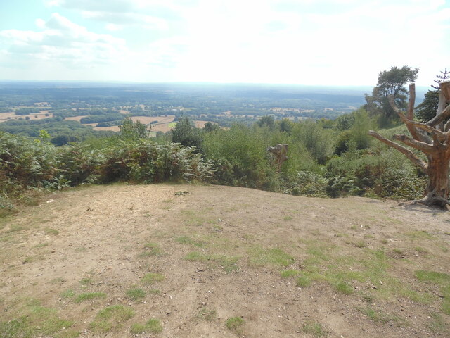
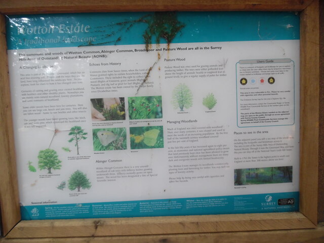
Great Copse is a picturesque woodland located in the county of Surrey, England. Covering an area of approximately 100 acres, this enchanting forest is a haven for nature lovers and outdoor enthusiasts. The copse is situated on the outskirts of a small village, providing a peaceful and tranquil escape from the hustle and bustle of city life.
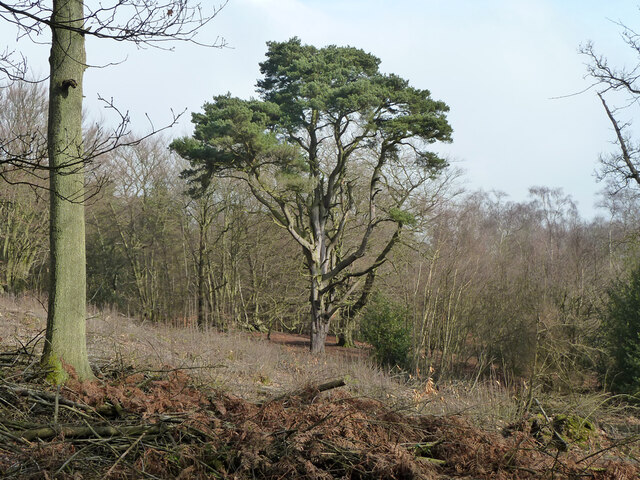
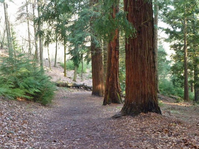
The woodland is predominantly comprised of a mix of deciduous and coniferous trees, including oak, beech, and pine, creating a diverse and vibrant ecosystem. The dense canopy of trees provides ample shade, making it an ideal destination for a leisurely stroll or a nature hike, particularly during hot summer months.
Great Copse is home to a variety of wildlife, including deer, foxes, and numerous bird species. Birdwatchers will delight in the opportunity to spot woodpeckers, owls, and various songbirds in their natural habitat. Additionally, the copse is known for its rich flora, with wildflowers carpeting the forest floor in vibrant displays during the spring and summer seasons.
The woodland features a network of well-maintained footpaths, allowing visitors to explore its beauty at their own pace. There are also several picnic areas scattered throughout the copse, providing a perfect spot to enjoy a packed lunch amidst the serenity of nature.
Great Copse is a cherished local attraction, drawing visitors from nearby towns and cities. Its natural beauty, coupled with its accessibility and peaceful ambiance, make it an idyllic destination for nature enthusiasts and those seeking a welcome respite from the demands of everyday life.
If you have any feedback on the listing, please let us know in the comments section below.
Great Copse Images
Images are sourced within 2km of 51.166477/-0.3469893 or Grid Reference TQ1542. Thanks to Geograph Open Source API. All images are credited.


Great Copse is located at Grid Ref: TQ1542 (Lat: 51.166477, Lng: -0.3469893)
Administrative County: Surrey
District: Mole Valley
Police Authority: Surrey
What 3 Words
///heaven.personal.jumped. Near Holmwood, Surrey
Nearby Locations
Related Wikis

Broome Hall
Broome Hall is a Grade II-listed country house with grounds including cottages and outhouses on the wooded, upper southern slopes of the Greensand Ridge...

Greensand Ridge
The Greensand Ridge, also known as the Wealden Greensand, is an extensive, prominent, often wooded, mixed greensand/sandstone escarpment in south-east...

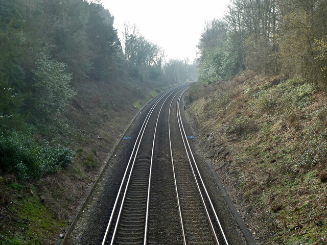
Ockley railway station
Ockley railway station serves the villages of Ockley and Capel in Surrey, England and is 1.4 miles (2.3 km) from Ockley village and 0.5 miles (0.80 km...

Leith Hill
Leith Hill in southern England is the highest summit of the Greensand Ridge, approximately 6.7 km (4 mi) southwest of Dorking, Surrey and 40.5 km (30 mi...

Leith Hill multiple aircraft accident
On 26 November 1944, four C-47 transport aircraft of the 442nd Operations Group departed from Advanced Landing Ground "A-4 in Pays de la Loire, northern...

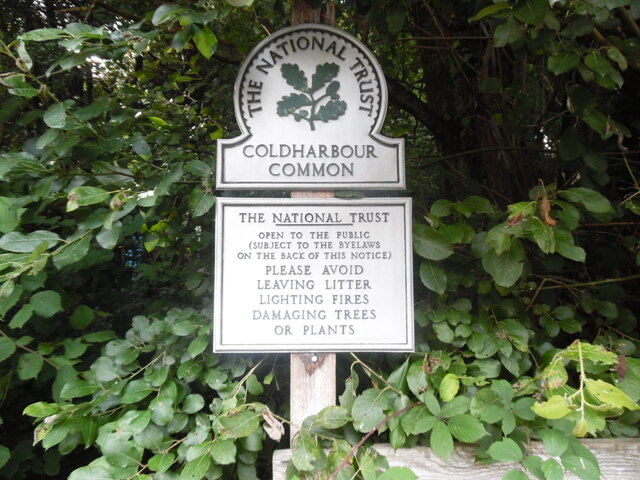
Coldharbour, Surrey
Coldharbour is a hamlet in the Mole Valley district, in the English county of Surrey. It is on a minor road from Dorking to Leith Hill Place. == Description... ==

Capel, Surrey
Capel () is a village and civil parish in southern Surrey, England. It is equidistant between Dorking and Horsham – about 5 miles (8.0 km) away. Around...

Ockley
Ockley is a rural village in Surrey. It lies astride the A29, the modern road using the alignment of Stane Street (Chichester). The A29 diverges from the...
Nearby Amenities
Located within 500m of 51.166477,-0.3469893Have you been to Great Copse?
Leave your review of Great Copse below (or comments, questions and feedback).