Bushy Copse
Wood, Forest in Surrey Mole Valley
England
Bushy Copse

Bushy Copse is a picturesque woodland located in the county of Surrey, England. Situated near the town of Guildford, this enchanting forest covers an area of approximately 100 acres. Known for its abundant natural beauty and diverse wildlife, Bushy Copse is a popular destination for nature enthusiasts and outdoor lovers.
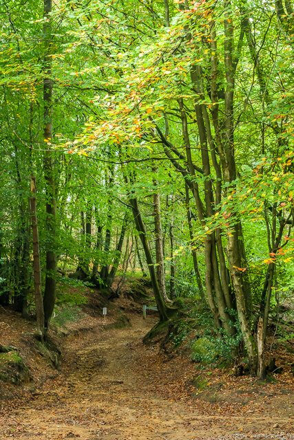
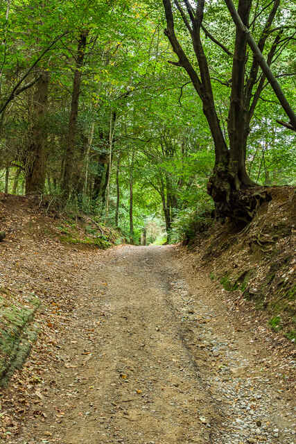
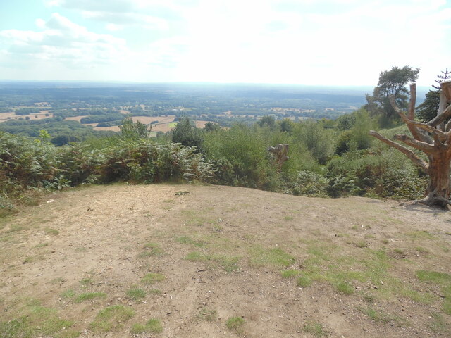
The forest is characterized by its dense canopy of broadleaf trees, including oak, beech, and birch. These towering trees create a serene and tranquil atmosphere, making it a perfect retreat from the hustle and bustle of everyday life. Walking through the woodland, visitors can enjoy the soothing sounds of birdsong and the gentle rustling of leaves underfoot.
Bushy Copse is home to an array of wildlife, providing a habitat for various species. The forest is particularly renowned for its birdlife, with species such as woodpeckers, nightingales, and tawny owls frequently spotted amongst the trees. Nature enthusiasts may also catch a glimpse of foxes, squirrels, and deer as they explore the woodland trails.
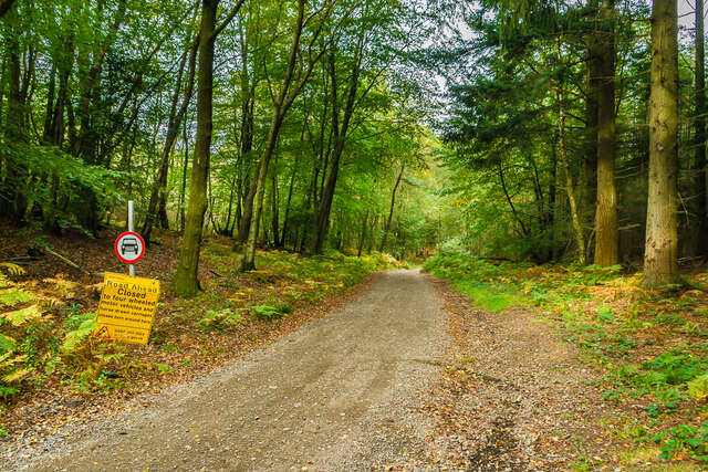
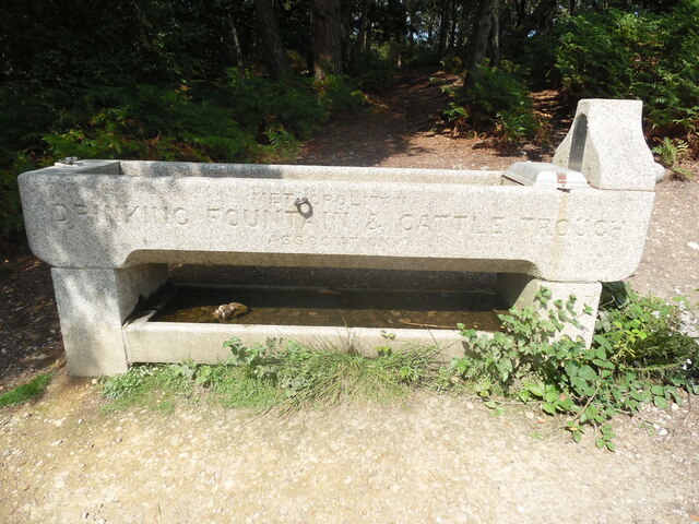
The forest offers a network of well-maintained footpaths and trails, allowing visitors to fully immerse themselves in the natural surroundings. These pathways wind their way through the forest, offering breathtaking views and opportunities for peaceful contemplation. Additionally, there are designated picnic areas and benches scattered throughout the woodland, providing a perfect spot for visitors to relax and enjoy a picnic amidst nature.
Overall, Bushy Copse is a delightful woodland that showcases the beauty of Surrey's natural landscape. With its diverse array of flora and fauna, it offers a tranquil escape for those seeking solace in nature's embrace.
If you have any feedback on the listing, please let us know in the comments section below.
Bushy Copse Images
Images are sourced within 2km of 51.174165/-0.34950399 or Grid Reference TQ1542. Thanks to Geograph Open Source API. All images are credited.


Bushy Copse is located at Grid Ref: TQ1542 (Lat: 51.174165, Lng: -0.34950399)
Administrative County: Surrey
District: Mole Valley
Police Authority: Surrey
What 3 Words
///drag.boats.voted. Near Holmwood, Surrey
Nearby Locations
Related Wikis

Broome Hall
Broome Hall is a Grade II-listed country house with grounds including cottages and outhouses on the wooded, upper southern slopes of the Greensand Ridge...

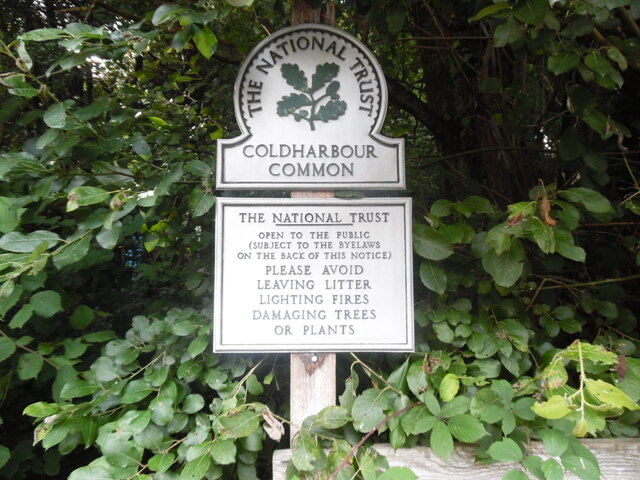
Coldharbour, Surrey
Coldharbour is a hamlet in the Mole Valley district, in the English county of Surrey. It is on a minor road from Dorking to Leith Hill Place. == Description... ==

Leith Hill
Leith Hill in southern England is the highest summit of the Greensand Ridge, approximately 6.7 km (4 mi) southwest of Dorking, Surrey and 40.5 km (30 mi...

Leith Hill multiple aircraft accident
On 26 November 1944, four C-47 transport aircraft of the 442nd Operations Group departed from Advanced Landing Ground "A-4 in Pays de la Loire, northern...

Greensand Ridge
The Greensand Ridge, also known as the Wealden Greensand, is an extensive, prominent, often wooded, mixed greensand/sandstone escarpment in south-east...

Holmwood railway station
Holmwood railway station serves the villages of Beare Green and South Holmwood in Surrey, England, on the Sutton and Mole Valley Lines between Dorking...

Leith Hill SSSI
Leith Hill SSSI is a 337.9-hectare (835-acre) biological Site of Special Scientific Interest south-east of Dorking in Surrey. The SSSI consists of four...

Ockley railway station
Ockley railway station serves the villages of Ockley and Capel in Surrey, England and is 1.4 miles (2.3 km) from Ockley village and 0.5 miles (0.80 km...
Nearby Amenities
Located within 500m of 51.174165,-0.34950399Have you been to Bushy Copse?
Leave your review of Bushy Copse below (or comments, questions and feedback).