Broom Copse

Wood, Forest in Surrey Mole Valley

England

Broom Copse

Forest Green - Etherley Farm Llamas and barns in a paddock beside the Etherley Farm Loop Walk which passes through the Leith Hill Place estate.
Forest Green - Etherley Farm Credit: Colin Smith

Broom Copse is an enchanting woodland located in the county of Surrey in southern England. Covering an area of approximately 30 acres, this ancient forest is a haven for nature enthusiasts and a popular destination for those seeking tranquility amidst the bustling city life.

The copse is predominantly composed of native broad-leaved trees, such as oak, beech, and birch, which form a dense canopy, creating a shaded and cool environment. The forest floor is carpeted with an array of wildflowers, ferns, and mosses, adding to its picturesque beauty.

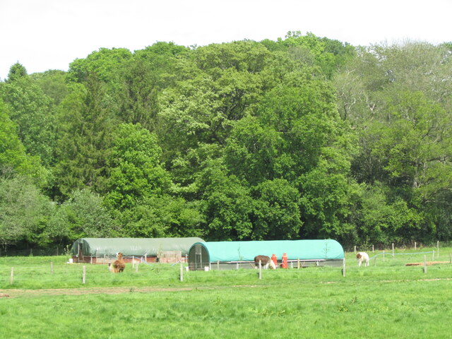
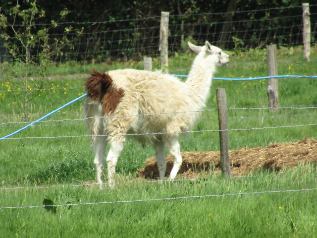
Several well-maintained walking trails wind their way through the copse, allowing visitors to explore the woodland at their leisure. These trails are suitable for all abilities, ranging from easy strolls to more challenging hikes for the avid adventurer. Along the way, visitors can spot a diverse range of wildlife, including deer, foxes, squirrels, and a multitude of bird species.

Broom Copse is also home to a variety of fascinating flora and fauna. The forest boasts a rich biodiversity, with numerous species of fungi, lichens, and insects thriving within its boundaries. Additionally, the copse is known for its vibrant autumn colors, as the leaves of the deciduous trees transform into a breathtaking tapestry of reds, oranges, and yellows.

Being situated in a rural area, Broom Copse offers a peaceful escape from the noise and pollution of urban life. It is a place where visitors can immerse themselves in the serenity of nature, taking in the fresh air and reveling in the beauty of this woodland gem.

If you have any feedback on the listing, please let us know in the comments section below.
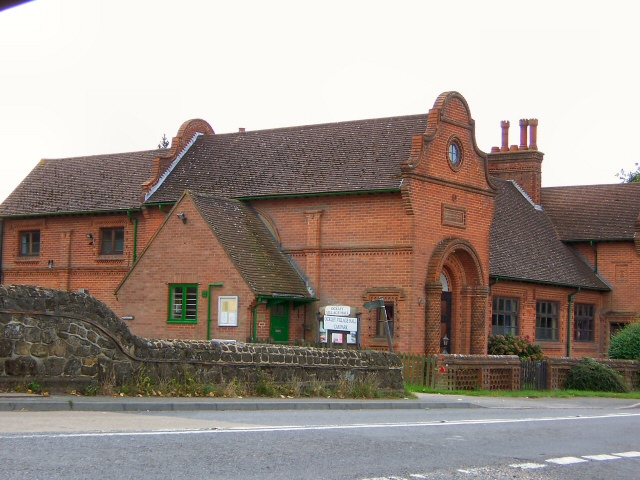
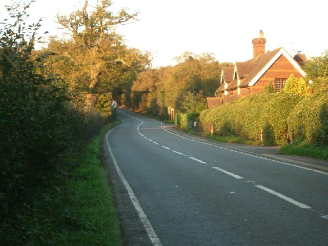
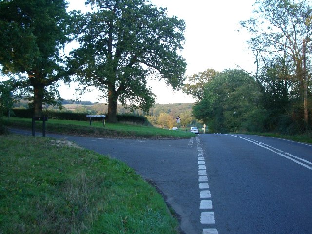
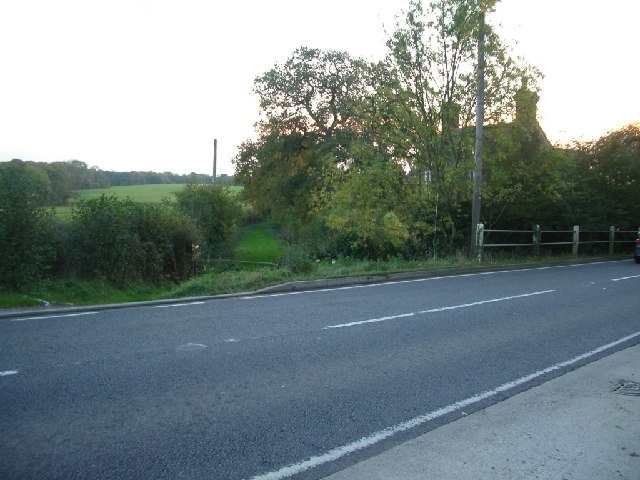
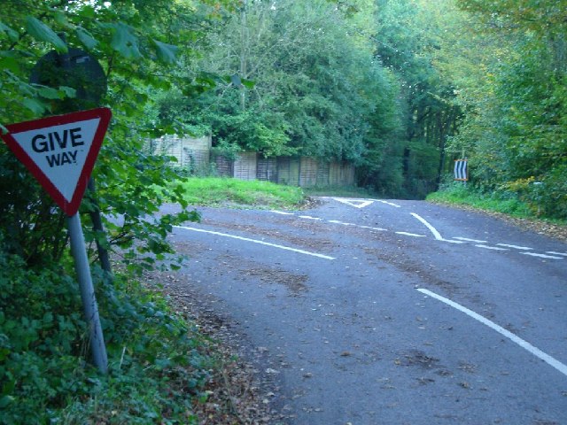
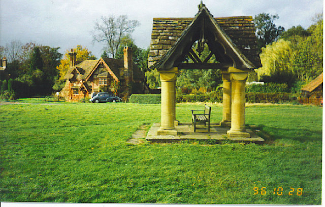
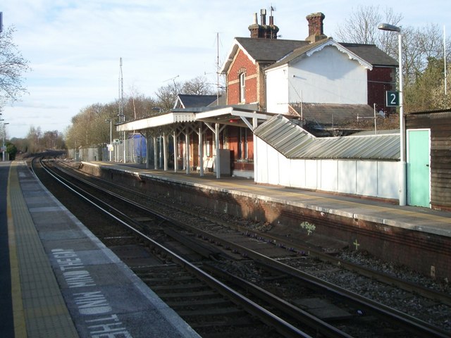
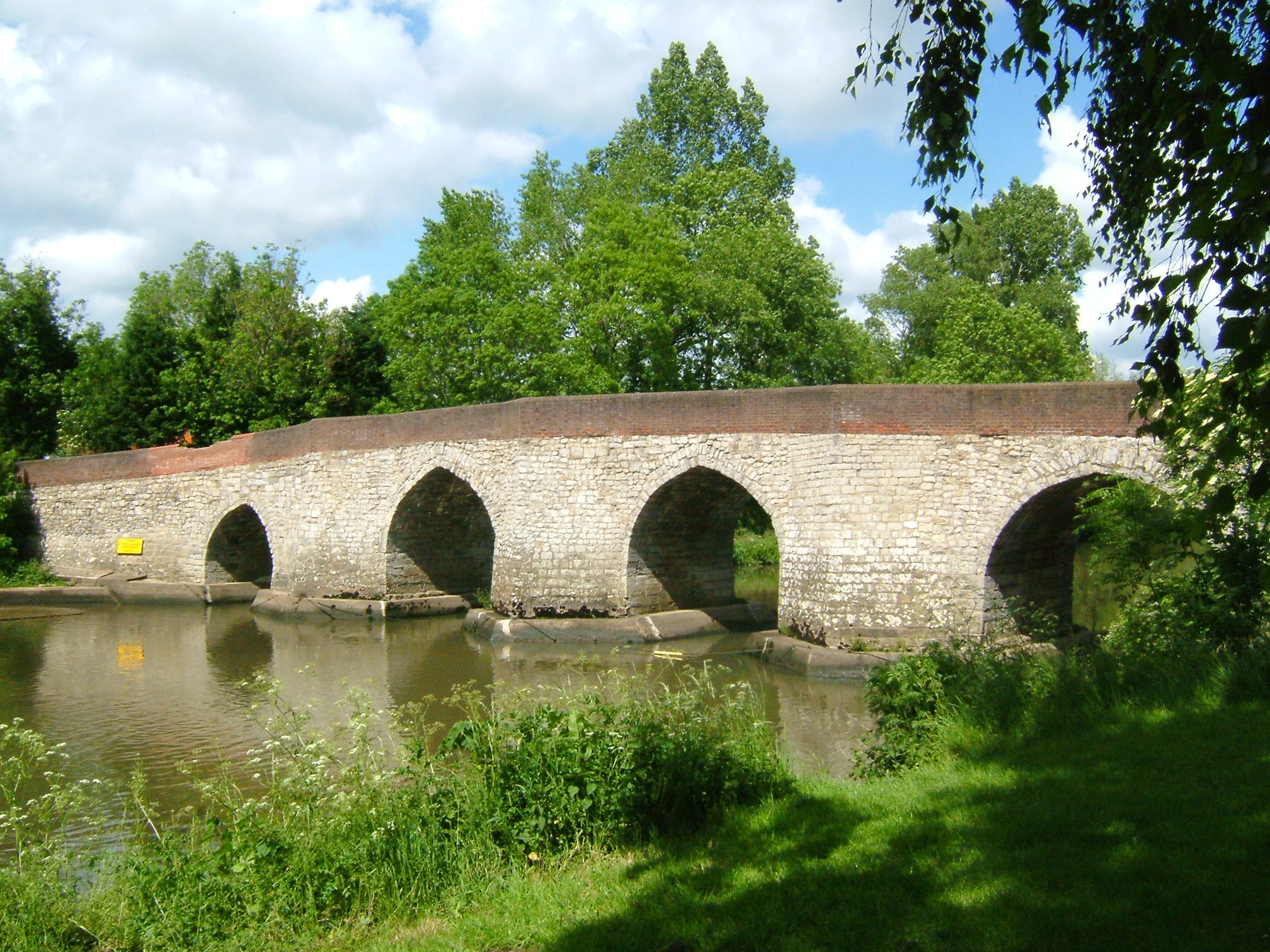
Broom Copse Images

Images are sourced within 2km of 51.158119/-0.35691239 or Grid Reference TQ1441. Thanks to Geograph Open Source API. All images are credited.

Forest Green - Etherley Farm Llamas and barns in a paddock beside the Etherley Farm Loop Walk which passes through the Leith Hill Place estate.
Forest Green - Etherley Farm
Llamas and barns in a paddock beside the Etherley Farm Loop Walk which passes through the Leith Hill Place estate.
Etherley Farm - Llama Exotic beast at Etherley Farm, seen on the loop walk from Leith Hill Place.
Etherley Farm - Llama
Exotic beast at Etherley Farm, seen on the loop walk from Leith Hill Place.
Forest Green - Etherley Farm Buttercups and contented cows in the Wealden sunshine.
Forest Green - Etherley Farm
Buttercups and contented cows in the Wealden sunshine.
View from Leith Hill Place This photo shows the view looking south from Leith Hill Place towards the South Downs in the distance.
View from Leith Hill Place
This photo shows the view looking south from Leith Hill Place towards the South Downs in the distance.
Railway bridge by Ockley station The station approach is on the right.
Railway bridge by Ockley station
The station approach is on the right.
The A29 turns away from the Roman line The Roman Stane Street continues at first as a private drive and public footpath. Only fragments of the onwards route over hilly terrain are now public rights-of-way until rejoined by the A29 which takes a longer but easier way round.
The A29 turns away from the Roman line
The Roman Stane Street continues at first as a private drive and public footpath. Only fragments of the onwards route over hilly terrain are now public rights-of-way until rejoined by the A29 which takes a longer but easier way round.
Ockley Village Hall On Stone Street (now the A29), the old Roman road, at Ockley. The village hall is just up the road from the cricket ground.
Ockley Village Hall
On Stone Street (now the A29), the old Roman road, at Ockley. The village hall is just up the road from the cricket ground.
Junction of Abinger Road (left) with Etherley Hill (Ockley Road) looking south-east
Junction of Abinger Road (left) with Etherley Hill (Ockley Road)
looking south-east
Field south of Ockley Road looking south
Field south of Ockley Road
looking south
The bend in Ockley Road where it turns into Forest Green Road looking east
The bend in Ockley Road where it turns into Forest Green Road
looking east
Stane Street, just north of Ockley Looking NNE
Stane Street, just north of Ockley
Looking NNE
Junction of Broomehall Road (left) with Burywood Hill (Stane Street) looking NNE
Junction of Broomehall Road (left) with Burywood Hill (Stane Street)
looking NNE
Beare Green Road, at Park Lodge looking south-west
Beare Green Road, at Park Lodge
looking south-west
Junction of Henhurst Cross Road (foreground) with Beare Green Road (ahead/right) looking south
Junction of Henhurst Cross Road (foreground) with Beare Green Road (ahead/right)
looking south
The Well at Ockley. On the green beside the busy A29.
The Well at Ockley.
On the green beside the busy A29.
Leith Hill  Place Wood Bluebells and bracken beside the circular footpath from Leith Hill Tower. The path runs downhill (south), to Leith Hill Place (annual music festival begun by Ralph Vaughan Williams) and Rhododendron Gardens (west), then north and east back to the tower on the hill top.
Leith Hill Place Wood
Bluebells and bracken beside the circular footpath from Leith Hill Tower. The path runs downhill (south), to Leith Hill Place (annual music festival begun by Ralph Vaughan Williams) and Rhododendron Gardens (west), then north and east back to the tower on the hill top.
Ockley station looking north
Ockley station
looking north
Broome Hall
Broome Hall
Show me another place!

Broom Copse is located at Grid Ref: TQ1441 (Lat: 51.158119, Lng: -0.35691239)

Administrative County: Surrey

District: Mole Valley

Police Authority: Surrey

What 3 Words

///absorb.third.keyboard. Near Capel, Surrey

Related Wikis

Greensand Ridge

The Greensand Ridge, also known as the Wealden Greensand, is an extensive, prominent, often wooded, mixed greensand/sandstone escarpment in south-east...

Ockley

Ockley is a rural village in Surrey. It lies astride the A29, the modern road using the alignment of Stane Street (Chichester). The A29 diverges from the...

Broome Hall

Broome Hall is a Grade II-listed country house with grounds including cottages and outhouses on the wooded, upper southern slopes of the Greensand Ridge...

Ockley railway station

Ockley railway station serves the villages of Ockley and Capel in Surrey, England and is 1.4 miles (2.3 km) from Ockley village and 0.5 miles (0.80 km...

Leith Hill

Leith Hill in southern England is the highest summit of the Greensand Ridge, approximately 6.7 km (4 mi) southwest of Dorking, Surrey and 40.5 km (30 mi...

Leith Hill multiple aircraft accident

On 26 November 1944, four C-47 transport aircraft of the 442nd Operations Group departed from Advanced Landing Ground "A-4 in Pays de la Loire, northern...

Vann Lake and Ockley Woods

Vann Lake and Ockley Woods is a 57.8-hectare (143-acre) biological Site of Special Scientific Interest south of Ockley in Surrey. Vann Lake is part of...

Greensand Way

The Greensand Way is a long-distance path of 108 miles (174 km) in southeast England, from Haslemere in Surrey to Hamstreet in Kent. It follows the Greensand...

Nearby Amenities

Located within 500m of 51.158119,-0.35691239
Power: pole
Lat/Long: 51.1597048/-0.3535493
Power: pole
Lat/Long: 51.1598163/-0.3549254
Power: pole
Lat/Long: 51.1598953/-0.3563644
Power: pole
Lat/Long: 51.1599703/-0.3575982
Power: pole
Lat/Long: 51.1601063/-0.3596447
Power: pole
Lat/Long: 51.1600316/-0.3628297
Power: pole
Lat/Long: 51.1591696/-0.3506075
Fire Hydrant
Emergency: fire_hydrant
Fire Hydrant Type: underground
Lat/Long: 51.154773/-0.3566662
Power: pole
Lat/Long: 51.1594352/-0.3520822
Power: pole
Lat/Long: 51.1595995/-0.3517059
Power: pole
Lat/Long: 51.1600647/-0.3627983
Power: pole
Lat/Long: 51.160142/-0.3596225
Power: pole
Lat/Long: 51.1600142/-0.3575975
Power: pole
Lat/Long: 51.1599444/-0.3563596
Power: pole
Lat/Long: 51.1598872/-0.3548978
Power: pole
Lat/Long: 51.1597863/-0.3535084
The data included in this document is from www.openstreetmap.org. The data is made available under ODbL.

Have you been to Broom Copse?

Leave your review of Broom Copse below (or comments, questions and feedback).