Bedlam Plantation

Wood, Forest in Lincolnshire West Lindsey

England

Bedlam Plantation

Thorpe Lane Definitely not a ford!
Thorpe Lane Credit: David Brown

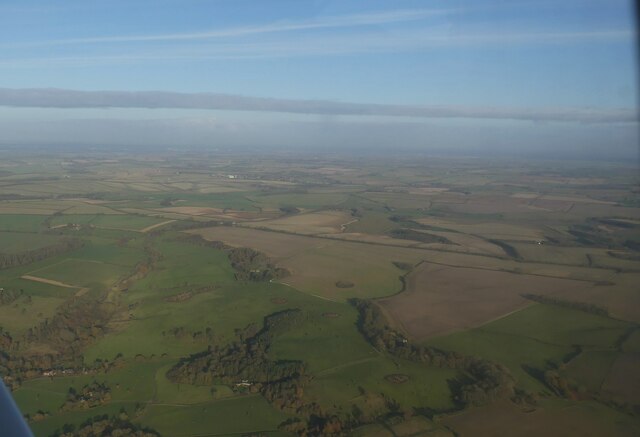
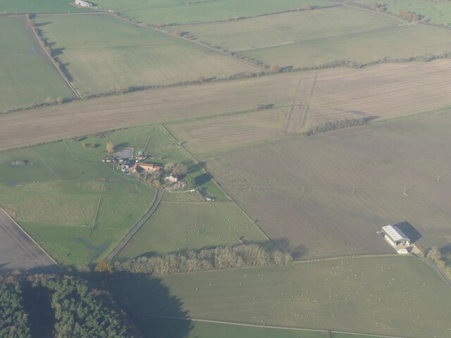
Bedlam Plantation, located in Lincolnshire, England, is a historic estate nestled in a picturesque woodland and forest area. Spread across acres of serene and lush greenery, the plantation offers a tranquil escape from the bustling city life.

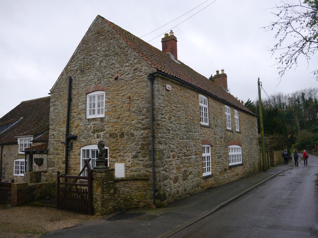
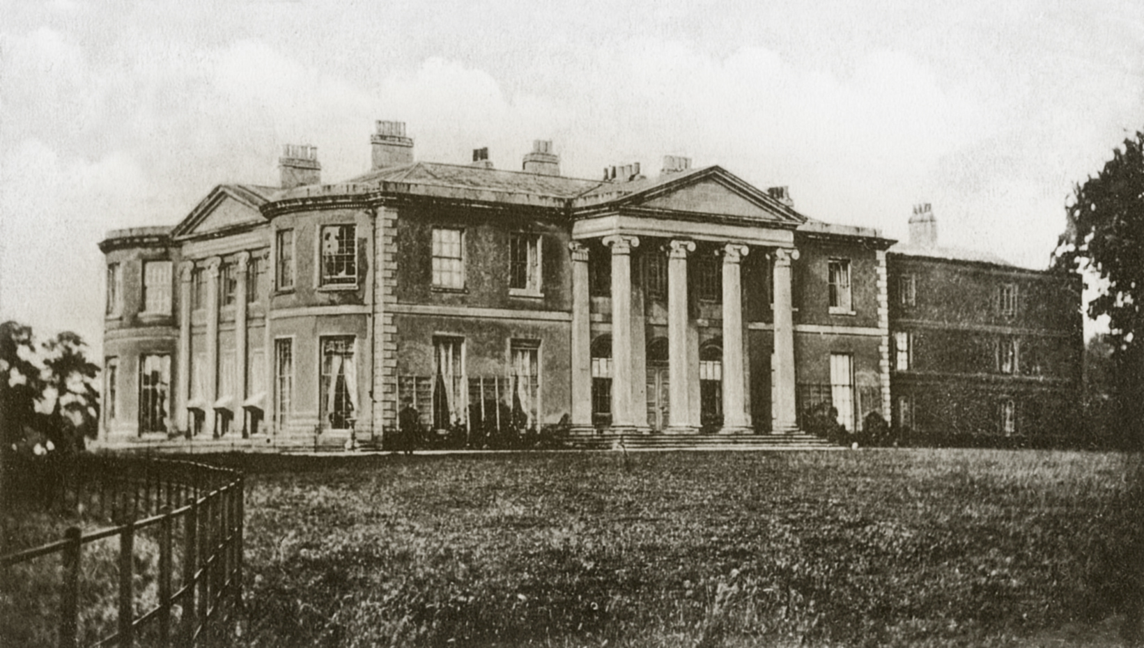
The plantation is renowned for its rich history, dating back several centuries. Originally established as a hunting ground for the aristocracy, Bedlam Plantation evolved into a fully functional estate with a grand manor house at its heart. The manor house, built in the elegant Georgian style, stands as a testament to the architectural finesse of the era.

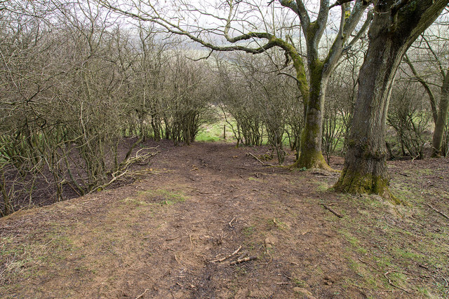
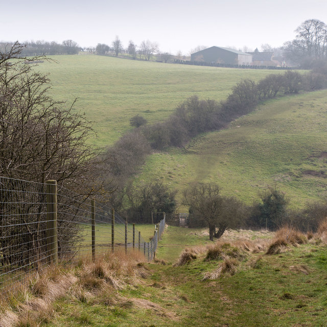
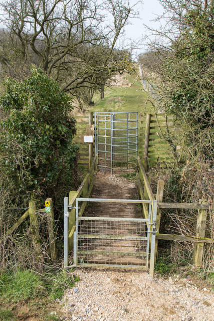
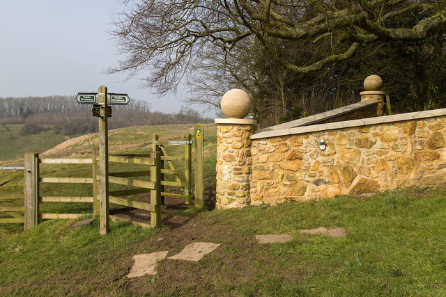
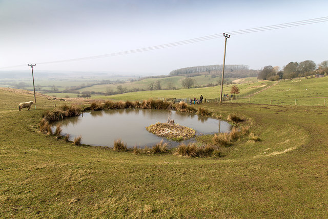
The woodland surrounding Bedlam Plantation is a haven for nature enthusiasts and outdoor lovers. Dense and diverse, the forest is home to a myriad of flora and fauna, including ancient oak trees, vibrant wildflowers, and a plethora of bird species. Visitors can explore the well-maintained walking trails that meander through the woods, offering breathtaking views and opportunities for peaceful contemplation.

In addition to its natural beauty, Bedlam Plantation offers various amenities to enhance the visitor experience. The estate boasts a charming tearoom where guests can indulge in delicious homemade treats and beverages, while enjoying the idyllic surroundings. The tearoom also often hosts art exhibitions and cultural events, further enriching the plantation's offerings.

Bedlam Plantation is a popular destination for both locals and tourists seeking a retreat into nature and history. Its enchanting woodland, coupled with the grandeur of the manor house, creates an atmosphere of tranquility and nostalgia that leaves an indelible impression on all who visit.

If you have any feedback on the listing, please let us know in the comments section below.

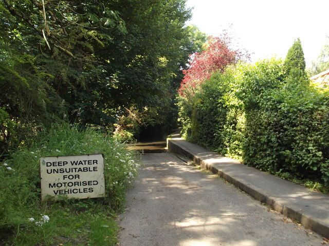
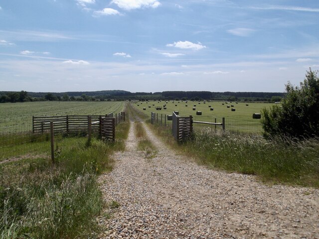
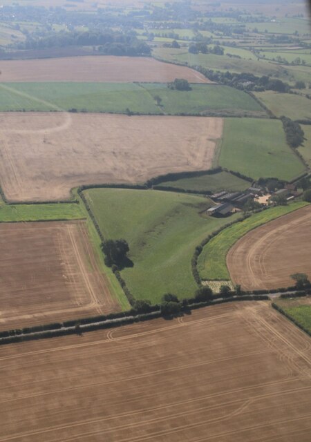
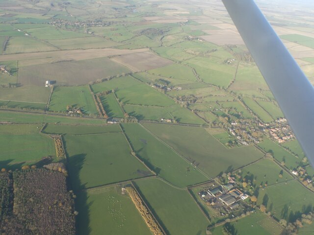
Bedlam Plantation Images

Images are sourced within 2km of 53.408689/-0.27125518 or Grid Reference TF1591. Thanks to Geograph Open Source API. All images are credited.

Thorpe Lane Definitely not a ford!
Thorpe Lane
Definitely not a ford!
Making hay while the sun shines
Walesby Top: aerial 2023
Tealby Moor and Tealby Thorpe: aerial 2023
Woods and farmland east of Tealby: aerial 2023
Risby Moor, near Tealby: aerial 2023
Near Grange Farm Field boundary north of Grange Farm.
Near Grange Farm
Field boundary north of Grange Farm.
Cut Mark: Tealby, Tealby Vale Farm A cut bench mark is on the north angle of the farmhouse.  See <a title="https://www.geograph.org.uk/photo/4758086" href="https://www.geograph.org.uk/photo/4758086">Link</a> for a wider view and <span class="nowrap"><a title="http://www.bench-marks.org.uk/bm71959" rel="nofollow ugc noopener" href="http://www.bench-marks.org.uk/bm71959">Link</a><img style="margin-left:2px;" alt="External link" title="External link - shift click to open in new window" src="https://s1.geograph.org.uk/img/external.png" width="10" height="10"/></span> for details of the mark.
Cut Mark: Tealby, Tealby Vale Farm
A cut bench mark is on the north angle of the farmhouse. See Link for a wider view and LinkExternal link for details of the mark.
Tealby Vale Farm, Tealby The nearest angle carries a cut bench mark.  See <a title="https://www.geograph.org.uk/photo/4758085" href="https://www.geograph.org.uk/photo/4758085">Link</a> for a close-up and <span class="nowrap"><a title="http://www.bench-marks.org.uk/bm71959" rel="nofollow ugc noopener" href="http://www.bench-marks.org.uk/bm71959">Link</a><img style="margin-left:2px;" alt="External link" title="External link - shift click to open in new window" src="https://s1.geograph.org.uk/img/external.png" width="10" height="10"/></span> for details of the mark.
Tealby Vale Farm, Tealby
The nearest angle carries a cut bench mark. See Link for a close-up and LinkExternal link for details of the mark.
Village Hall, Walesby There is a very small car park behind the village hall with information boards for ramblers.
Village Hall, Walesby
There is a very small car park behind the village hall with information boards for ramblers.
The Ramblers' Church, Walesby The south side of the church on the Viking Way, also known as All Saints.
The Ramblers' Church, Walesby
The south side of the church on the Viking Way, also known as All Saints.
The Ramblers' Church, Walesby The south side of the church on the Viking Way, also known as All Saints.
The Ramblers' Church, Walesby
The south side of the church on the Viking Way, also known as All Saints.
The Ramblers' Church, Walesby The south side of the church on the Viking Way, also known as All Saints.
The Ramblers' Church, Walesby
The south side of the church on the Viking Way, also known as All Saints.
Viking Way descends through wood The Viking Way descends through the edge of a small wood. The going is quite muddy and slippery.
Viking Way descends through wood
The Viking Way descends through the edge of a small wood. The going is quite muddy and slippery.
Viking Way The Viking Way descends into a small valley with a high deer fence on the left.
Viking Way
The Viking Way descends into a small valley with a high deer fence on the left.
Obstacles on the Viking Way A gate, a footbridge and a high deer proof kissing gate, face walkers on this section of the Viking Way.
Obstacles on the Viking Way
A gate, a footbridge and a high deer proof kissing gate, face walkers on this section of the Viking Way.
Viking Way crosses a bridleway near Risby Manor
Small pond by the Viking Way A spring appears to feed this small pond by the side of the Viking Way.
(Neither of the power line poles are vertical).
Small pond by the Viking Way
A spring appears to feed this small pond by the side of the Viking Way. (Neither of the power line poles are vertical).
Show me another place!

Bedlam Plantation is located at Grid Ref: TF1591 (Lat: 53.408689, Lng: -0.27125518)

Administrative County: Lincolnshire

District: West Lindsey

Police Authority: Lincolnshire

What 3 Words

///interlude.gosh.themes. Near Market Rasen, Lincolnshire

Nearby Locations

Bedlam Plantation

Related Wikis

Tealby

Tealby is a village and civil parish in the West Lindsey district of Lincolnshire, England, situated on the edge of the Lincolnshire Wolds and 3 miles...

Walesby, Lincolnshire

Walesby is a village and civil parish in the West Lindsey district of Lincolnshire, England. The population of the civil parish at the 2011 census was...

Parts of Lindsey

The Parts of Lindsey are a traditional division of Lincolnshire, England, covering the northern part of the county. The Isle of Axholme, which is on the...

Willingham House

Willingham House was a country house in North Willingham (near Market Rasen), Lincolnshire, England. It was built around 1790 for Ayscoghe Boucherett...

North Willingham

North Willingham is a village and civil parish in the West Lindsey district of Lincolnshire, England. The population of the civil parish (including Sixhills...

Stainton le Vale

Stainton le Vale is a village in the civil parish of Thoresway in the West Lindsey district of Lincolnshire, England. It is situated about 6 miles (9...

Market Rasen Racecourse

Market Rasen Racecourse is a National Hunt racecourse in the town of Market Rasen, in Lincolnshire, England. It is owned and operated by Jockey Club Racecourses...

2008 Market Rasen earthquake

On 27 February 2008 at 00:56:47.8s GMT an earthquake occurred at Market Rasen, Lincolnshire. According to the British Geological Survey the earthquake...

Nearby Amenities

Located within 500m of 53.408689,-0.27125518
Power: pole
Lat/Long: 53.4093741/-0.2779695
Power: pole
Lat/Long: 53.4097445/-0.2770346
Power: pole
Lat/Long: 53.4100839/-0.2761777
Power: pole
Lat/Long: 53.4104148/-0.27535
Power: pole
Lat/Long: 53.4108204/-0.274361
Power: pole
Lat/Long: 53.4111991/-0.2734171
Power: pole
Lat/Long: 53.4115693/-0.2724848
Power: pole
Lat/Long: 53.4119341/-0.2715422
Power: pole
Lat/Long: 53.4123748/-0.2705391
Power: pole
Lat/Long: 53.4127273/-0.2696135
Castle Farm
Place: farm
Source: Bing
Lat/Long: 53.407167/-0.2747535
North Wold Farm
Place: farm
Source: Bing
Lat/Long: 53.4119725/-0.2668061
The data included in this document is from www.openstreetmap.org. The data is made available under ODbL.

Have you been to Bedlam Plantation?

Leave your review of Bedlam Plantation below (or comments, questions and feedback).