Fatting Hovel Copse
Wood, Forest in Surrey Mole Valley
England
Fatting Hovel Copse

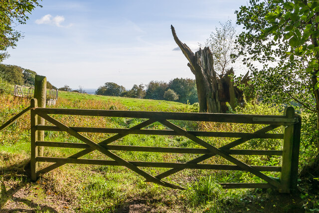
Fatting Hovel Copse is a picturesque woodland located in the county of Surrey, England. Covering an area of approximately 50 hectares, it is situated near the village of Tatsfield, southeast of London. The copse is characterized by its diverse range of tree species, including oak, beech, birch, and hornbeam.
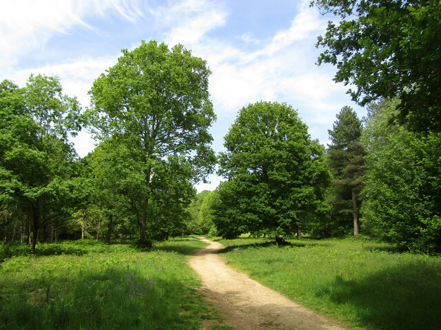
The woodland is known for its tranquil and serene atmosphere, making it a popular destination for nature enthusiasts and hikers. The rolling landscape, dotted with ancient trees and vibrant wildflowers, creates a stunning visual experience throughout the seasons.
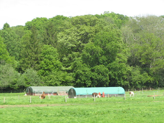
Fatting Hovel Copse is also home to a rich variety of wildlife. Visitors may encounter deer, foxes, badgers, and numerous bird species, including woodpeckers and owls. The copse is particularly important for its bird population, providing nesting grounds and a foraging habitat for many species.
The woodland is crisscrossed by a network of well-maintained footpaths, allowing visitors to explore its beauty at their own pace. These paths offer stunning views of the surrounding countryside and lead to hidden gems such as a small pond and a babbling brook.
Managed by the local council, Fatting Hovel Copse is protected as a Site of Nature Conservation Importance. This status ensures the preservation of its unique ecosystem and guarantees its accessibility to the public. The copse is a cherished natural asset for the local community, providing a peaceful retreat from the hustle and bustle of everyday life.
If you have any feedback on the listing, please let us know in the comments section below.
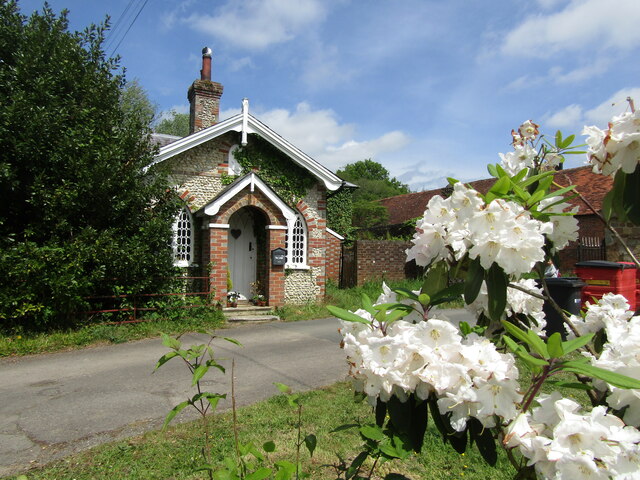
Fatting Hovel Copse Images
Images are sourced within 2km of 51.165436/-0.36441889 or Grid Reference TQ1441. Thanks to Geograph Open Source API. All images are credited.


Fatting Hovel Copse is located at Grid Ref: TQ1441 (Lat: 51.165436, Lng: -0.36441889)
Administrative County: Surrey
District: Mole Valley
Police Authority: Surrey
What 3 Words
///noun.tweed.ranks. Near Holmwood, Surrey
Nearby Locations
Related Wikis

Greensand Ridge
The Greensand Ridge, also known as the Wealden Greensand, is an extensive, prominent, often wooded, mixed greensand/sandstone escarpment in south-east...

Broome Hall
Broome Hall is a Grade II-listed country house with grounds including cottages and outhouses on the wooded, upper southern slopes of the Greensand Ridge...

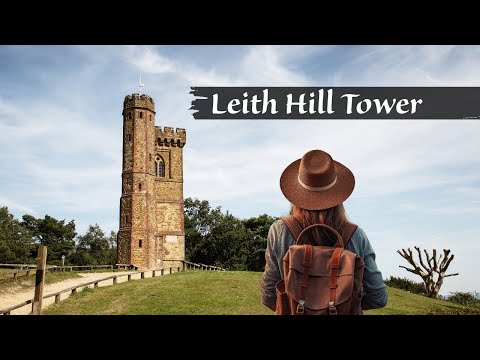
Leith Hill
Leith Hill in southern England is the highest summit of the Greensand Ridge, approximately 6.7 km (4 mi) southwest of Dorking, Surrey and 40.5 km (30 mi...

Leith Hill multiple aircraft accident
On 26 November 1944, four C-47 transport aircraft of the 442nd Operations Group departed from Advanced Landing Ground "A-4 in Pays de la Loire, northern...

Ockley
Ockley is a rural village in Surrey. It lies astride the A29, the modern road using the alignment of Stane Street (Chichester). The A29 diverges from the...

Coldharbour, Surrey
Coldharbour is a hamlet in the Mole Valley district, in the English county of Surrey. It is on a minor road from Dorking to Leith Hill Place. == Description... ==

Leith Hill SSSI
Leith Hill SSSI is a 337.9-hectare (835-acre) biological Site of Special Scientific Interest south-east of Dorking in Surrey. The SSSI consists of four...

Ockley railway station
Ockley railway station serves the villages of Ockley and Capel in Surrey, England and is 1.4 miles (2.3 km) from Ockley village and 0.5 miles (0.80 km...
Related Videos

Experience the Ultimate Beginner's Hiking Trail in England
A quiet corner of Surrey - woods, gentle hills and a lovely lunchtime pub Length 16.5km (10.3 miles), 5 hours. For the whole outing ...
Leith Hill | Gomshall to Dorking Walk | 4K | Day Hike Saturday | 🇬🇧 Hiking UK | England
This walk starts at Leigh station and heads west through parkland to the attractive village of Penshurst. After crossing the River ...
LEITH HILL TOWER | Drone 4k | National Trust Walk | Day Hike Saturday | 🇬🇧 Hiking UK | England
Holmwood to Gomshall walk Next event: http://www.senderismoenlondres.co.uk/events.html A very pretty forest walk, quite close ...
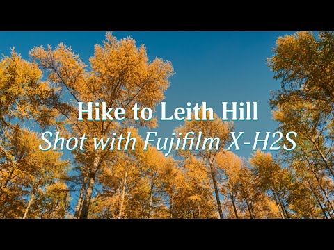
Hiking to Leith Hill - Shot with Fujifilm X-H2S
This was an organised hike to Leith Hill in Surrey with the LGBTQ+ and allied group Trek/Fit. In this video I show the beautiful ...
Nearby Amenities
Located within 500m of 51.165436,-0.36441889Have you been to Fatting Hovel Copse?
Leave your review of Fatting Hovel Copse below (or comments, questions and feedback).