Brickyard Wood
Wood, Forest in Sussex Horsham
England
Brickyard Wood
Brickyard Wood is a picturesque woodland located in Sussex, England. Situated in the heart of the South Downs National Park, this woodland covers an area of approximately 100 acres and is renowned for its natural beauty and diverse ecosystem.
The wood is predominantly composed of native tree species, including oak, beech, and ash, which create a dense canopy that provides shade and shelter for a wide range of flora and fauna. The forest floor is covered in a thick carpet of wildflowers, ferns, and mosses, adding to the enchanting atmosphere of the wood.
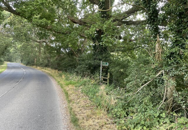
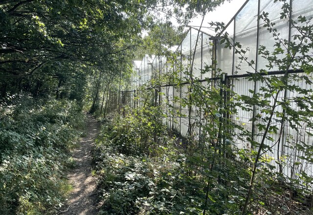
Visitors can enjoy a network of well-maintained footpaths that wind their way through the woodland, allowing them to explore the area at their own pace. These trails offer stunning views of the surrounding countryside and provide opportunities for nature enthusiasts to spot a variety of wildlife, such as deer, foxes, and numerous bird species.
Brickyard Wood is also a popular destination for outdoor activities, including walking, cycling, and picnicking. The peaceful ambiance and tranquil setting make it an ideal spot for nature lovers seeking a respite from the hustle and bustle of everyday life.
Additionally, the wood has a fascinating history, with remnants of an old brickworks site still visible within its boundaries. The bricks produced here were once used in the construction of local buildings, adding an interesting historical dimension to the woodland.
Overall, Brickyard Wood offers a harmonious blend of natural beauty, recreational opportunities, and historical significance, making it a must-visit destination for both locals and tourists alike.
If you have any feedback on the listing, please let us know in the comments section below.
Brickyard Wood Images
Images are sourced within 2km of 50.940472/-0.37231059 or Grid Reference TQ1416. Thanks to Geograph Open Source API. All images are credited.


Brickyard Wood is located at Grid Ref: TQ1416 (Lat: 50.940472, Lng: -0.37231059)
Administrative County: West Sussex
District: Horsham
Police Authority: Sussex
What 3 Words
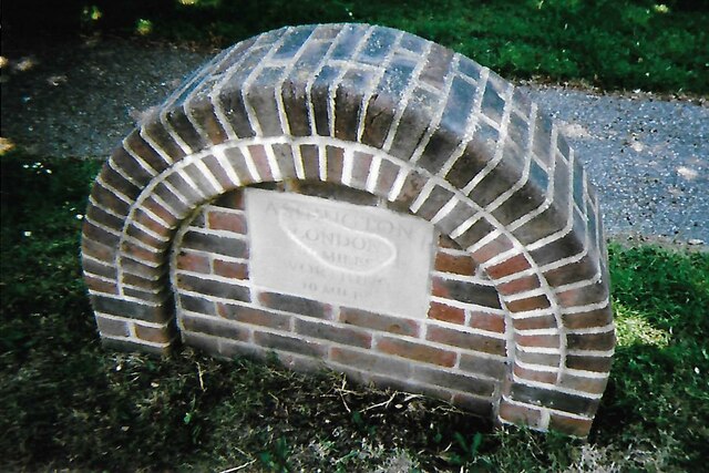
///acclaimed.could.guardian. Near Ashington, West Sussex
Nearby Locations
Related Wikis

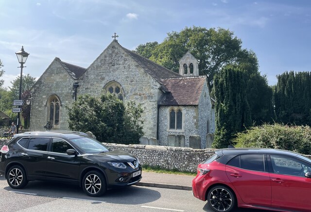
Ashington, West Sussex
Ashington is a village and civil parish in the Horsham District of West Sussex, England. It lies on the A24 road 3 miles (4.8 km) north-east of Storrington...

Wiston, West Sussex
Wiston is a scattered village and civil parish in the Horsham District of West Sussex, England. It lies on the A283 road 2.8 miles (4.5 km) northwest of...

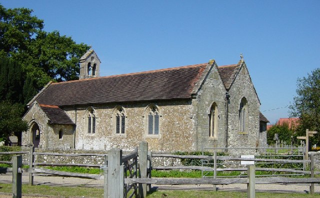
Church of the Holy Sepulchre, Warminghurst
The Church of the Holy Sepulchre is a former Anglican church in the hamlet of Warminghurst in the district of Horsham, one of seven local government districts...

Warminghurst
Warminghurst is a village and former civil parish, now in the parish of Thakeham, in the Horsham district of West Sussex, England. It lies on the Ashington...

Dial Post
Dial Post is a village in the Horsham District of West Sussex, England. The civil parish, where the lowest level political meetings are held, is West Grinstead...

Brightling Park
Brightling Park (previously known as Rose Hill) is a country estate which lies in the parishes of Brightling and Dallington in the Rother district of East...

Buncton
Buncton () is a small village in the Horsham District of West Sussex, England, part of the civil parish of Wiston 0.5 miles (0.80 km) north. It lies to...
All Saints Church, Buncton
All Saints Church is an Anglican church in the hamlet of Buncton in the district of Horsham, one of seven local government districts in the English county...
Nearby Amenities
Located within 500m of 50.940472,-0.37231059Have you been to Brickyard Wood?
Leave your review of Brickyard Wood below (or comments, questions and feedback).