Folksworth Spinney

Wood, Forest in Huntingdonshire Huntingdonshire

England

Folksworth Spinney

Gates to Washingley Hall Farm A deserted medieval village and a mote and bailey castle are both marked on the map. Today, apart from this pair of gates, there isn't a lot happening here.
Gates to Washingley Hall Farm Credit: Bikeboy

Folksworth Spinney is a picturesque woodland located in the district of Huntingdonshire, Cambridgeshire, England. Spanning approximately 10 acres, this charming spinney is a popular destination for nature lovers and outdoor enthusiasts.

The spinney is primarily composed of deciduous trees, such as oak, ash, and beech, which create a dense canopy, providing shade and creating a cool and tranquil atmosphere. The forest floor is covered with a rich carpet of wildflowers, ferns, and mosses, adding to its natural beauty.

Visitors to Folksworth Spinney can enjoy a variety of activities, including walking, birdwatching, and photography. The well-maintained footpaths meander through the woodland, offering serene and peaceful walks. Birdwatchers may spot a variety of species, including woodpeckers, owls, and various songbirds.

The spinney is also home to a diverse range of wildlife, including rabbits, squirrels, and foxes. Many visitors enjoy observing these creatures in their natural habitat, adding to the charm of the woodland.

Folksworth Spinney is easily accessible, with a car park located nearby, making it convenient for visitors to explore the area. The tranquil and idyllic setting of the spinney makes it a perfect place for picnics and family outings.

Overall, Folksworth Spinney is a hidden gem in Huntingdonshire, offering a peaceful escape from the hustle and bustle of everyday life. Its natural beauty, diverse wildlife, and range of activities make it a must-visit destination for nature enthusiasts and those seeking a tranquil retreat.

If you have any feedback on the listing, please let us know in the comments section below.

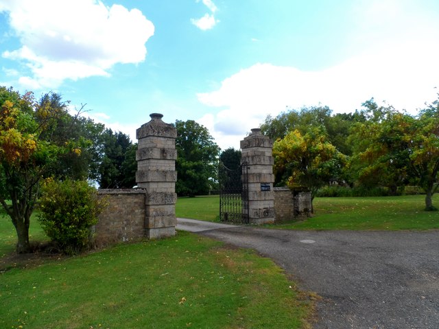
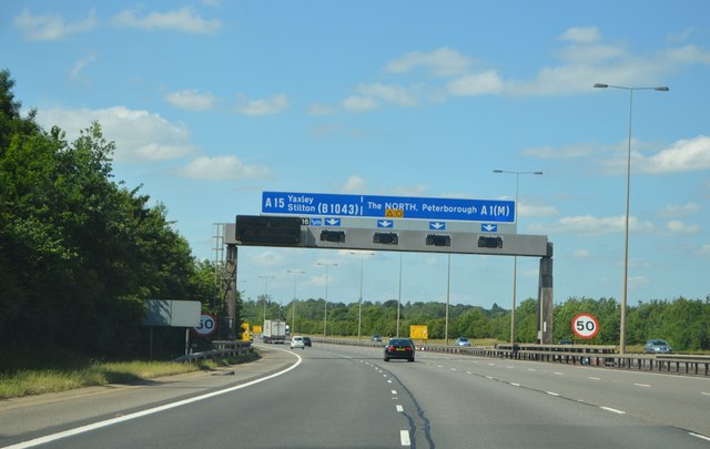
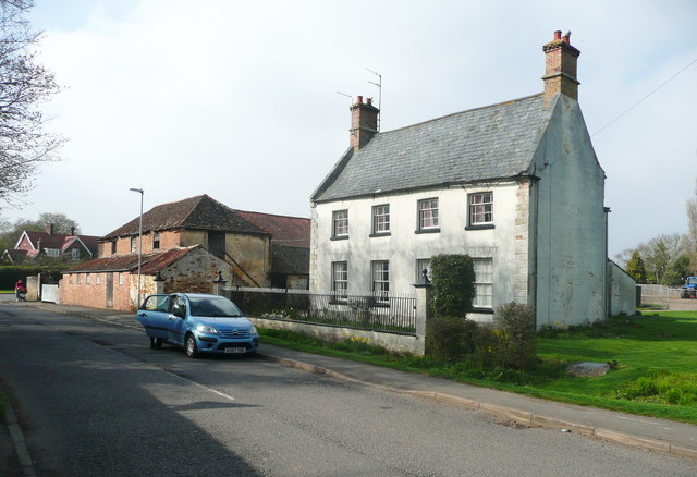
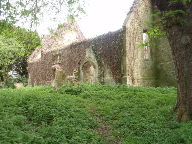
Folksworth Spinney Images

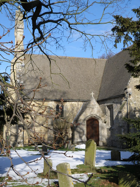
Images are sourced within 2km of 52.491476/-0.31562232 or Grid Reference TL1489. Thanks to Geograph Open Source API. All images are credited.

Gates to Washingley Hall Farm A deserted medieval village and a mote and bailey castle are both marked on the map. Today, apart from this pair of gates, there isn't a lot happening here.
Gates to Washingley Hall Farm
A deserted medieval village and a mote and bailey castle are both marked on the map. Today, apart from this pair of gates, there isn't a lot happening here.
A1(M), northbound The A1 is the longest numbered road in the UK at 410 miles long. It connects London with Edinburgh, via the east of England. 
For much of its path it follows the Great North Road the old coaching route between London and Edinburgh. Several sections of the route are classified as motorway A1(M). The modern A1 bypasses the towns the Great North Road passed through and is dual carriageway for most of its route through England.
A1(M), northbound
The A1 is the longest numbered road in the UK at 410 miles long. It connects London with Edinburgh, via the east of England. For much of its path it follows the Great North Road the old coaching route between London and Edinburgh. Several sections of the route are classified as motorway A1(M). The modern A1 bypasses the towns the Great North Road passed through and is dual carriageway for most of its route through England.
A1(M) approaching J16 The A1 is the longest numbered road in the UK at 410 miles long. It connects London with Edinburgh, via the east of England. 
For much of its path it follows the Great North Road the old coaching route between London and Edinburgh. Several sections of the route are classified as motorway A1(M). The modern A1 bypasses the towns the Great North Road passed through and is dual carriageway for most of its route through England.
A1(M) approaching J16
The A1 is the longest numbered road in the UK at 410 miles long. It connects London with Edinburgh, via the east of England. For much of its path it follows the Great North Road the old coaching route between London and Edinburgh. Several sections of the route are classified as motorway A1(M). The modern A1 bypasses the towns the Great North Road passed through and is dual carriageway for most of its route through England.
North Street, Stilton At the junction with Mill Road
North Street, Stilton
At the junction with Mill Road
Mill Road sign On Mill Road at the junction with North Street
Mill Road sign
On Mill Road at the junction with North Street
Mill Road, Stilton At the junction with North Street
Mill Road, Stilton
At the junction with North Street
North Street & Stilton Village Sign At the junction with Mill Road
North Street & Stilton Village Sign
At the junction with Mill Road
Stilton Village sign on North Street At the junction with Mill Road
Stilton Village sign on North Street
At the junction with Mill Road
Stilton Village sign on North Street At the junction with Mill Road
(Close up)
Stilton Village sign on North Street
At the junction with Mill Road (Close up)
North Street, Stilton At the junction with Mill road
North Street, Stilton
At the junction with Mill road
The Bell Inn Public House, Stilton Off the High Street
<span class="nowrap"><a title="http://www.thebellstilton.co.uk/" rel="nofollow ugc noopener" href="http://www.thebellstilton.co.uk/">Link</a><img style="margin-left:2px;" alt="External link" title="External link - shift click to open in new window" src="https://s1.geograph.org.uk/img/external.png" width="10" height="10"/></span>
The Bell Inn Public House, Stilton
Off the High Street LinkExternal link
The Bell Inn Public House sign Off the High Street
<span class="nowrap"><a title="http://www.thebellstilton.co.uk/" rel="nofollow ugc noopener" href="http://www.thebellstilton.co.uk/">Link</a><img style="margin-left:2px;" alt="External link" title="External link - shift click to open in new window" src="https://s1.geograph.org.uk/img/external.png" width="10" height="10"/></span>
The Bell Inn Public House sign
Off the High Street LinkExternal link
Stilton Village sign on North Street At the junction with Mill Road
Stilton Village sign on North Street
At the junction with Mill Road
The Stilton Cheese Inn Public House, Stilton Off North Street
The Stilton Cheese Inn Public House, Stilton
Off North Street
The Stilton Cheese Inn Public House sign Off North Street
<span class="nowrap"><a title="http://www.pub-explorer.com/cambs/pub/stiltoncheeseinnstilton.htm" rel="nofollow ugc noopener" href="http://www.pub-explorer.com/cambs/pub/stiltoncheeseinnstilton.htm">Link</a><img style="margin-left:2px;" alt="External link" title="External link - shift click to open in new window" src="https://s1.geograph.org.uk/img/external.png" width="10" height="10"/></span>
The Stilton Cheese Inn Public House sign
Off North Street LinkExternal link
North Street & The Stilton Cheese In Public House <span class="nowrap"><a title="https://en.wikipedia.org/wiki/Stilton" rel="nofollow ugc noopener" href="https://en.wikipedia.org/wiki/Stilton">Link</a><img style="margin-left:2px;" alt="External link" title="External link - shift click to open in new window" src="https://s1.geograph.org.uk/img/external.png" width="10" height="10"/></span>
North Street & The Stilton Cheese In Public House
Old Milestone, Bell Inn, High Street, Stilton Carved stone inscription, Bell Inn, High Street, on a former carriage entrance. In the parish of Stilton (Huntingdon District). N.B. On the inside of the carriage entrance looking towards the street. 

Inscription reads:- 
: To LONDON 74 HUNTINGDON 12 BUCKDEN 14 STAMFORD 14 MILES :

Listed as part of a Grade II* building. 
List Entry Number: 1216001
<span class="nowrap"><a title="https://historicengland.org.uk/listing/the-list/list-entry/1216001" rel="nofollow ugc noopener" href="https://historicengland.org.uk/listing/the-list/list-entry/1216001">Link</a><img style="margin-left:2px;" alt="External link" title="External link - shift click to open in new window" src="https://s1.geograph.org.uk/img/external.png" width="10" height="10"/></span>

Milestone Society ID: HU_LYA74.
Old Milestone, Bell Inn, High Street, Stilton
Carved stone inscription, Bell Inn, High Street, on a former carriage entrance. In the parish of Stilton (Huntingdon District). N.B. On the inside of the carriage entrance looking towards the street. Inscription reads:- : To LONDON 74 HUNTINGDON 12 BUCKDEN 14 STAMFORD 14 MILES : Listed as part of a Grade II* building. List Entry Number: 1216001 LinkExternal link Milestone Society ID: HU_LYA74.
Elm Farm, Church Street, Stilton Built in the 18C, and listed Grade II.
Elm Farm, Church Street, Stilton
Built in the 18C, and listed Grade II.
Show me another place!

Folksworth Spinney is located at Grid Ref: TL1489 (Lat: 52.491476, Lng: -0.31562232)

Administrative County: Cambridgeshire

District: Huntingdonshire

Police Authority: Cambridgeshire

What 3 Words

///pioneered.freezers.pack. Near Stilton, Cambridgeshire

Related Wikis

Folksworth and Washingley

Folksworth and Washingley is a civil parish near Peterborough in Cambridgeshire, England, comprising the villages of Folksworth and Washingley.The parish...

Morborne

Morborne is a village and civil parish in Cambridgeshire, England. Morborne lies approximately 5 miles (8 km) south-west of Peterborough, near Yaxley....

Washingley

Washingley is a hamlet and former civil parish, now in the parish of Folksworth and Washingley, in Cambridgeshire, England. Washingley lies approximately...

Caldecote, Huntingdonshire

Caldecote is a village and former civil parish, now in the parish of Denton and Caldecote, in Cambridgeshire, England. Caldecote lies approximately 7 miles...

Denton and Caldecote

Denton and Caldecote – in Huntingdonshire (now part of Cambridgeshire), England – is a civil parish near Glatton south west of Yaxley. The parish was formed...

Stilton

Stilton is a village and civil parish in Cambridgeshire, England, about 12 miles (19 km) north of Huntingdon in Huntingdonshire, which is a non-metropolitan...

Denton, Cambridgeshire

Denton is a hamlet and former civil parish, now in the parish of Denton and Caldecote, in Cambridgeshire, England. Denton lies approximately 11 miles...

Folksworth

Folksworth is a village and former civil parish, now in the parish of Folksworth and Washingley, in Cambridgeshire, England. Folksworth lies approximately...

Nearby Amenities

Located within 500m of 52.491476,-0.31562232
Bus Stop
Elm Road
Bus: yes
Naptan AtcoCode: 0500HFOLK005
Naptan Bearing: SW
Naptan BusStopType: CUS
Naptan CommonName: Elm Road
Naptan Indicator: near
Naptan Landmark: Elm Road
Naptan NaptanCode: cmbdpajp
Naptan ShortCommonName: Elm Road
Naptan Street: Manor Road
Naptan Verified: no
Public Transport: platform
Source: naptan_import
Lat/Long: 52.4946474/-0.3130206
Bus Stop
Elm Road
Bus: yes
Naptan AtcoCode: 0500HFOLK006
Naptan Bearing: NE
Naptan BusStopType: CUS
Naptan CommonName: Elm Road
Naptan Indicator: opp
Naptan Landmark: Elm Road
Naptan NaptanCode: cmbdpajt
Naptan ShortCommonName: Elm Road
Naptan Street: Manor Road
Naptan Verified: no
Public Transport: platform
Source: naptan_import
Lat/Long: 52.4947205/-0.3130786
Bus Stop
Townsend Way
Bus: yes
Naptan AtcoCode: 0500HFOLK007
Naptan Bearing: S
Naptan BusStopType: CUS
Naptan CommonName: Townsend Way
Naptan Indicator: near
Naptan Landmark: Townsend Way
Naptan NaptanCode: cmbdpajw
Naptan ShortCommonName: Townsend Way
Naptan Street: Washingley Road
Naptan Verified: no
Public Transport: platform
Source: naptan_import
Lat/Long: 52.4925644/-0.3106864
Bus Stop
Townsend Way
Bus: yes
Naptan AtcoCode: 0500HFOLK008
Naptan Bearing: N
Naptan BusStopType: CUS
Naptan CommonName: Townsend Way
Naptan Indicator: opp
Naptan Landmark: Townsend Way
Naptan NaptanCode: cmbdpama
Naptan ShortCommonName: Townsend Way
Naptan Street: Washingley Road
Naptan Verified: no
Public Transport: platform
Source: naptan_import
Lat/Long: 52.4926023/-0.3108176
Vanessa Raucci
Addr Housenumber: 33
Addr Street: Elm Road
Shop: hairdresser
Source: survey
Lat/Long: 52.4934562/-0.3139665
Post Box
Elm Road/Manor Road
Post Box Type: lamp
Ref: PE7 33
Source: survey
Lat/Long: 52.4946777/-0.313008
Recycling
Recycling Clothes: yes
Recycling Glass: yes
Recycling Shoes: yes
Recycling Type: container
Source: survey
Lat/Long: 52.4947807/-0.3133878
Little Folk's Corner
Leisure: playground
Source: survey
Source Name: voice
Lat/Long: 52.4942715/-0.3124871
Power: pole
Lat/Long: 52.4924934/-0.3169835
Power: pole
Lat/Long: 52.4923106/-0.3183998
Power: pole
Lat/Long: 52.4891651/-0.3214678
Power: pole
Lat/Long: 52.4913226/-0.3206661
Power: pole
Lat/Long: 52.4921898/-0.3194029
Power: pole
Lat/Long: 52.492064/-0.32039
Power: pole
Lat/Long: 52.4905632/-0.3209478
Ulmus
Place: farm
Lat/Long: 52.4900345/-0.3198678
Turning Loop
Lat/Long: 52.4943599/-0.3119988
Barrier: yes
Lat/Long: 52.4951838/-0.3156026
Bench
Lat/Long: 52.4939888/-0.3136804
Waste Basket
Waste: dog_excrement
Lat/Long: 52.4938255/-0.3140795
Defibrillator
Defibrillator Location: outside Village Hall in Folksworth
Emergency: defibrillator
Indoor: no
Not Ref GB The Circuit: C0DF1063-B4A7-4F49-ACEF-B05800E865E5
Lat/Long: 52.4945902/-0.3129837
Entrance: yes
Lat/Long: 52.4945809/-0.3130096
The data included in this document is from www.openstreetmap.org. The data is made available under ODbL.

Have you been to Folksworth Spinney?

Leave your review of Folksworth Spinney below (or comments, questions and feedback).