Littleworth Common
Wood, Forest in Surrey Elmbridge
England
Littleworth Common
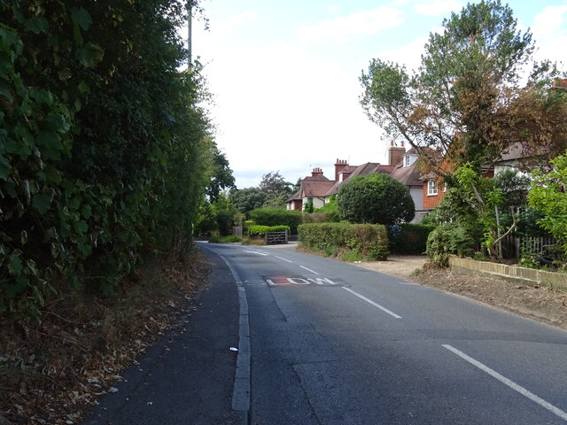
Littleworth Common is a picturesque woodland area located in Surrey, England. Situated near the village of Wood, Littleworth Common is renowned for its serene and untouched natural beauty. The common spans approximately 50 acres and is predominantly covered by a dense forest.
The woodland is characterized by a diverse range of trees including oak, beech, and birch, creating a lush and verdant environment. The foliage provides ample shade, making it a popular destination for leisurely walks, picnics, and nature enthusiasts. The forest floor is carpeted with a rich assortment of wildflowers, adding vibrant pops of color to the landscape.
Littleworth Common is also home to a plethora of wildlife, making it an ideal spot for nature lovers and bird watchers. The common provides a habitat for various bird species such as woodpeckers, owls, and thrushes, making it a haven for bird enthusiasts. Additionally, the forest is inhabited by deer, foxes, and squirrels, contributing to the area's diverse ecosystem.
The common is well-maintained with clearly marked trails, ensuring visitors can explore the area without getting lost. The woodland also features several benches, allowing visitors to sit and appreciate the tranquil surroundings. Furthermore, there are designated areas for barbecues and picnics, providing visitors with the opportunity to enjoy a meal in the heart of nature.
Overall, Littleworth Common in Surrey offers a peaceful retreat from the hustle and bustle of urban life, providing a sanctuary for both flora and fauna. It is a cherished natural gem that attracts visitors from near and far, seeking solace and communion with nature.
If you have any feedback on the listing, please let us know in the comments section below.
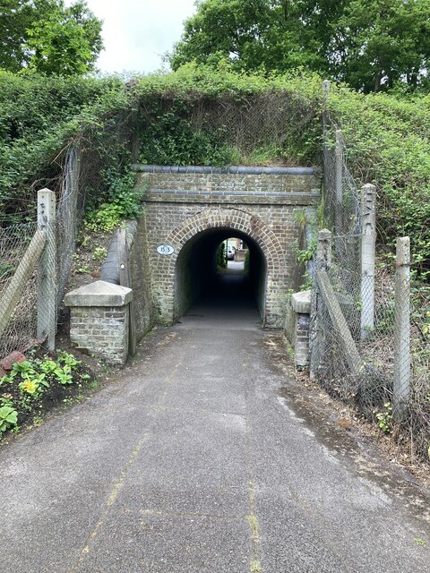
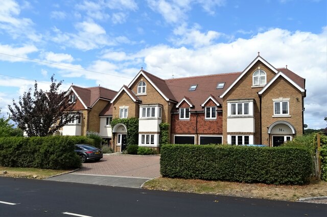
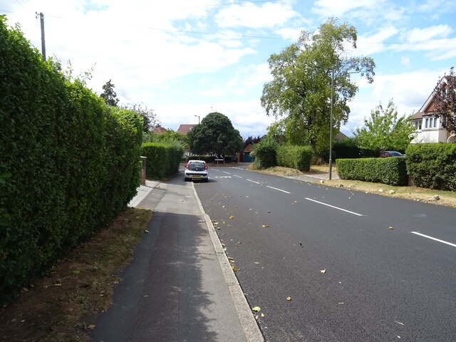
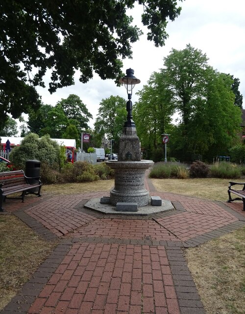
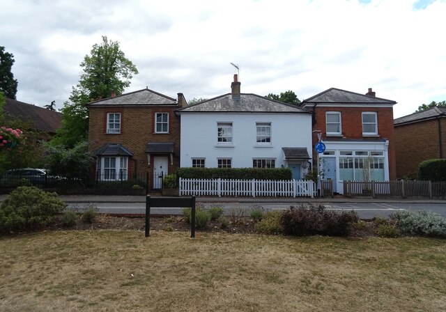
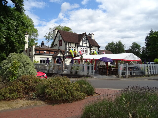
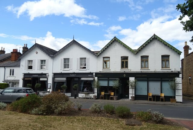
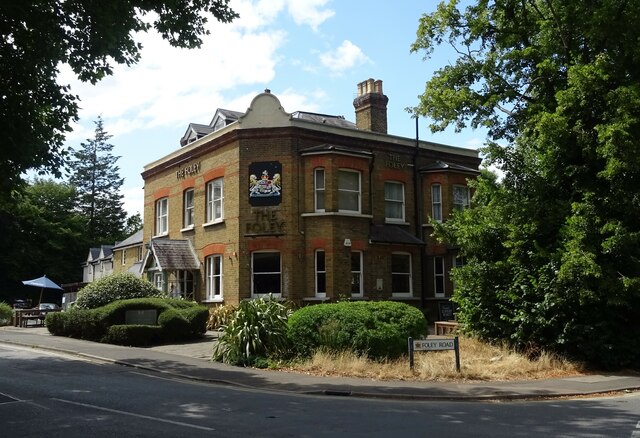
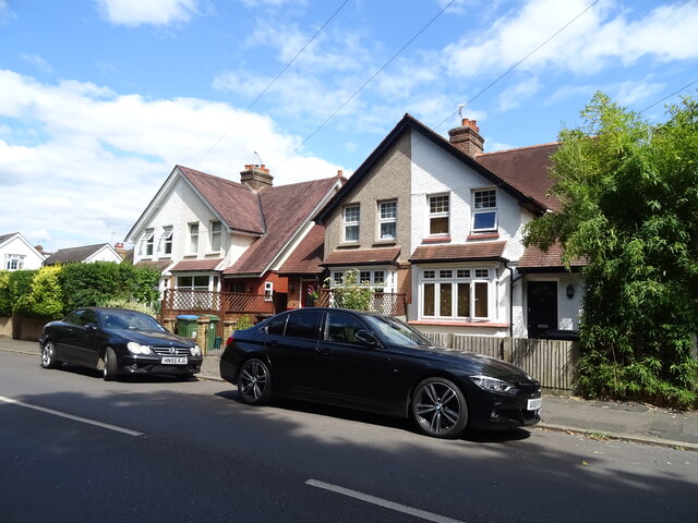
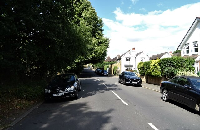
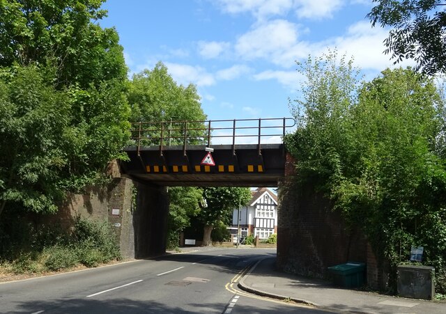
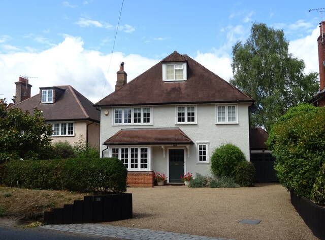
Littleworth Common Images
Images are sourced within 2km of 51.373813/-0.35094091 or Grid Reference TQ1465. Thanks to Geograph Open Source API. All images are credited.


Littleworth Common is located at Grid Ref: TQ1465 (Lat: 51.373813, Lng: -0.35094091)
Administrative County: Surrey
District: Elmbridge
Police Authority: Surrey
What 3 Words
///silk.runner.slime. Near Hinchley Wood, Surrey
Nearby Locations
Related Wikis

Scilly Isles, Surrey
The Scilly Isles () is a double roundabout in Hinchley Wood, Surrey, between the English towns of Esher and Kingston upon Thames on the traditional route...
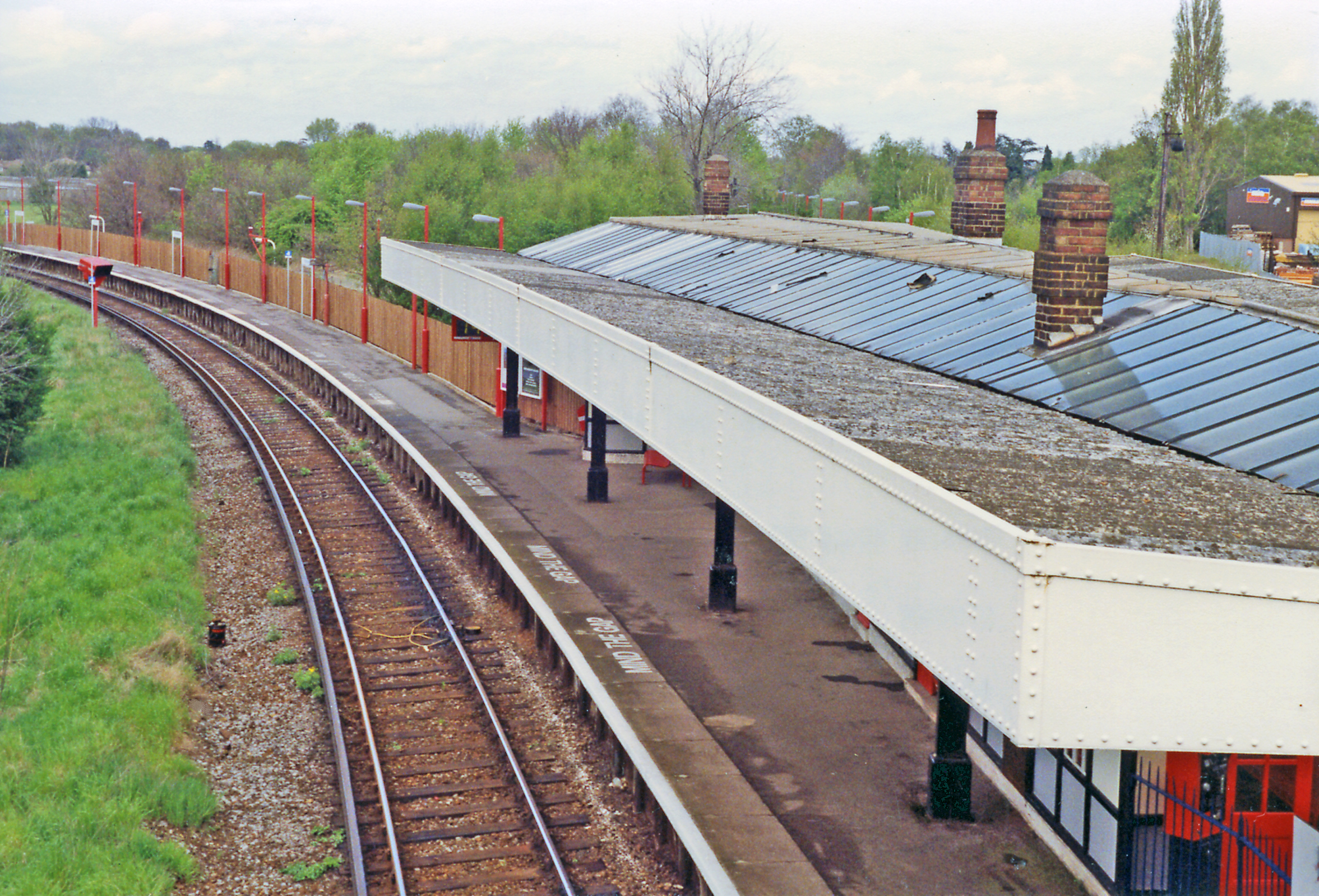
Hinchley Wood railway station
Hinchley Wood railway station is in the centre of the compact suburban village of Hinchley Wood in Surrey, England. It is 14 miles 4 chains (22.6 km) down...

Esher railway station
Esher railway station is a station on the South West Main Line operated by South Western Railway in Surrey, England. The station adjoins the north of...

Sandown Park Racecourse
Sandown Park is a horse racing course and leisure venue in Esher, Surrey, England, located in the outer suburbs of London. It hosts 5 Grade One National...

National Honey Show
The National Honey Show is an annual British show of honey and other bee products. It first took place in 1923 at The Crystal Palace, and continued to...

Borough of Elmbridge
Elmbridge is a local government district with borough status in Surrey, England. Its principal towns and villages are Esher, Cobham, Walton-on-Thames,...

Esher theatre
Esher Theatre is a theatre in Esher which opened on 4 September 2021. It features a 200-seat main theatre with 350 standing, and is owned by Artistic Director...

St George's Church, Esher
St George's Church, Esher is a Grade I listed Anglican church in Esher, Surrey, England. Built in the 16th century, it was Esher's parish church for 300...
Related Videos

HAMPTON COURT CIRCULAR WALK BEGINNER WALKERS!! DAY SUNDAY | 🇬🇧 Hiking UK | England
This walk explores the two royal parks next to Hampton Court Palace. This was originally built for Cardinal Wolsey, but when he ...

Beginner Walkers!! Hampton Court Circular London Walk | Hiking UK | England 🇬🇧
Attention all beginner walkers! Embark on a delightful Hampton Court Circular London Walk, specially designed for those starting ...

Beginner Walkers!! Discover the Enchanting Hampton Court Walk | 🇬🇧 Hiking UK | England
Calling all beginner walkers! Embark on a delightful walking adventure along the enchanting Hampton Court Walk, perfect for ...

Hampton Court Circular walk Beginner Walkers!! Day Hike Sunday | 🇬🇧 Hiking UK | England
A short walk packed with variety and fine views, bluebell woods in season, a pretty village and a short train journey. Distance: 12.5 ...
Nearby Amenities
Located within 500m of 51.373813,-0.35094091Have you been to Littleworth Common?
Leave your review of Littleworth Common below (or comments, questions and feedback).