Colemoreham Spinney
Wood, Forest in Bedfordshire
England
Colemoreham Spinney
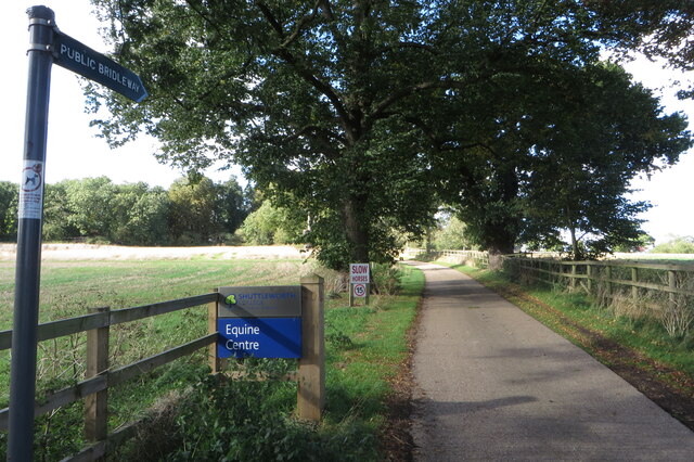
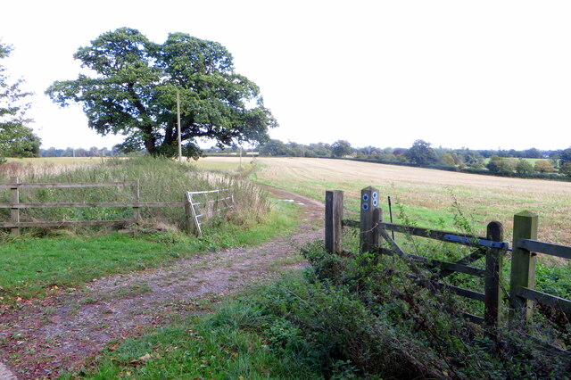
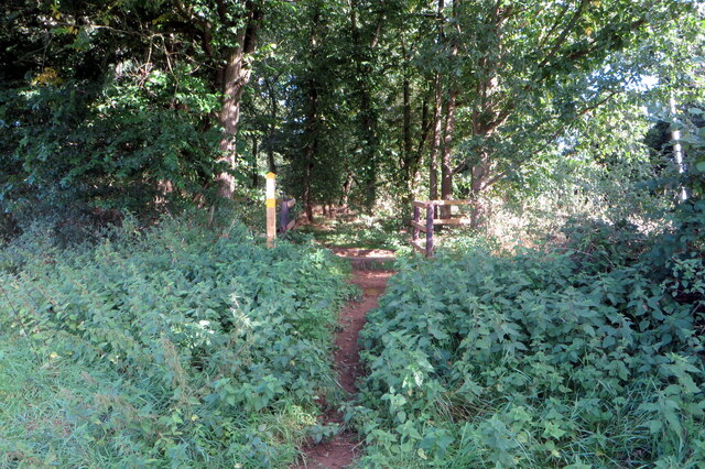
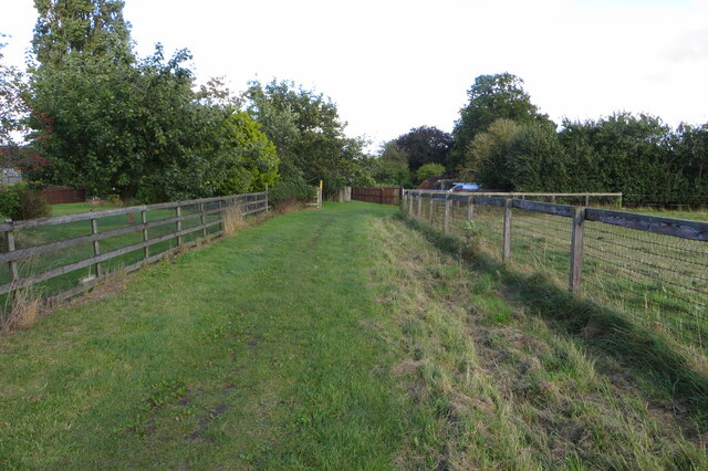
Colemoreham Spinney is a charming woodland located in the county of Bedfordshire, England. Situated near the village of Colemoreham, this spinney is a hidden gem, offering a tranquil escape from the bustling city life. With its lush greenery and diverse range of flora and fauna, it is a paradise for nature lovers and wildlife enthusiasts.
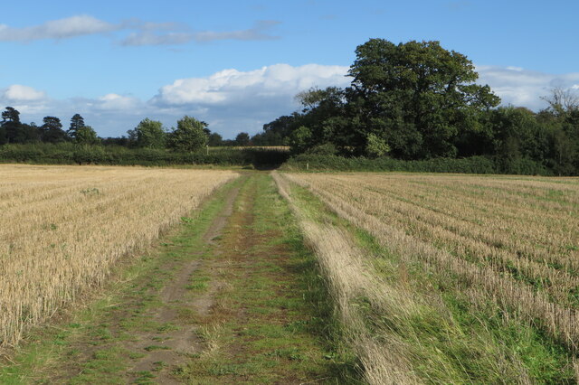
Covering an area of approximately 20 acres, Colemoreham Spinney is predominantly composed of deciduous trees such as oak, beech, and birch. These tall, majestic trees provide a dense canopy that filters sunlight, creating a cool and shaded environment. The forest floor is carpeted with a variety of wildflowers, adding bursts of color to the landscape.
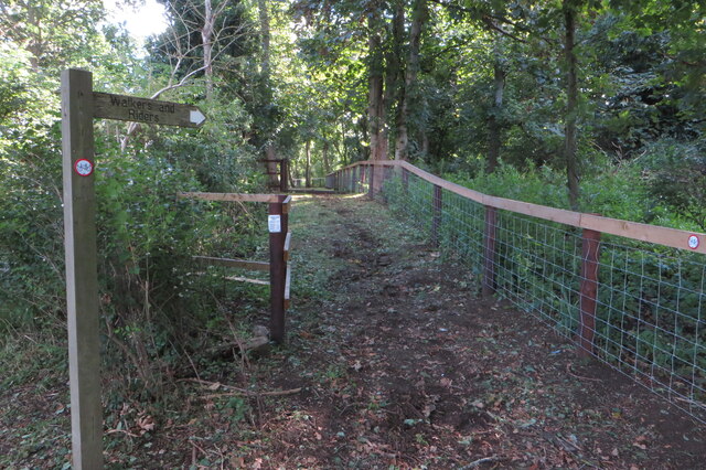
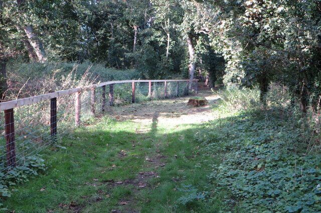
The spinney is intersected by a meandering footpath that allows visitors to explore its beauty at leisure. Along this path, you may come across several species of birds, including woodpeckers, owls, and songbirds, filling the air with their melodious calls. Squirrels scurry through the undergrowth, while rabbits and deer occasionally make an appearance, adding to the enchanting atmosphere.
Colemoreham Spinney is not only a haven for wildlife but also a popular spot for recreational activities. Visitors can enjoy picnics, nature walks, and photography within its serene surroundings. The peaceful ambiance and the symphony of nature make it an ideal retreat for those seeking solace and respite from their daily routines.
Overall, Colemoreham Spinney in Bedfordshire is a picturesque woodland that showcases the beauty of nature. Its diverse range of plant and animal life, coupled with its serene atmosphere, make it a must-visit destination for anyone looking to reconnect with the natural world.
If you have any feedback on the listing, please let us know in the comments section below.
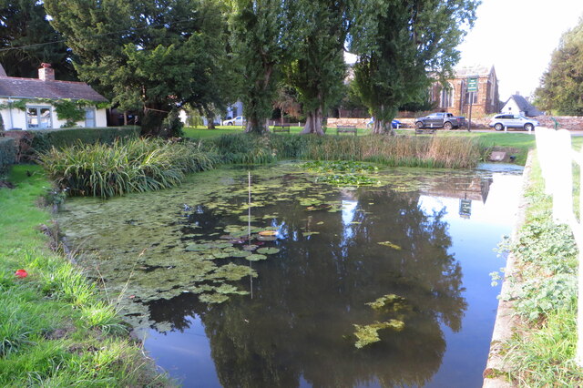
Colemoreham Spinney Images
Images are sourced within 2km of 52.090479/-0.32463431 or Grid Reference TL1444. Thanks to Geograph Open Source API. All images are credited.


![Waymarker detail form photograph [[6985073]]](https://s1.geograph.org.uk/geophotos/06/98/50/6985077_0c7f2f3c.jpg)
Colemoreham Spinney is located at Grid Ref: TL1444 (Lat: 52.090479, Lng: -0.32463431)
Unitary Authority: Central Bedfordshire
Police Authority: Bedfordshire
What 3 Words
///figs.grit.cackling. Near Southill, Bedfordshire
Nearby Locations
Related Wikis

Shuttleworth Collection
The Shuttleworth Collection is a working aeronautical and automotive collection located at the Old Warden Aerodrome, Old Warden in Bedfordshire, England...
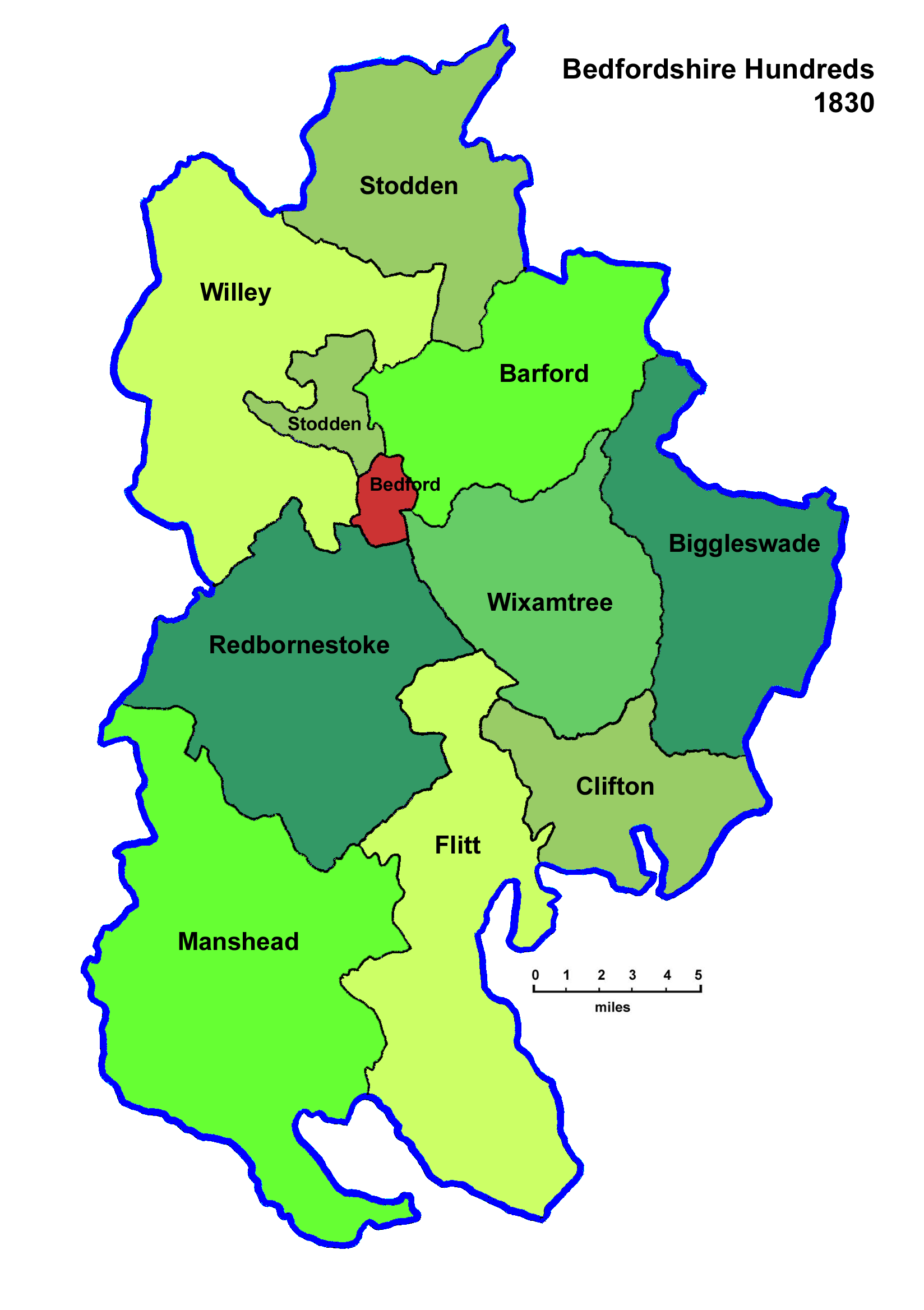
Wixamtree
Wixamtree is an ancient hundred located in Bedfordshire, England. Wixamtree was one of the hundreds of Bedfordshire, with its council being the primary...

Old Warden Aerodrome
Old Warden Aerodrome (ICAO: EGTH) is located 6 nautical miles (11 km; 6.9 mi) east southeast of Bedford, in Bedfordshire, England. The privately owned...

Shuttleworth College (Bedfordshire)
Shuttleworth College is a further education college in the village of Old Warden in Bedfordshire, England. The college is part of Bedford College, and...

Ickwell Bury
Ickwell Bury, at the heart of the former manor of Ickwell, Bedfordshire, was first built by John Harvey in 1683 near the site of an older manor house....

Ickwell May Day
Ickwell May Day is an annual celebration held in the village of Ickwell, Bedfordshire. The event is a celebration of May Day, a festival marking the beginning...
Ickwell
Ickwell is a small, rural village in the Central Bedfordshire district of the county of Bedfordshire, England about 6.5 miles (10 km) south-east of the...
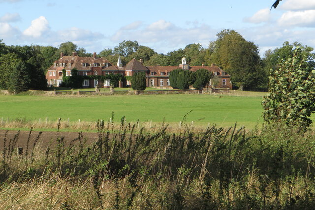
The Mansion House, Old Warden Park
The Mansion House, Old Warden Park is a 19th-century country house in Bedfordshire, England, designed by Henry Clutton for Joseph Shuttleworth. The house...
Nearby Amenities
Located within 500m of 52.090479,-0.32463431Have you been to Colemoreham Spinney?
Leave your review of Colemoreham Spinney below (or comments, questions and feedback).