Sandown Park

Downs, Moorland in Surrey Elmbridge

England

Sandown Park

Pedestrian tunnel under railway A small pedestrian tunnel under the New Guildford railway line, linking Ashton Road and Station Road. Oddly, the path appears not to be recorded as a public right of way on the definitive map and statement, nor as a publicly-maintained path.
Pedestrian tunnel under railway Credit: Hugh Craddock

Sandown Park is a renowned racecourse located in Esher, Surrey, England. It is situated approximately 20 miles southwest of central London and covers an area of approximately 150 acres. The racecourse is set amidst picturesque surroundings, featuring a combination of downs, moorland, and woodland.

Established in 1875, Sandown Park has a rich history and is one of the most prestigious racecourses in the United Kingdom. It hosts a variety of flat and National Hunt (jump) races throughout the year, including the highly anticipated Coral-Eclipse and Tolworth Hurdle events. The course is known for its challenging uphill finish, which adds an exciting element to the races and attracts top-class horses and jockeys.

In addition to horse racing, Sandown Park offers a range of facilities and amenities to cater to visitors' needs. The racecourse boasts modern grandstands with excellent views of the track, as well as a variety of hospitality options, including restaurants, bars, and private boxes. These venues provide visitors with a comfortable and enjoyable experience while they watch the thrilling races unfold.

Sandown Park is easily accessible, with good transport links to London and the surrounding areas. It has ample parking facilities and is also accessible by train, with a dedicated railway station located nearby.

Beyond horse racing, Sandown Park hosts various events throughout the year, including music concerts, exhibitions, and corporate functions. Its versatile facilities make it a popular venue choice for a wide range of occasions.

Overall, Sandown Park is a prestigious and well-regarded racecourse, offering a fantastic racing experience in a beautiful setting.

If you have any feedback on the listing, please let us know in the comments section below.
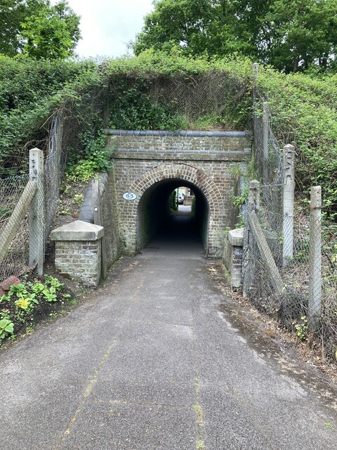
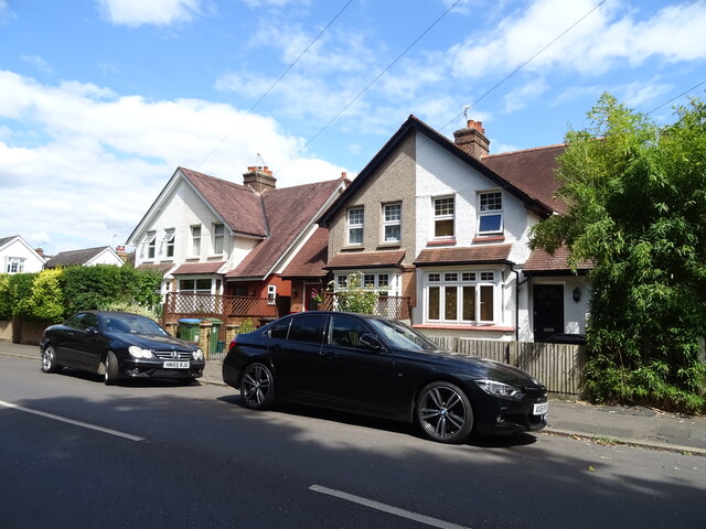
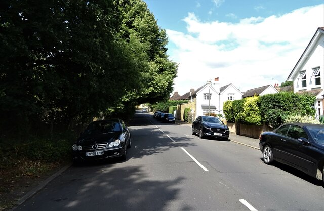
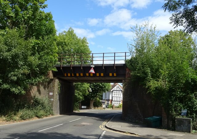
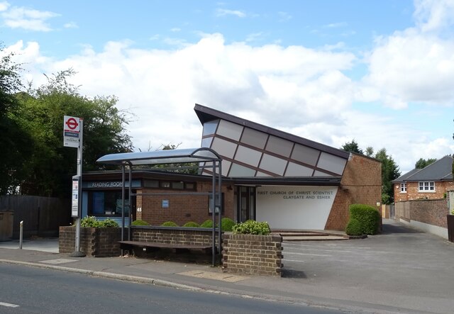
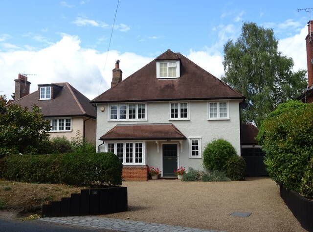
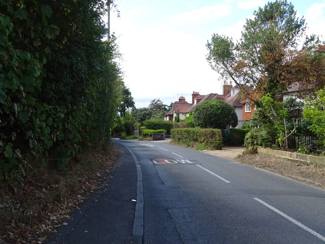
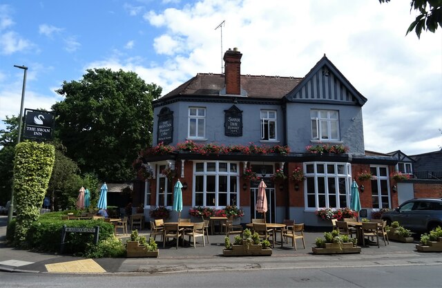
Sandown Park Images

Images are sourced within 2km of 51.375517/-0.36284849 or Grid Reference TQ1465. Thanks to Geograph Open Source API. All images are credited.

Pedestrian tunnel under railway A small pedestrian tunnel under the New Guildford railway line, linking Ashton Road and Station Road. Oddly, the path appears not to be recorded as a public right of way on the definitive map and statement, nor as a publicly-maintained path.
Pedestrian tunnel under railway
A small pedestrian tunnel under the New Guildford railway line, linking Ashton Road and Station Road. Oddly, the path appears not to be recorded as a public right of way on the definitive map and statement, nor as a publicly-maintained path.
Prince of Wales, West End Chef & Brewer pub facing the green at West End.
Prince of Wales, West End
Chef & Brewer pub facing the green at West End.
Houses on Aston Road, Claygate
Aston Road, Claygate
Railway bridge over Hare Lane, Claygate
First Church of Christ, Scientist, Claygate
House on Hare Lane
House on Hare Lane
Hare Lane Towards Esher.
Hare Lane
Towards Esher.
The Swan Inn, Esher On Hare Lane.
See <a href="https://www.geograph.org.uk/photo/7243558">TQ1464 : Sign for the Swan Inn, Esher</a> for sign.
The Swan Inn, Esher
On Hare Lane. See TQ1464 : Sign for the Swan Inn, Esher for sign.
Sign for the Swan Inn, Esher See <a href="https://www.geograph.org.uk/photo/7243557">TQ1464 : The Swan Inn, Esher</a> for context.
Sign for the Swan Inn, Esher
See TQ1464 : The Swan Inn, Esher for context.
Bus stop on Milbourne Lane, Esher
Lodges on Claremont Drive, Esher
Claremont Drive (A244), Esher
The Bear Hotel, Esher On High Street.
See <a href="https://www.geograph.org.uk/photo/7243567">TQ1364 : Sign for the Bear Hotel, Esher</a> for sign.
The Bear Hotel, Esher
On High Street. See TQ1364 : Sign for the Bear Hotel, Esher for sign.
Sign for the Bear Hotel, Esher See <a href="https://www.geograph.org.uk/photo/7243565">TQ1364 : The Bear Hotel, Esher</a> for context.
Sign for the Bear Hotel, Esher
Esher Green Adult Learning Centre
Crossing on Lammas Lane, Esher
House on Esher Road, Hersham
Show me another place!

Sandown Park is located at Grid Ref: TQ1465 (Lat: 51.375517, Lng: -0.36284849)

Administrative County: Surrey

District: Elmbridge

Police Authority: Surrey

What 3 Words

///race.plays.ridge. Near Esher, Surrey

Related Wikis

Sandown Park Racecourse

Sandown Park is a horse racing course and leisure venue in Esher, Surrey, England, located in the outer suburbs of London. It hosts 5 Grade One National...

National Honey Show

The National Honey Show is an annual British show of honey and other bee products. It first took place in 1923 at The Crystal Palace, and continued to...

Lower Green, Esher

Lower Green is a residential and commercial area within Esher, in Surrey, England, on the banks of the River Ember and River Mole. The area has many businesses...

Esher theatre

Esher Theatre is a theatre in Esher which opened on 4 September 2021. It features a 200-seat main theatre with 350 standing, and is owned by Artistic Director...

Esher Church of England High School

Esher Church of England High School is a coeducational Church of England secondary school and academy in Esher, Surrey, England. == History == The school...

Borough of Elmbridge

Elmbridge is a local government district with borough status in Surrey, England. Its principal towns and villages are Esher, Cobham, Walton-on-Thames,...

St George's Church, Esher

St George's Church, Esher is a Grade I listed Anglican church in Esher, Surrey, England. Built in the 16th century, it was Esher's parish church for 300...

Esher

Esher ( EE-shər) is a town in Surrey, England, to the east of the River Mole. Esher is an outlying suburb of London, close to the London–Surrey border...

Nearby Amenities

Located within 500m of 51.375517,-0.36284849
Dentist
Fair Oak Dental Surgery
Healthcare: dentist
Lat/Long: 51.372066/-0.3610421
Bus Stop
Council Offices
Bench: yes
Bin: yes
Local Ref: A
Naptan AtcoCode: 40004405075A
Naptan Bearing: NE
Naptan CommonName: Council Offices
Naptan Indicator: Stop A
Naptan Landmark: Council Offices
Naptan NaptanCode: suragdmd
Naptan Street: Portsmouth Road
Naptan Verified: no
Public Transport: platform
Shelter: yes
Source: naptan_import
Tactile Paving: no
Lat/Long: 51.3714679/-0.3624358
Bus Stop
Council Offices
Bench: yes
Bin: no
Bus Bay: yes
Local Ref: B
Naptan AtcoCode: 40004405075B
Naptan Bearing: SW
Naptan CommonName: Council Offices
Naptan Indicator: Stop B
Naptan Landmark: Council Offices
Naptan NaptanCode: suragdmg
Naptan Street: Portsmouth Road
Naptan Verified: no
Public Transport: platform
Shelter: yes
Source: naptan_import
Tactile Paving: no
Lat/Long: 51.3712333/-0.3625254
Bus Stop
Sandown Park
Naptan AtcoCode: 40004405077A
Naptan Bearing: NE
Naptan CommonName: Sandown Park
Naptan Indicator: O/s
Naptan Landmark: Sandown Park
Naptan NaptanCode: suragdmt
Naptan Street: Portsmouth Road
Naptan Verified: no
Public Transport: platform
Shelter: no
Source: naptan_import
Tactile Paving: no
Lat/Long: 51.374287/-0.3586003
Bus Stop
Sandown Park
Bench: no
Bin: no
Naptan AtcoCode: 40004405077B
Naptan Bearing: SW
Naptan CommonName: Sandown Park
Naptan Indicator: Opp
Naptan Landmark: Sandown Park
Naptan NaptanCode: suragdmw
Naptan Street: Portsmouth Road
Naptan Verified: no
Public Transport: platform
Shelter: no
Source: naptan_import
Tactile Paving: no
Lat/Long: 51.3736503/-0.3592436
Bus Stop
Arran Way Footpath
Naptan AtcoCode: 40004405139A
Naptan Bearing: W
Naptan CommonName: Arran Way Footpath
Naptan Indicator: Just Before
Naptan Landmark: Arran Way
Naptan NaptanCode: suragpdg
Naptan Street: Lower Green Road
Naptan Verified: no
Public Transport: platform
Source: naptan_import
Lat/Long: 51.3790504/-0.3646827
Bus Stop
Arran Way Footpath
Naptan AtcoCode: 40004405139B
Naptan Bearing: E
Naptan CommonName: Arran Way Footpath
Naptan Indicator: Just after
Naptan Landmark: Number 130
Naptan NaptanCode: suragpdj
Naptan Street: Lower Green Road
Naptan Verified: no
Public Transport: platform
Source: naptan_import
Lat/Long: 51.3792111/-0.3637805
Bus Stop
Esher High School
Naptan AtcoCode: 40004405141A
Naptan Bearing: S
Naptan CommonName: Esher High School
Naptan Indicator: Just after
Naptan Landmark: Esher High School
Naptan NaptanCode: suragpga
Naptan Street: More Lane
Naptan Verified: no
Public Transport: platform
Source: naptan_import
Lat/Long: 51.3739213/-0.3680365
Bus Stop
Esher High School
Naptan AtcoCode: 40004405141B
Naptan Bearing: N
Naptan CommonName: Esher High School
Naptan Indicator: adj
Naptan Landmark: Esher High School
Naptan NaptanCode: suragpgm
Naptan Street: More Lane
Naptan Verified: no
Public Transport: platform
Shelter: no
Source: naptan_import
Tactile Paving: no
Lat/Long: 51.3752912/-0.3689737
Crossing
Crossing: traffic_signals
Crossing Ref: pelican
Lat/Long: 51.371058/-0.3630792
Crossing
Crossing: uncontrolled
Crossing Island: no
Kerb: lowered
Tactile Paving: yes
Lat/Long: 51.379942/-0.3630885
Turning Circle
Lat/Long: 51.3716517/-0.3651196
Coal tax obelisk
Historic: boundary_stone
Material: stone
Lat/Long: 51.3798301/-0.3628989
Coal tax post
Historic: boundary_stone
Inscription: 24 & 25 VICT CAP 42
Material: iron
Note: Coal tax boundary marker 103
Lat/Long: 51.3790764/-0.3644755
Coal tax post
Historic: boundary_stone
Inscription: ACT 24 & 25 VICT CAP 42
Material: iron
Note: Coal tax boundary marker 104
Lat/Long: 51.3754856/-0.3562407
Sandown Park Racecourse
Leisure: track
Sport: horse_racing
Lat/Long: 51.3770513/-0.3635511
Cafe
Cafe
Lat/Long: 51.3752833/-0.3629288
Post Box
Collection Times: Mo-Fr 16:15; Sa 11:15; Su off
Operator: Royal Mail
Post Box Type: pillar
Ref: KT10 171
Lat/Long: 51.3739682/-0.3582672
Traffic Signals
Crossing: no
Traffic Signals: signal
Traffic Signals Direction: forward
Lat/Long: 51.3711214/-0.3628383
Traffic Calming: hump
Lat/Long: 51.3728327/-0.3574674
Traffic Calming: hump
Lat/Long: 51.3739462/-0.3581969
Traffic Calming: hump
Lat/Long: 51.3735795/-0.3579254
Entrance: yes
Lat/Long: 51.3756458/-0.3622625
Entrance: yes
Lat/Long: 51.375608/-0.3623577
Bus Stop
Esher High School
Access: private
Naptan AtcoCode: 40004405141C
Naptan NaptanCode: surgtjwg
Public Transport: platform
Lat/Long: 51.375037/-0.3693638
All Spa One
Addr City: Esher
Addr Housenumber: 8
Addr Postcode: KT10 9RT
Addr Street: High Street
Beauty: nails
Opening Hours Covid19: closed
Phone: +44 1372 462256
Shop: beauty
Website: allspaone.co.uk
Lat/Long: 51.37106/-0.3634636
Bernard Boutique
Addr City: Esher
Addr Housenumber: 4 - 8
Addr Postcode: KT10 9RT
Addr Street: High Street
Clothes: women
Opening Hours: Mo-Sa 09:30-18:00
Opening Hours Covid19: 01372 466604
Shop: clothes
Website: https://bernardboutique.com/
Lat/Long: 51.3711235/-0.3633214
Parking Space
Capacity: 2
Parking Space: disabled
Lat/Long: 51.3716021/-0.3630824
Parking Space
Capacity: 2
Parking Space: disabled
Lat/Long: 51.3725153/-0.3620347
Parking Space
Capacity: 8
Parking Space: disabled
Lat/Long: 51.3729597/-0.3618493
Fountain
Lat/Long: 51.3710587/-0.3625222
Entrance: yes
Lat/Long: 51.3729757/-0.3653779
Golf: tee
Lat/Long: 51.3773248/-0.3662007
Golf: tee
Lat/Long: 51.3772102/-0.3660706
Golf: tee
Lat/Long: 51.376846/-0.3653826
Golf: tee
Lat/Long: 51.377134/-0.3653692
Golf: tee
Lat/Long: 51.3777066/-0.3655019
Golf: tee
Lat/Long: 51.377622/-0.3659083
Golf: tee
Lat/Long: 51.3771792/-0.3669865
Golf: tee
Lat/Long: 51.3773006/-0.3666741
Golf: tee
Lat/Long: 51.3774847/-0.3666043
Golf: tee
Lat/Long: 51.3750512/-0.3681399
Golf: tee
Lat/Long: 51.3767297/-0.368211
Golf: tee
Lat/Long: 51.375402/-0.3669933
Golf: tee
Lat/Long: 51.3755476/-0.3675163
Golf: tee
Lat/Long: 51.3762458/-0.3667948
Golf: tee
Lat/Long: 51.3768502/-0.3674305
Golf: tee
Lat/Long: 51.3768335/-0.3660142
Golf: tee
Lat/Long: 51.3766434/-0.3654885
Golf: tee
Lat/Long: 51.376106/-0.365632
Golf: tee
Lat/Long: 51.3777057/-0.357061
Golf: tee
Lat/Long: 51.3776153/-0.3615846
Golf: tee
Lat/Long: 51.3766849/-0.3614492
Golf: tee
Lat/Long: 51.3776438/-0.361189
Golf: tee
Lat/Long: 51.3775216/-0.3648609
Golf: tee
Lat/Long: 51.3780071/-0.3636351
Studio
MSTS Music Studio
Addr City: Esher
Addr Country: GB
Check Date: 2022-12-29
Description: Creative music services beyond imagination – and more
Email: studiomsts@outlook.com
Internet Access: wlan
Name Fi: Musiikkistudio MSTS
Start Date: 1986
Studio: music
Website: https://sites.google.com/view/mstsmusicstudio/home
Lat/Long: 51.3724359/-0.3598505
Communication Mobile Phone: yes
Man Made: mast
Tower Type: communication
Lat/Long: 51.3732041/-0.3667016
Entrance: yes
Lat/Long: 51.3729975/-0.3651827
Skywalk Adventure
Leisure: sports_centre
Sport: climbing_adventure
Lat/Long: 51.3730117/-0.3657088
Bar
The Terrace Bar
Opening Hours: Mo-Fr 06:30-21:00, Sa-Su 08:30-18:00
Phone: +44 1372467132
Website: https://sandownsports.co.uk/club/the-terrace-bar/
Lat/Long: 51.3730472/-0.3649115
Entrance: yes
Lat/Long: 51.3729212/-0.3650502
Entrance: yes
Lat/Long: 51.3730531/-0.3651322
The data included in this document is from www.openstreetmap.org. The data is made available under ODbL.

Have you been to Sandown Park?

Leave your review of Sandown Park below (or comments, questions and feedback).