The Green
Downs, Moorland in Huntingdonshire Huntingdonshire
England
The Green
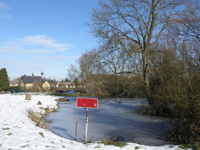
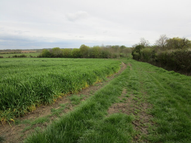
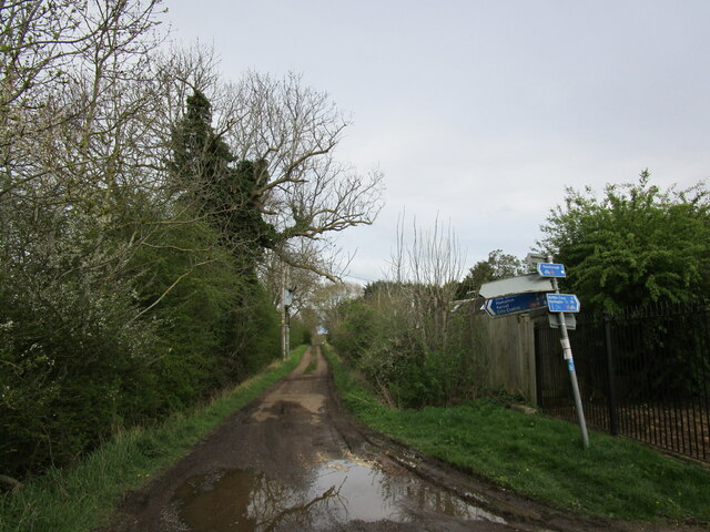
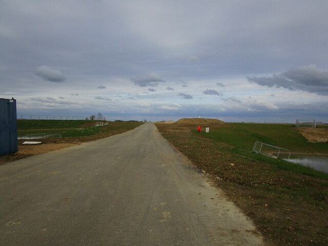
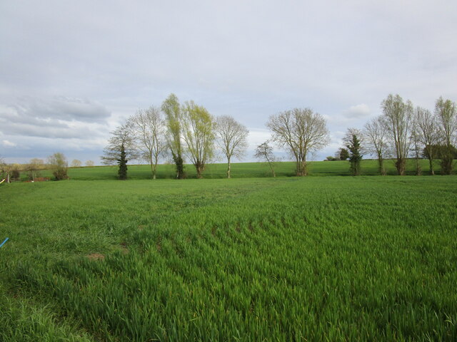
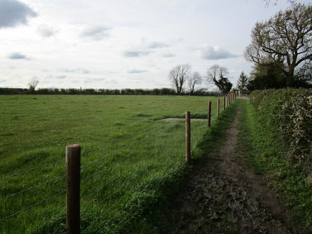
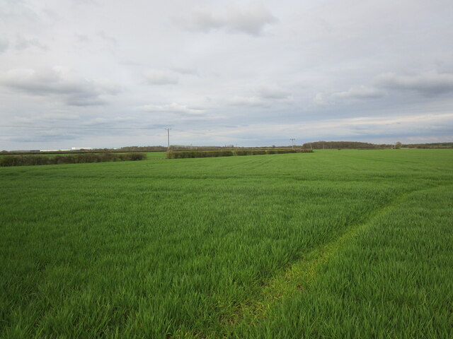
The Green is a picturesque area located in Huntingdonshire, a historic county in the eastern part of England. Situated amidst rolling hills and lush countryside, The Green is renowned for its stunning natural beauty and peaceful atmosphere. The landscape is characterized by vast expanses of open green spaces, dotted with patches of woodland and scattered with charming villages.
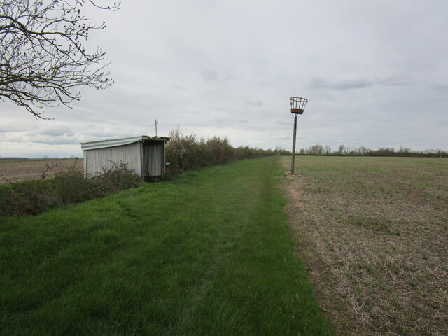
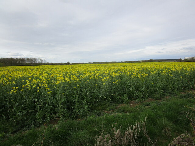
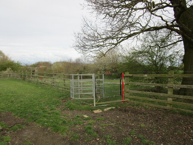
The area is rich in diverse wildlife, with a variety of flora and fauna inhabiting the Downs and Moorland. The Downs, with their gently sloping hills, offer breathtaking panoramic views of the surrounding countryside. Visitors can enjoy leisurely walks or engage in outdoor activities such as hiking and cycling, taking in the tranquil surroundings and immersing themselves in nature.
Moorland, on the other hand, presents a different aspect of The Green, with its vast stretches of open land covered in heather and grasses. Moorland is home to numerous rare bird species, including the iconic red grouse, making it a popular destination for birdwatchers and nature enthusiasts.
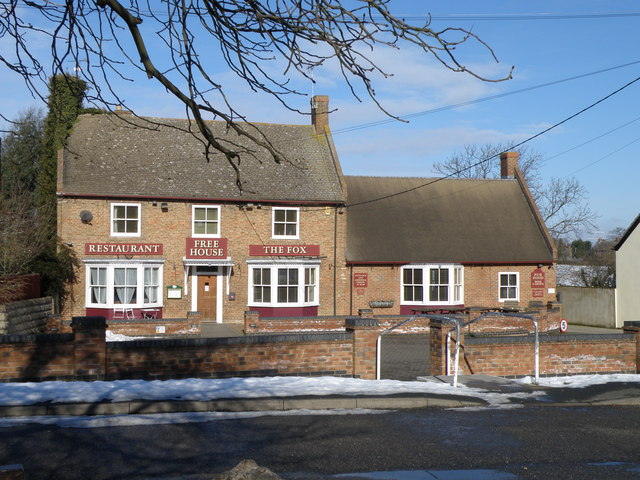
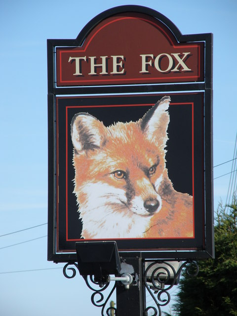
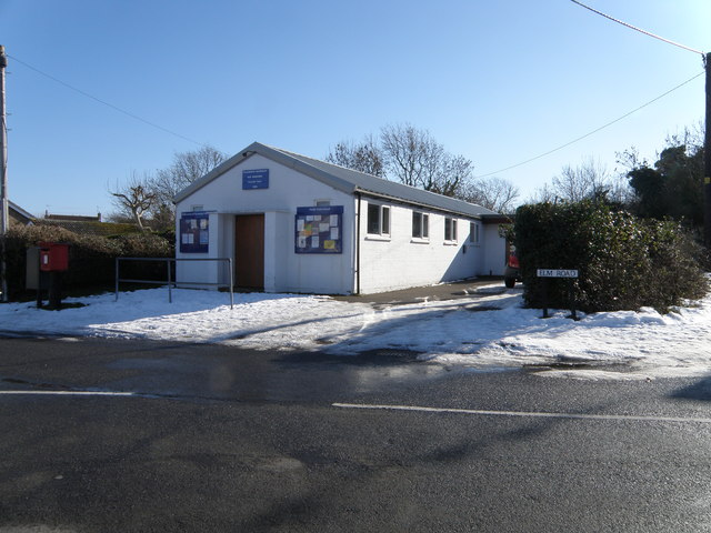
The Green also boasts a rich cultural heritage, with several historic sites and landmarks scattered throughout the area. The villages surrounding The Green are known for their traditional thatched cottages, quaint pubs, and charming local shops, providing visitors with a glimpse into rural English life.
Overall, The Green in Huntingdonshire is a haven for those seeking a peaceful retreat amidst stunning natural beauty. Whether visitors are looking to explore the outdoors, spot wildlife, or immerse themselves in traditional English countryside, The Green offers an idyllic setting for all.
If you have any feedback on the listing, please let us know in the comments section below.
The Green Images
Images are sourced within 2km of 52.509674/-0.32130717 or Grid Reference TL1491. Thanks to Geograph Open Source API. All images are credited.

The Green is located at Grid Ref: TL1491 (Lat: 52.509674, Lng: -0.32130717)
Administrative County: Cambridgeshire
District: Huntingdonshire
Police Authority: Cambridgeshire
What 3 Words
///choppy.newsreel.newsprint. Near Stilton, Cambridgeshire
Related Wikis

Haddon, Cambridgeshire
Haddon is a village and civil parish in Cambridgeshire, England. Haddon lies approximately 5 miles (8 km) south-west of Peterborough city centre, near...
Morborne
Morborne is a village and civil parish in Cambridgeshire, England. Morborne lies approximately 5 miles (8 km) south-west of Peterborough, near Yaxley....

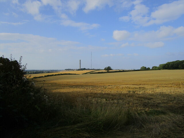
Peterborough transmitting station
The Peterborough transmitting station is a broadcasting and telecommunications facility at Morborne Hill, near Peterborough, England (grid reference TL127913...
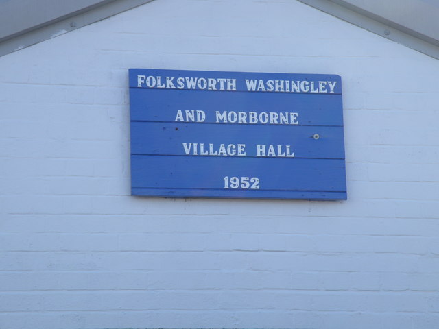
Folksworth and Washingley
Folksworth and Washingley is a civil parish near Peterborough in Cambridgeshire, England, comprising the villages of Folksworth and Washingley.The parish...

Norman Cross Rural District
Norman Cross was a rural district in Huntingdonshire from 1894 to 1974. It was formed in 1894 under the Local Government Act 1894 from the part of the...

Norman Cross Prison
Norman Cross Prison in Huntingdonshire, England, was the world's first purpose-built prisoner-of-war camp or "depot". It was built in 1796–97 to hold prisoners...

A605 road
The A605 road is a main road in the English counties of Northamptonshire and Cambridgeshire. == Route (west to east) == The A605 strikes north from junction...

Washingley
Washingley is a hamlet and former civil parish, now in the parish of Folksworth and Washingley, in Cambridgeshire, England. Washingley lies approximately...
Nearby Amenities
Located within 500m of 52.509674,-0.32130717Have you been to The Green?
Leave your review of The Green below (or comments, questions and feedback).