No Man's Land

Wood, Forest in Sussex Arun

England

No Man's Land

Clump of trees near the top of Steyning Bowl
Clump of trees near the top of Steyning Bowl Credit: Ian Cunliffe

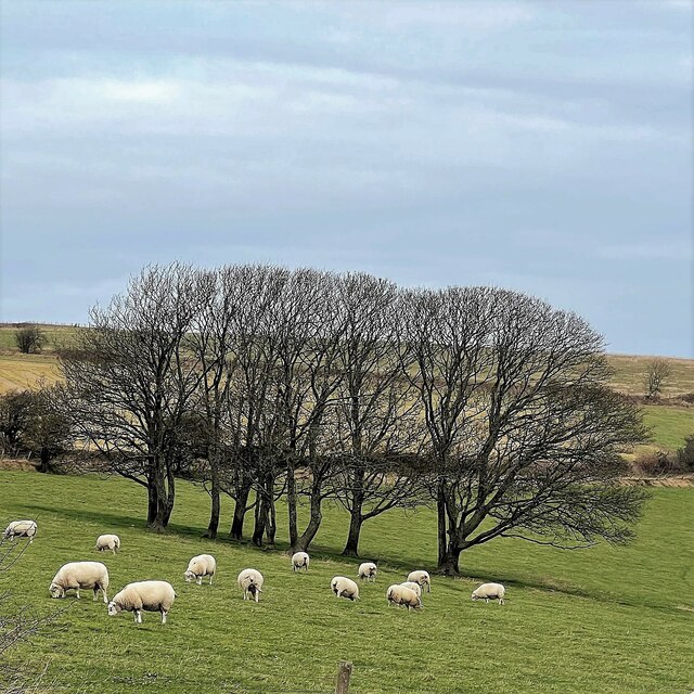
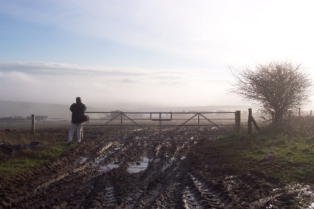
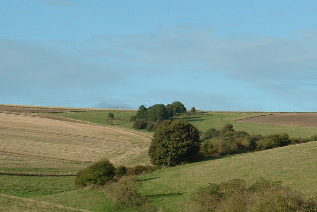
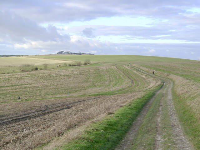
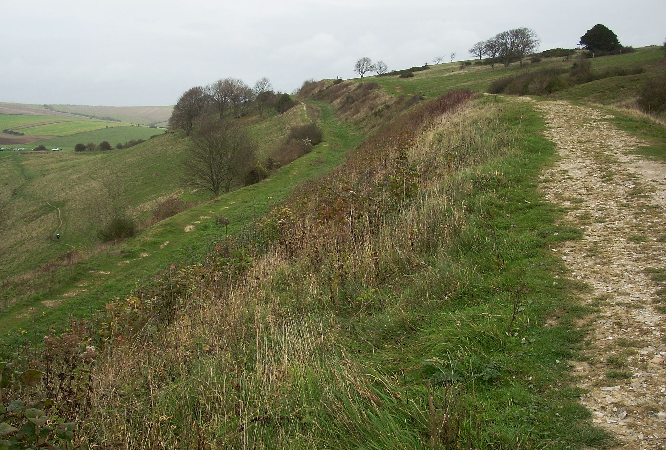
No Man's Land, Sussex is a captivating wood and forest located in the southeastern county of Sussex, England. This enchanting area stretches across approximately 120 acres of land, offering a diverse and picturesque landscape for visitors to explore.

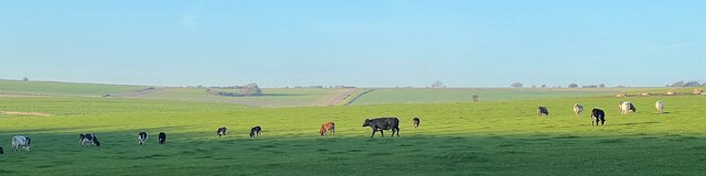
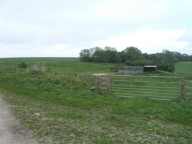
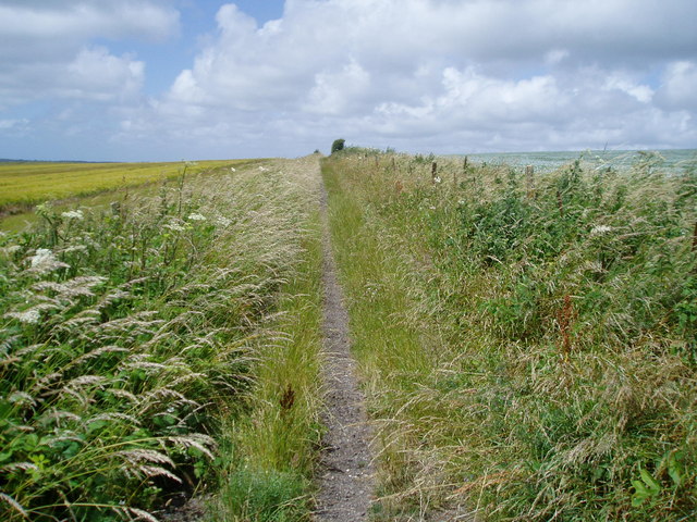
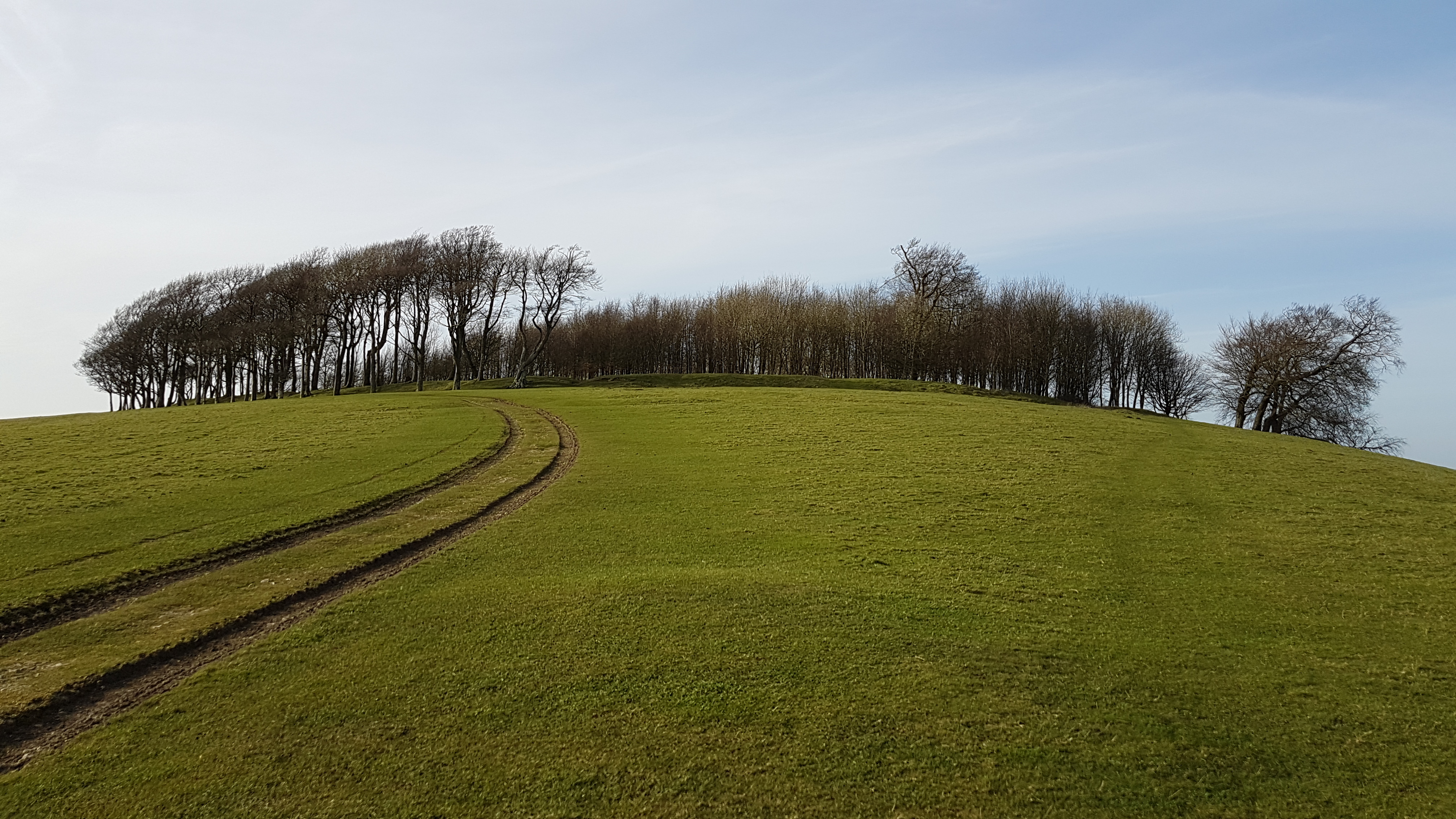
The main feature of No Man's Land is its dense woodland, which is abundant in a variety of tree species including oak, beech, and ash. These towering trees create a tranquil atmosphere and provide shelter to an array of wildlife such as deer, foxes, and numerous bird species. The forest floor is covered in a lush carpet of ferns, wildflowers, and moss, adding to the natural beauty of the area.

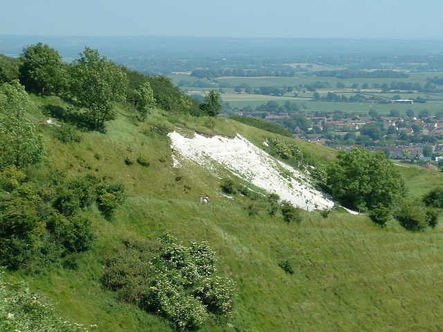
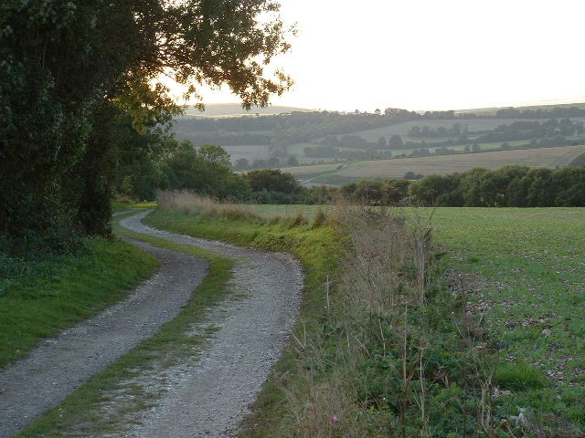
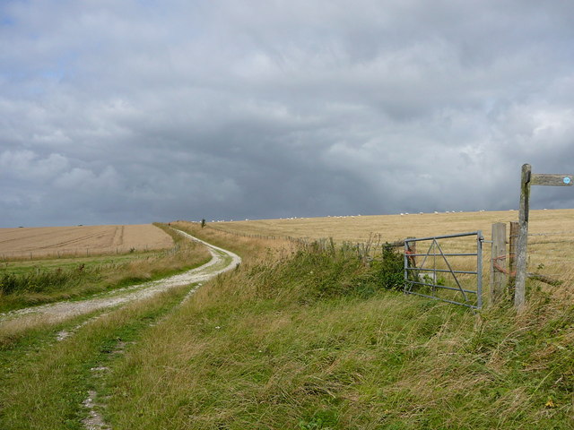
The wood is crisscrossed by a network of well-maintained walking trails, allowing visitors to fully immerse themselves in the peaceful ambiance of the forest. These trails meander through the woodland, offering breathtaking views of the surrounding countryside and opportunities for nature enthusiasts to observe the local flora and fauna up close.

No Man's Land also boasts a small pond, providing a habitat for various aquatic creatures and attracting an array of waterfowl. This serene spot is a popular spot for visitors to relax and enjoy the tranquil sounds of nature.

The wood is easily accessible, with a nearby car park and well-signposted entrances. It is a popular destination for walkers, hikers, and nature lovers seeking solace in the beauty of nature. No Man's Land, Sussex is a true gem, offering a peaceful retreat from the hustle and bustle of everyday life.

If you have any feedback on the listing, please let us know in the comments section below.

No Man's Land Images

Images are sourced within 2km of 50.876865/-0.36858591 or Grid Reference TQ1409. Thanks to Geograph Open Source API. All images are credited.

Clump of trees near the top of Steyning Bowl
Cattle in Canada Bottom - view to the NW This is a cross-grid shot. The camera was in the square to the east.
Cattle in Canada Bottom - view to the NW
This is a cross-grid shot. The camera was in the square to the east.
Mechanical digger - north of Lychpole Farm
Long Way round to Chanctonbury The bridleway meets up with the South Downs Way and is definitely a long way round to the Chanctonbury ring and passes through Chalkpit Wood in the middle of the grid square.
Long Way round to Chanctonbury
The bridleway meets up with the South Downs Way and is definitely a long way round to the Chanctonbury ring and passes through Chalkpit Wood in the middle of the grid square.
Intersection of South Downs Way and Wiston Bostal  Bridleway Having walked all this way, still a way to go. The view from this point is magnificent. This intersection is in the lower half of the grid square. The bridleway cuts through Chalk Pit Wood.
Intersection of South Downs Way and Wiston Bostal Bridleway
Having walked all this way, still a way to go. The view from this point is magnificent. This intersection is in the lower half of the grid square. The bridleway cuts through Chalk Pit Wood.
Steyning Round Hill East side high above Steyning village.
Steyning Round Hill
East side high above Steyning village.
Downland mist A photographer tries to capture a mist-laden downland valley between Chactonbury and Cissbury Rings.
Downland mist
A photographer tries to capture a mist-laden downland valley between Chactonbury and Cissbury Rings.
Downland Looking North towards centre of square
Downland
Looking North towards centre of square
Middle Brow Looking NW across square
Middle Brow
Looking NW across square
Path to Pest House Looking West across the square
Path to Pest House
Looking West across the square
'Stump Barn' Stump Barn.  Sadly no longer with us.  These sheep pens are all there is in its place.
As viewed looking North East from the Chanctonbury Ring to Cissbury Ring bridleway.
A 'short cut' bridleway running North East to the South Downs Way runs across the image, just behind the trees.
'Stump Barn'
Stump Barn. Sadly no longer with us. These sheep pens are all there is in its place. As viewed looking North East from the Chanctonbury Ring to Cissbury Ring bridleway. A 'short cut' bridleway running North East to the South Downs Way runs across the image, just behind the trees.
The path to Chanctonbury Ring This is the path to Chanctonbury Ring from Steyning Roundhill.
The path to Chanctonbury Ring
This is the path to Chanctonbury Ring from Steyning Roundhill.
The Monarch's Way Looking west on restricted byway 2080.
The Monarch's Way
Looking west on restricted byway 2080.
Trig point near Steyning Round Hill The bench mark S3996 is inscribed on the trig point which is situated west of the South Downs Way.The Sussex Weald and South Downs escarpment can be seen in the distance.
Trig point near Steyning Round Hill
The bench mark S3996 is inscribed on the trig point which is situated west of the South Downs Way.The Sussex Weald and South Downs escarpment can be seen in the distance.
Wiston Bostal See <a href="https://www.geograph.org.uk/photo/991248">TQ1412 : Wiston Bostal</a> for an explanation of the name. This section of the bridleway is near the top which in fact is around the next bend ahead. The wood is Chalkpit Wood.
Wiston Bostal
See TQ1412 : Wiston Bostal for an explanation of the name. This section of the bridleway is near the top which in fact is around the next bend ahead. The wood is Chalkpit Wood.
Straw Bales near the South Downs Way Viewed from the track that links Wiston Bostal to Cissbury Ring.
Straw Bales near the South Downs Way
Viewed from the track that links Wiston Bostal to Cissbury Ring.
South Downs Way View from the eastern side of Chanctonbury Hill as the path heads down towards its meeting with Wiston Bostal. The woods to the left are Chalkpit Woods.
South Downs Way
View from the eastern side of Chanctonbury Hill as the path heads down towards its meeting with Wiston Bostal. The woods to the left are Chalkpit Woods.
Storm clouds gathering over the South Downs Way above Wiston Park.
Show me another place!

No Man's Land is located at Grid Ref: TQ1409 (Lat: 50.876865, Lng: -0.36858591)

Administrative County: West Sussex

District: Arun

Police Authority: Sussex

What 3 Words

///airfields.headed.signified. Near Findon, West Sussex

Nearby Locations

Stump Bottom No Man's Land

Related Wikis

Worthing Downland Estate

The Worthing Downland Estate, Worthing Downs or Worthing Downland, is an area of land in the South Downs National Park in West Sussex, England, close to...

Cissbury Ring

Cissbury Ring is an 84.2-hectare (208-acre) biological Site of Special Scientific Interest north of Worthing in West Sussex. It is owned by the National...

Chanctonbury Hill

Chanctonbury Hill is an 82.7-hectare (204-acre) biological Site of Special Scientific Interest west of Steyning in West Sussex. Part of it is Chanctonbury...

Chanctonbury Ring

Chanctonbury Ring is a prehistoric hill fort atop Chanctonbury Hill on the South Downs, on the border of the civil parishes of Washington and Wiston in...
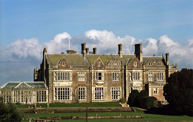
Wiston House

Wiston House is a 16th-century Grade I listed building set in the South Downs National Park on the south coast of England, surrounded by over 6,000 acres...

Findon, West Sussex

Findon is a semi-rural clustered village and civil parish in the Arun District of West Sussex, England, 4 miles (6.4 km) north of Worthing. == Governance... ==
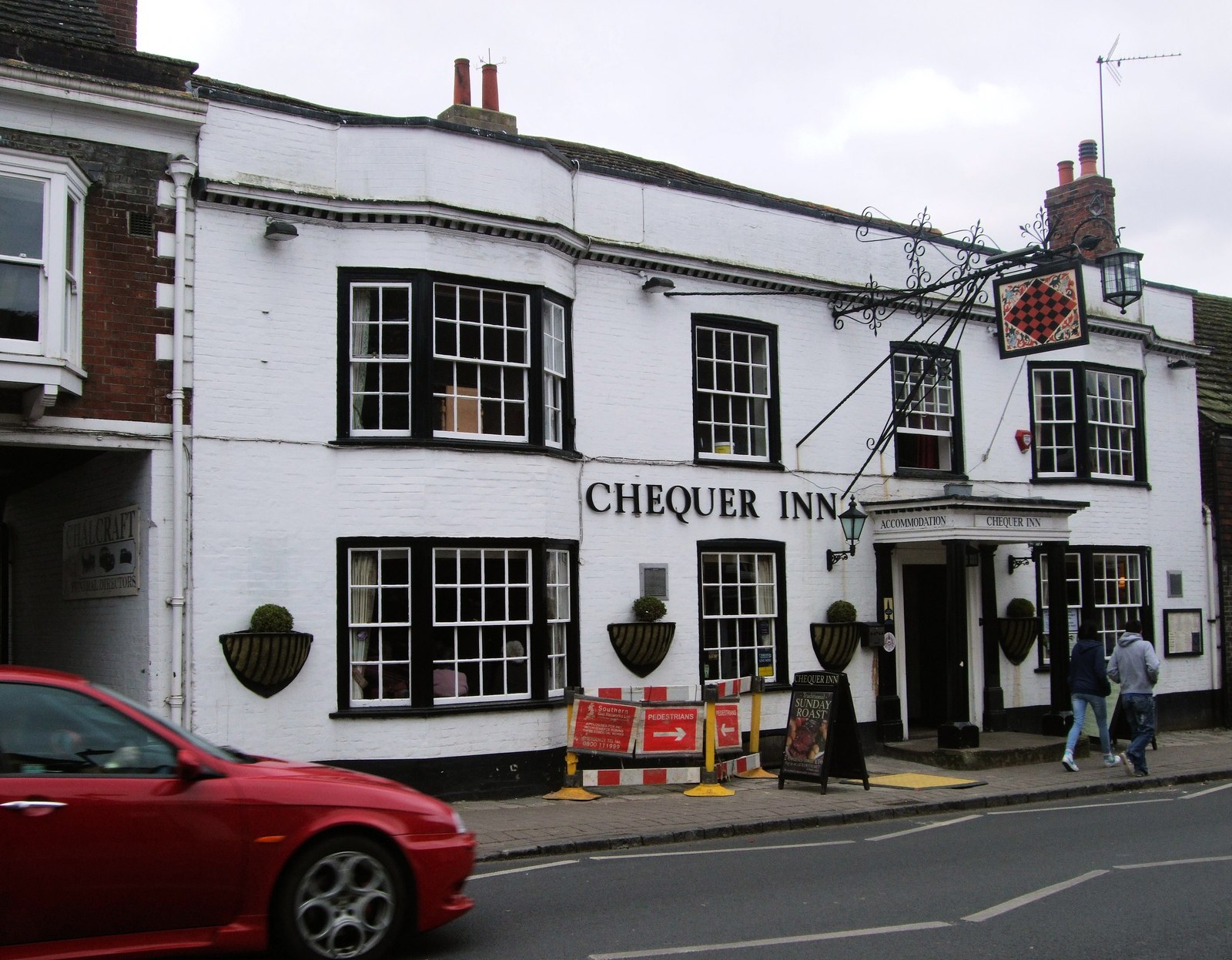
Chequer Inn

The Chequer Inn is a historic 15th Century coaching house (believed to date from around 1440) in the Conservation Area of the old market town of Steyning...

Steyning

Steyning ( STEN-ing) is a town and civil parish in the Horsham district of West Sussex, England. It is located at the north end of the River Adur gap in...

Nearby Amenities

Located within 500m of 50.876865,-0.36858591
The data included in this document is from www.openstreetmap.org. The data is made available under ODbL.

Have you been to No Man's Land?

Leave your review of No Man's Land below (or comments, questions and feedback).