Fir Wood
Wood, Forest in Sussex Horsham
England
Fir Wood
Fir Wood is a picturesque forest located in Sussex, England. Covering an area of approximately 100 acres, it is a sprawling expanse of lush greenery and towering fir trees. The forest is a popular destination for nature lovers, hikers, and those seeking a peaceful retreat from the bustling city life.
The fir trees, after which the wood is named, dominate the landscape with their majestic presence. These coniferous trees, known for their slender, pointed leaves and symmetrical shape, create a tranquil atmosphere within the wood. The forest floor is carpeted with a variety of wildflowers, ferns, and moss, adding to the enchanting beauty of the surroundings.
Fir Wood is home to a diverse range of wildlife, making it a haven for nature enthusiasts. Visitors may spot various bird species such as woodpeckers, owls, and warblers, as well as small mammals like rabbits, squirrels, and foxes. The forest is also known for its population of deer, which can often be observed grazing peacefully in the early morning or at dusk.
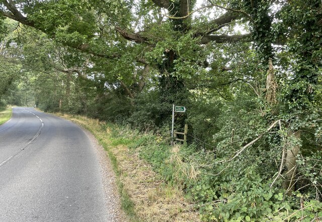
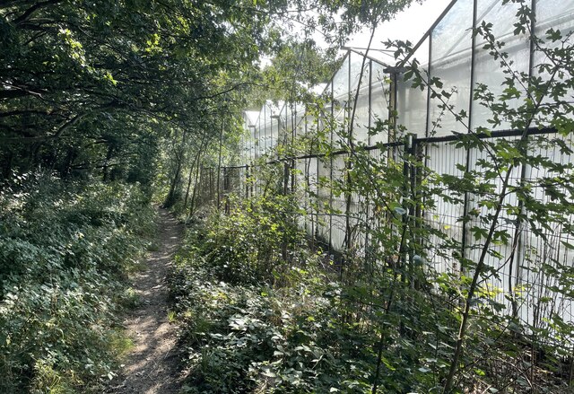
The wood is crisscrossed by several well-maintained trails, making it ideal for hiking and exploring. These paths lead visitors through thickets of trees, over babbling brooks, and up gentle slopes, providing stunning vistas along the way. The trails are suitable for all levels of fitness and offer ample opportunities to connect with nature and enjoy the serenity of the woodland.
Overall, Fir Wood in Sussex is a natural gem, offering a tranquil and awe-inspiring experience to all who venture within its boundaries. Whether it's for a leisurely walk, birdwatching, or simply to escape the hectic pace of everyday life, this forest is a must-visit destination for nature enthusiasts and those seeking solace in the beauty of the great outdoors.
If you have any feedback on the listing, please let us know in the comments section below.
Fir Wood Images
Images are sourced within 2km of 50.937153/-0.37296728 or Grid Reference TQ1416. Thanks to Geograph Open Source API. All images are credited.


Fir Wood is located at Grid Ref: TQ1416 (Lat: 50.937153, Lng: -0.37296728)
Administrative County: West Sussex
District: Horsham
Police Authority: Sussex
What 3 Words
///cobble.loosens.excusing. Near Ashington, West Sussex
Nearby Locations
Related Wikis

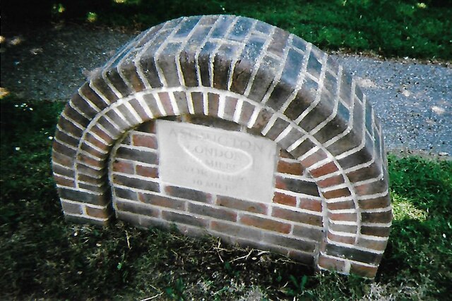
Ashington, West Sussex
Ashington is a village and civil parish in the Horsham District of West Sussex, England. It lies on the A24 road 3 miles (4.8 km) north-east of Storrington...

Wiston, West Sussex
Wiston is a scattered village and civil parish in the Horsham District of West Sussex, England. It lies on the A283 road 2.8 miles (4.5 km) northwest of...

Buncton
Buncton () is a small village in the Horsham District of West Sussex, England, part of the civil parish of Wiston 0.5 miles (0.80 km) north. It lies to...
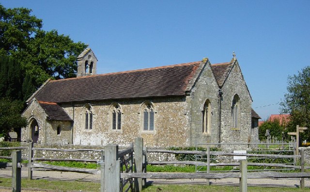
All Saints Church, Buncton
All Saints Church is an Anglican church in the hamlet of Buncton in the district of Horsham, one of seven local government districts in the English county...

Church of the Holy Sepulchre, Warminghurst
The Church of the Holy Sepulchre is a former Anglican church in the hamlet of Warminghurst in the district of Horsham, one of seven local government districts...

Warminghurst
Warminghurst is a village and former civil parish, now in the parish of Thakeham, in the Horsham district of West Sussex, England. It lies on the Ashington...

South Downs National Park
The South Downs National Park is England's newest national park, designated on 31 March 2010. The park, covering an area of 1,627 square kilometres (628...

Dial Post
Dial Post is a village in the Horsham District of West Sussex, England. The civil parish, where the lowest level political meetings are held, is West Grinstead...
Nearby Amenities
Located within 500m of 50.937153,-0.37296728Have you been to Fir Wood?
Leave your review of Fir Wood below (or comments, questions and feedback).