Baldwin's Wood
Wood, Forest in Sussex Horsham
England
Baldwin's Wood
Baldwin's Wood is a picturesque woodland located in the county of Sussex, England. Nestled in the heart of the South Downs National Park, this enchanting forest covers an area of approximately 100 acres, making it a popular destination for nature enthusiasts and outdoor adventurers alike.
The wood is characterized by its diverse and thriving ecosystem, boasting a variety of tree species such as oak, beech, and ash. These towering trees create a dense canopy that provides ample shade, especially during the hot summer months. The forest floor is adorned with a rich carpet of ferns, bluebells, and other wildflowers, creating a vibrant and colorful landscape.
Baldwin's Wood is teeming with wildlife, making it a haven for animal lovers and birdwatchers. Visitors may spot roe deer gracefully bounding through the undergrowth, or catch a glimpse of a shy fox darting between the trees. The wood is also home to a multitude of bird species, including woodpeckers, owls, and various songbirds, which fill the air with their melodious calls.
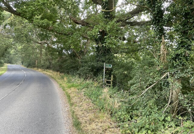
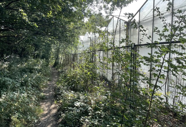
For those seeking solace and tranquility, the wood offers a network of peaceful walking trails that wind through its enchanting scenery. These well-maintained paths cater to walkers of all abilities, allowing visitors to explore the wood at their leisure and immerse themselves in its natural beauty.
Overall, Baldwin's Wood is a hidden gem in Sussex, offering a serene escape from the hustle and bustle of everyday life. Whether one is looking to reconnect with nature, indulge in outdoor activities, or simply enjoy a peaceful stroll, this captivating forest is sure to leave a lasting impression on all who visit.
If you have any feedback on the listing, please let us know in the comments section below.
Baldwin's Wood Images
Images are sourced within 2km of 50.935549/-0.37720756 or Grid Reference TQ1416. Thanks to Geograph Open Source API. All images are credited.


Baldwin's Wood is located at Grid Ref: TQ1416 (Lat: 50.935549, Lng: -0.37720756)
Administrative County: West Sussex
District: Horsham
Police Authority: Sussex
What 3 Words
///rock.dome.decently. Near Ashington, West Sussex
Nearby Locations
Related Wikis

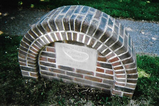
Ashington, West Sussex
Ashington is a village and civil parish in the Horsham District of West Sussex, England. It lies on the A24 road 3 miles (4.8 km) north-east of Storrington...

Wiston, West Sussex
Wiston is a scattered village and civil parish in the Horsham District of West Sussex, England. It lies on the A283 road 2.8 miles (4.5 km) northwest of...

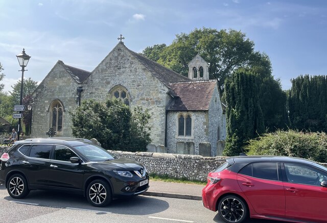
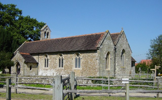
Church of the Holy Sepulchre, Warminghurst
The Church of the Holy Sepulchre is a former Anglican church in the hamlet of Warminghurst in the district of Horsham, one of seven local government districts...

Warminghurst
Warminghurst is a village and former civil parish, now in the parish of Thakeham, in the Horsham district of West Sussex, England. It lies on the Ashington...

Buncton
Buncton () is a small village in the Horsham District of West Sussex, England, part of the civil parish of Wiston 0.5 miles (0.80 km) north. It lies to...
All Saints Church, Buncton
All Saints Church is an Anglican church in the hamlet of Buncton in the district of Horsham, one of seven local government districts in the English county...

South Downs National Park
The South Downs National Park is England's newest national park, designated on 31 March 2010. The park, covering an area of 1,627 square kilometres (628...

Rock Mill, Washington
Rock Mill is a Grade II listed smock mill at Washington, West Sussex, England, which has been converted to residential use. == History == Rock Mill was...
Nearby Amenities
Located within 500m of 50.935549,-0.37720756Have you been to Baldwin's Wood?
Leave your review of Baldwin's Wood below (or comments, questions and feedback).