Alder Copse

Wood, Forest in Surrey Mole Valley

England

Alder Copse

Field Field off Wolvens Lane, a byway between Coldharbour and Wotton.  A couple of Roe Deer can be seen towards the right of the photo.  In the far distance are the North Downs.
Field Credit: Ian Capper

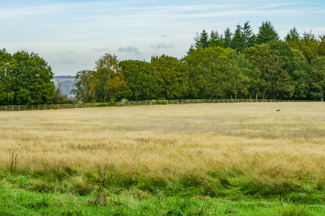
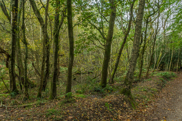
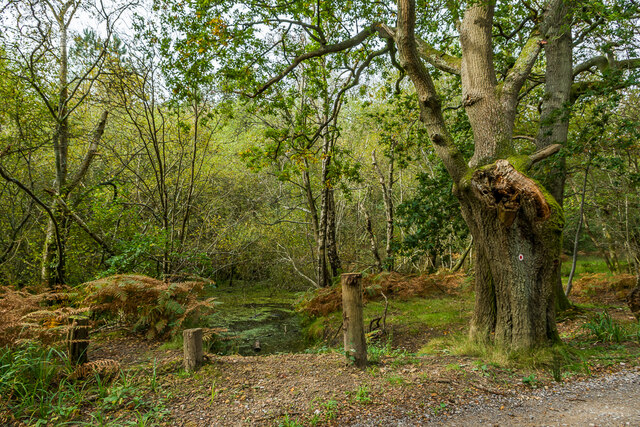
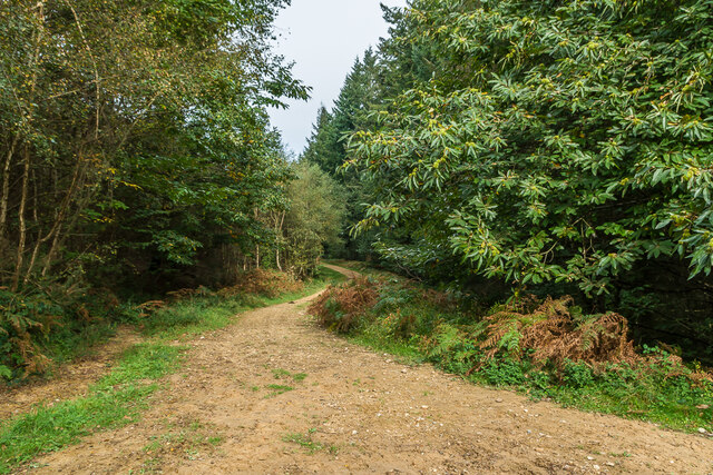
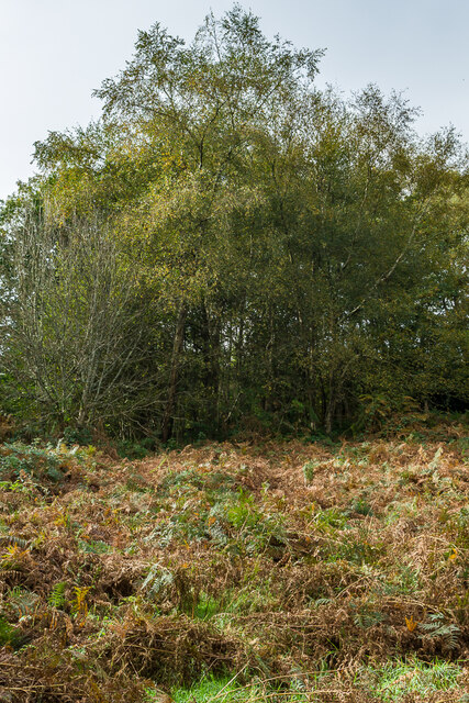
Alder Copse, located in the picturesque county of Surrey, England, is a charming woodland area known for its dense alder trees that dominate the landscape. Covering an area of approximately 10 acres, the copse is a haven for nature enthusiasts and those seeking a peaceful retreat away from the hustle and bustle of urban life.

The copse is characterized by its rich biodiversity, with a variety of wildlife calling it home. It is particularly famous for its bird population, attracting avid birdwatchers throughout the year. The melodious songs of warblers and the occasional sighting of woodpeckers add to the copse's allure.

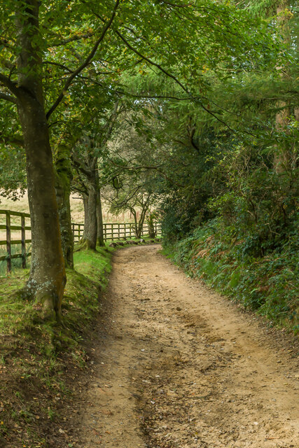
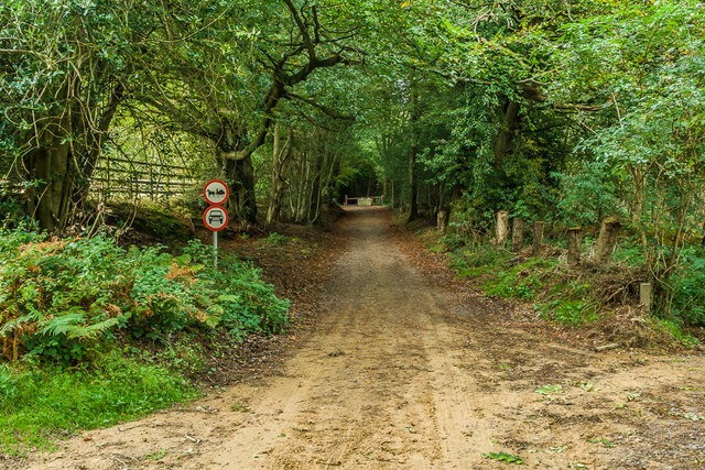
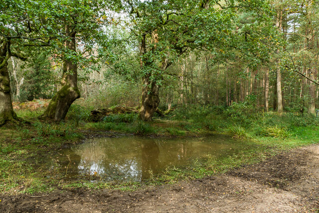
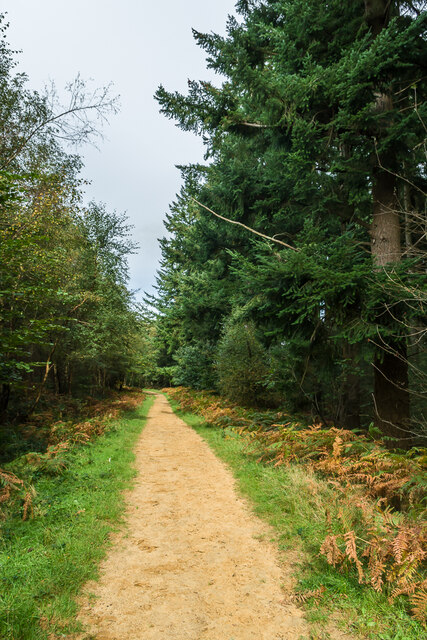
Trails wind through the copse, allowing visitors to explore its beauty at their own pace. These paths meander through the dense undergrowth, where a plethora of wildflowers bloom in spring and summer, creating a vibrant tapestry of colors. The copse is also home to a small stream that meanders through its heart, adding to its tranquility.

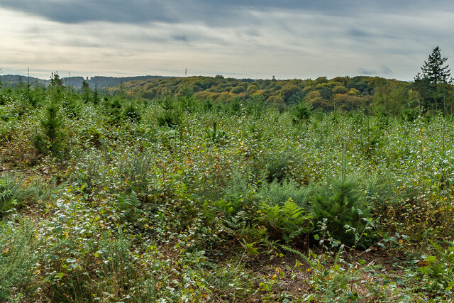
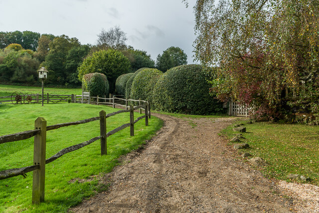
Alder Copse offers a unique opportunity for visitors to experience the natural beauty of Surrey. It serves as a sanctuary for those seeking solace in nature, providing a peaceful retreat for meditation, photography, or simply a leisurely stroll. The copse is accessible year-round, with the changing seasons offering different perspectives of its beauty. Whether one is seeking a vibrant burst of colors in spring or the serene atmosphere of winter, Alder Copse promises a memorable experience for all who venture into its enchanting realm.

If you have any feedback on the listing, please let us know in the comments section below.
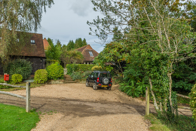
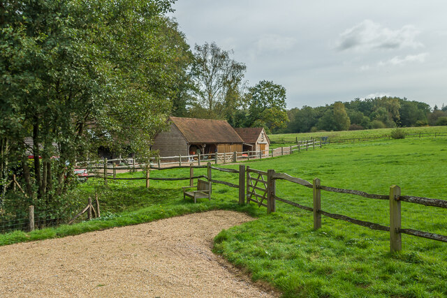
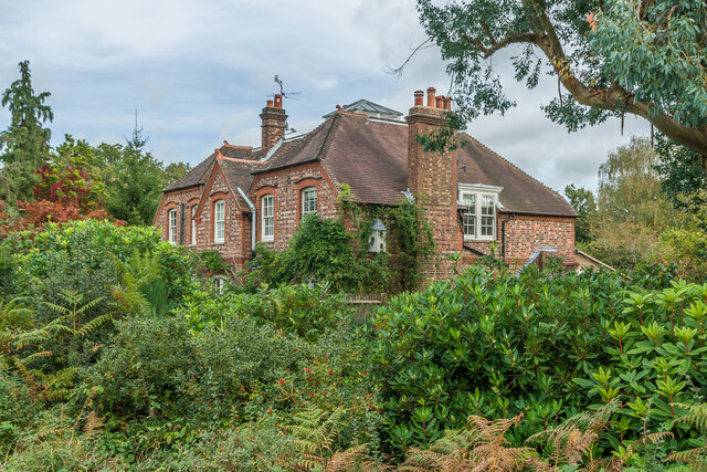
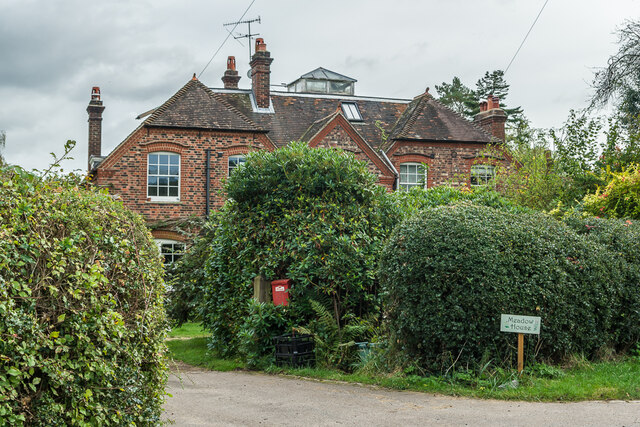
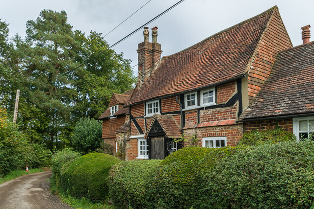
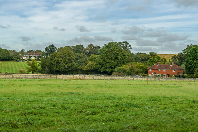
Alder Copse Images

Images are sourced within 2km of 51.208609/-0.36758568 or Grid Reference TQ1446. Thanks to Geograph Open Source API. All images are credited.

Field Field off Wolvens Lane, a byway between Coldharbour and Wotton.  A couple of Roe Deer can be seen towards the right of the photo.  In the far distance are the North Downs.
Field
Field off Wolvens Lane, a byway between Coldharbour and Wotton. A couple of Roe Deer can be seen towards the right of the photo. In the far distance are the North Downs.
Wolvens Lane Byway between Coldharbour and Wotton.
Wolvens Lane
Byway between Coldharbour and Wotton.
Upper Merriden Cottage Remote house on Wolvens Lane, a byway between Coldharbour and Wotton.  The current building dates from the early 2000s, replacing an earlier slightly smaller forester's cottage on the same site but nearer the lane, which had been damaged by fire.
Upper Merriden Cottage
Remote house on Wolvens Lane, a byway between Coldharbour and Wotton. The current building dates from the early 2000s, replacing an earlier slightly smaller forester's cottage on the same site but nearer the lane, which had been damaged by fire.
Wolvens Lane Byway between Coldharbour and Wotton.  Although it is a "BOAT" (Byway open to all traffic), there is currently a temporary closure to four wheel drive vehicles (and horses and carts!), to avoid damage to recent repairs, as indicated by the signs here).  A consultation is currently under way to make the closure permanent.
Wolvens Lane
Byway between Coldharbour and Wotton. Although it is a "BOAT" (Byway open to all traffic), there is currently a temporary closure to four wheel drive vehicles (and horses and carts!), to avoid damage to recent repairs, as indicated by the signs here). A consultation is currently under way to make the closure permanent.
Tankards Pond Partly overgrown pond alongside Wolvens Lane, a byway between Coldharbour and Wotton.
Tankards Pond
Partly overgrown pond alongside Wolvens Lane, a byway between Coldharbour and Wotton.
Tankards Pond Partly overgrown pond alongside Wolvens Lane, a byway between Coldharbour and Wotton.
Tankards Pond
Partly overgrown pond alongside Wolvens Lane, a byway between Coldharbour and Wotton.
Pond A small pond just north of the larger Tankards Pond, alongside Wolvens Lane, a byway between Coldharbour and Wotton.
Pond
A small pond just north of the larger Tankards Pond, alongside Wolvens Lane, a byway between Coldharbour and Wotton.
Replanted woodland Replanted woodland off Wolvens Lane, a byway between Coldharbour and Wotton.  In the left distance can be seen the tower on the summit of Leith Hill.
Replanted woodland
Replanted woodland off Wolvens Lane, a byway between Coldharbour and Wotton. In the left distance can be seen the tower on the summit of Leith Hill.
Squire's Great Wood Path through Squire's Great Wood.
Squire's Great Wood
Path through Squire's Great Wood.
Squire's Great Wood Path through Squire's Great Wood.
Squire's Great Wood
Path through Squire's Great Wood.
Bracken slope A bracken covered slope near Logmore Farm.
Bracken slope
A bracken covered slope near Logmore Farm.
Logmore Farm Track outside Logmore Farm.
Logmore Farm
Track outside Logmore Farm.
Logmore Farm Farm near Logmore Green.
Logmore Farm
Farm near Logmore Green.
Logmore Farm Paddocks at Logmore Farm near Logmore Green.
Logmore Farm
Paddocks at Logmore Farm near Logmore Green.
Meadow House and April Cottage Pair of semi-detached cottages on Logmore Lane.
Meadow House and April Cottage
Pair of semi-detached cottages on Logmore Lane.
Meadow House and April Cottage Pair of semi-detached cottages on Logmore Lane.
Meadow House and April Cottage
Pair of semi-detached cottages on Logmore Lane.
Old Cottage Cottage on Logmore Lane dating from the 17th Century with 19th and 20th Century extensions.  Grade II listed  - see <span class="nowrap"><a title="www.historicengland.org.uk/listing/the-list/list-entry/1391462" rel="nofollow ugc noopener" href="http://www.historicengland.org.uk/listing/the-list/list-entry/1391462">Link</a><img style="margin-left:2px;" alt="External link" title="External link - shift click to open in new window" src="https://s1.geograph.org.uk/img/external.png" width="10" height="10"/></span>.
Old Cottage
Cottage on Logmore Lane dating from the 17th Century with 19th and 20th Century extensions. Grade II listed - see LinkExternal link.
Logmore Place and 3 & 4 Brook Cottages Looking across paddocks from Logmore Green towards 3 & 4 Brook Cottages on the right and Logmore Place in the left distance.
Logmore Place and 3 & 4 Brook Cottages
Looking across paddocks from Logmore Green towards 3 & 4 Brook Cottages on the right and Logmore Place in the left distance.
Show me another place!

Alder Copse is located at Grid Ref: TQ1446 (Lat: 51.208609, Lng: -0.36758568)

Administrative County: Surrey

District: Mole Valley

Police Authority: Surrey

What 3 Words

///oven.call.decay. Near Westcott, Surrey

Related Wikis

Wotton and Abinger Commons

Wotton and Abinger Commons is a 324-hectare (800-acre) nature reserve south-west of Dorking in Surrey. It is managed by the Surrey Wildlife Trust. Part...

Friday Street

Friday Street is a hamlet on the gentle lower north slope of Leith Hill in Surrey, England. It is in a wooded headwater ravine, just to the south of Wotton...

Westcott, Surrey

Westcott is a village in central Surrey, England, about 1.5 miles (2.5 km) west of the centre of Dorking. It is in the Mole Valley district and the Surrey...

Abinger

Abinger is a large, well-wooded and mostly rural civil parish that lies between the settlements of Dorking, Shere and Ewhurst in the district of Mole Valley...

Wotton, Surrey

Wotton is a well-wooded parish with one main settlement, a small village mostly south of the A25 between Guildford in the west and Dorking in the east...

Wotton House, Surrey

Wotton House is a hotel, wedding venue, conference centre and former country house in Wotton near Dorking, Surrey, England. Originally the centre of the...
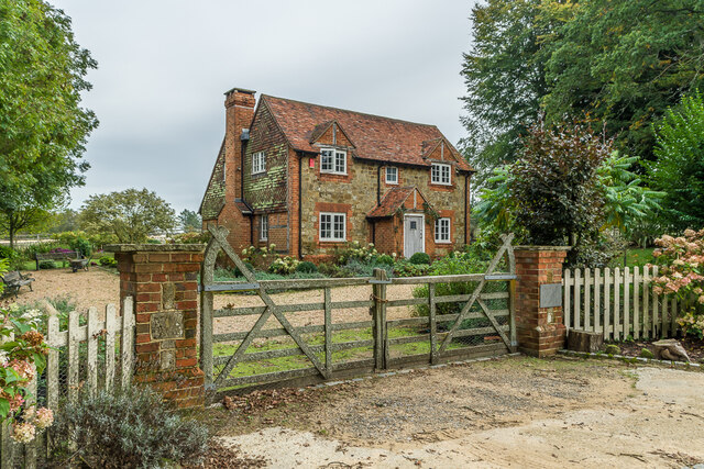
Goddards

Goddards is a Grade II*-listed house in Abinger Common, Surrey, England. It was designed by Edwin Lutyens in 1898–1900 in the ideals of the Arts and Crafts...

A24 road (England)

The A24 is a major road in England that runs for 53.2 miles (85.6 km) from Clapham in south-west London to Worthing on the English Channel in West Sussex...

Nearby Amenities

Located within 500m of 51.208609,-0.36758568
Created By: Potlatch 0.10b
Note: Logmore Farm
Source: TMJ-Mobile_0.6.2
Lat/Long: 51.2088477/-0.3688411
Squires Farm
Landuse: farm
Note Retag: CS #48756035
Source: npe
Lat/Long: 51.2053529/-0.3643594
Logmore Farm
Landuse: farm
Note Retag: CS #48756035
Source: npe
Lat/Long: 51.208352/-0.3679474
Barrier: stile
Lat/Long: 51.2103851/-0.3626243
Barrier: stile
Foot: yes
Lat/Long: 51.2073466/-0.3713395
Barrier: stile
Foot: yes
Lat/Long: 51.2067366/-0.372408
Barrier: entrance
Lat/Long: 51.2074493/-0.3713209
Barrier: stile
Lat/Long: 51.208142/-0.3641176
Barrier: stile
Lat/Long: 51.2113429/-0.3625406
Barrier: stile
Lat/Long: 51.2067668/-0.3727448
Barrier: kissing_gate
Lat/Long: 51.2069396/-0.3659329
The data included in this document is from www.openstreetmap.org. The data is made available under ODbL.

Have you been to Alder Copse?

Leave your review of Alder Copse below (or comments, questions and feedback).