Bridlegate Copse
Wood, Forest in Surrey Mole Valley
England
Bridlegate Copse
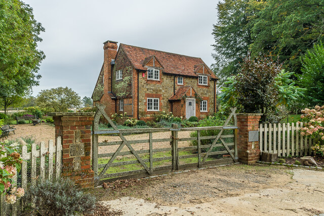
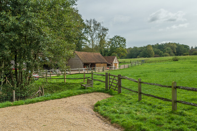
Bridlegate Copse is a picturesque woodland located in the county of Surrey, England. Situated near the village of Bridlegate, the copse covers an area of approximately 50 acres and is a popular destination for nature lovers and outdoor enthusiasts.
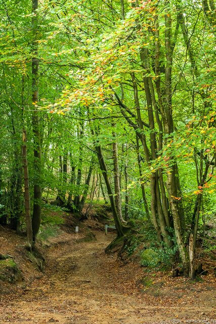
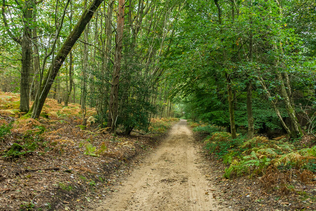
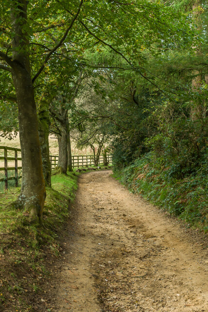
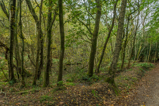
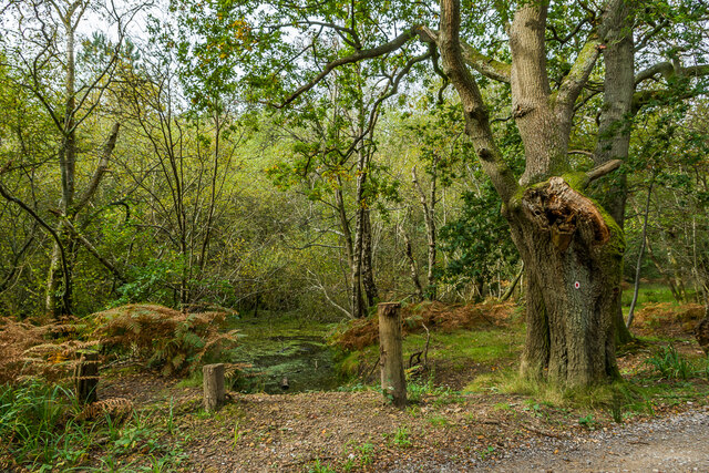
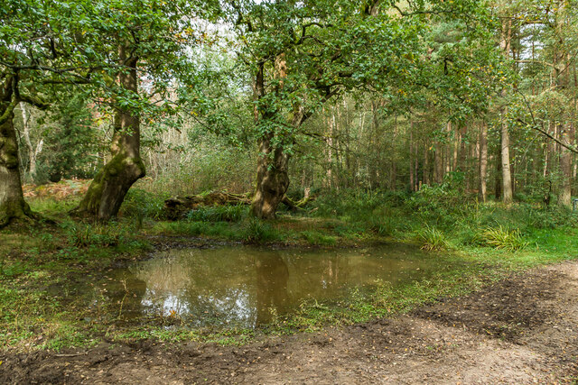
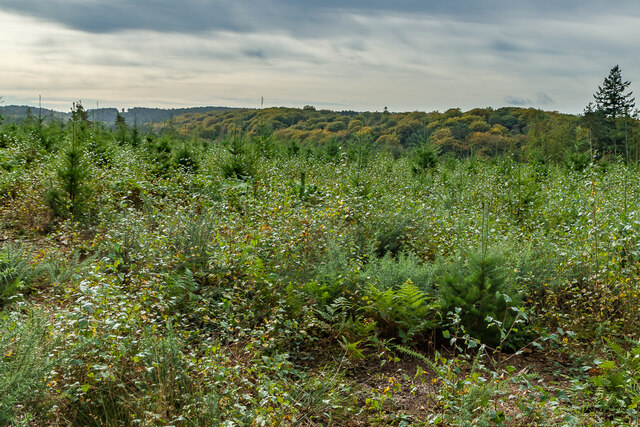
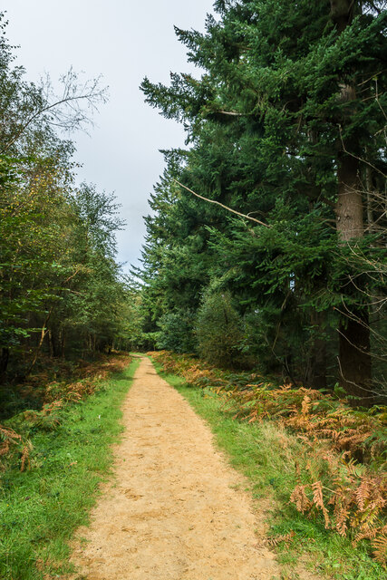
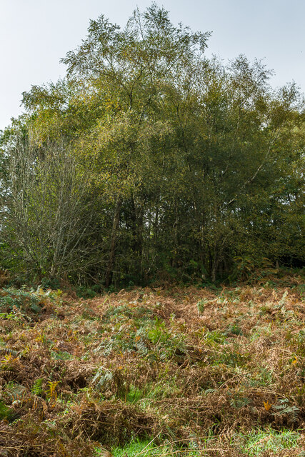
The copse is characterized by its dense and diverse tree cover, consisting primarily of native species such as oak, beech, and birch. These towering trees create a serene and tranquil atmosphere, providing a haven for wildlife and a peaceful retreat for visitors. The forest floor is covered in a lush carpet of ferns, bluebells, and wildflowers, adding to the copse's natural beauty.
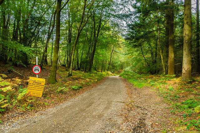
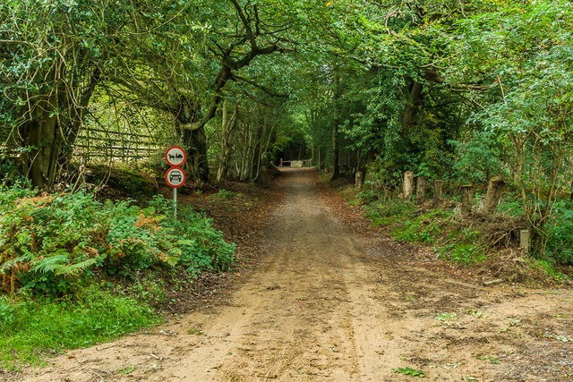
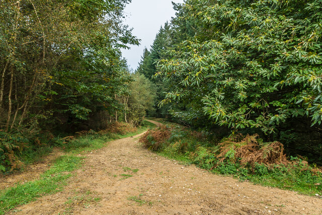
Bridlegate Copse is intersected by a network of well-maintained footpaths, allowing visitors to explore its many hidden corners and discover its hidden gems. The paths wind their way through the woodland, offering opportunities for walking, jogging, and cycling. Along the way, visitors may encounter a variety of wildlife, including deer, foxes, and a multitude of bird species.
The copse is also home to a small stream that meanders through its heart, creating a soothing soundtrack of babbling water. This stream attracts a range of aquatic wildlife, including frogs, newts, and various insect species.
With its stunning scenery and abundant wildlife, Bridlegate Copse offers a welcome escape from the hustle and bustle of everyday life. Whether it's for a leisurely stroll, a picnic in nature, or simply a moment of solitude, this woodland gem in Surrey provides a truly enchanting experience for all who visit.
If you have any feedback on the listing, please let us know in the comments section below.
Bridlegate Copse Images
Images are sourced within 2km of 51.20666/-0.36512073 or Grid Reference TQ1446. Thanks to Geograph Open Source API. All images are credited.
Bridlegate Copse is located at Grid Ref: TQ1446 (Lat: 51.20666, Lng: -0.36512073)
Administrative County: Surrey
District: Mole Valley
Police Authority: Surrey
What 3 Words
///bumpy.copies.wizard. Near Westcott, Surrey
Nearby Locations
Related Wikis

Wotton and Abinger Commons
Wotton and Abinger Commons is a 324-hectare (800-acre) nature reserve south-west of Dorking in Surrey. It is managed by the Surrey Wildlife Trust. Part...

Friday Street
Friday Street is a hamlet on the gentle lower north slope of Leith Hill in Surrey, England. It is in a wooded headwater ravine, just to the south of Wotton...

Abinger
Abinger is a large, well-wooded and mostly rural civil parish that lies between the settlements of Dorking, Shere and Ewhurst in the district of Mole Valley...

Westcott, Surrey
Westcott is a village in central Surrey, England, about 1.5 miles (2.5 km) west of the centre of Dorking. It is in the Mole Valley district and the Surrey...

Wotton, Surrey
Wotton is a well-wooded parish with one main settlement, a small village mostly south of the A25 between Guildford in the west and Dorking in the east...

Wotton House, Surrey
Wotton House is a hotel, wedding venue, conference centre and former country house in Wotton near Dorking, Surrey, England. Originally the centre of the...

A24 road (England)
The A24 is a major road in England that runs for 53.2 miles (85.6 km) from Clapham in south-west London to Worthing on the English Channel in West Sussex...

Coldharbour, Surrey
Coldharbour is a hamlet in the Mole Valley district, in the English county of Surrey. It is on a minor road from Dorking to Leith Hill Place. == Description... ==
Nearby Amenities
Located within 500m of 51.20666,-0.36512073Have you been to Bridlegate Copse?
Leave your review of Bridlegate Copse below (or comments, questions and feedback).