Woodfern Wick
Wood, Forest in Hertfordshire North Hertfordshire
England
Woodfern Wick
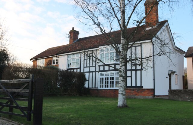
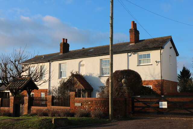
Woodfern Wick is a small village located in the county of Hertfordshire, England. Nestled amidst a picturesque landscape, it is known for its abundant woodlands and lush greenery, which give the village its distinctive name. With a population of around 500 residents, Woodfern Wick offers a peaceful and close-knit community atmosphere.
The village is primarily residential, with a mix of traditional cottages, modern houses, and a few small businesses catering to the local needs. It benefits from its proximity to nearby towns such as Hertford and Ware, which provide additional amenities and employment opportunities.
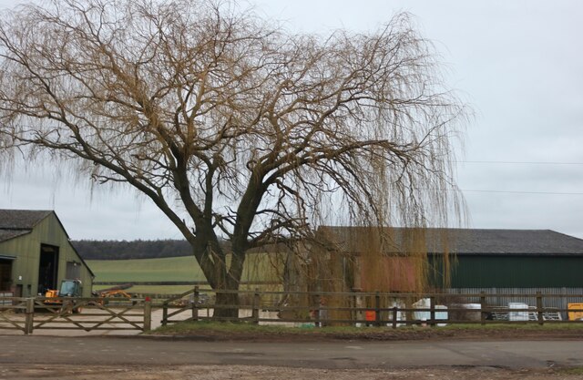
Woodfern Wick is renowned for its natural beauty and is a popular destination for nature enthusiasts and outdoor activities. The area is rich in woodlands, including ancient oak and beech trees, providing ample opportunities for walking, hiking, and wildlife spotting. The village is also crisscrossed by several well-maintained footpaths and bridleways, offering residents and visitors the chance to explore the surrounding countryside.
The village is served by a primary school, providing education to the local children, and a village hall, which hosts a range of community events and activities. Additionally, there are a few local shops and a cozy pub, offering essential services and a place for residents to socialize.
Woodfern Wick is well-connected to the rest of Hertfordshire and beyond by road and public transport. The nearby A414 provides easy access to major towns and cities, while regular bus services connect the village to neighboring areas.
In summary, Woodfern Wick is a charming village in Hertfordshire, known for its natural beauty, close-knit community, and access to the surrounding woodlands.
If you have any feedback on the listing, please let us know in the comments section below.
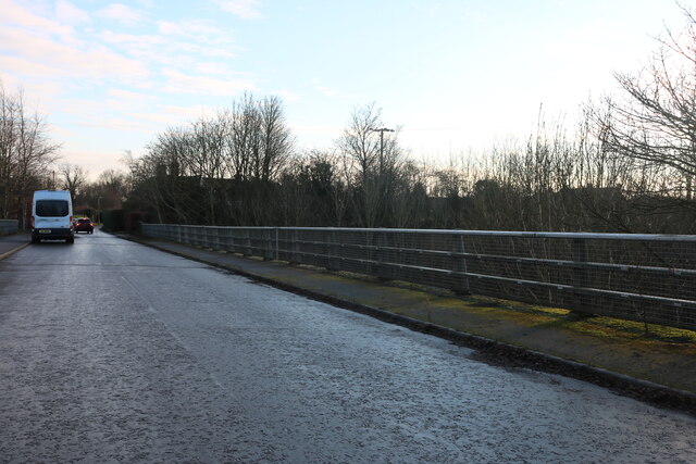
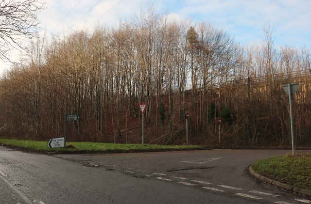
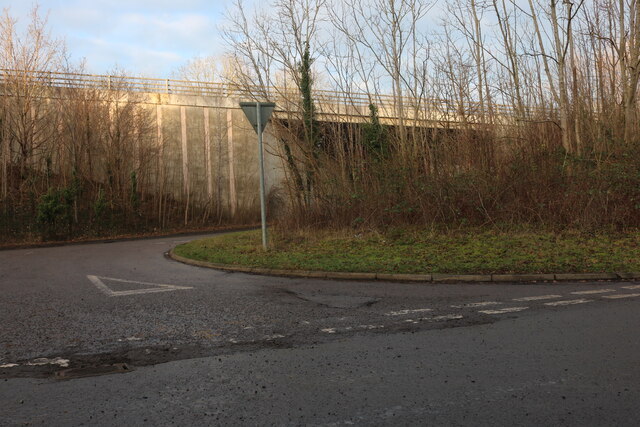
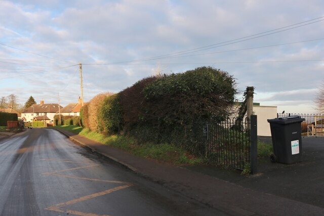
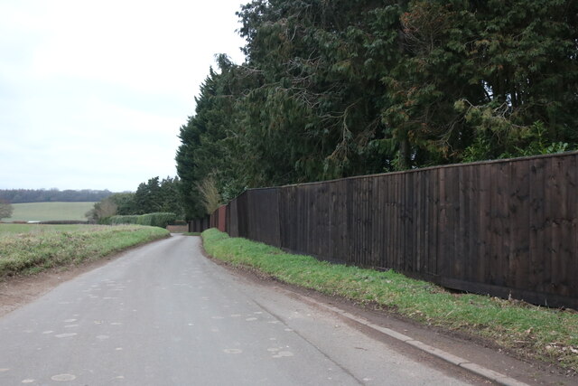
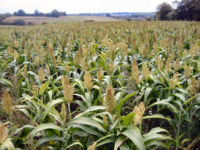
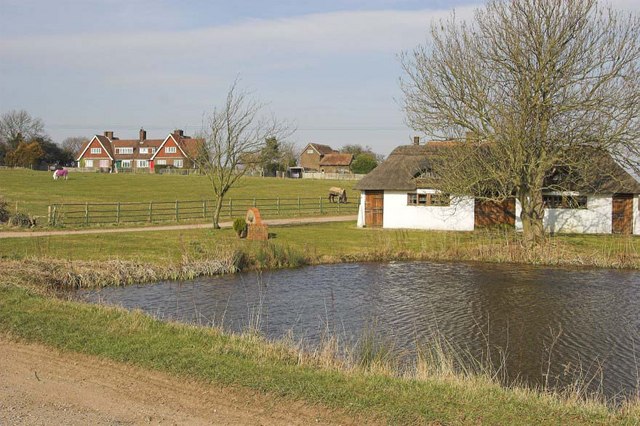
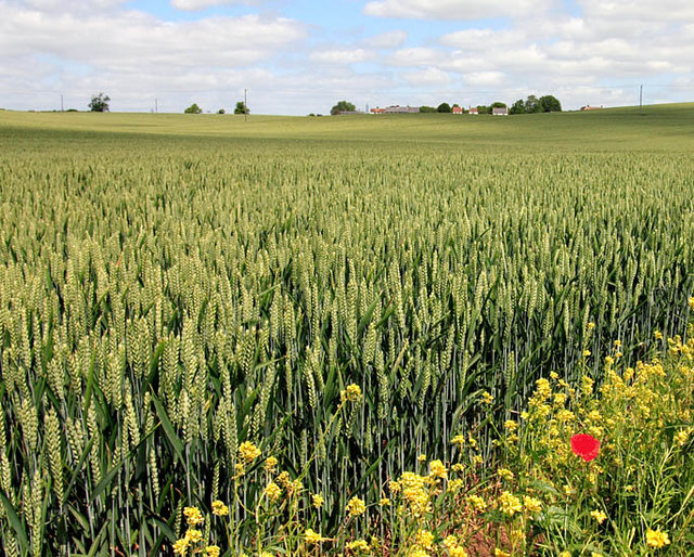
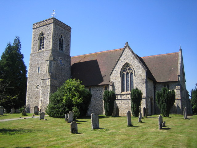
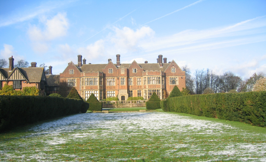
Woodfern Wick Images
Images are sourced within 2km of 51.917212/-0.33930728 or Grid Reference TL1425. Thanks to Geograph Open Source API. All images are credited.


Woodfern Wick is located at Grid Ref: TL1425 (Lat: 51.917212, Lng: -0.33930728)
Administrative County: Hertfordshire
District: North Hertfordshire
Police Authority: Hertfordshire
What 3 Words
///blueberry.snowmen.jelly. Near Hitchin, Hertfordshire
Nearby Locations
Related Wikis

Offley
Offley is a civil parish in the English county of Hertfordshire, between Hitchin and Luton. The main village is Great Offley, and the parish also contains...
Lilley, Hertfordshire
Lilley is a small village and civil parish situated between Hitchin and Luton in Hertfordshire, England. Lilley stands on high ground: nearby Telegraph...

Breachwood Green Mill, King's Walden
Breachwood Green Mill is a Grade II listed tower mill at King's Walden, Hertfordshire, England which has been converted to residential accommodation....
Putteridge Bury
Putteridge Bury is a country house on the edge of the built-up area of Luton, Bedfordshire, England but located just over the county boundary in the parish...

Putteridge
Putteridge is a suburb at the north-eastern edge of Luton, in Bedfordshire, England. Putteridge is a little over 2 miles (3.2 km) from Luton town centre...
Putteridge High School
Putteridge High School is a co-educational secondary school located in the Putteridge area of Luton, in the English county of Bedfordshire. == History... ==
Wigmore, Luton
Wigmore is a suburb of Luton about 2 miles (3.2 km) east north-east of the town centre, and a ward of the Borough of Luton, in the ceremonial county of...
Hitchin Yeshiva
Yeshivas Toras Chessed is a Jewish yeshiva, or rabbinical school. Its curriculum focuses on Torah study, emphasizing the study of Talmud and Jewish law...
Nearby Amenities
Located within 500m of 51.917212,-0.33930728Have you been to Woodfern Wick?
Leave your review of Woodfern Wick below (or comments, questions and feedback).