New Plantation
Wood, Forest in Hertfordshire St. Albans
England
New Plantation
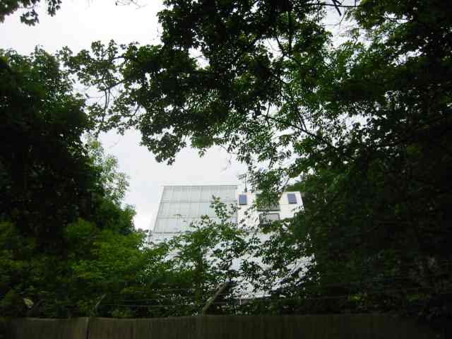
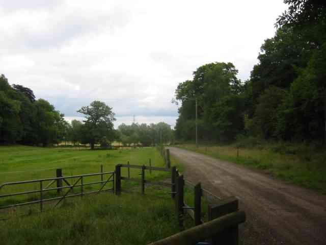
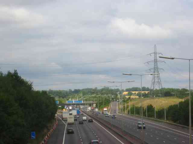
New Plantation is a scenic woodland located in Hertfordshire, England. Situated in the southern part of the county, it covers an area of approximately 200 acres, making it a significant natural attraction in the region. The plantation is part of a larger forested area and is characterized by its dense and diverse collection of trees.
The woodland is home to a variety of tree species, including oak, beech, birch, and pine. These trees create a lush and vibrant environment, providing habitat for numerous wildlife species. Walking through the plantation, visitors can admire the towering trees, listen to the soothing sounds of birdsong, and catch glimpses of squirrels, foxes, and deer that call the area home.
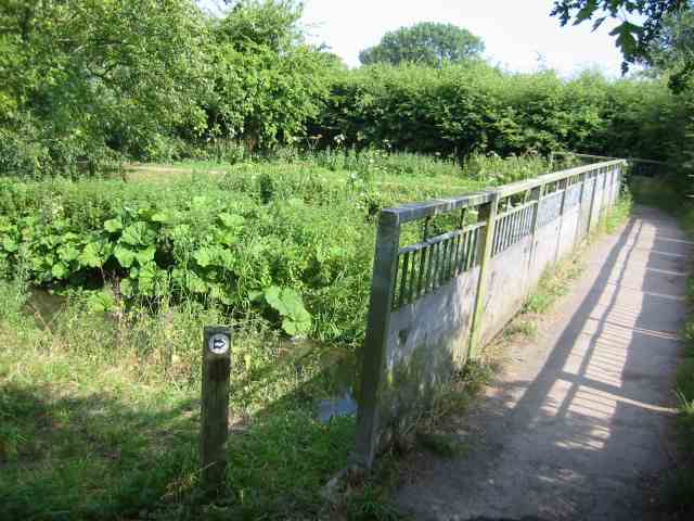
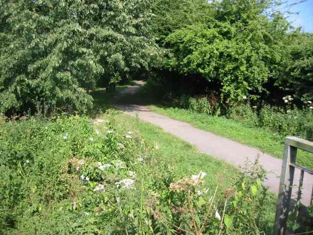
The plantation offers an array of recreational activities for visitors to enjoy. There are several well-maintained walking trails that wind through the woodland, providing opportunities for leisurely strolls or more challenging hikes. These paths are also suitable for cycling and horse riding, catering to a range of outdoor enthusiasts.
For those interested in wildlife observation and photography, New Plantation offers an excellent chance to spot a variety of bird species, such as woodpeckers, owls, and various songbirds. The tranquil atmosphere and natural beauty of the woodland make it an ideal spot for nature lovers and photographers alike.
Overall, New Plantation in Hertfordshire is a picturesque woodland that offers a peaceful escape from the bustling city life. Its thriving ecosystem and diverse range of recreational activities provide visitors with a memorable and enriching experience in the heart of nature.
If you have any feedback on the listing, please let us know in the comments section below.
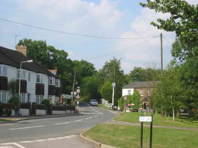
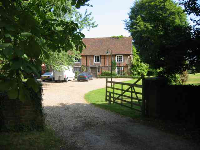
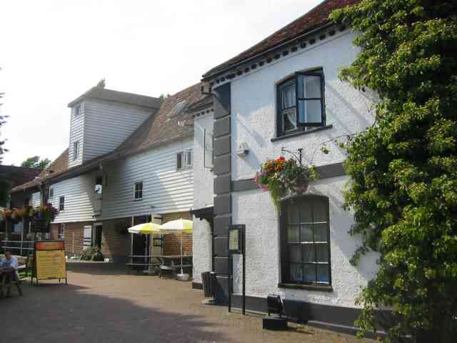
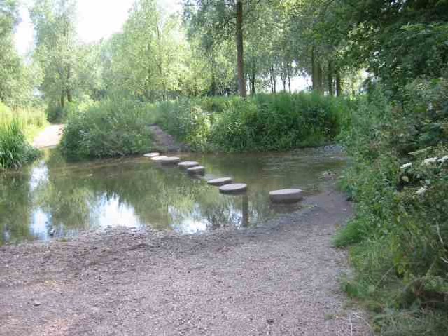
New Plantation Images
Images are sourced within 2km of 51.69853/-0.35726625 or Grid Reference TL1301. Thanks to Geograph Open Source API. All images are credited.


New Plantation is located at Grid Ref: TL1301 (Lat: 51.69853, Lng: -0.35726625)
Administrative County: Hertfordshire
District: St. Albans
Police Authority: Hertfordshire
What 3 Words
///small.voted.chats. Near Radlett, Hertfordshire
Nearby Locations
Related Wikis

River Ver
The Ver is a 28 km (17 mi) long chalk stream in Hertfordshire, England. It is a tributary of the River Colne. == Course == The source is in the grounds...

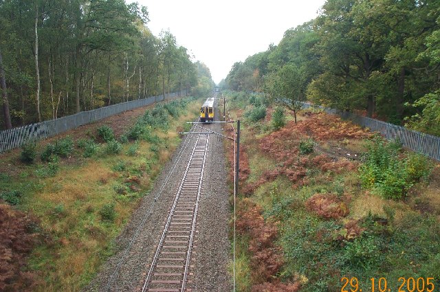
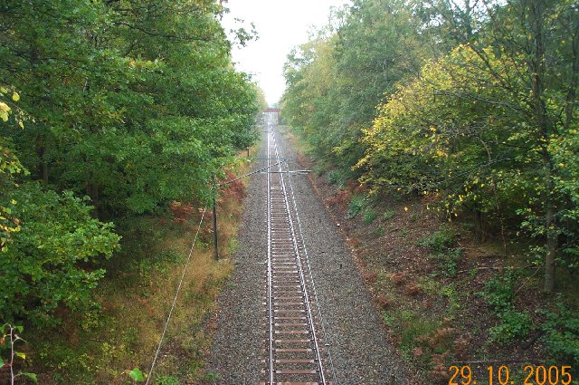
Abbey Line
The Abbey Line, also called the St Albans Abbey branch line, is a railway line from Watford Junction to St Albans Abbey. The 6.5-mile (10.5 km) route passes...

Bricket Wood Common
Bricket Wood Common is a 70 hectare open space and biological Site of Special Scientific Interest in Bricket Wood in Hertfordshire. It is managed by St...
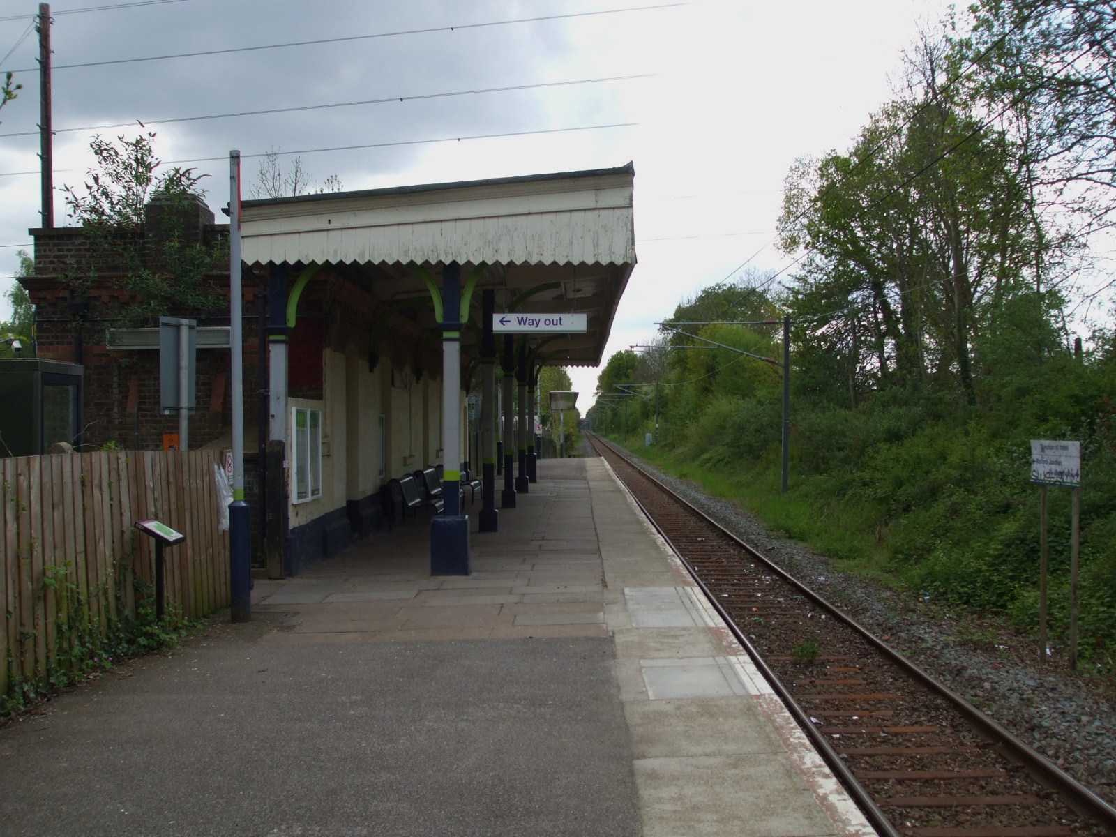
Bricket Wood railway station
Bricket Wood railway station is in the village of Bricket Wood, Hertfordshire, England, on the Abbey Line 31⁄4 miles (5 km) east of Watford Junction. The...

Hanstead Stud
The Hanstead Stud was a breeding farm in England for Arabian horses. It was active from 1928 to 1957, and its animals had a significant impact in many...
Hanstead House
Hanstead House or Hanstead Park is a country house estate in Hertfordshire, England. Hanstead is near Bricket Wood, about three miles from Radlett and...

Munden House
Munden House and its estate are located between Watford, Radlett and Bricket Wood in the county of Hertfordshire, England. It is a Grade II listed building...
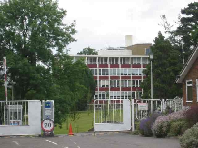
Building Research Establishment
The Building Research Establishment (BRE) is a centre of building science in the United Kingdom, owned by charitable organisation the BRE Trust. It is...
Nearby Amenities
Located within 500m of 51.69853,-0.35726625Have you been to New Plantation?
Leave your review of New Plantation below (or comments, questions and feedback).