Jack William's Wood

Wood, Forest in Hertfordshire St. Albans

England

Jack William's Wood

Building Research Establishment Garston As you see the security is tight but I did get access once to see the experimental house.
Building Research Establishment Garston Credit: Jack Hill

Jack William's Wood is a picturesque forest located in Hertfordshire, England. Spread across a vast area of land, it offers a serene and tranquil environment for visitors to immerse themselves in nature's beauty.

The wood is predominantly composed of native British trees, including oak, beech, and birch, which provide a diverse and vibrant ecosystem. The dense foliage creates a canopy, allowing filtered sunlight to seep through, casting enchanting shadows on the forest floor. Spring brings an explosion of colorful wildflowers, carpeting the ground with a vibrant tapestry of blues, pinks, and yellows.

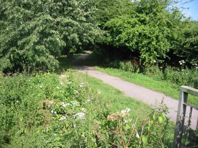
A well-maintained network of walking trails meanders through the wood, providing visitors with an opportunity to explore its natural wonders. Nature enthusiasts can spot a variety of wildlife, such as deer, foxes, and rabbits, as they venture deeper into the forest.

For birdwatchers, Jack William's Wood offers a feast for the eyes and ears. The melodious songs of various bird species, including robins, blackbirds, and blue tits, fill the air, creating a symphony of nature's music.

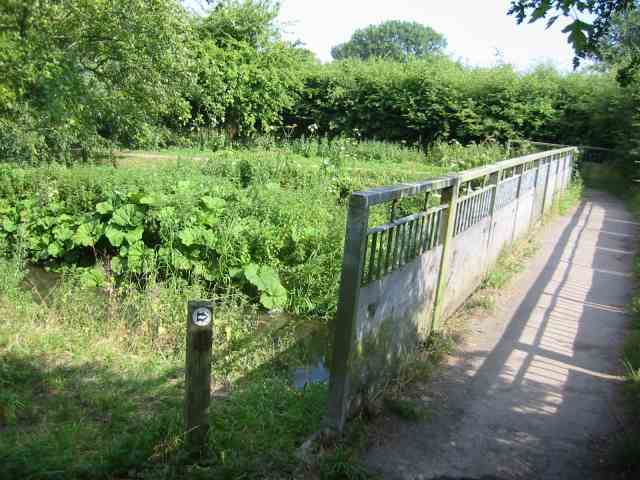
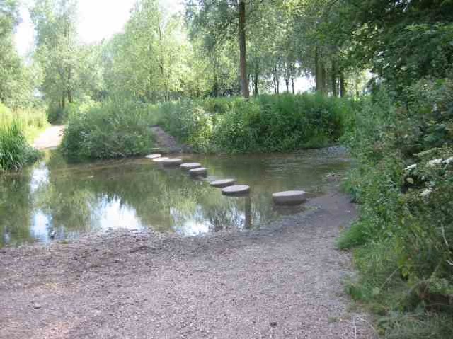
The wood is also home to a small stream that trickles through its heart, providing a refreshing respite for both humans and animals. The babbling brook adds to the overall serenity of the environment, making it a perfect spot for picnics or simply unwinding amidst the soothing sounds of nature.

Jack William's Wood, with its diverse flora and fauna, offers a true escape from the hustle and bustle of everyday life. Whether it is for a leisurely stroll, a bird-watching adventure, or a peaceful retreat, this enchanting forest is a must-visit destination for nature lovers.

If you have any feedback on the listing, please let us know in the comments section below.

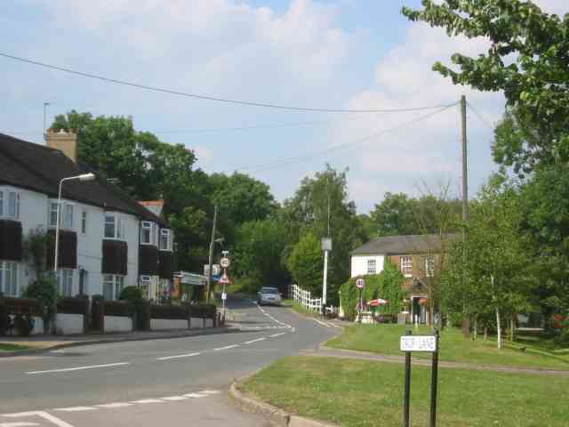
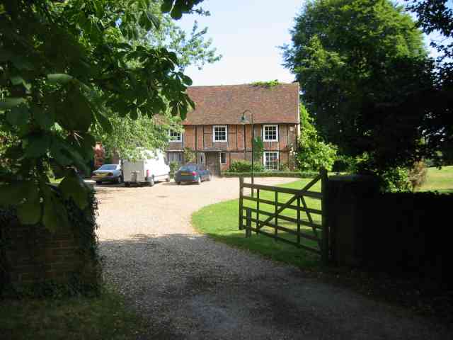
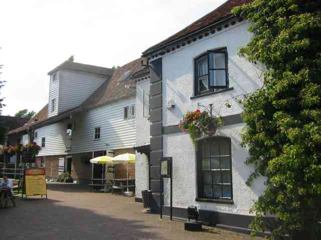
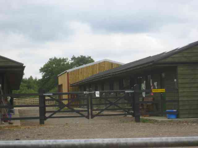
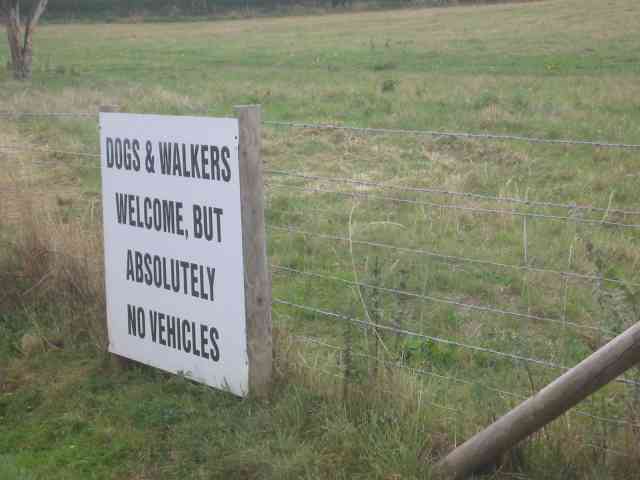
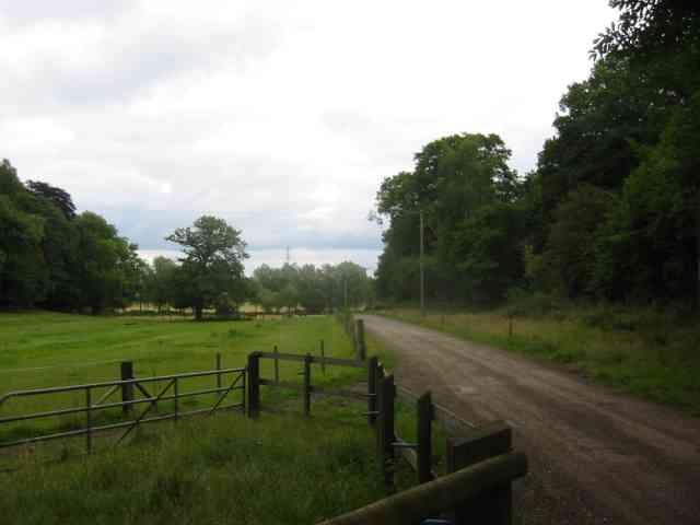
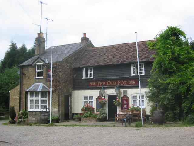
Jack William's Wood Images

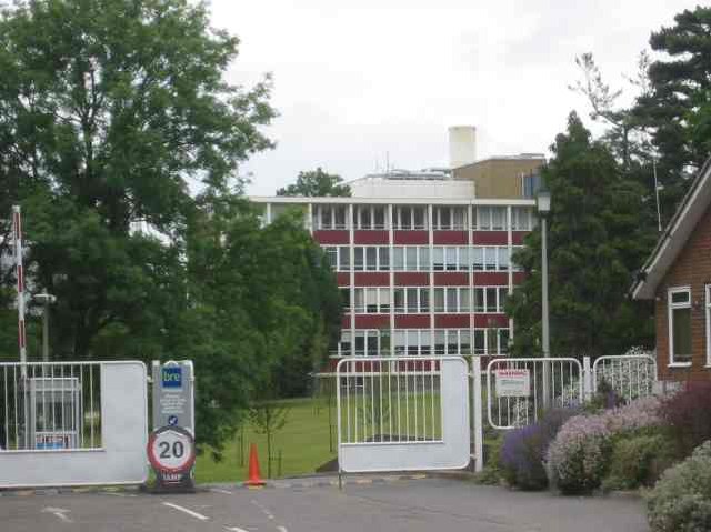
Images are sourced within 2km of 51.699306/-0.35424271 or Grid Reference TL1301. Thanks to Geograph Open Source API. All images are credited.

Building Research Establishment Garston As you see the security is tight but I did get access once to see the experimental house.
Building Research Establishment Garston
As you see the security is tight but I did get access once to see the experimental house.
B.R.E. at Garston They have allowed the trees to grow as the neighbours don't like the "modern" design. The house has a front elevation of sloping glass to catch the sun.
B.R.E. at Garston
They have allowed the trees to grow as the neighbours don't like the "modern" design. The house has a front elevation of sloping glass to catch the sun.
Footbridge at Ver Walk Drop Lane The walk follows the River Ver northwards from this bridge. The boards are to prevent horses slipping and trapping their legs.
Footbridge at Ver Walk Drop Lane
The walk follows the River Ver northwards from this bridge. The boards are to prevent horses slipping and trapping their legs.
Walk by the River Ver in Drop Lane. For almost its whole length the walk is well shaded
by mature trees.
Walk by the River Ver in Drop Lane.
For almost its whole length the walk is well shaded by mature trees.
Tollgate Pub at Smug Oak The road sign Drop Lane leads back to a large house and eventually the Ver walk.
Tollgate Pub at Smug Oak
The road sign Drop Lane leads back to a large house and eventually the Ver walk.
The Hansteads in Drop Lane Smug Oak.
Moor Mill Inn  Frogmore The Mill was converted into a pub and hotel and the gardens have several streams and a weir for atmosphere
Moor Mill Inn Frogmore
The Mill was converted into a pub and hotel and the gardens have several streams and a weir for atmosphere
Stepping stones across the River Ver  Drop Lane. The environment agency and others won't allow replacement of the missing stones. {Might cause a blockage of twigs } so walkers have to wade. OK for horse riders
Stepping stones across the River Ver Drop Lane.
The environment agency and others won't allow replacement of the missing stones. {Might cause a blockage of twigs } so walkers have to wade. OK for horse riders
Junior School  Bricket Wood Herts Gates were unlocked. Usually they are locked and  there are signs saying keep out
Junior School Bricket Wood Herts
Gates were unlocked. Usually they are locked and there are signs saying keep out
Smug Oak Stables
Smug Oak Stables
Business Park sandwiched between Watling Street and Railway The shiny cladding to the warehouse is overpowering but commerce provides jobs so who's complaining
Business Park sandwiched between Watling Street and Railway
The shiny cladding to the warehouse is overpowering but commerce provides jobs so who's complaining
Ex Black Horse Pub,    Colney Street This pile of bricks has been lying here for a couple of years and a sign says that John and Jean are mine hosts.  Strange.
They also had karaoke nights.
Ex Black Horse Pub, Colney Street
This pile of bricks has been lying here for a couple of years and a sign says that John and Jean are mine hosts. Strange. They also had karaoke nights.
Business premises on Watling Street, Colney Street This development has taken the place of an unwanted
petrol station. The business is said to be asset management and sports management.
Business premises on Watling Street, Colney Street
This development has taken the place of an unwanted petrol station. The business is said to be asset management and sports management.
The Brook flowing under Oakridge Avenue  Radlett The brook was known as "Tykes Water" and flowed from Aldenham Reservoir to the Coln.
The Brook flowing under Oakridge Avenue Radlett
The brook was known as "Tykes Water" and flowed from Aldenham Reservoir to the Coln.
Last house in the road,  Private Estate, Radlett This is an upmarket estate but I wonder how they organise repairs to the tarmac roads.
Last house in the road, Private Estate, Radlett
This is an upmarket estate but I wonder how they organise repairs to the tarmac roads.
Sign at end of the upmarket estate. Actually there is also a notice which says "No Horses"
Sign at end of the upmarket estate.
Actually there is also a notice which says "No Horses"
Entrance road to Little Munden Farm Where they sell horse feed and other items
Entrance road to Little Munden Farm
Where they sell horse feed and other items
The Old Fox, School Lane, Bricket Wood I wonder if there is a footpath underneath the M1 linking with Garston as otherwise almost  all customers must come by car through the wood from Smug Oak.
The Old Fox, School Lane, Bricket Wood
I wonder if there is a footpath underneath the M1 linking with Garston as otherwise almost all customers must come by car through the wood from Smug Oak.
Show me another place!

Jack William's Wood is located at Grid Ref: TL1301 (Lat: 51.699306, Lng: -0.35424271)

Administrative County: Hertfordshire

District: St. Albans

Police Authority: Hertfordshire

What 3 Words

///moss.drive.volunteered. Near Radlett, Hertfordshire

Related Wikis

River Ver

The Ver is a 28 km (17 mi) long chalk stream in Hertfordshire, England. It is a tributary of the River Colne. == Course == The source is in the grounds...

Abbey Line

The Abbey Line, also known as the St Albans Abbey branch line, is a railway line from Watford Junction to St Albans Abbey. The 6.5-mile (10.5 km) route...

Hanstead Stud

The Hanstead Stud was a breeding farm in England for Arabian horses. It was active from 1928 to 1957, and its animals had a significant impact in many...

Hanstead House

Hanstead House or Hanstead Park is a country house estate in Hertfordshire, England. Hanstead is near Bricket Wood, about three miles from Radlett and...

Nearby Amenities

Located within 500m of 51.699306,-0.35424271
Ford: yes
Lat/Long: 51.6987652/-0.3489212
Power: tower
Lat/Long: 51.6967993/-0.3515019
Power: tower
Lat/Long: 51.7003855/-0.3519196
Power: tower
Lat/Long: 51.7022875/-0.3550305
Ford: yes
Lat/Long: 51.6998924/-0.3488175
Barrier: kissing_gate
Lat/Long: 51.7004881/-0.3502026
Post Box
Check Date: 2021-12-26
Collection Times: Mo-Fr 09:00; Sa 07:00
Ref: AL2 106D
Royal Cypher: EIIR
Royal Cypher Wikidata: Q33102113
Lat/Long: 51.7023843/-0.3498145
Bench
Backrest: yes
Source: gps
Lat/Long: 51.6999979/-0.3486612
Barrier: kissing_gate
Lat/Long: 51.6968806/-0.3576512
Barrier: kissing_gate
Lat/Long: 51.6973843/-0.3573611
Barrier: kissing_gate
Lat/Long: 51.7011048/-0.3503019
Barrier: kissing_gate
Lat/Long: 51.7018329/-0.3511977
The data included in this document is from www.openstreetmap.org. The data is made available under ODbL.

Have you been to Jack William's Wood?

Leave your review of Jack William's Wood below (or comments, questions and feedback).