Nottlers Wood
Wood, Forest in Hertfordshire St. Albans
England
Nottlers Wood
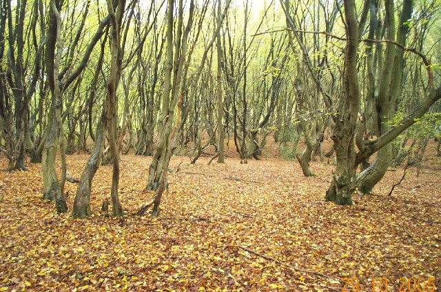
Nottlers Wood is a picturesque woodland located in the county of Hertfordshire, England. Covering an area of approximately 50 acres, this enchanting forest is renowned for its natural beauty and diverse ecosystem. Situated near the town of Hitchin, it offers a tranquil escape from the hustle and bustle of urban life.
The wood is predominantly composed of native broadleaf trees, including oak, beech, ash, and birch, which create a dense canopy that provides shade and shelter to a wide array of flora and fauna. Bluebells carpet the forest floor in the spring, creating a stunning display of vibrant color. The wood is also home to various species of wildflowers, ferns, and mosses, adding to its charm and ecological significance.
For nature enthusiasts, Nottlers Wood offers a wealth of opportunities for exploration and wildlife observation. The woods are teeming with birdlife, making it a popular spot for birdwatching. Visitors may catch a glimpse of species such as woodpeckers, owls, and various songbirds. Additionally, the woodland is inhabited by mammals like deer, foxes, and squirrels, which can often be spotted darting through the trees.
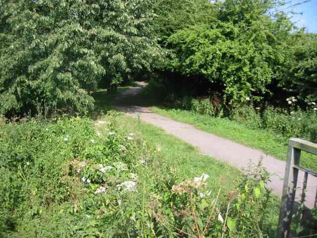
The wood features well-maintained footpaths and trails, allowing visitors to navigate through the forest easily. These paths provide access to scenic viewpoints and picnic areas, where visitors can take in the breathtaking surroundings and enjoy a peaceful outdoor experience. Nottlers Wood also offers educational programs and guided walks for those interested in learning more about the forest's ecology and conservation efforts.
In conclusion, Nottlers Wood stands as a natural treasure in Hertfordshire. Its lush vegetation, diverse wildlife, and tranquil atmosphere make it an idyllic destination for nature lovers and those seeking solace in the beauty of the great outdoors.
If you have any feedback on the listing, please let us know in the comments section below.
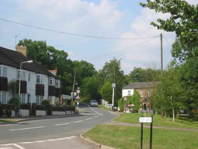
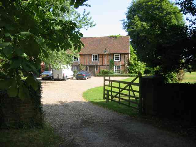
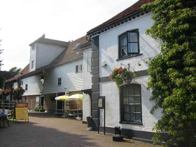
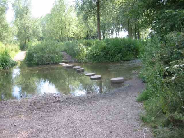
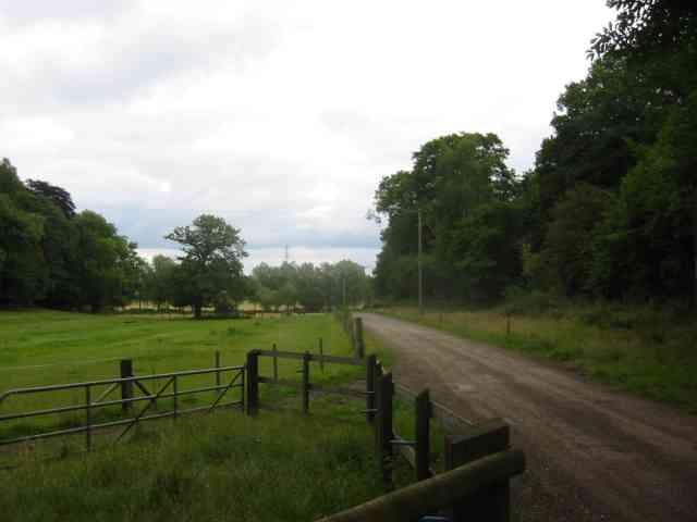
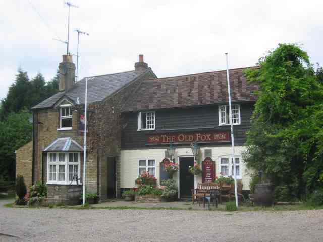
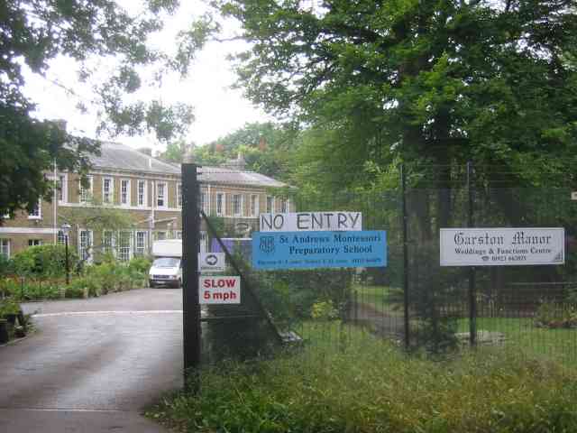
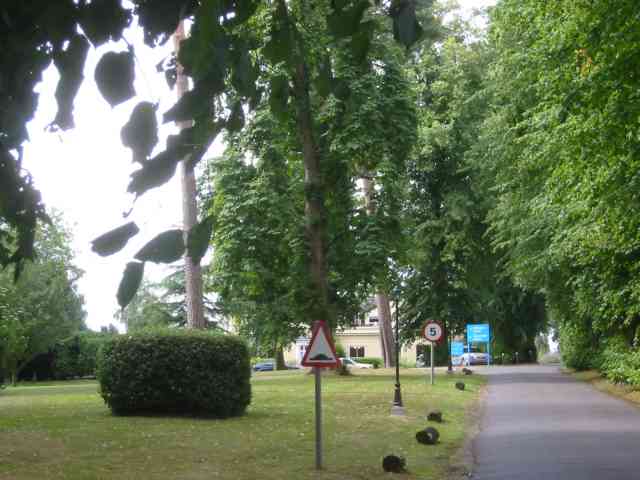
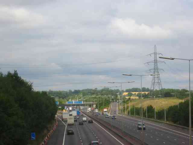
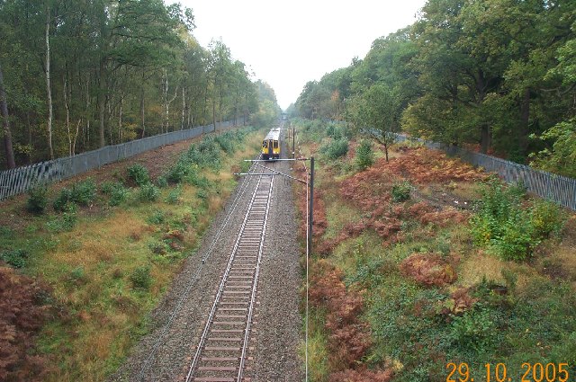
Nottlers Wood Images
Images are sourced within 2km of 51.703317/-0.35939395 or Grid Reference TL1301. Thanks to Geograph Open Source API. All images are credited.

Nottlers Wood is located at Grid Ref: TL1301 (Lat: 51.703317, Lng: -0.35939395)
Administrative County: Hertfordshire
District: St. Albans
Police Authority: Hertfordshire
What 3 Words
///tiny.smiled.songs. Near Radlett, Hertfordshire
Nearby Locations
Related Wikis

Abbey Line
The Abbey Line, also called the St Albans Abbey branch line, is a railway line from Watford Junction to St Albans Abbey. The 6.5-mile (10.5 km) route passes...
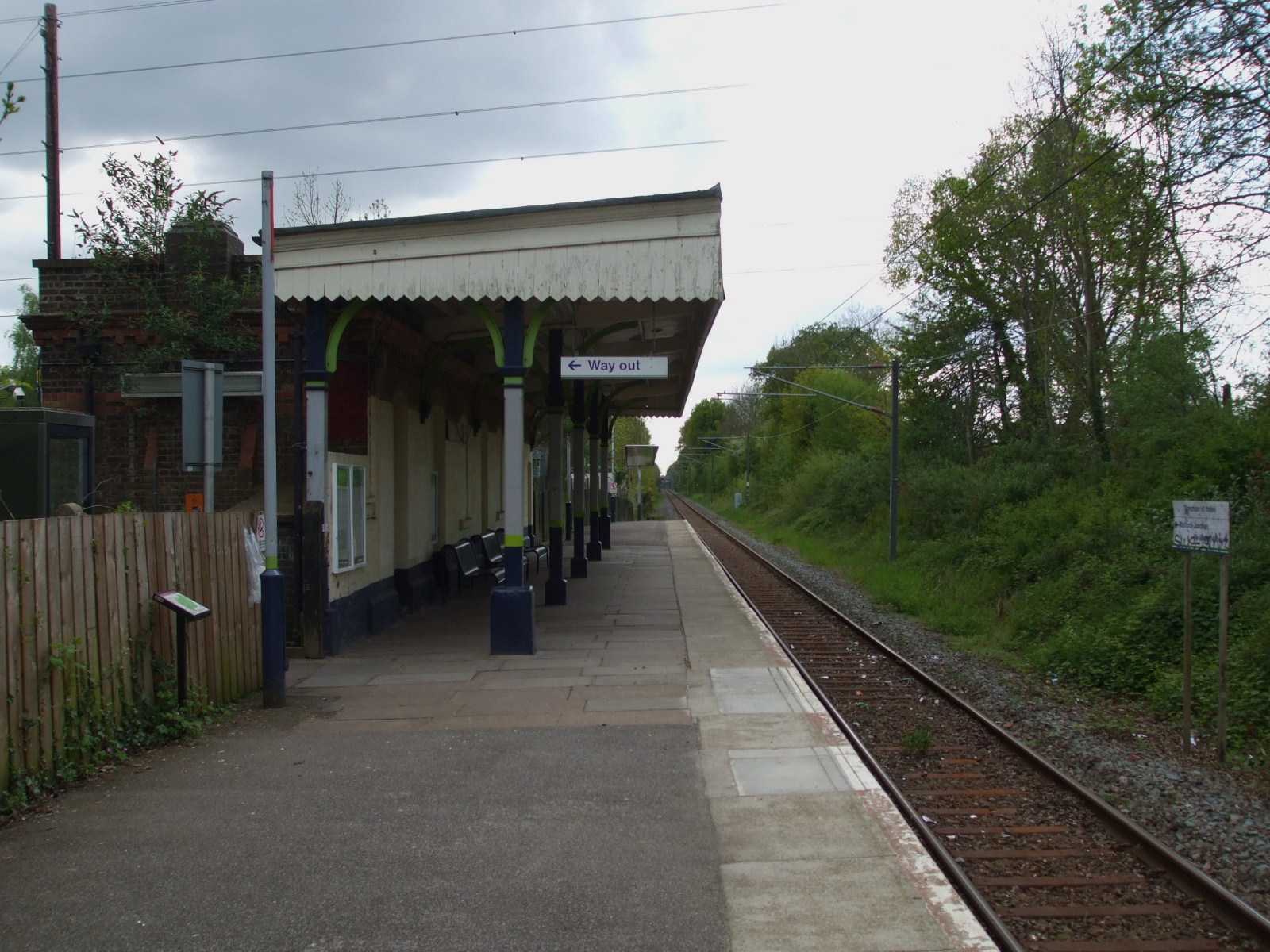
Bricket Wood railway station
Bricket Wood railway station is in the village of Bricket Wood, Hertfordshire, England, on the Abbey Line 31⁄4 miles (5 km) east of Watford Junction. The...
Bricket Wood
Bricket Wood is a village in the county of Hertfordshire, England, 4.2 miles (6.8 km) south of St Albans city centre (though in said city's contiguous...

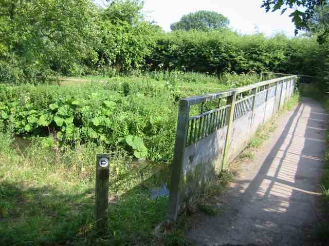
River Ver
The Ver is a 28 km (17 mi) long chalk stream in Hertfordshire, England. It is a tributary of the River Colne. == Course == The source is in the grounds...

Hanstead Stud
The Hanstead Stud was a breeding farm in England for Arabian horses. It was active from 1928 to 1957, and its animals had a significant impact in many...
Hanstead House
Hanstead House or Hanstead Park is a country house estate in Hertfordshire, England. Hanstead is near Bricket Wood, about three miles from Radlett and...

Bricket Wood Common
Bricket Wood Common is a 70 hectare open space and biological Site of Special Scientific Interest in Bricket Wood in Hertfordshire. It is managed by St...
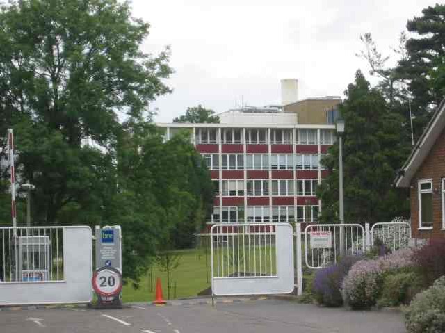
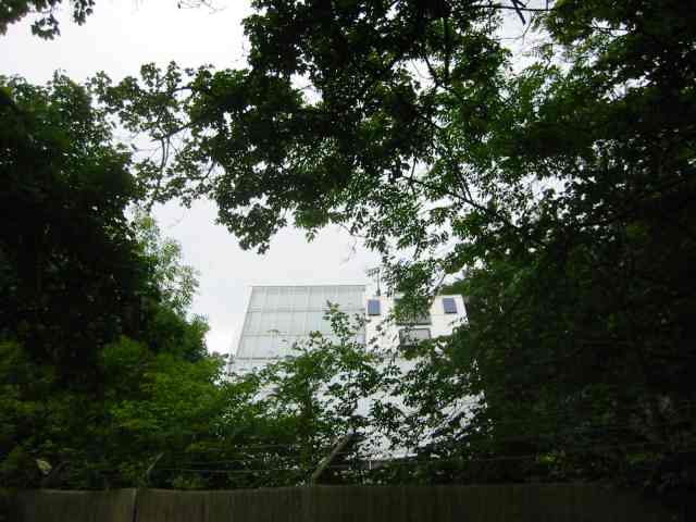
Building Research Establishment
The Building Research Establishment (BRE) is a centre of building science in the United Kingdom, owned by charitable organisation the BRE Trust. It is...
Nearby Amenities
Located within 500m of 51.703317,-0.35939395Have you been to Nottlers Wood?
Leave your review of Nottlers Wood below (or comments, questions and feedback).